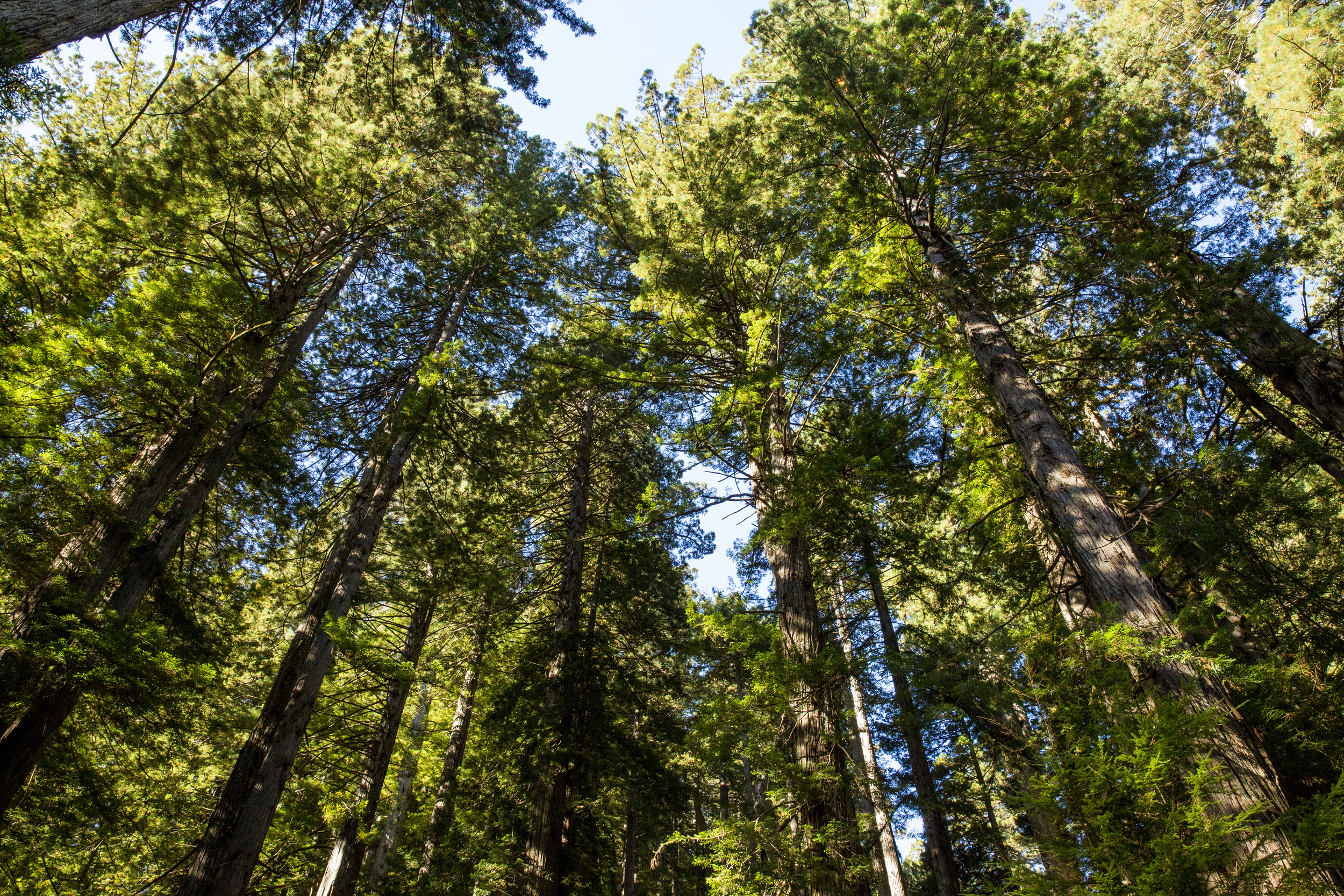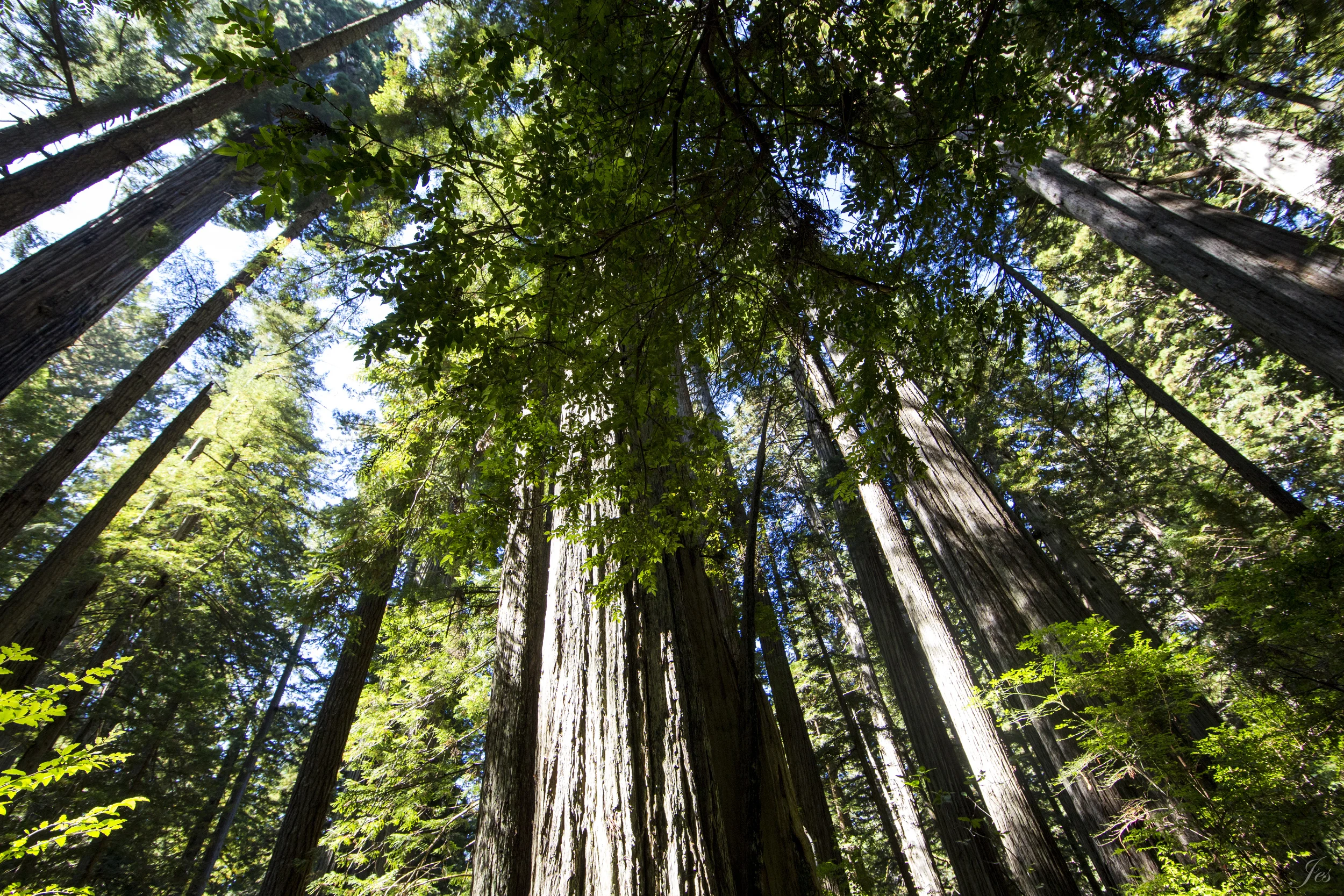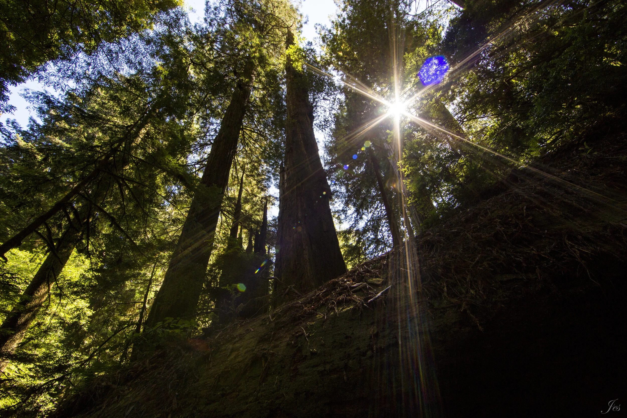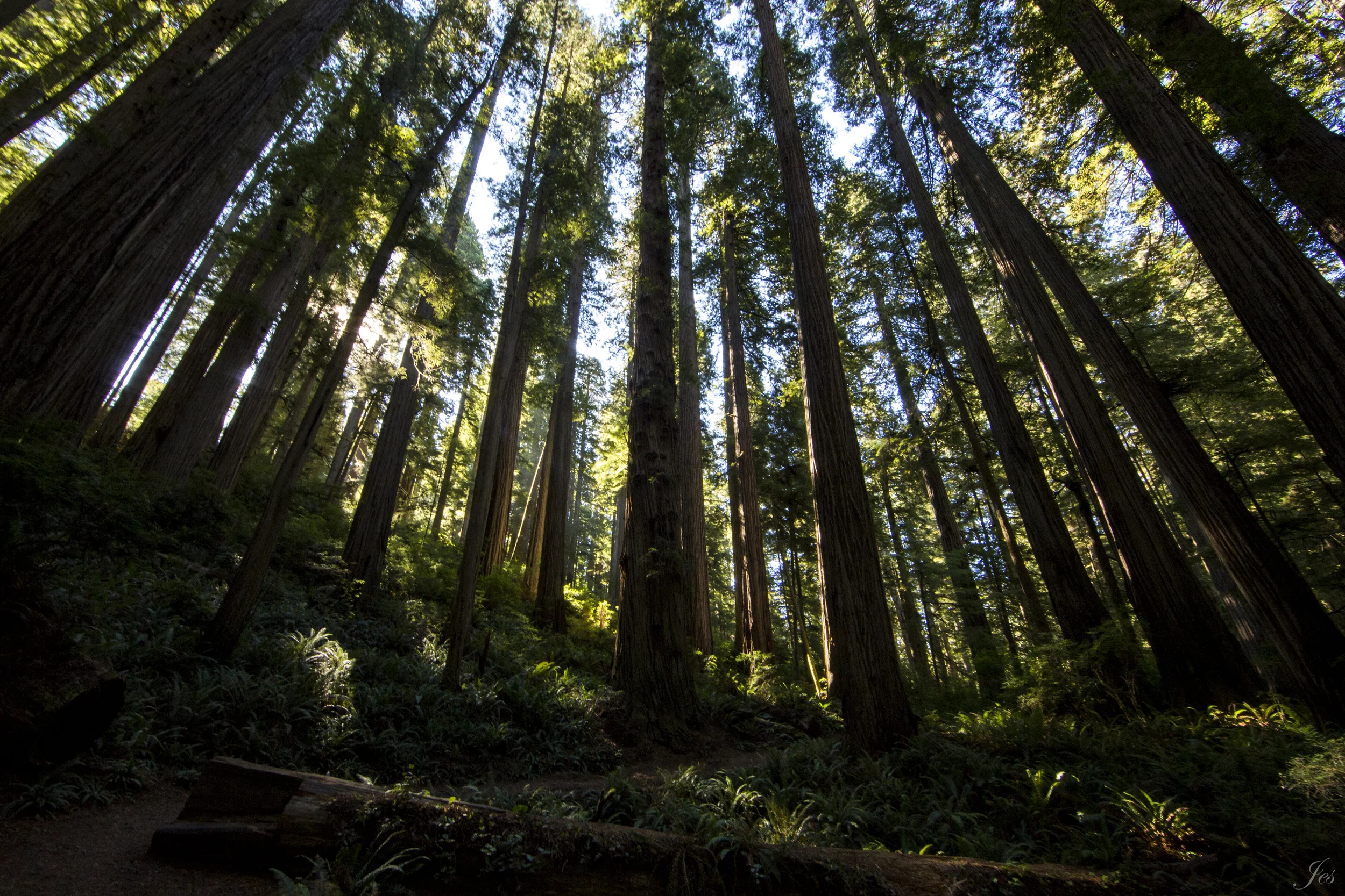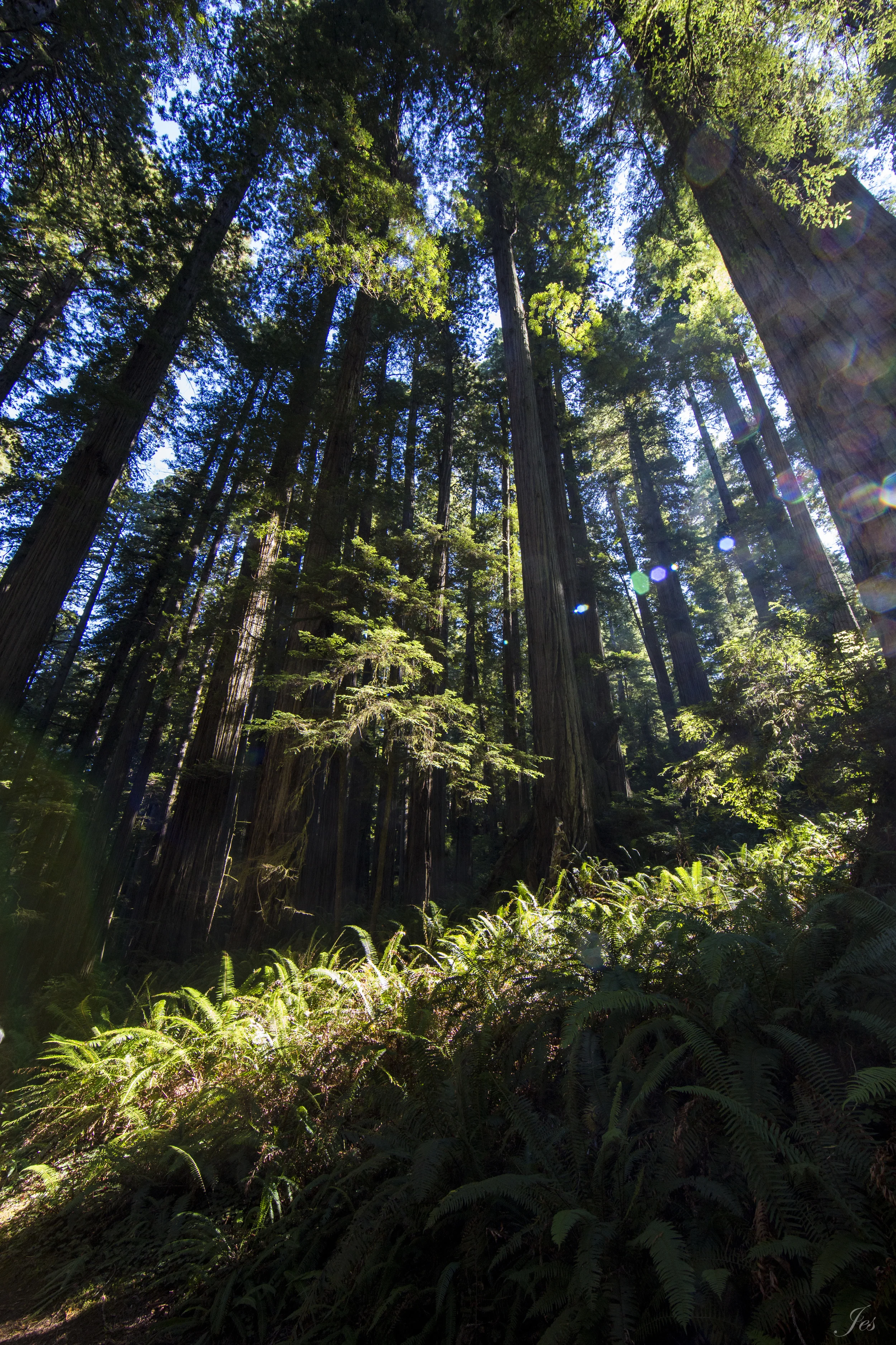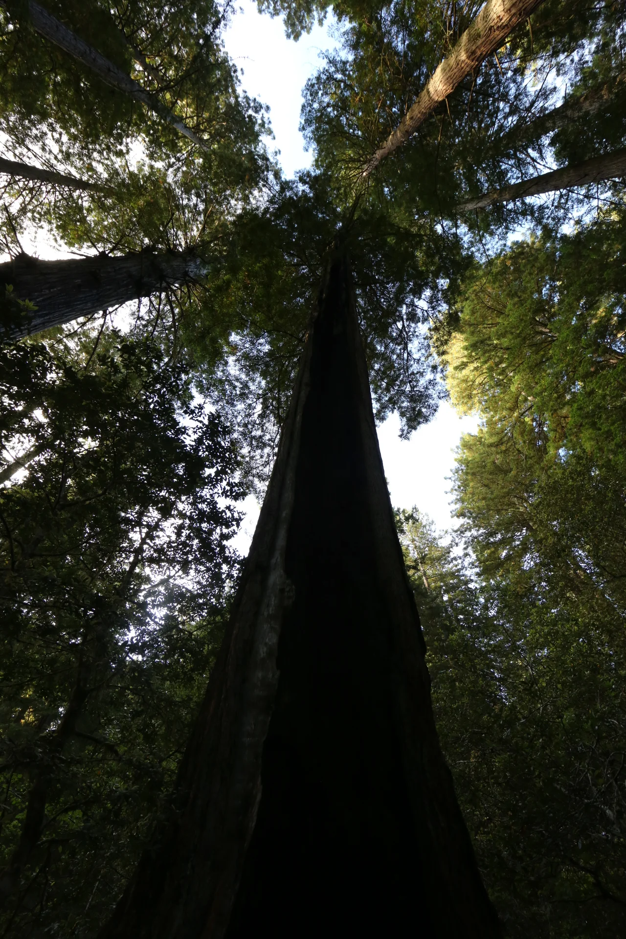
Trees are SOOOOOOOOOOOO TALL!!!! This is the infamous redwood national park on the very north of California, only an hour away from the Oregon/California border. (Such a long drive T_T) It is a beautiful park right next to the Pacific Ocean. We arrived on Friday night, and spent 2 full days hiking around the park, and drove back down on Monday. It was a lot of driving (almost 1800 miles total), but it was all worth it.
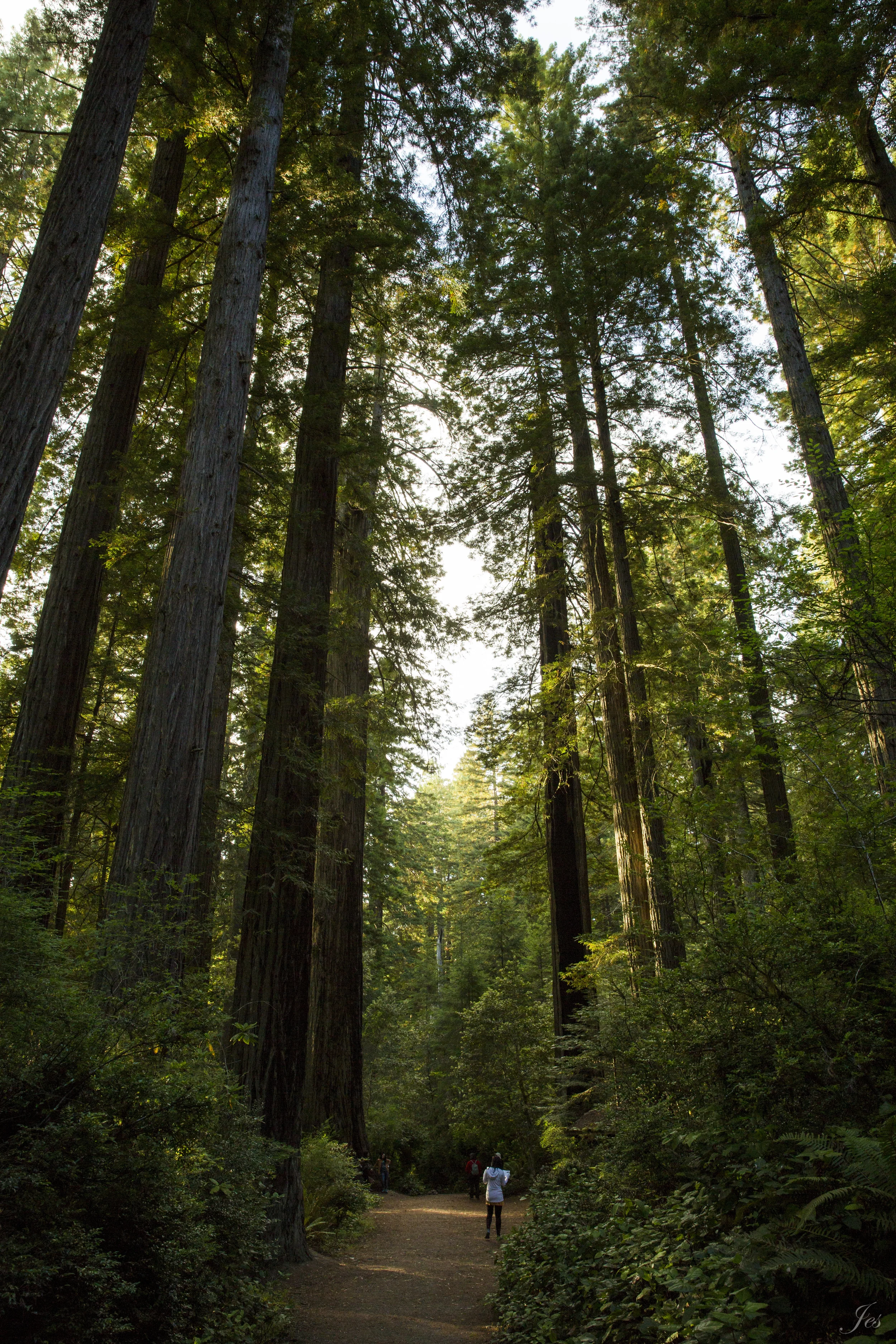
Driving from the south up, you will enter the Redwood National Park first, and then if you keep driving up on US-101 N, you will then hit the Prairie Creek Redwoods State Park, then if you keep driving, you will see the Jedediah Smith State Park. We hiked in all three parks, and they were all beautiful. Because of the canopies of the redwoods, the hikes are mostly under shades, and also the temperature is around 60-70, which is perfect hiking weather. It might be a little chilly in the beginning, but once you start walking for a while, you warm up.
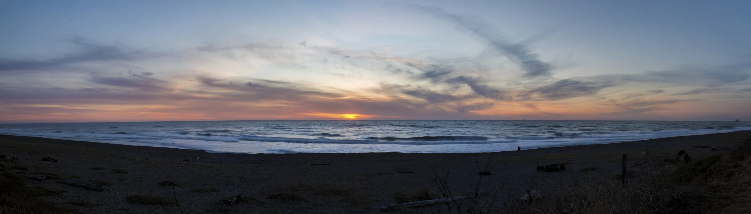
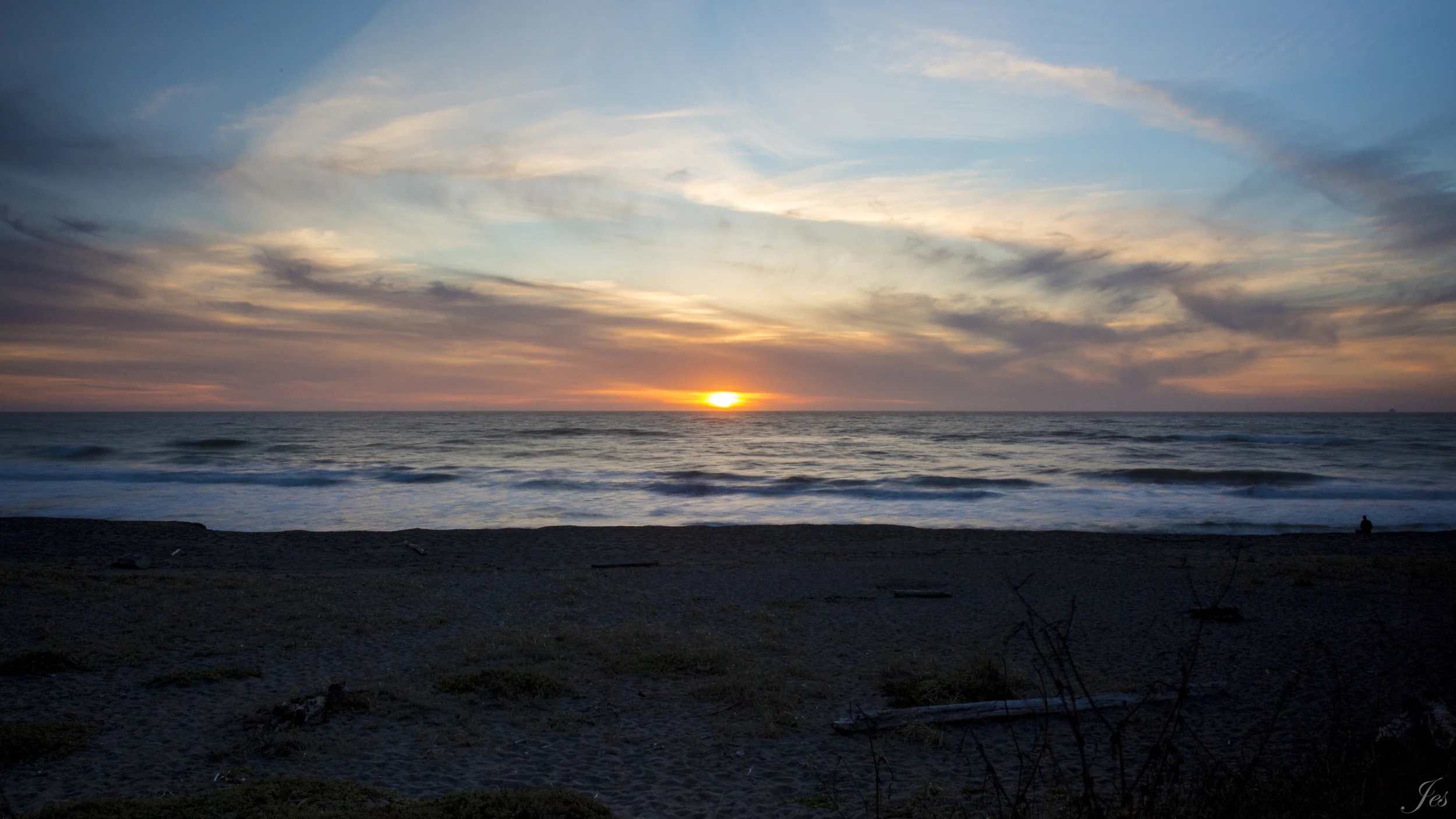
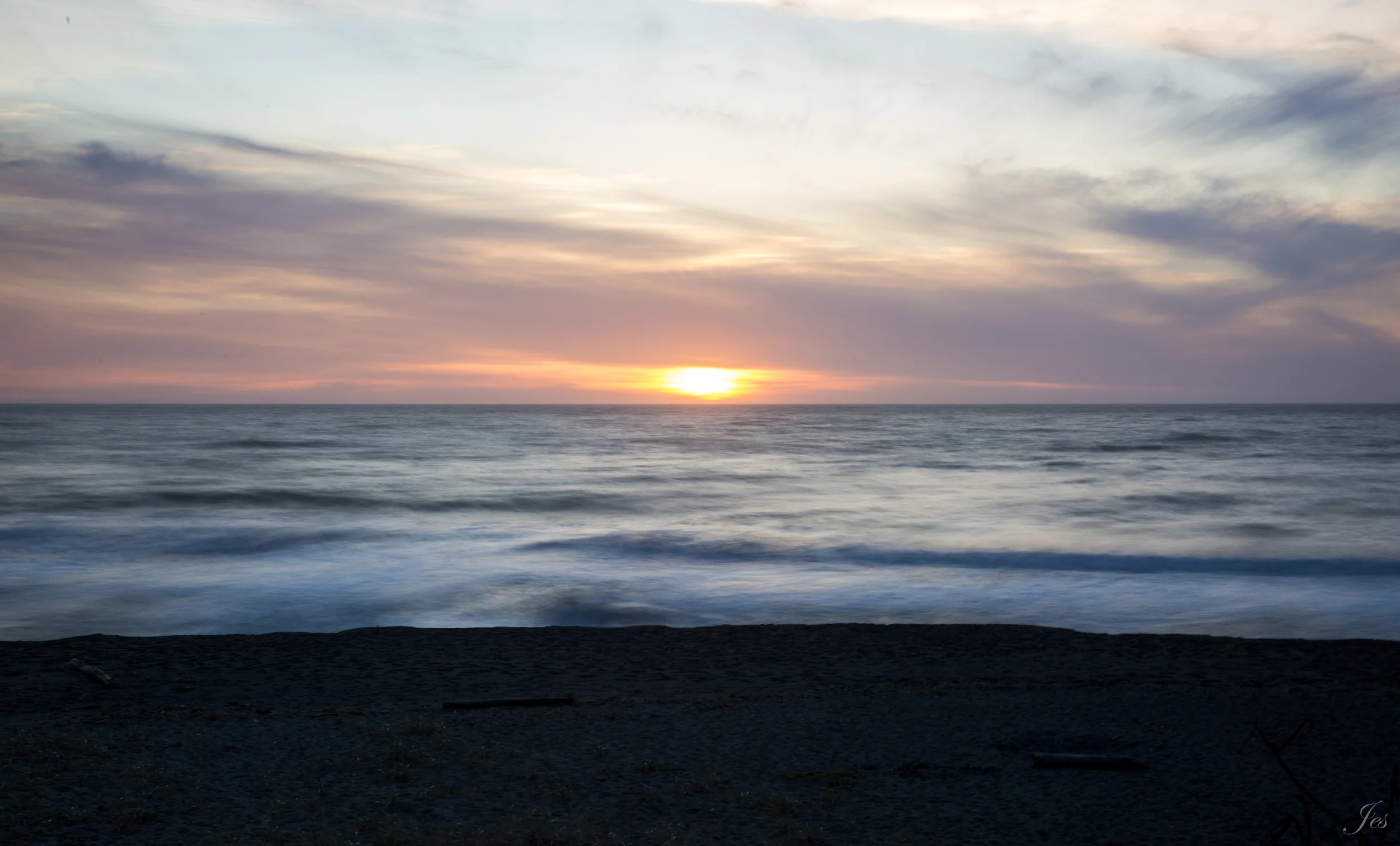
Sunset right next to the US-101
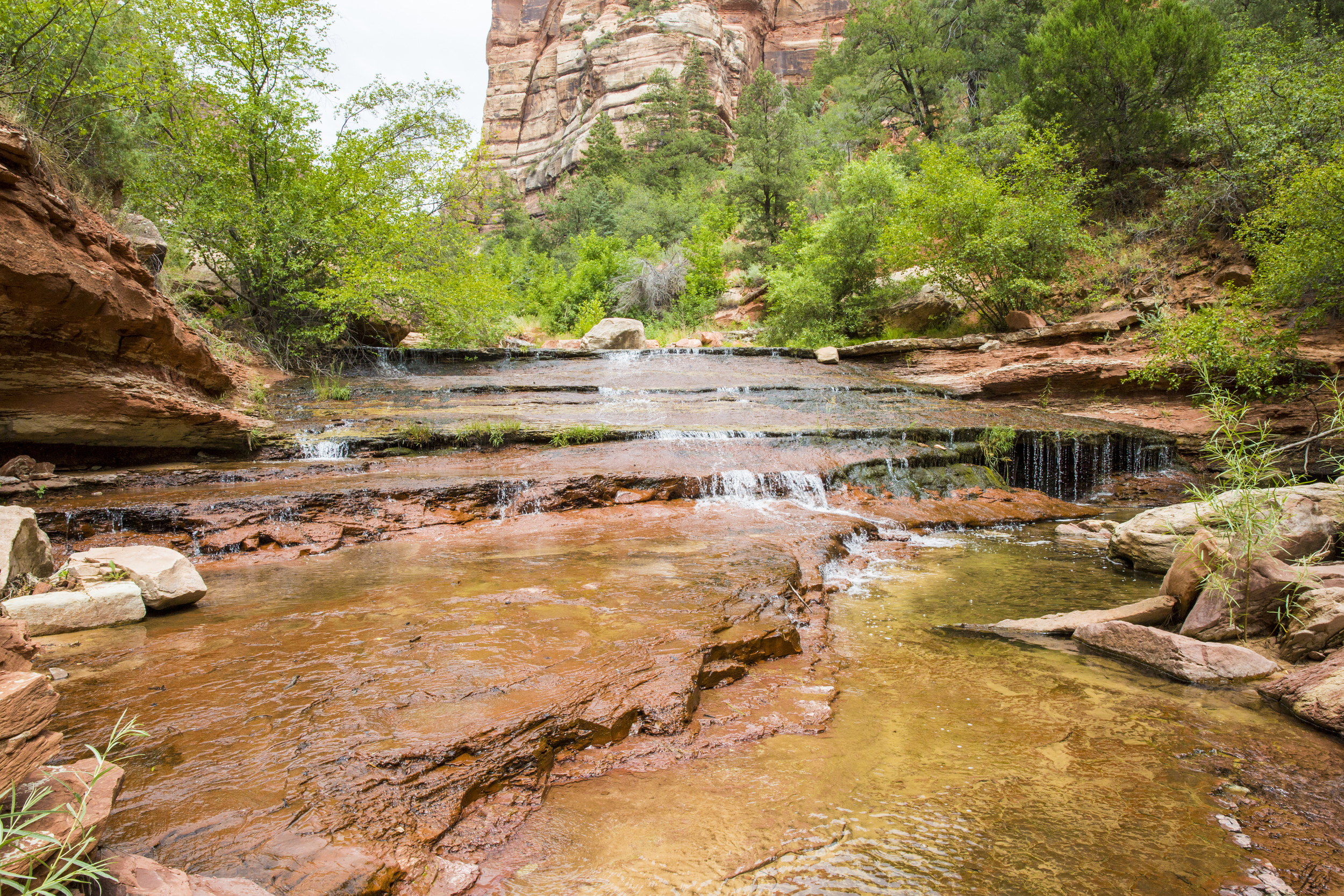
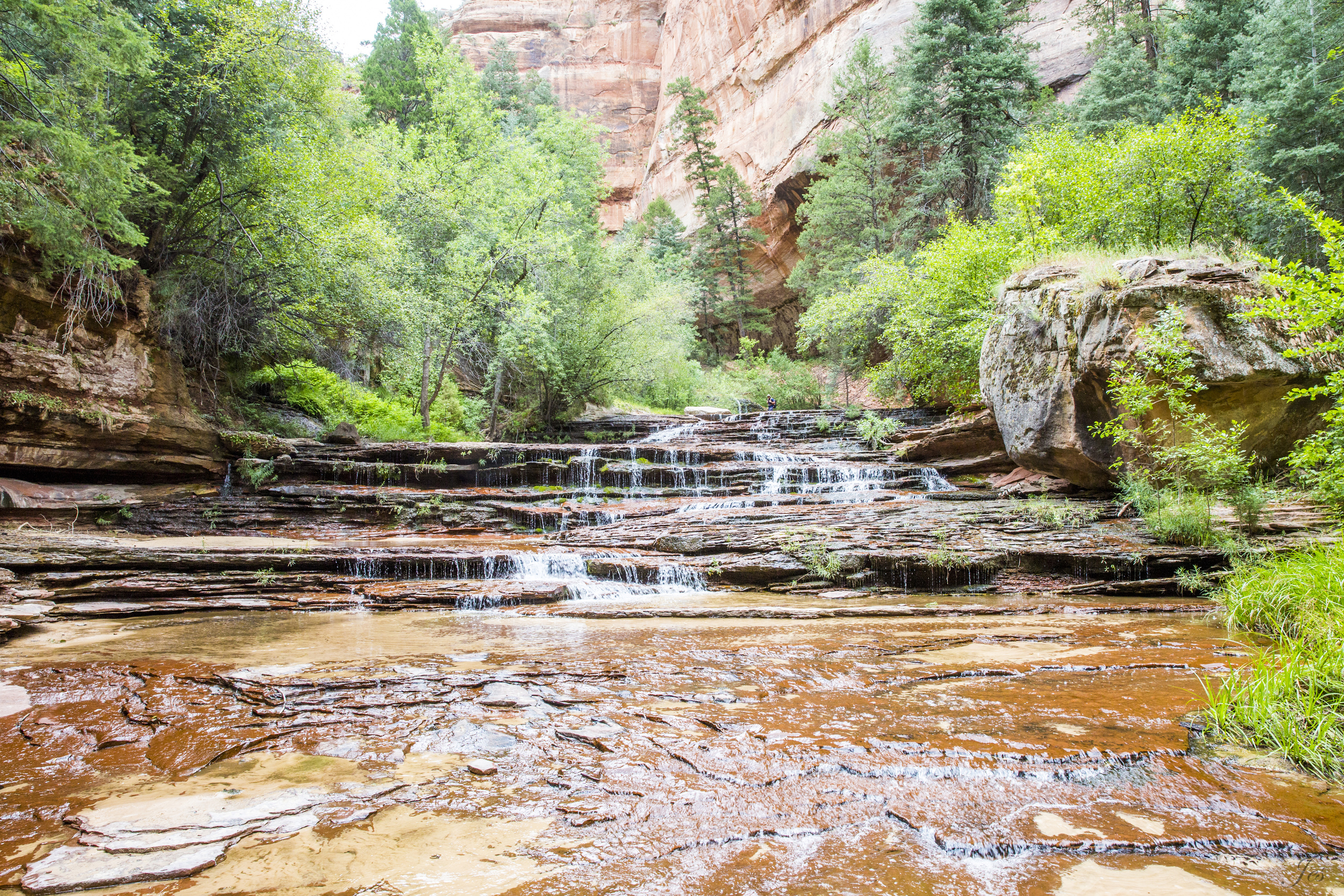
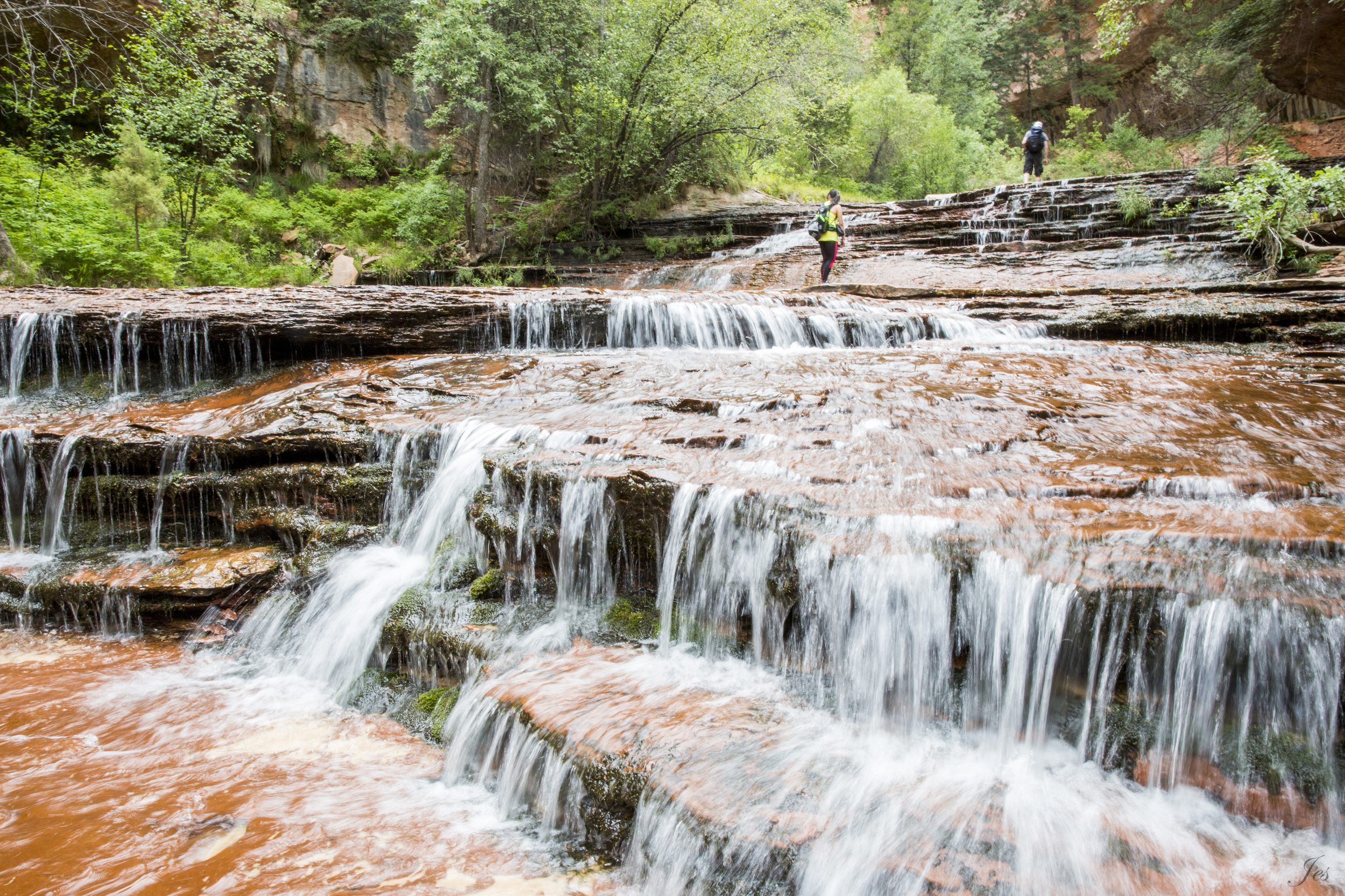
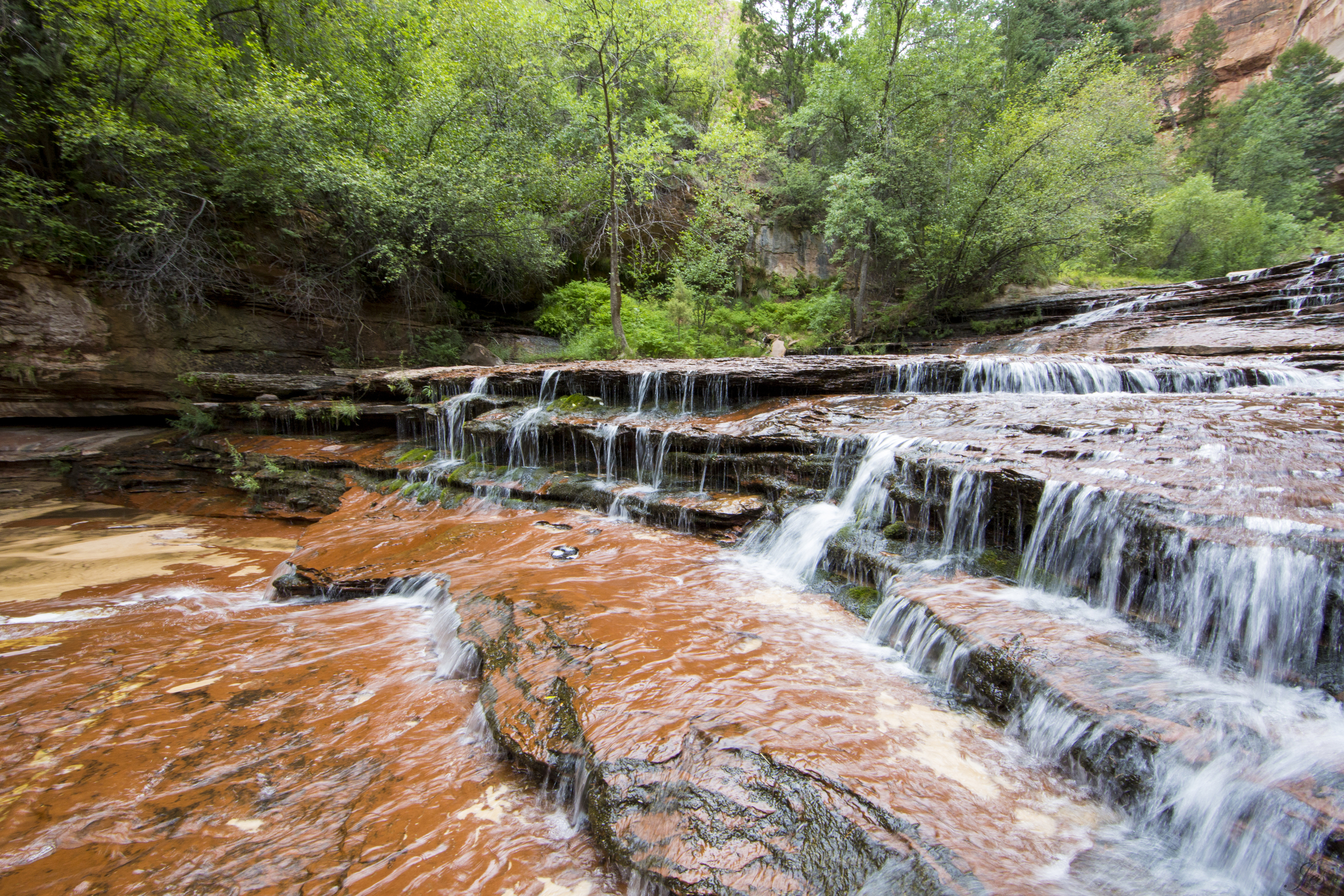
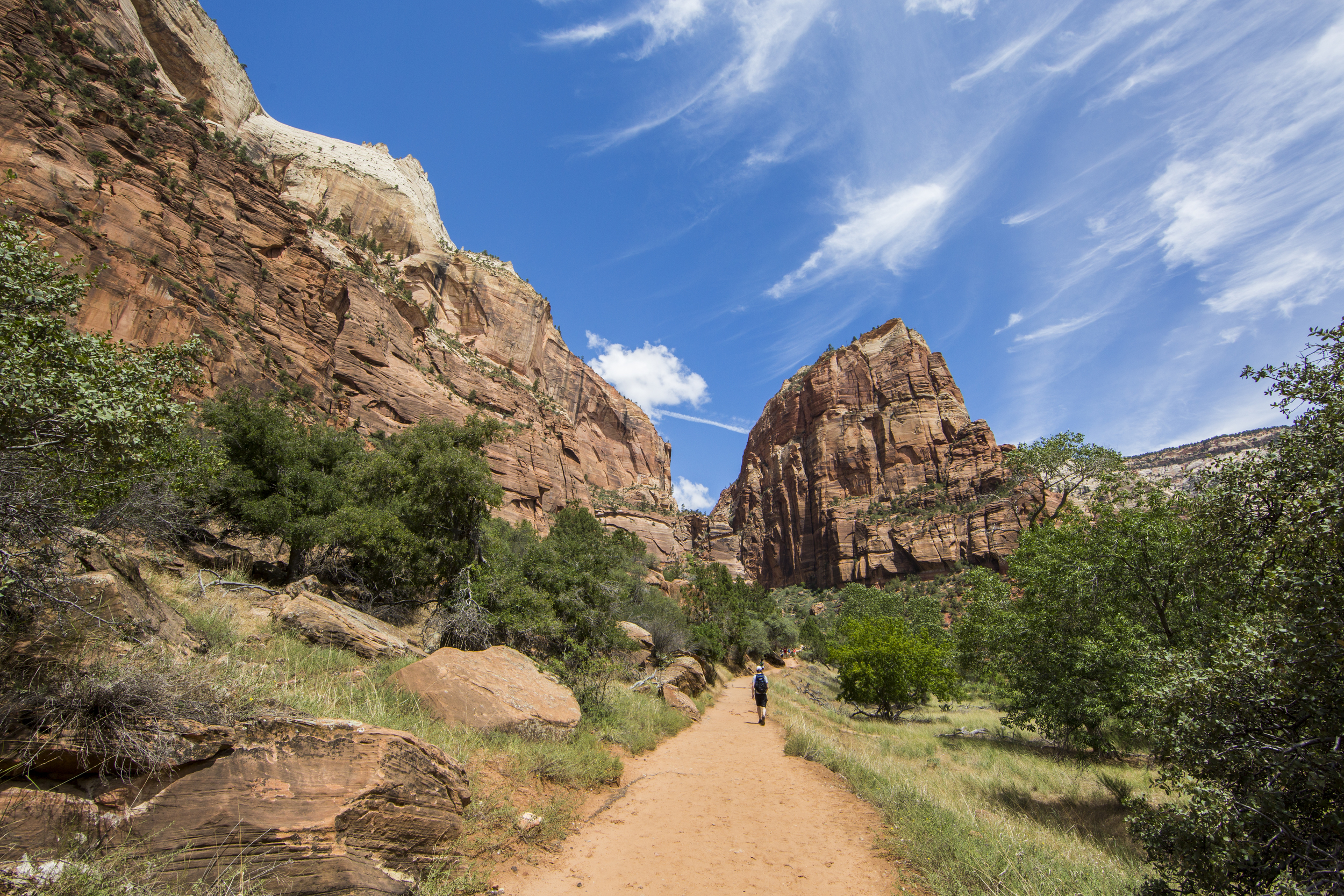
There are a couple of scenic drives in the area, including the Bald Hills Road, that actually leads you to the Tall Trees Trail. The Tall Trees Trail is accessible by permit only, but all you need to do is go to the visitor center and ask for it. It is free and the hike was not strenuous at all. Besides the Tall Trees Trail, the Bald Hills Road also passes through the Lady Bird Johnson Grove ( a very short, flat yet pretty hike) and the Redwood Creek Overlook (2100 feet). There is another scenic drive on the Howland Hill Road, which leads you to the Boy Scout Trail. This drive is located all the way up in the Jedediah smith Redwoods State Park, and on the way there, part of the US-101 is right next to the beach. You can pull over and literally walk to the beach, it is absolutely gorgeous. We went to the Boy Scout Trail, and this is one of my favorite hikes on this trip. It was a 5 miles round trip hike, and at the end of the trail, there's a little fern fall.
Also, on the way up there, you should pass by the "Trees of Mystery", and one of the most appealing activities there is the SkyTrail! It is basically a cable car ride that goes through the forest tree tops, and you get a bird's eye view of the forest.
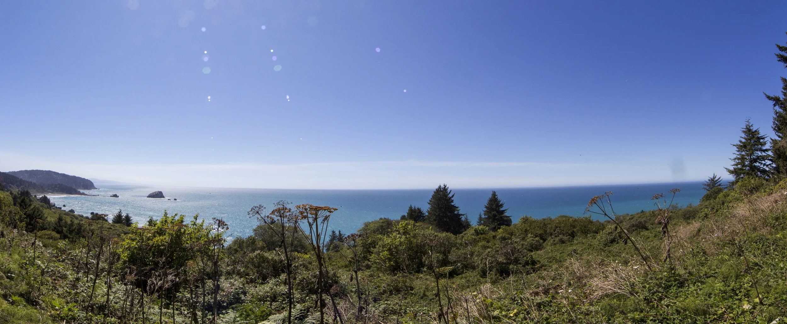
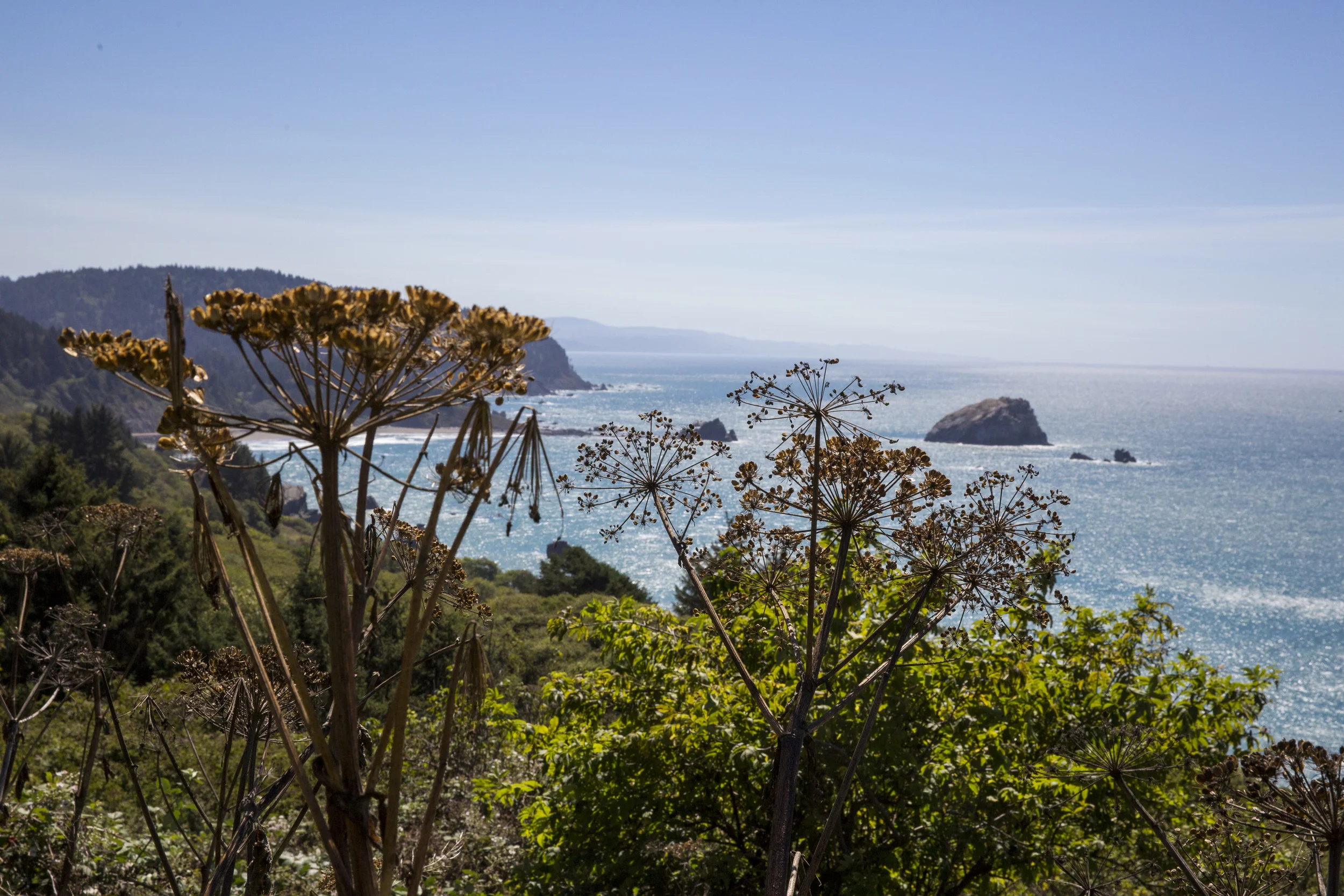
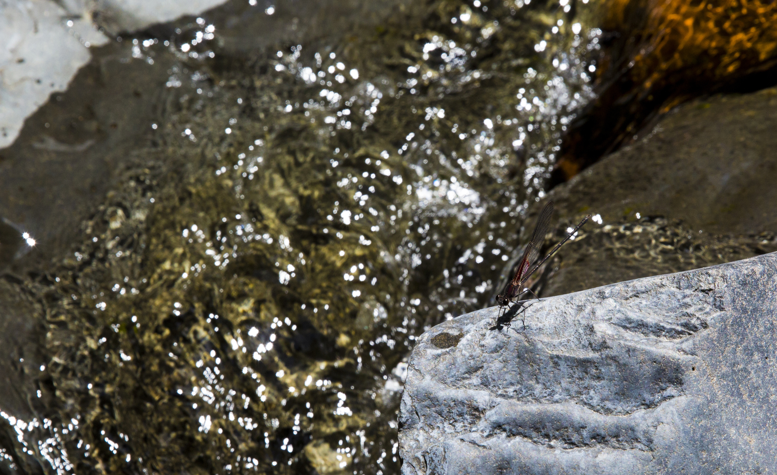
This is the view of our lunch on day
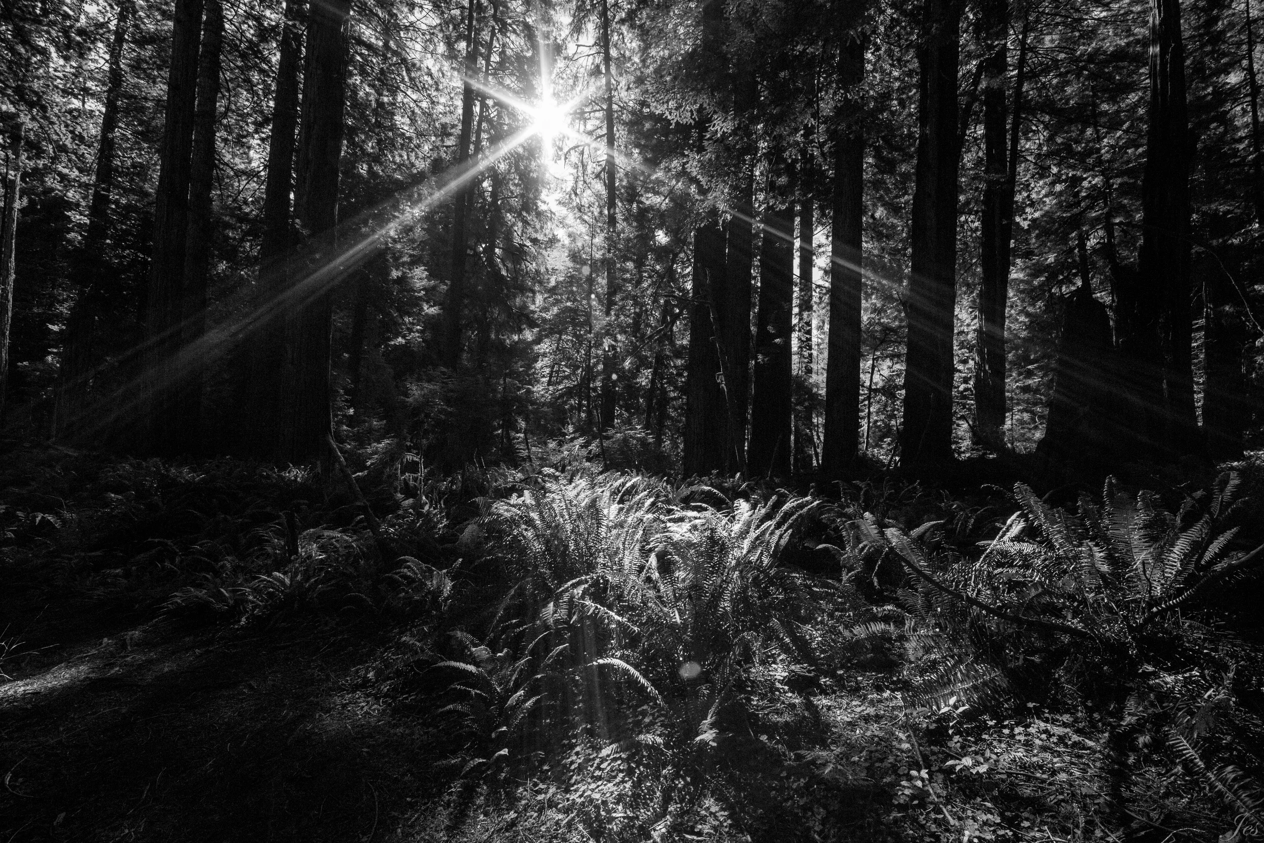
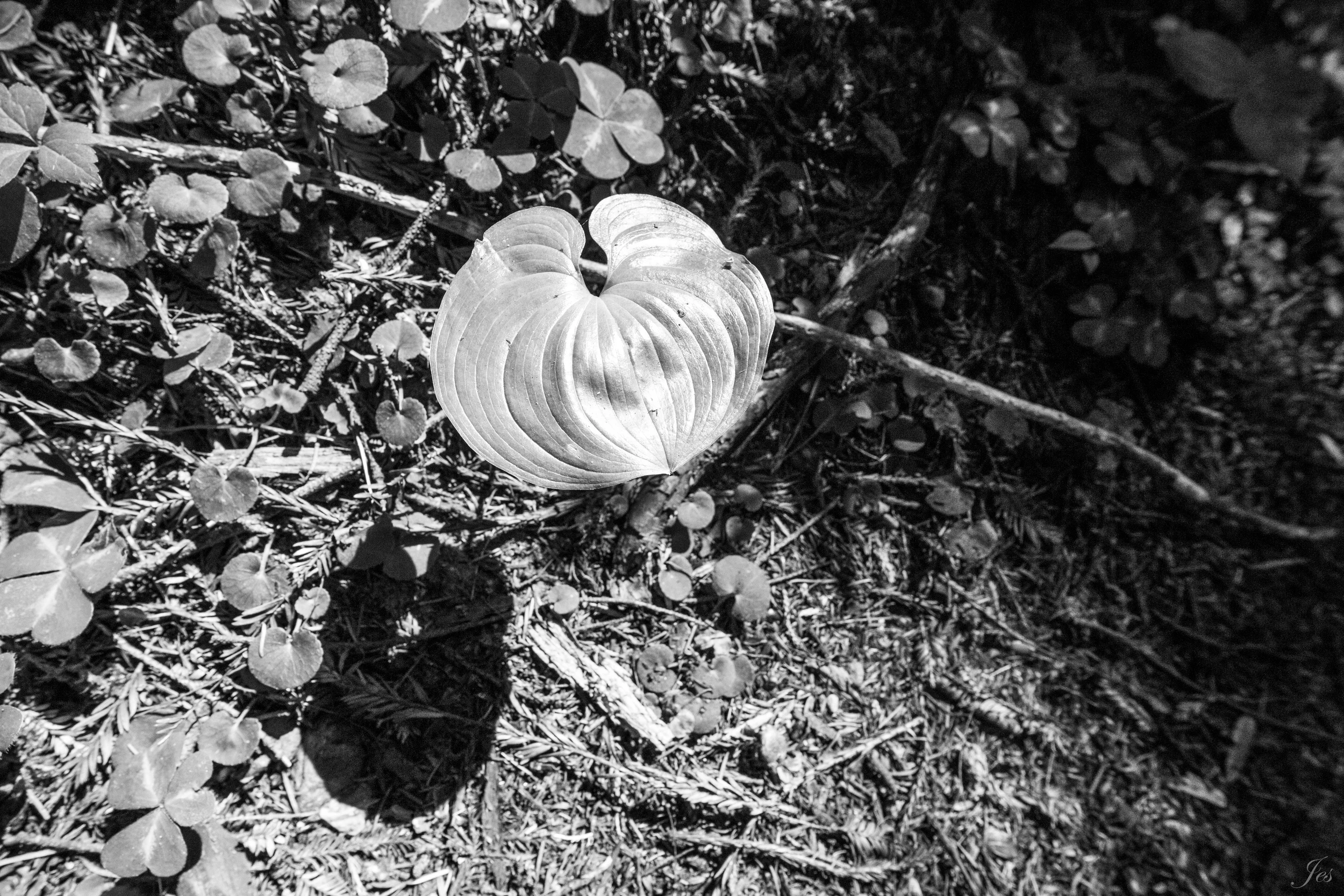
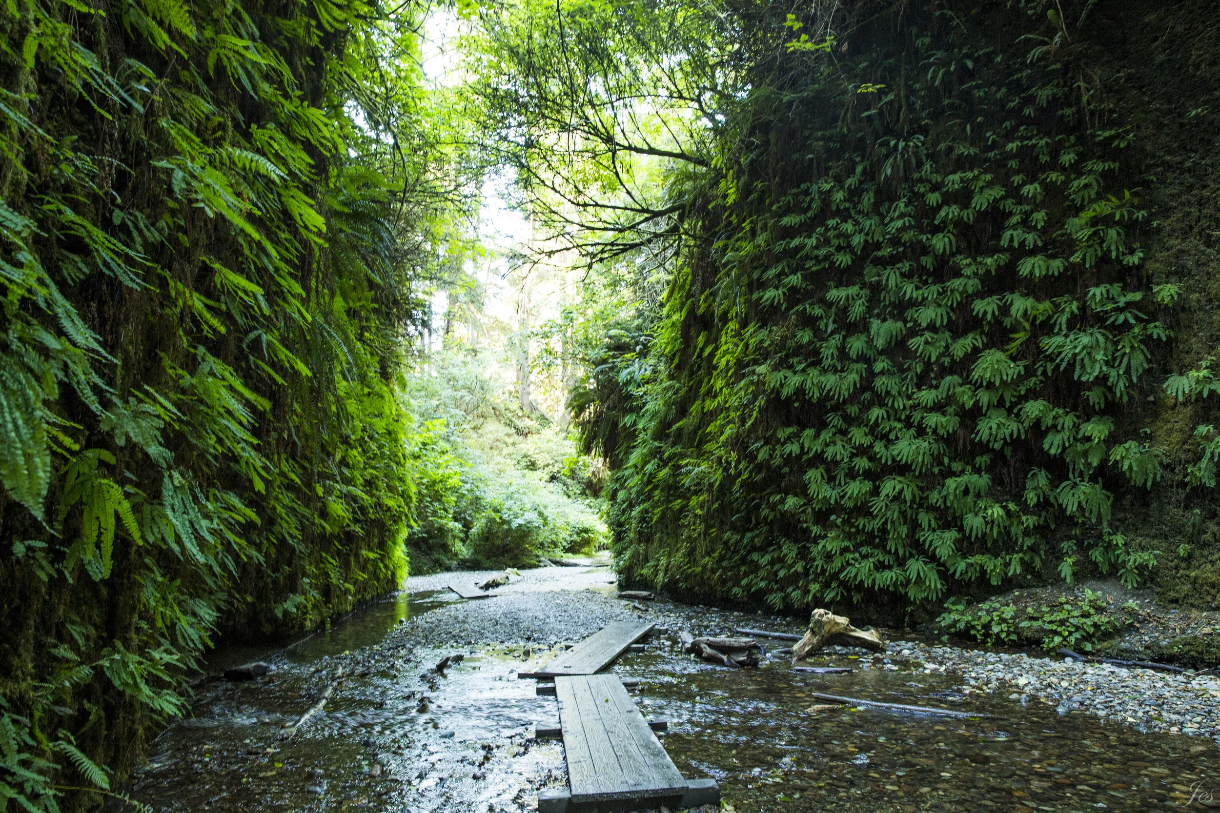
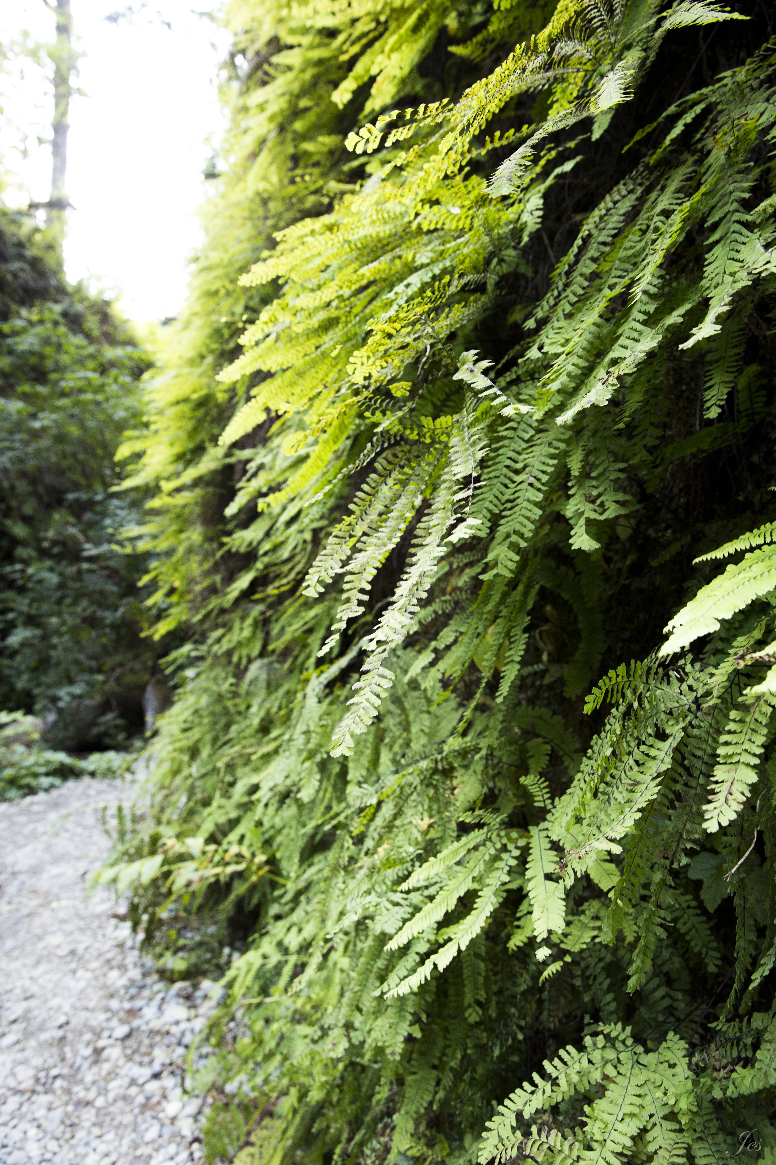
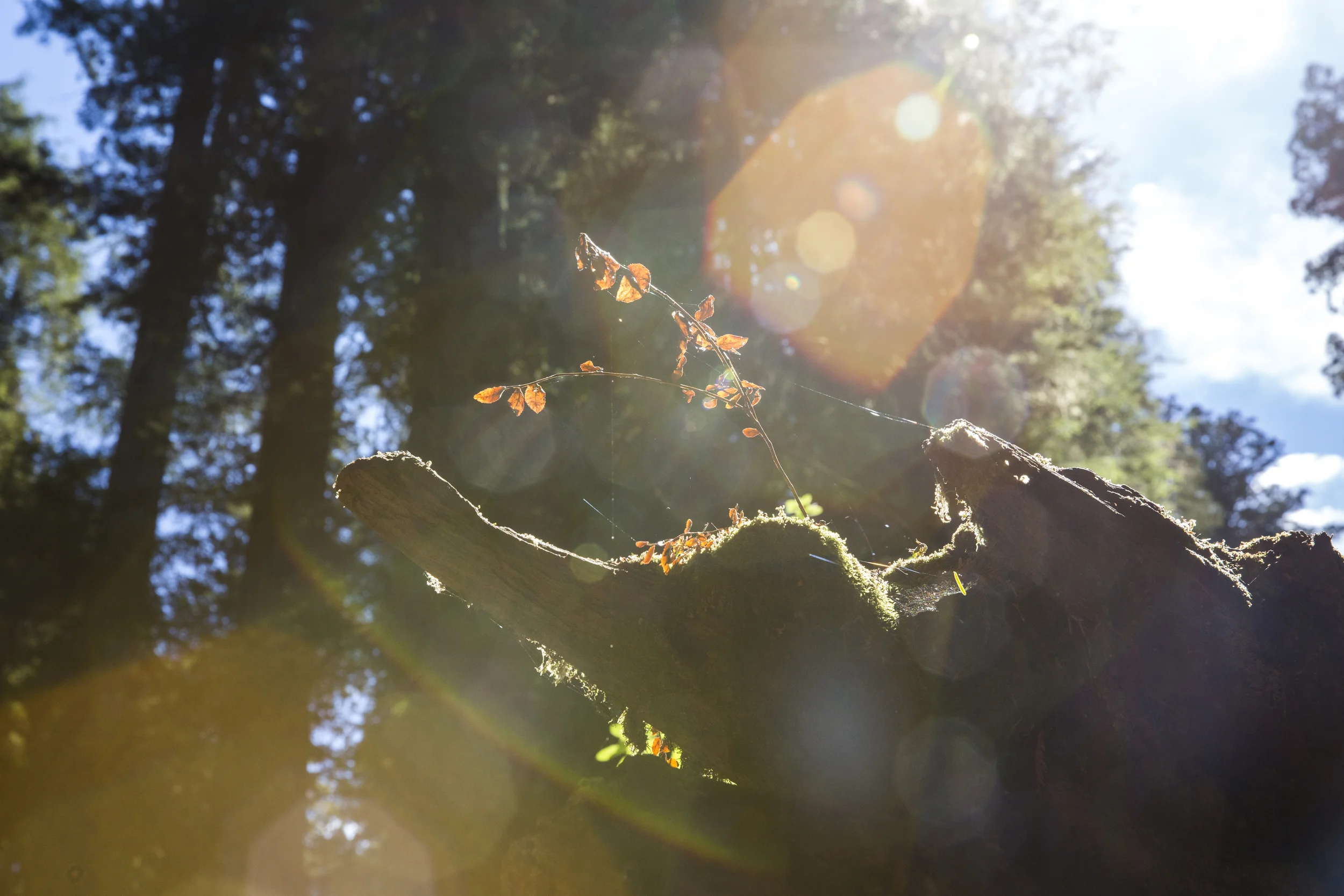
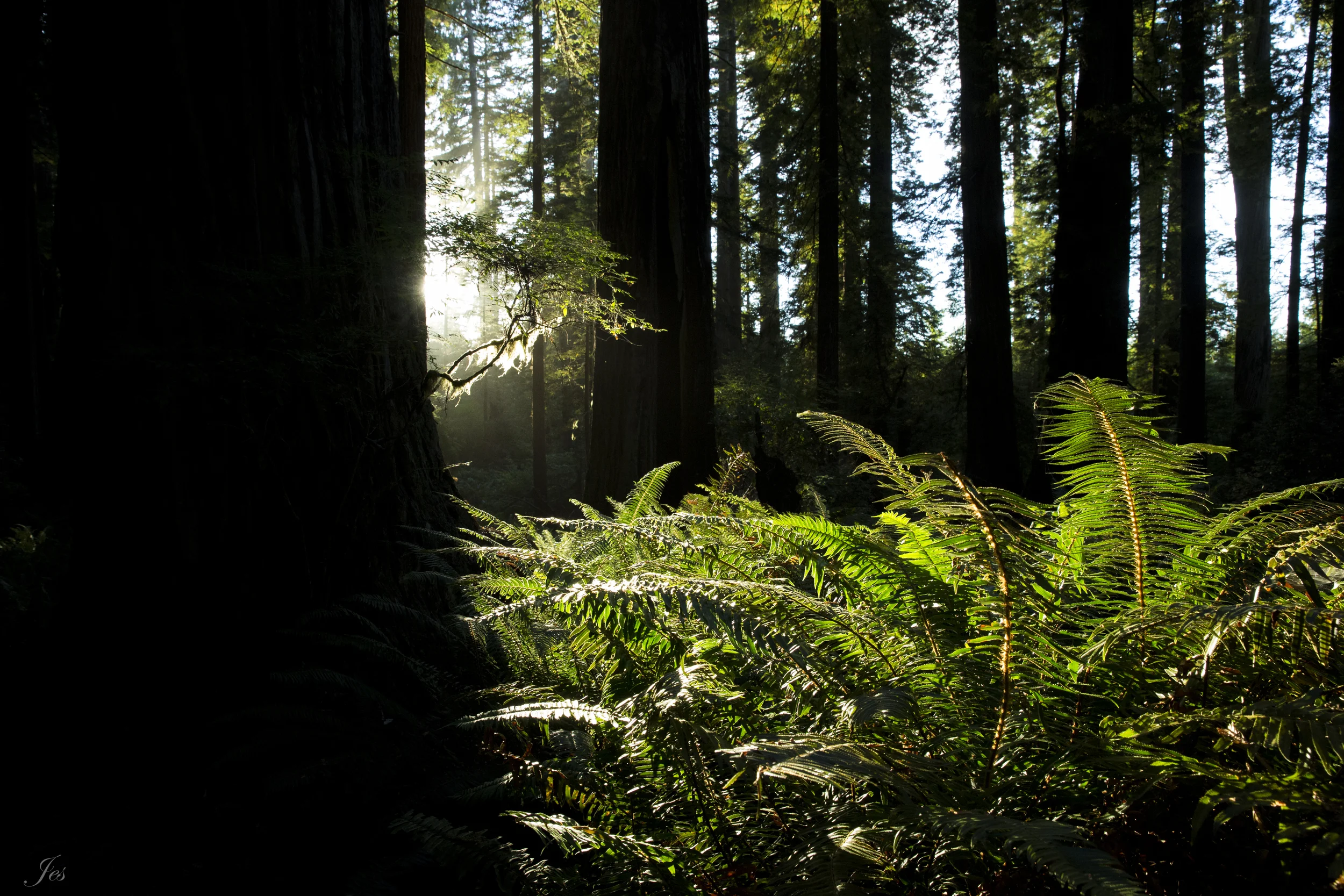
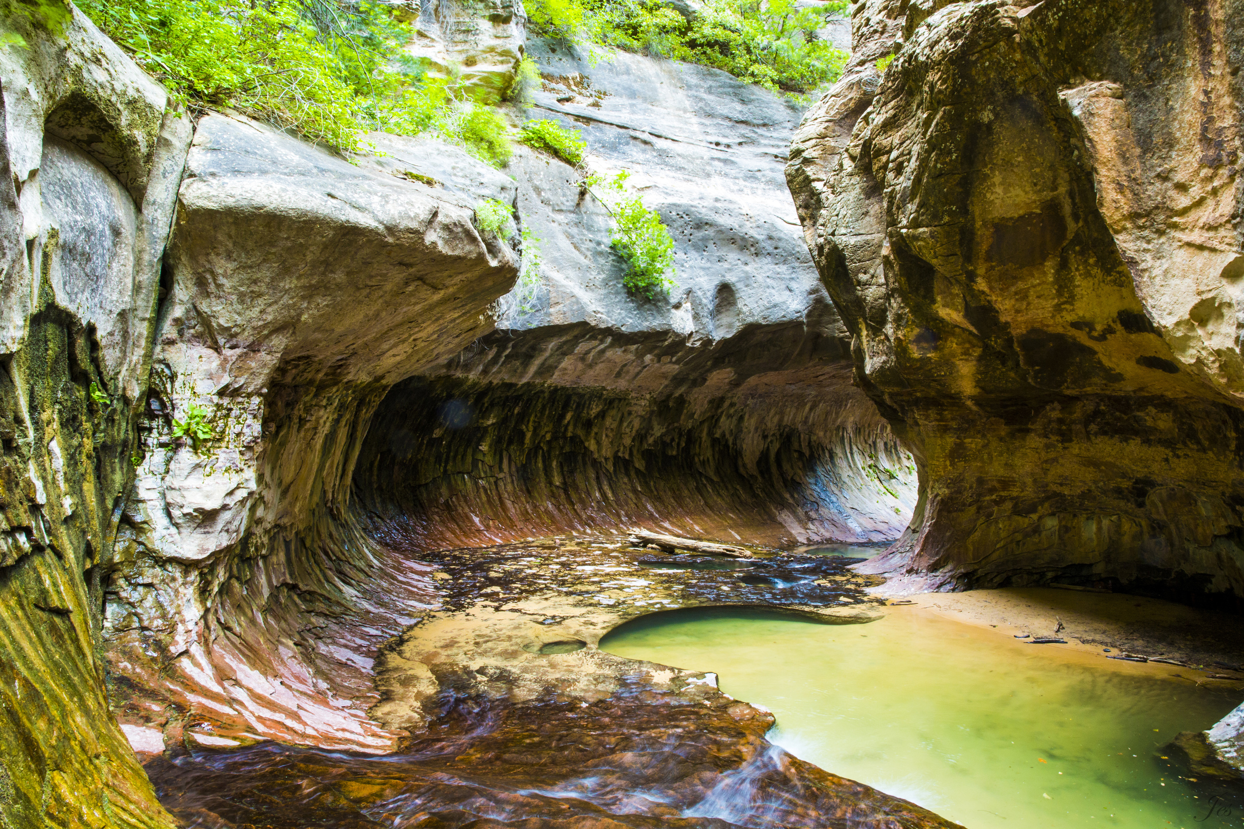
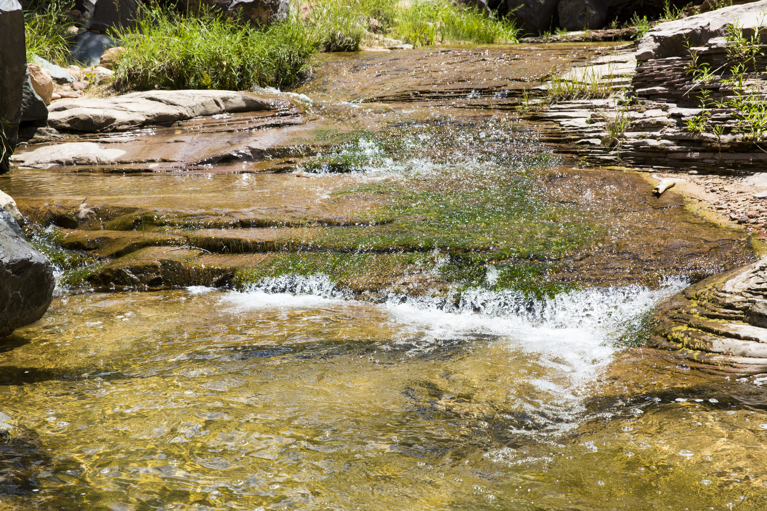
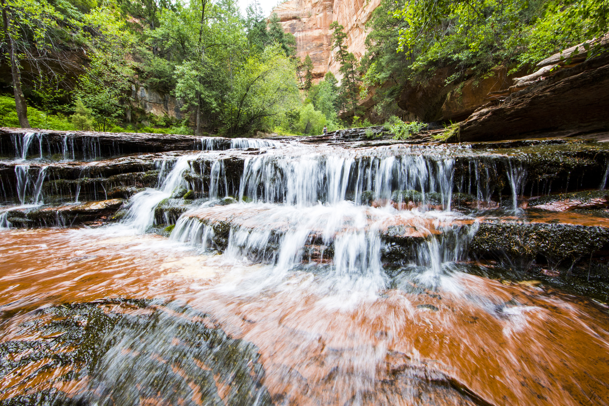
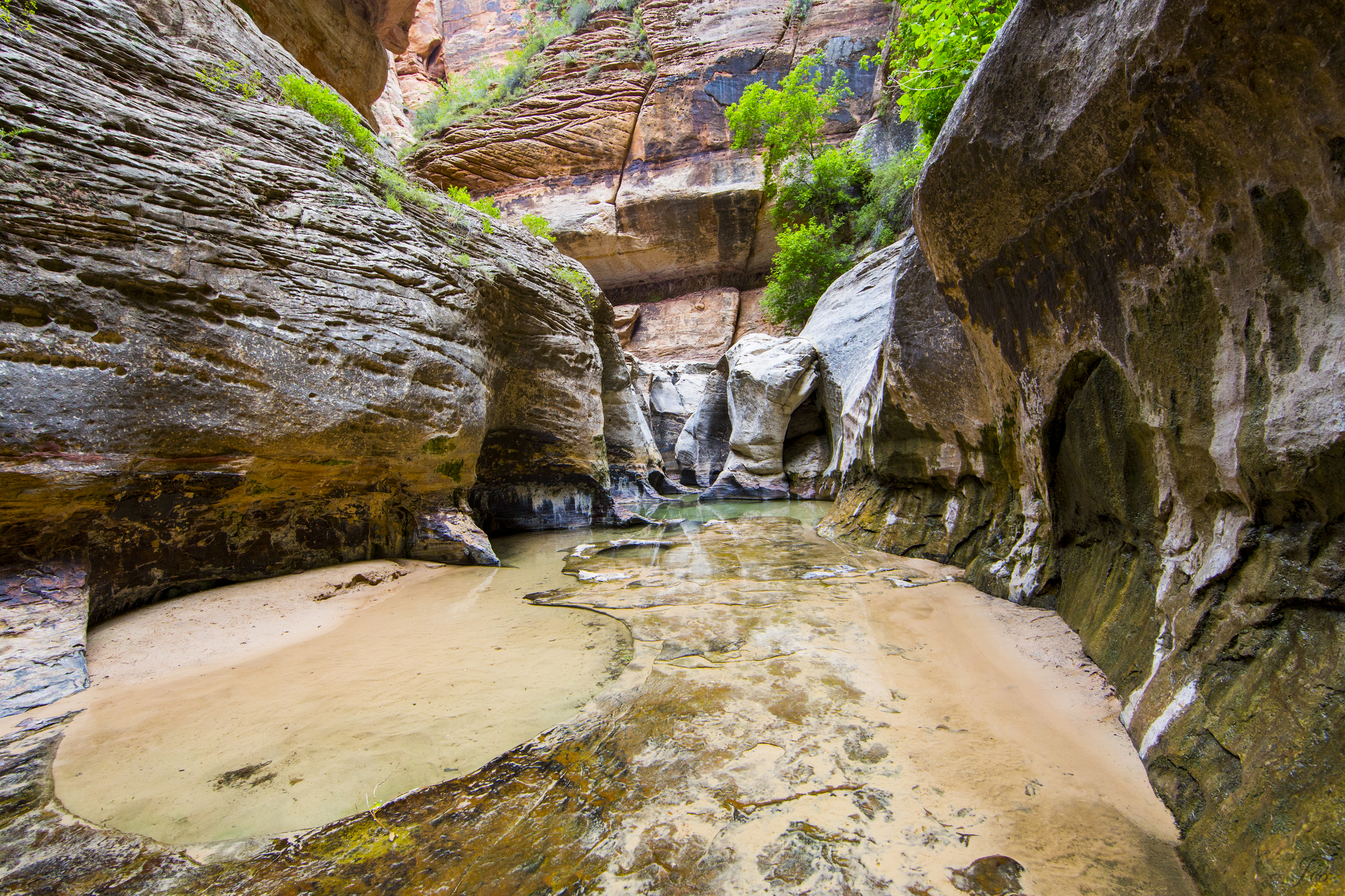
One thing you should definitely not miss is the Fern Canyon. We were driving on another scenic drive "Newton B Drury Parkway", and our plan was to walk from the Rhododendron Trail to the north westridge trail, through the Friendship Ridge Trail to the Fern Canyon Loop Trail. Unfortunately, we made some wrong turns, so we ended up hiking the south West Ridge trail down to the visitor center. We could have taken the James Irvine Trail to the Fern Canyon from the visitor center, but it was already noon, and hiking there and back to the car would be more than 8 miles. So, we decided to go back up through the Prairie Creek Trail to the car and drove to the another entrance of the Fern Canyon trail through Division Road. The Division Road is unpaved, with a couple of shallow streams that you will have to cross. It cannot be traversed by SUVs and RVs. Even with a small car, you will need to be super slow for your bumper. After you survived the drive, the hike is less than a mile, and it was absolutely amazing (you forget all the trouble it took to get here until you have to drive back lol). The walls are covered with ferns, and some of the ferns are ancient species. dating back to 325 million years ago. You pass through some logs and streams of water on the trail, and you can see mini waterfalls dripping from the moss and ferns on the side. Definitely a very unique hike. (Fun fact: Steven Speilberg filmed a Jurassic Park II scenes here!!)
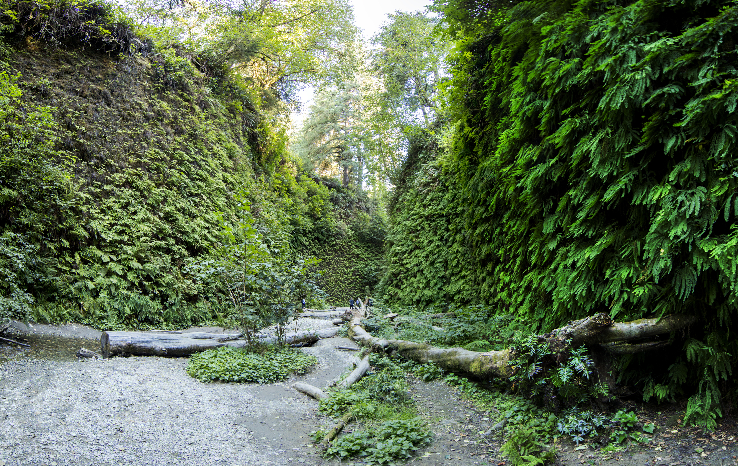
Fern Canyon
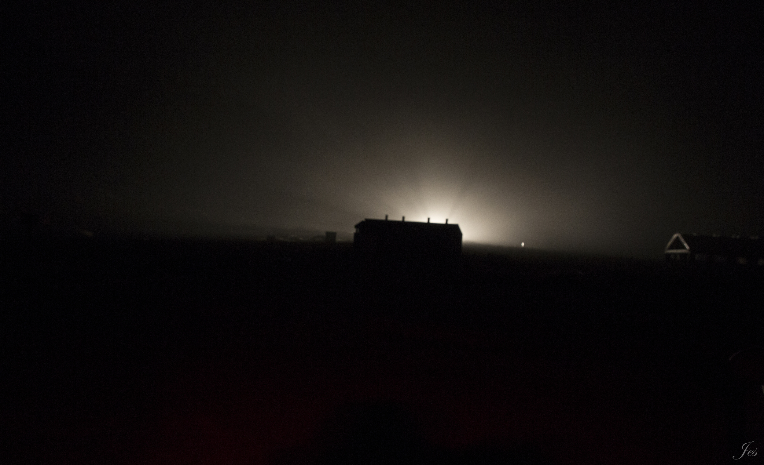
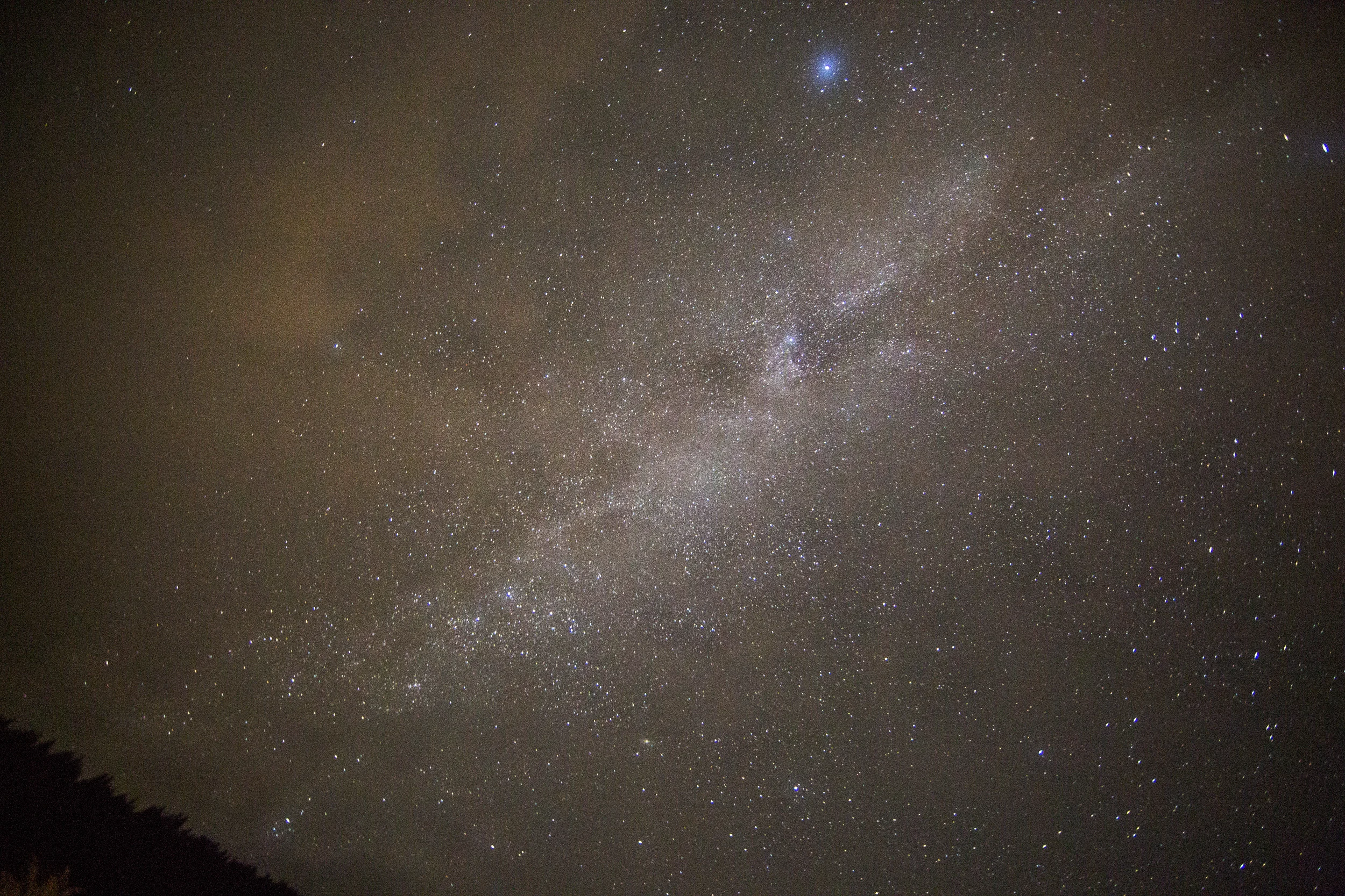
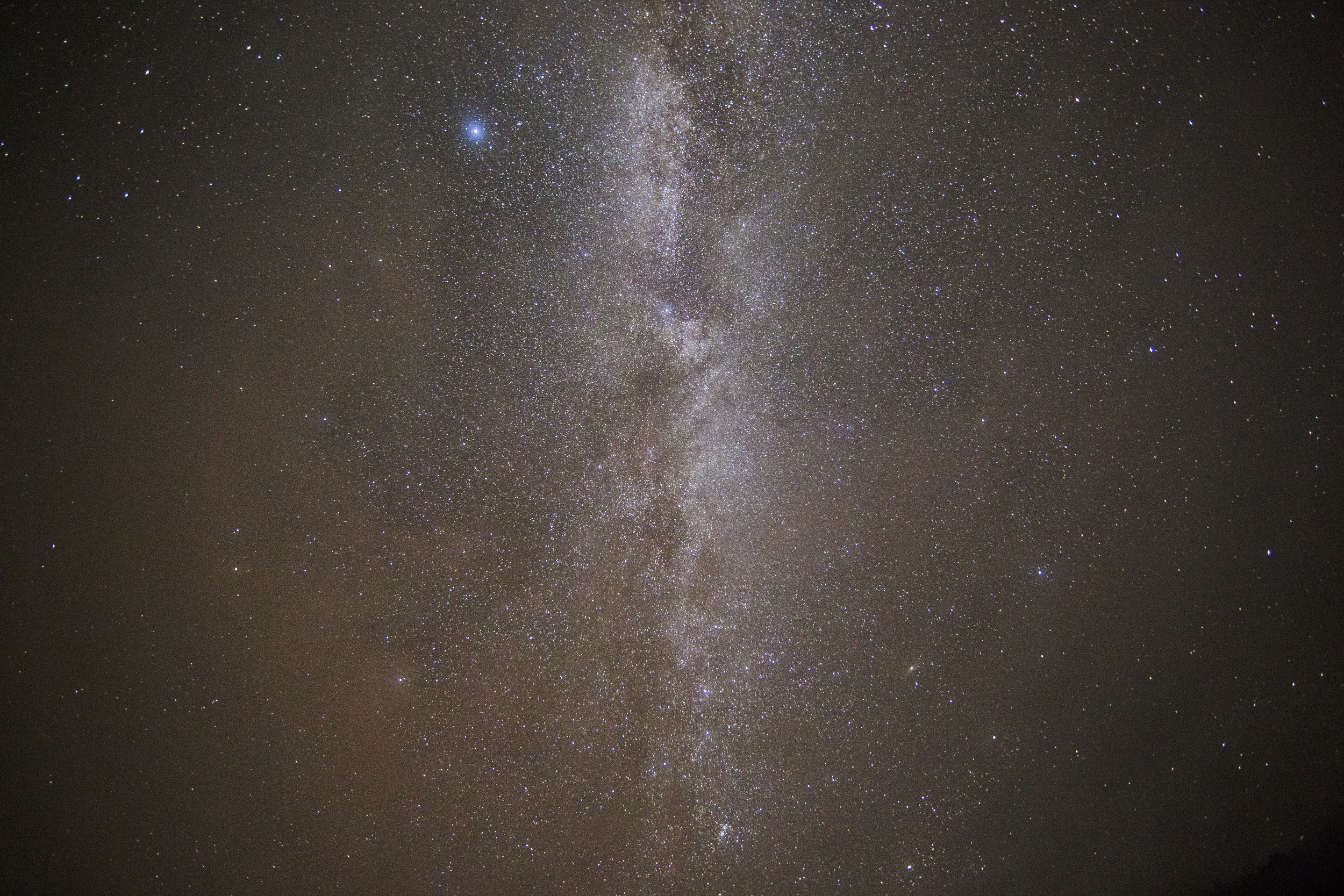
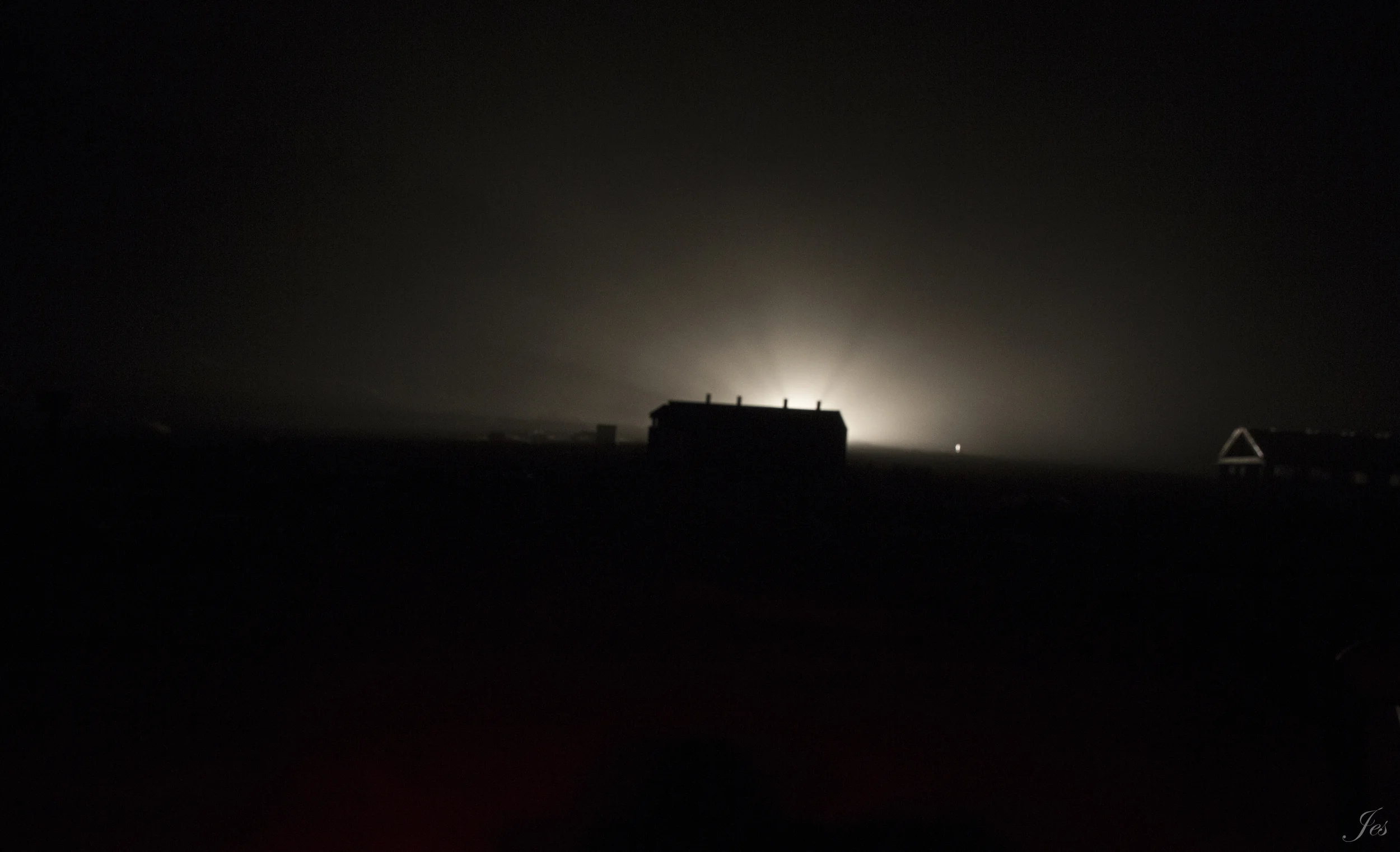
Since this area has very little light pollution, we decided that we should go see the stars! We drove all the way to the beach next to US-101 because we thought it would be a good spot to see the stars without all the tall trees blocking the sky. Unfortunately, it was SUPER FOGGY!!! You can see from the photo below, the one with light behind a house, it was just too foggy right next to the ocean. So, we decided to find another flat spot that is further away from the ocean on US-101, and as you can see from the picture below, we saw the milky way!!! OMG!!! SO PRETTY!!! (We have been to Bryce and Arches, and because of the altitude and even less light pollution, the stars were even crazier! But I forgot my tripod at the time..... bummer...) This is my first ever star photo!! (It wasn't very good.... but practice makes perfect, right?) I was hoping to get a picture with some trees or something for the background, but there is nothing around the place we took the picture...... Anyways, I will go back to the Arches one day!
On the way back, instead of taking the US-101 S all the way, we made a detour to another scenic drive "the avenue of the giants", the longest stretch of remaining virgin redwoods in the world. It is parallel to the US-101, so it is not exactly extra miles that we need to drive, just taking a different route. There are a couple spots you can stop by, like the Drury-Chaney Loop Trail we did, it is a nice short 2.5-mile-loop trail. There is also the Drive-Thru Tree that you can go to. It is a $6 entrance fee, and you literally drive your car through a big tree.
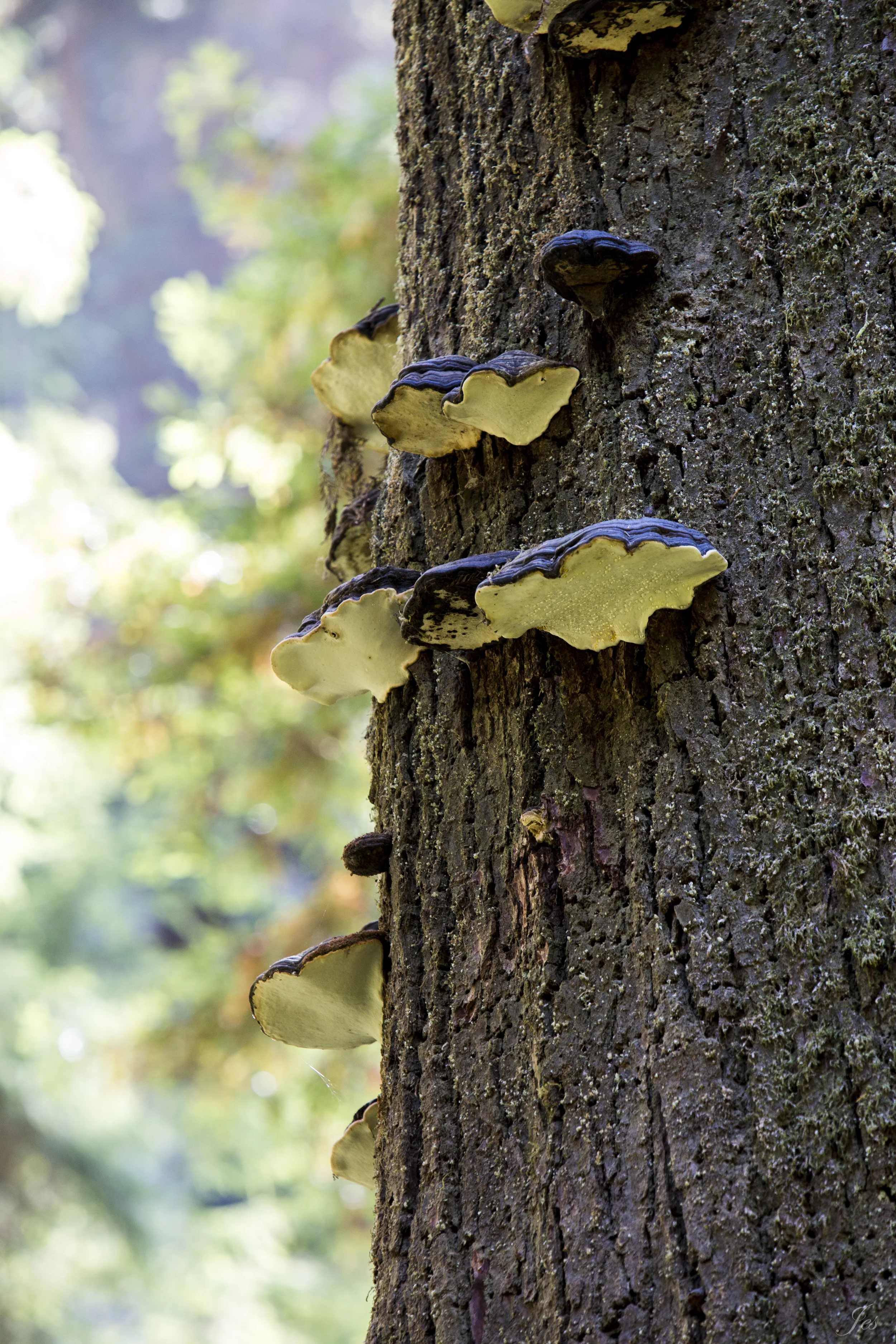
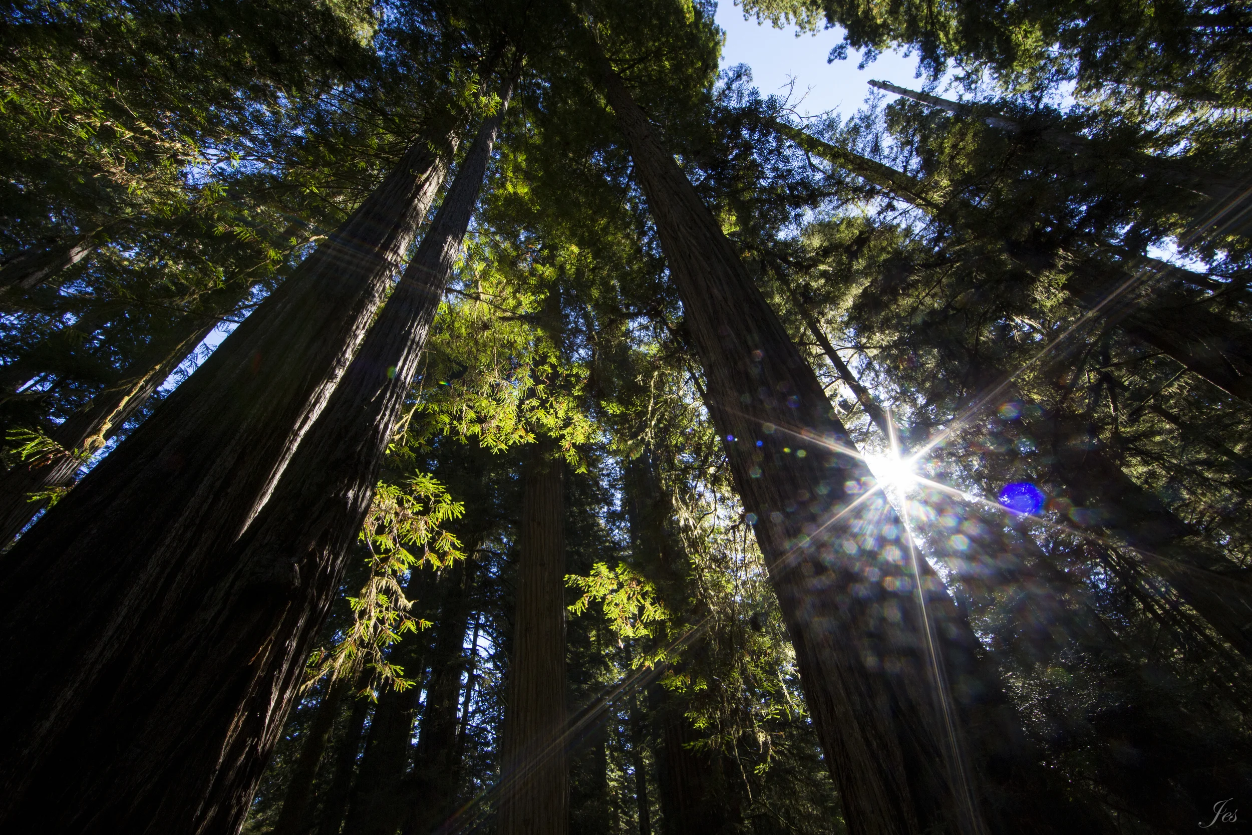
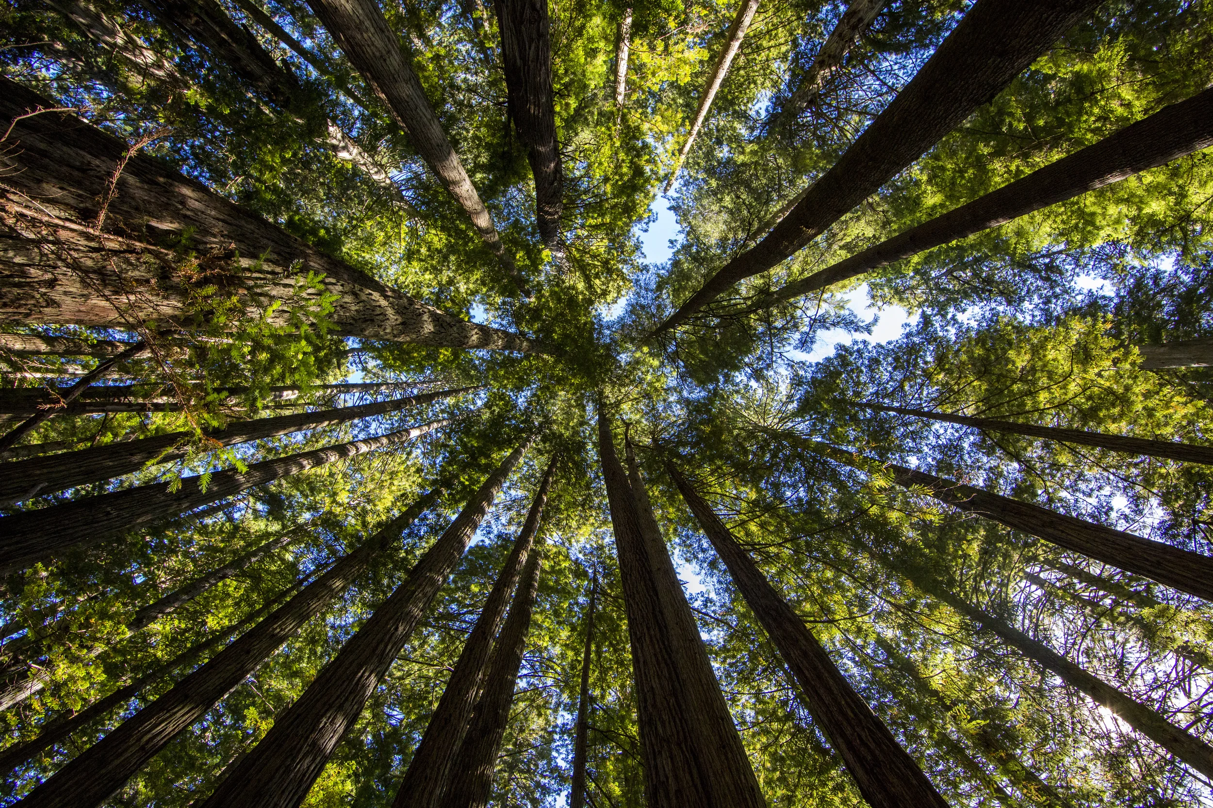
These trees are just magnificent!!! After hundreds and thousands of years, they still stand! There were earthquakes, fires (You can see fire scars on some of the trees, but they are still alive!), and God knows what else have they been through, but they are so resilient! (Until humans cut them down :/ What we see now is only 5% of the original) The largest sequoia is actually in the Sequoia National Park a couple hours south, called the General Sherman. It is 87 meters tall (286 feet) with a circumference of 34 meters (113 feet), and its estimated age is 1800-2700 years, one of the longest and biggest living organisms on earth. Below are some pictures I took during the trip! Enjoy!