North America - Nature Adventures


Comment

Memorial Weekend - Havasu Falls

T67A4456.jpg

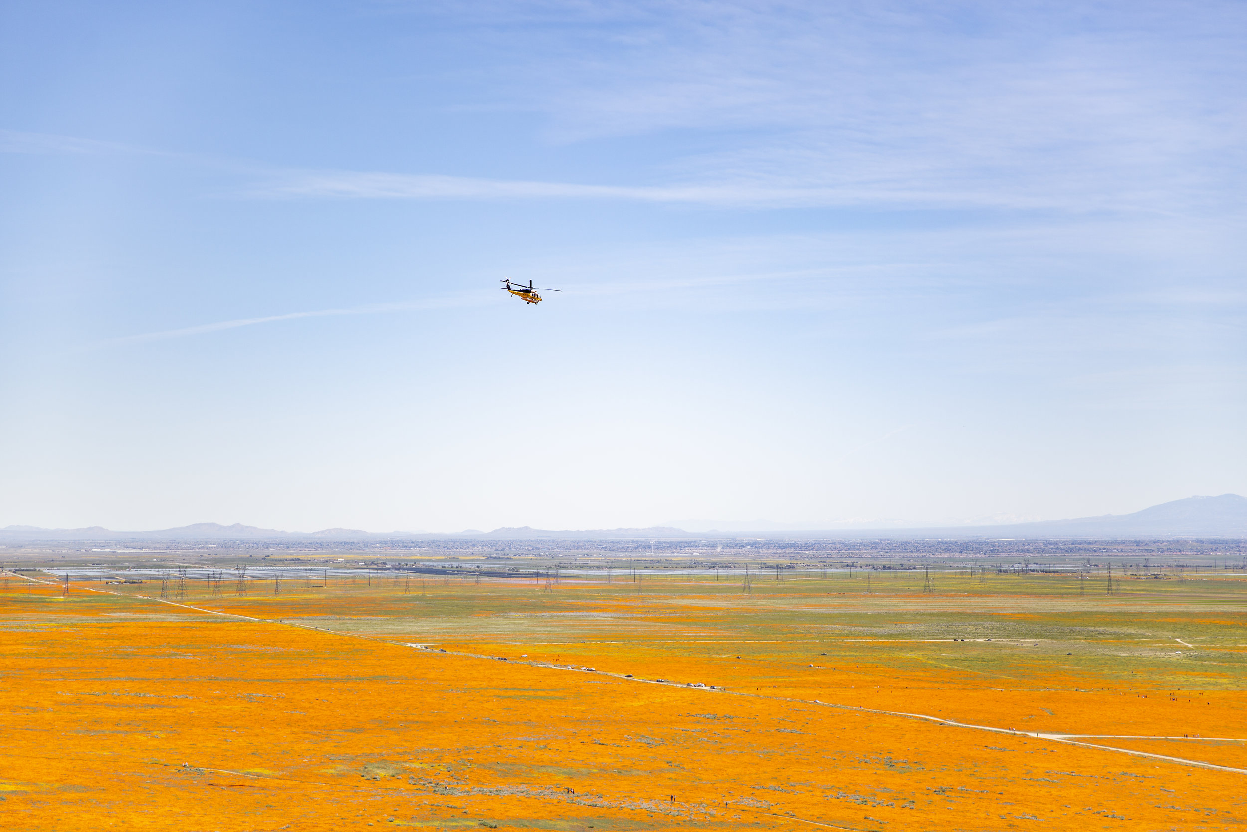
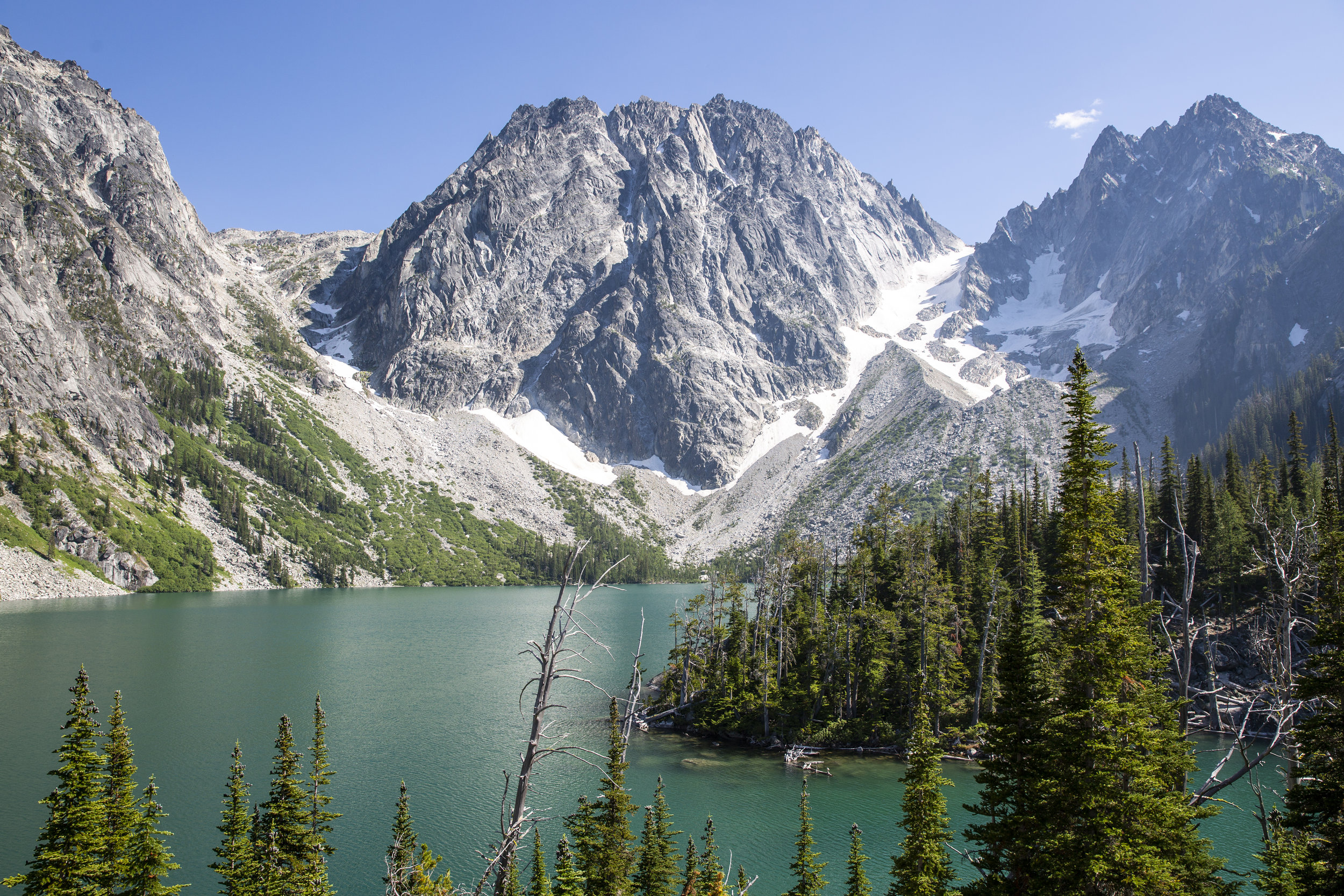
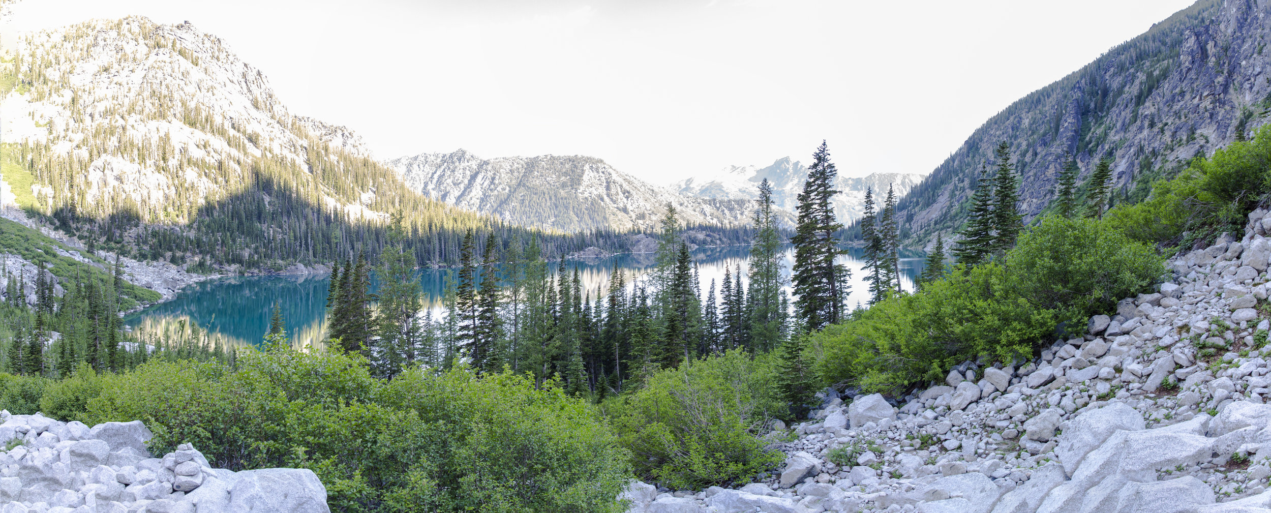
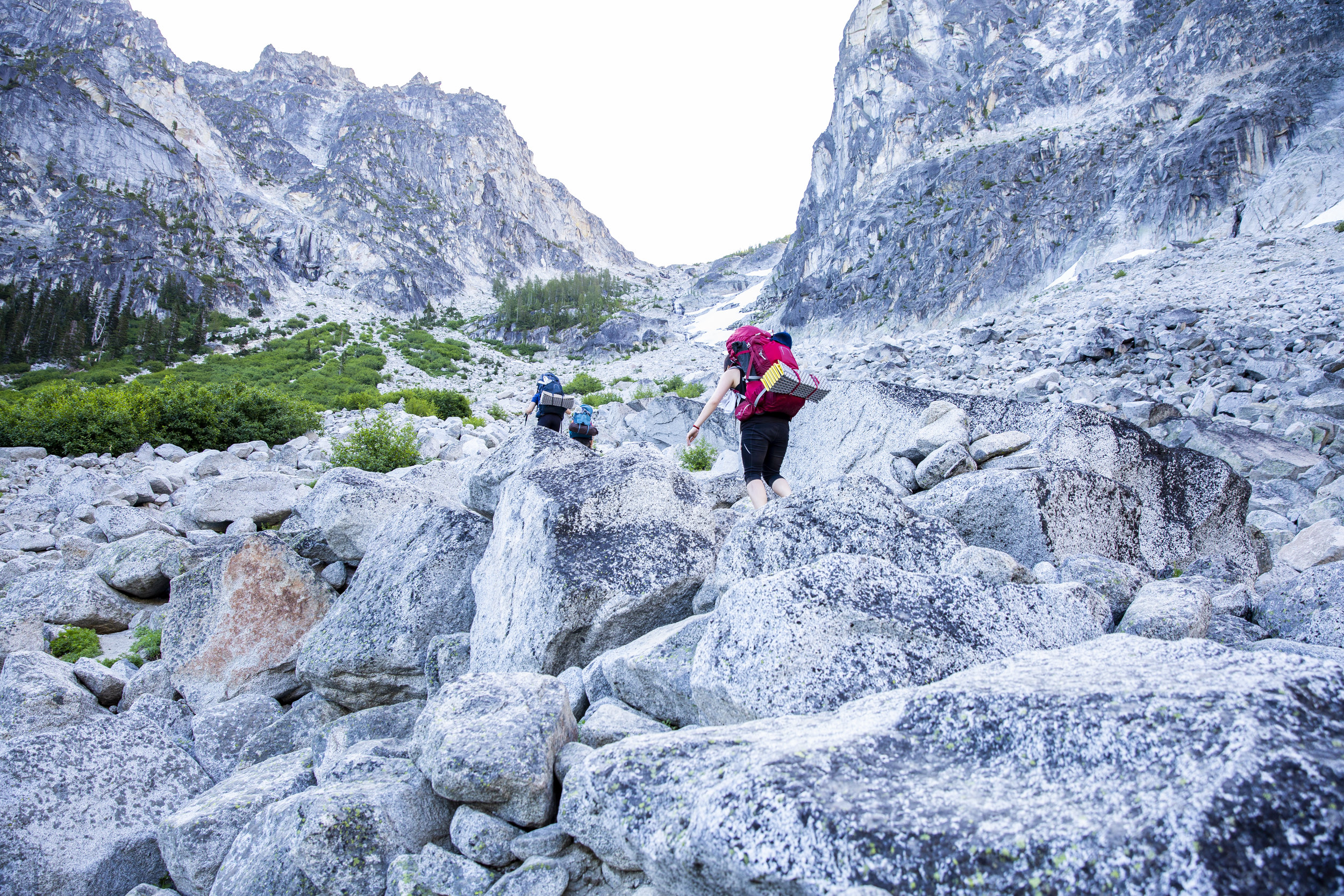
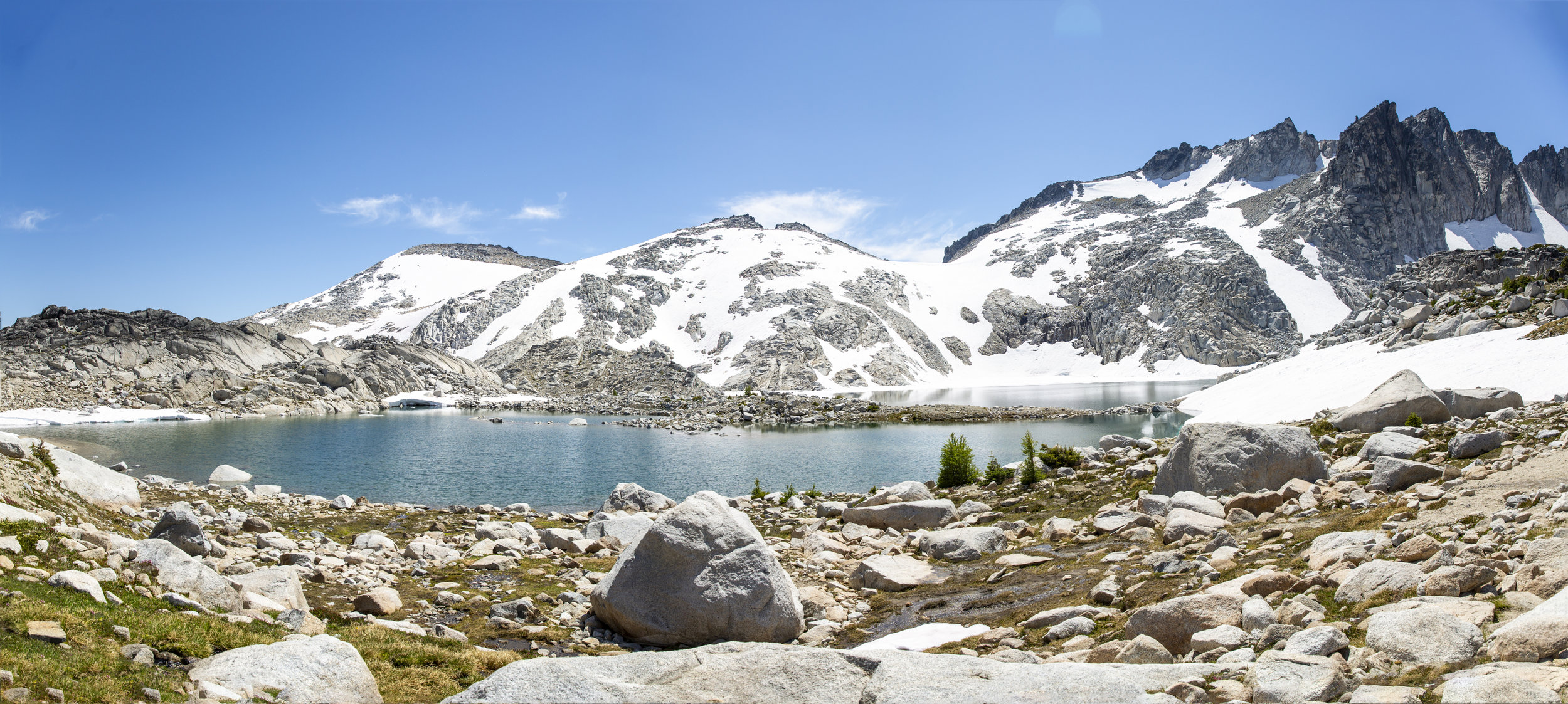
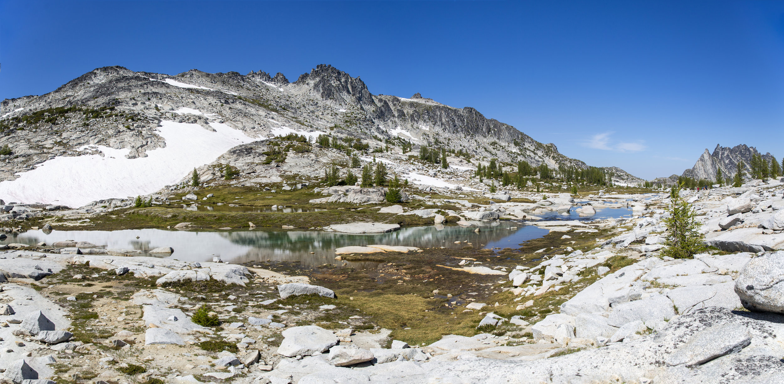
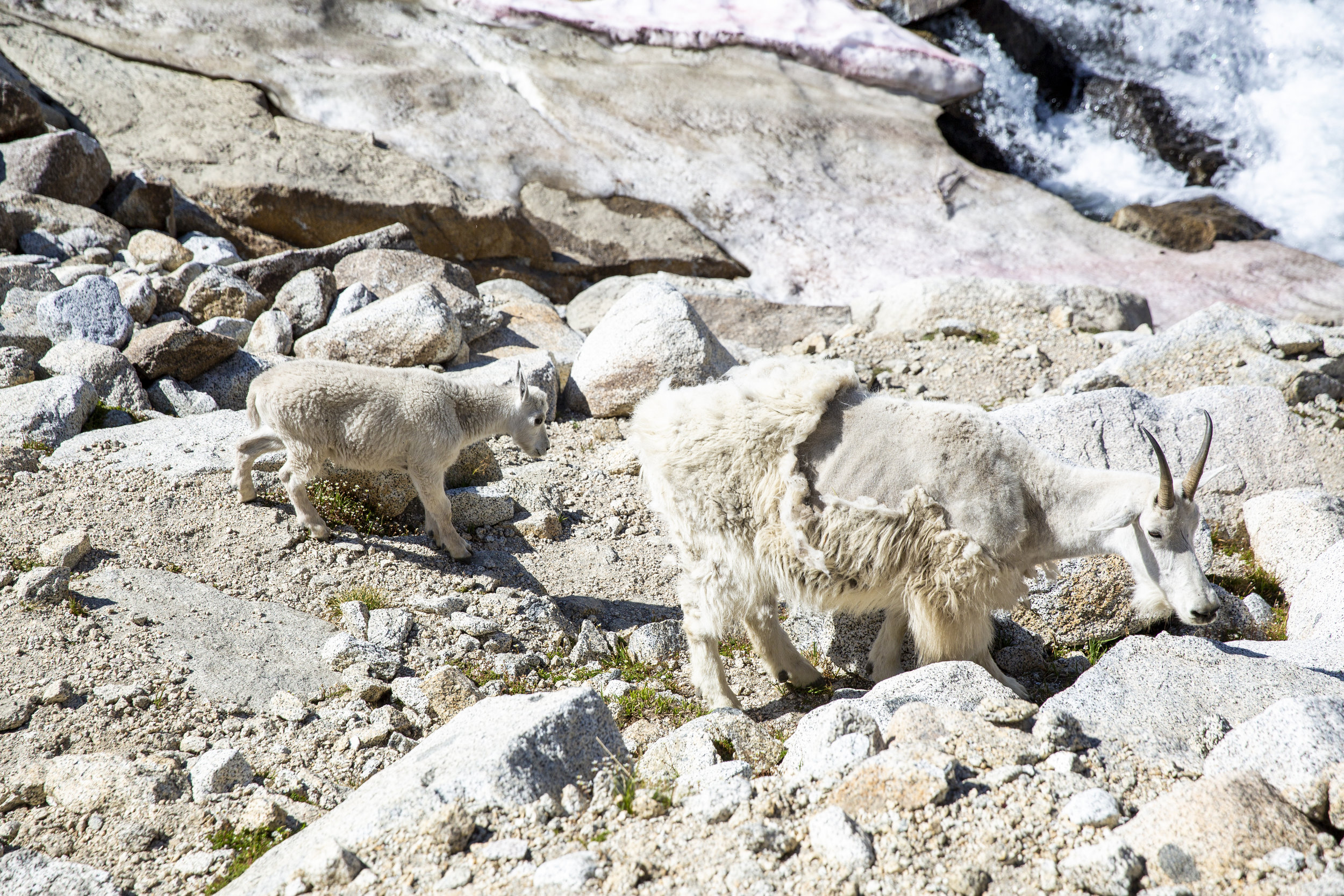
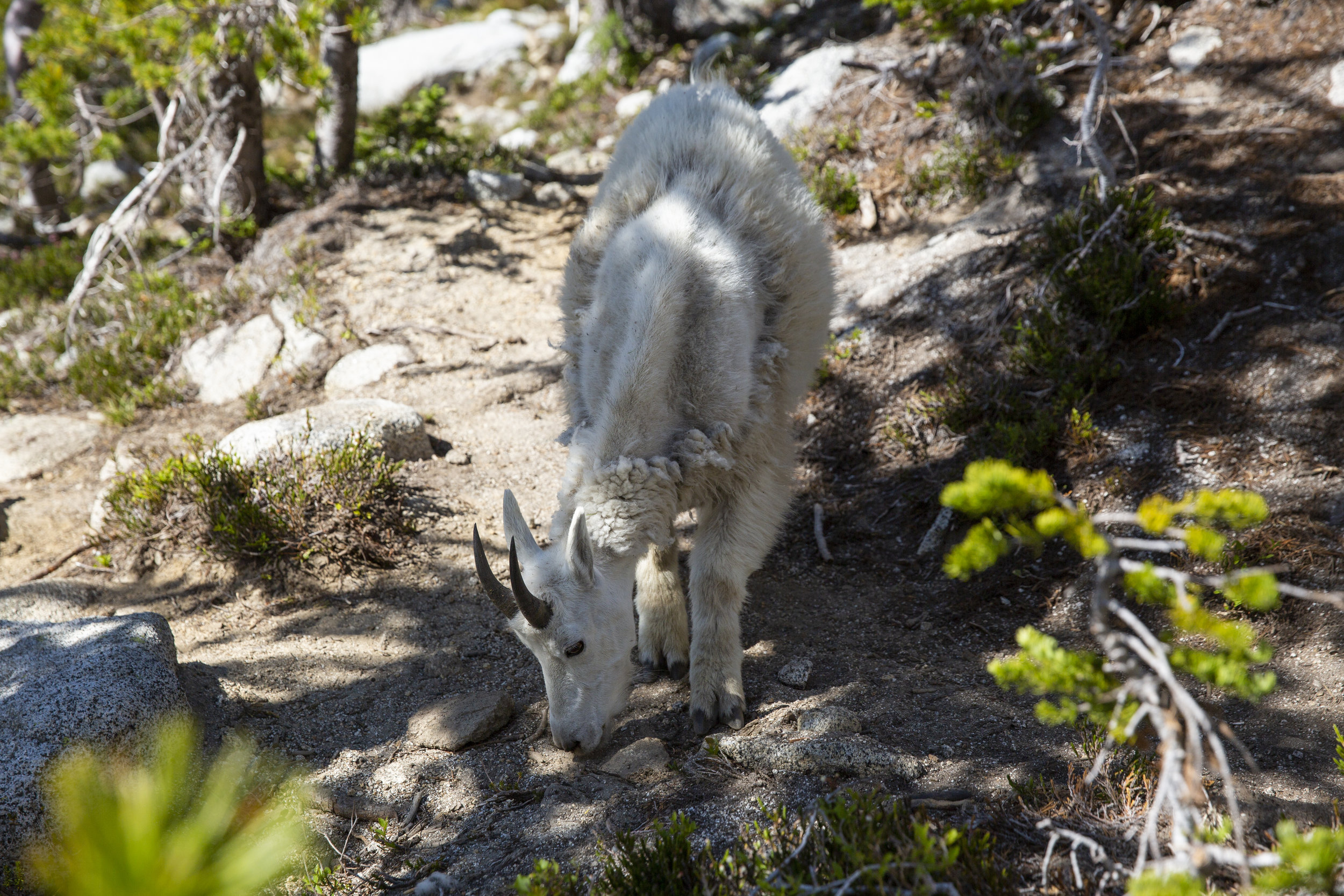
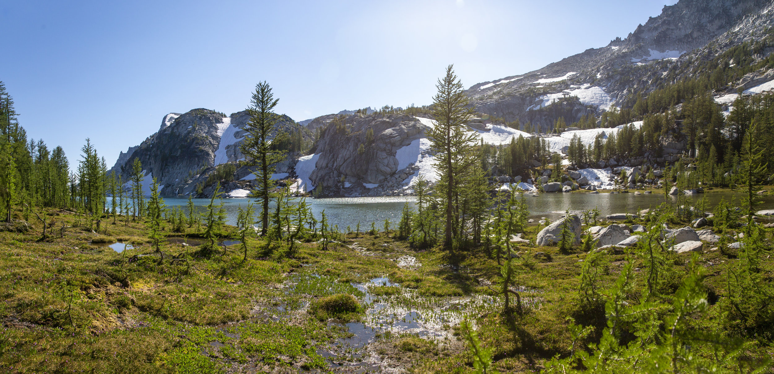
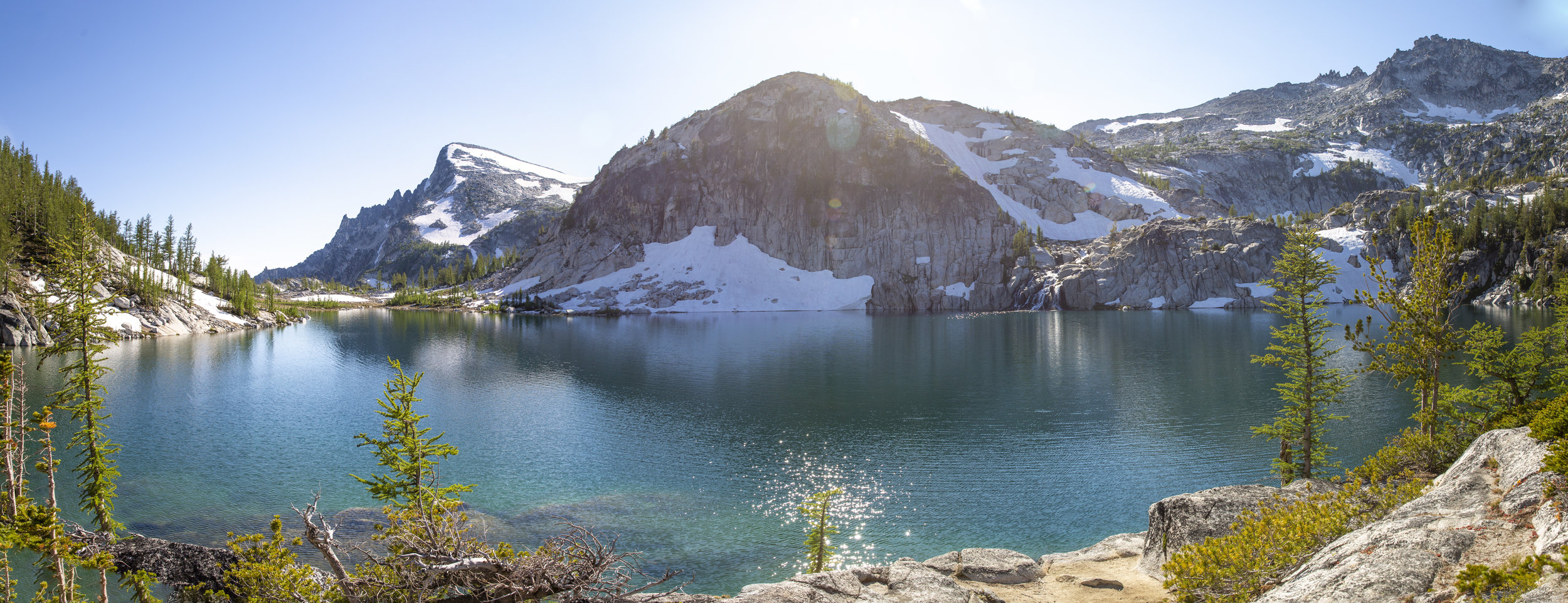
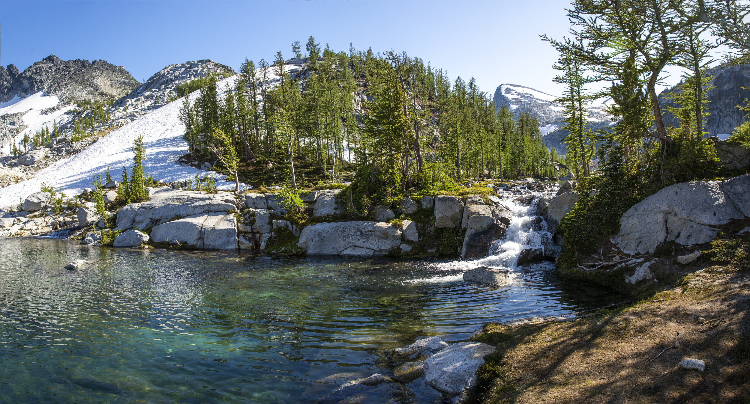
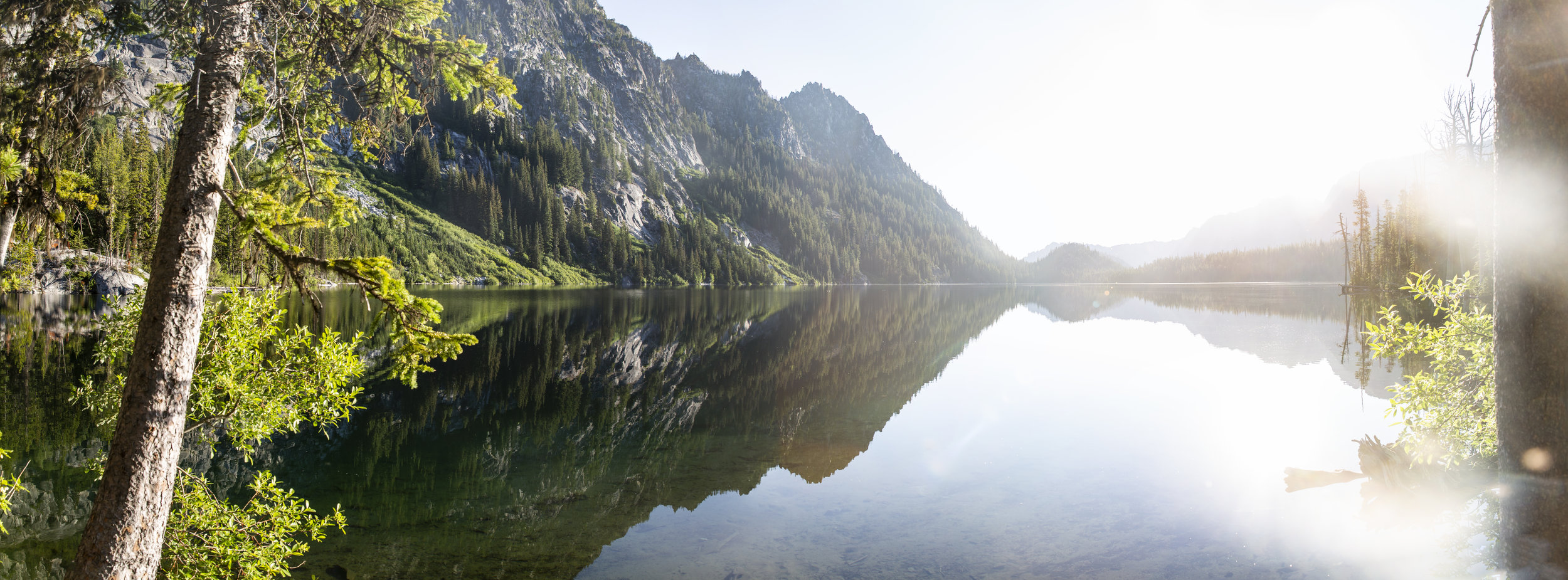
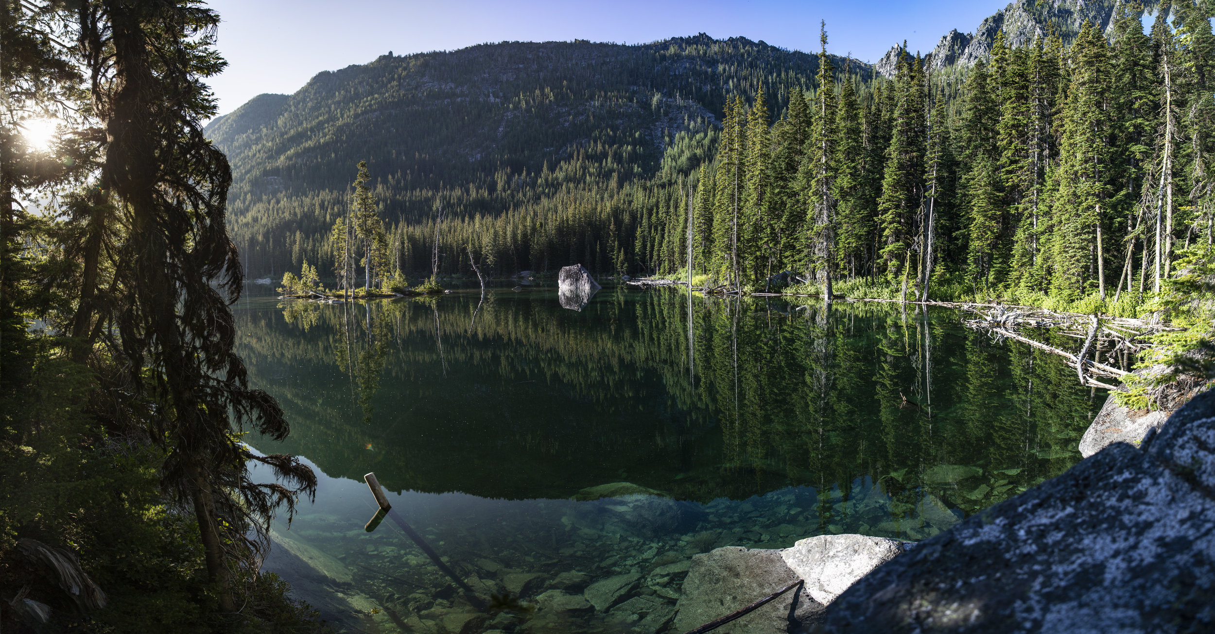
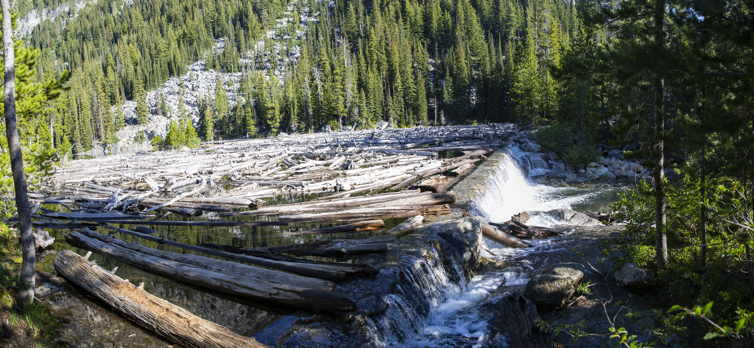
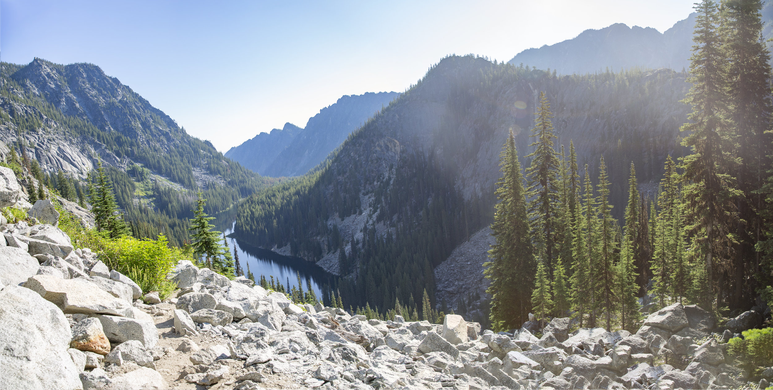
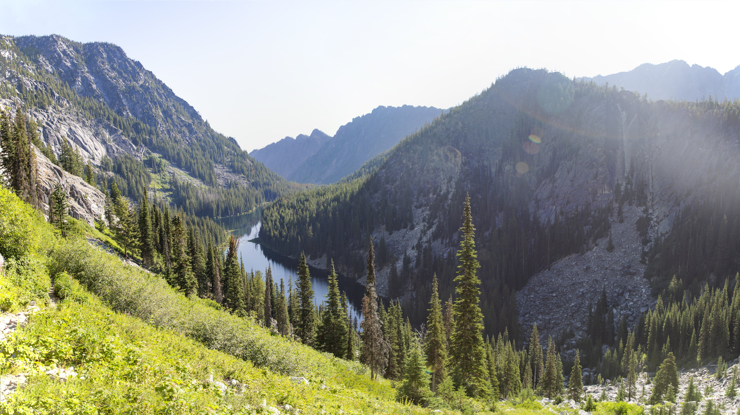
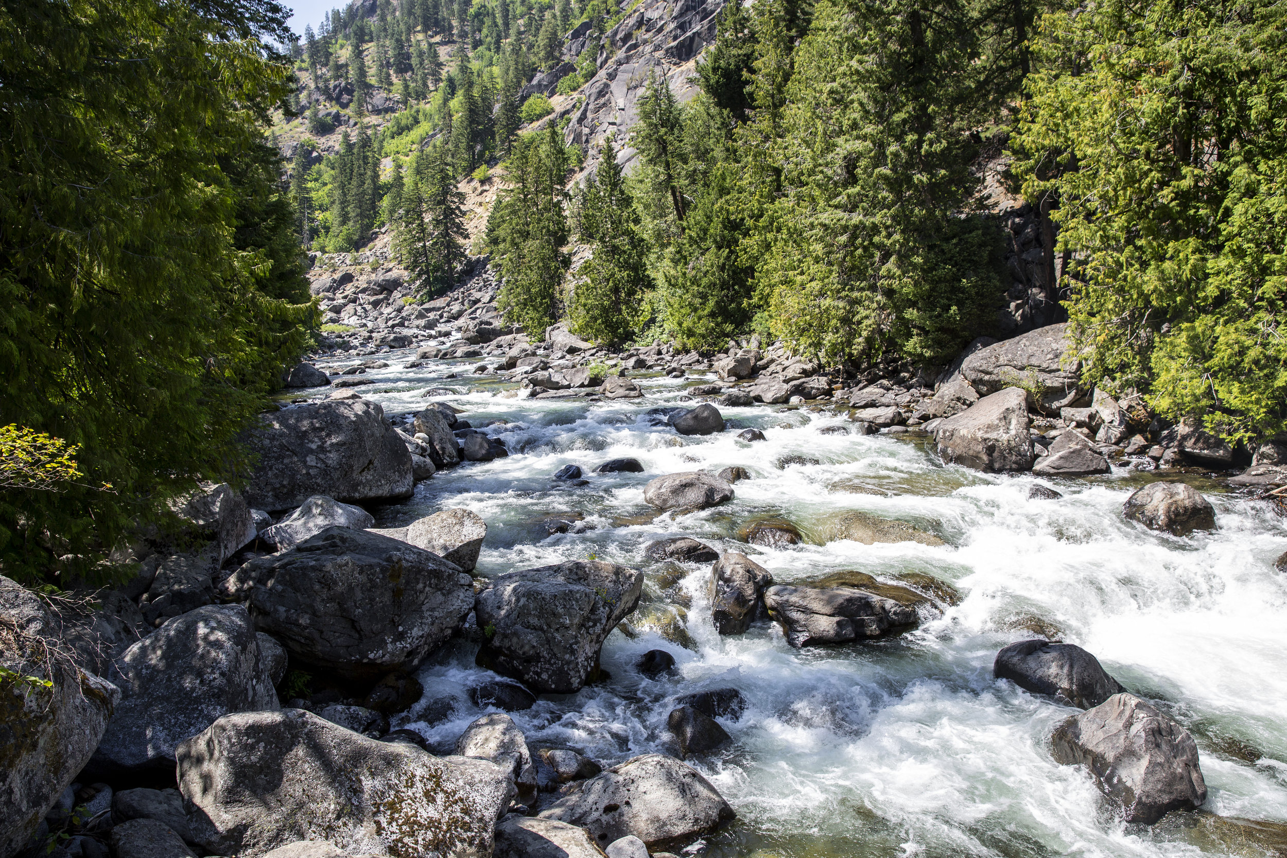
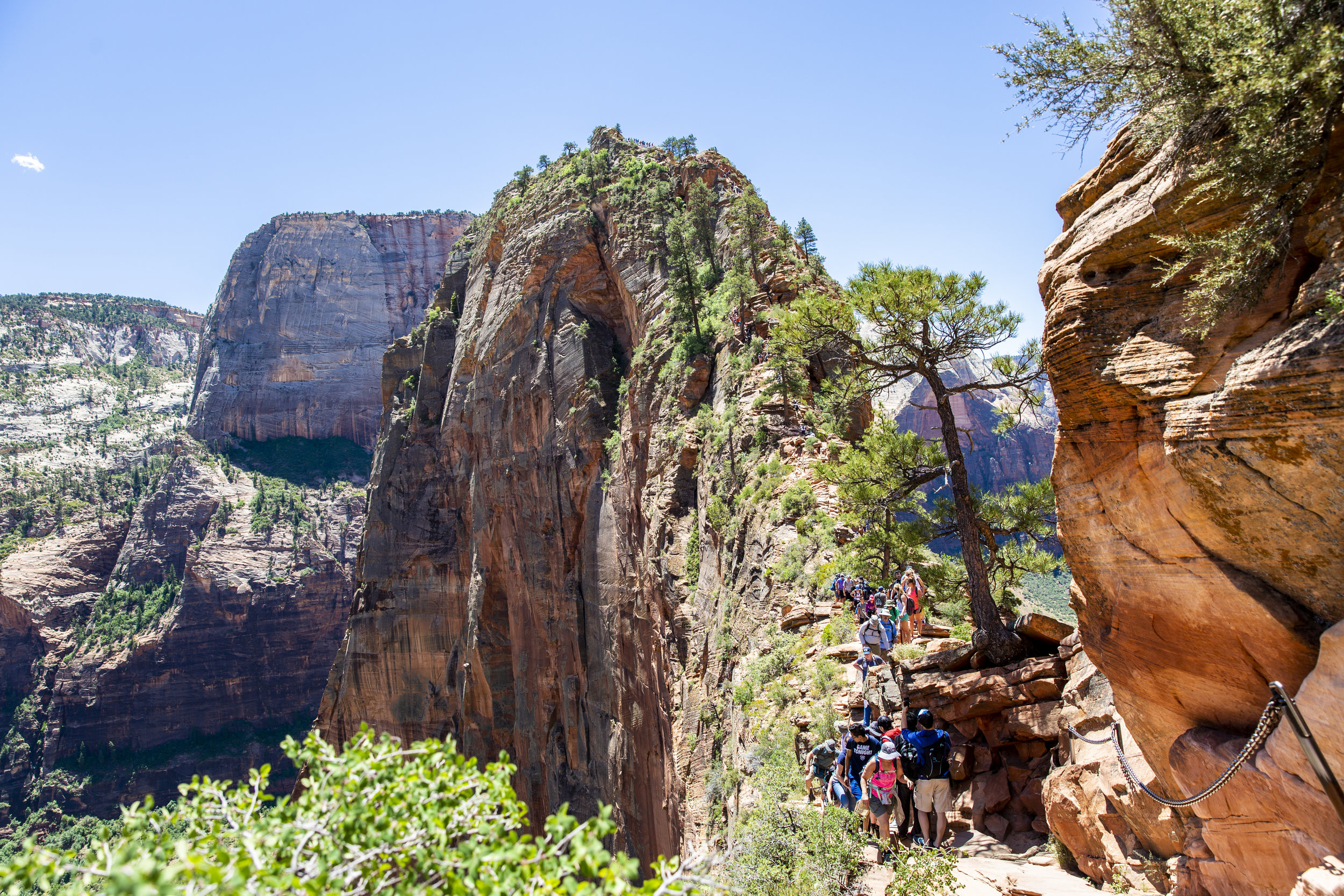
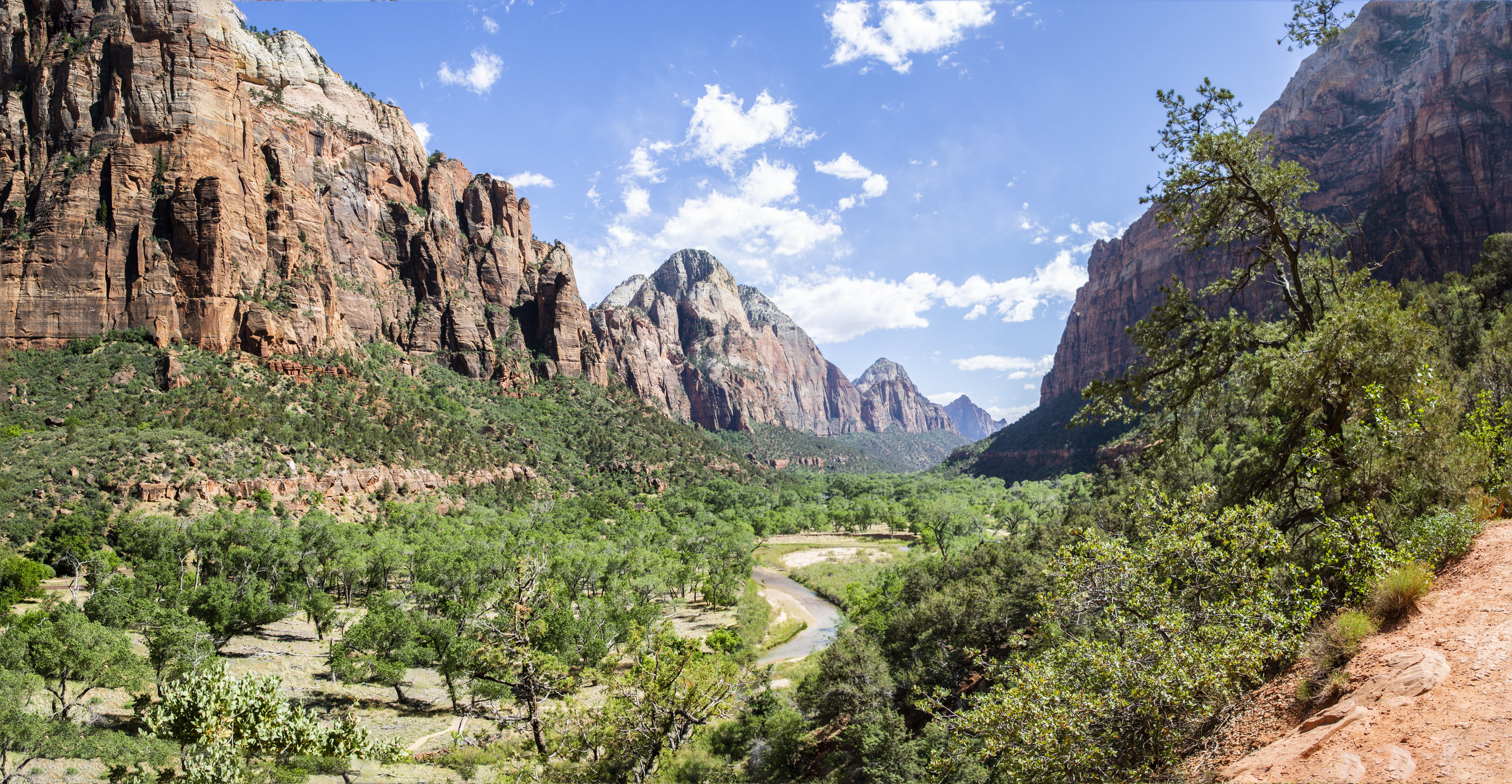
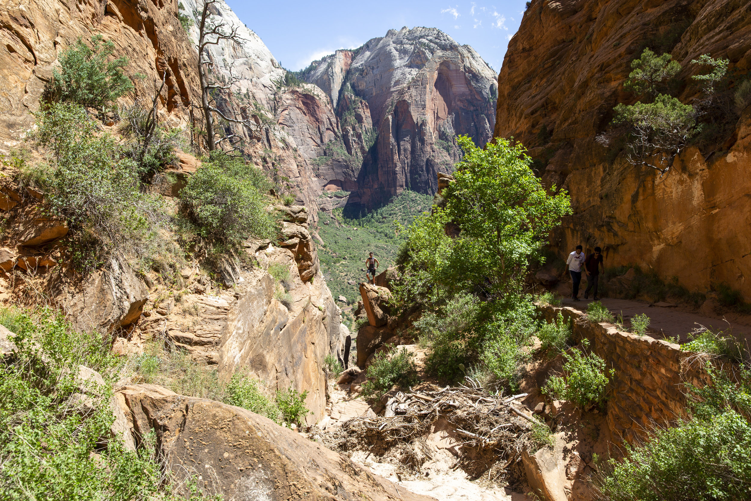
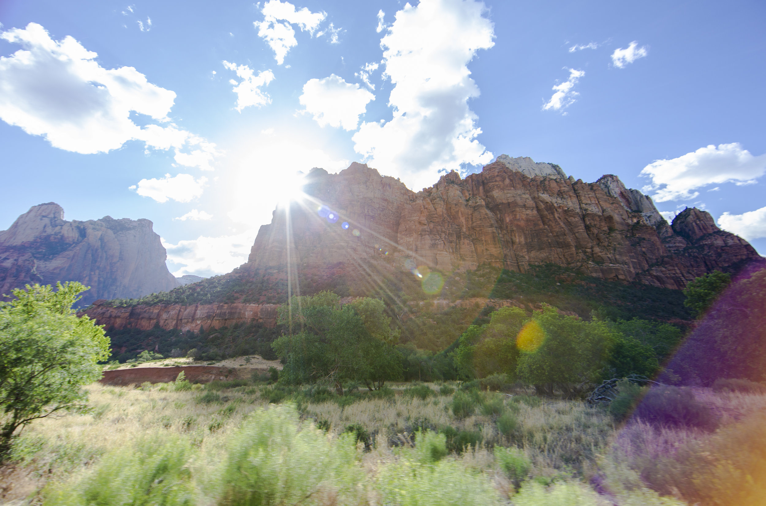
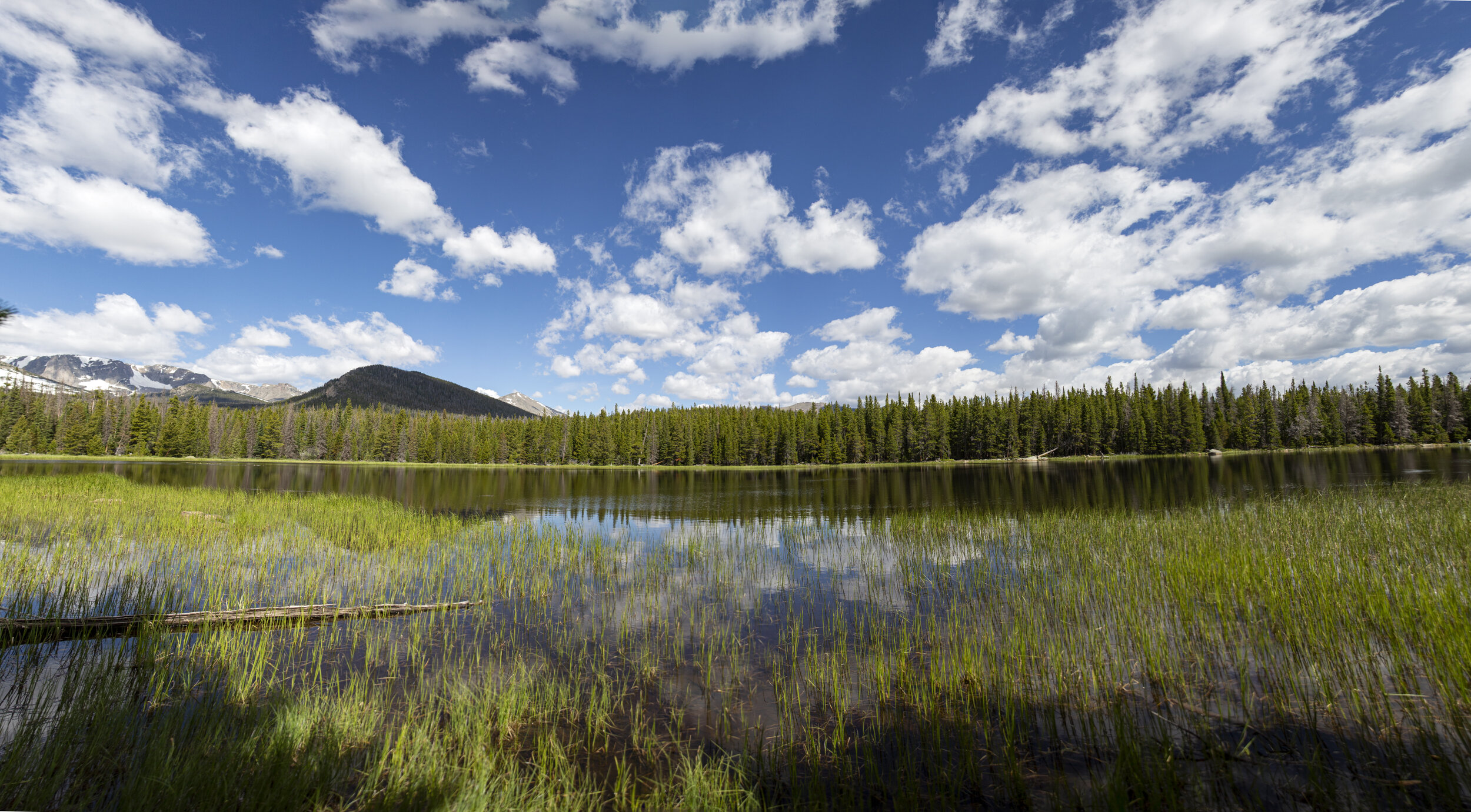
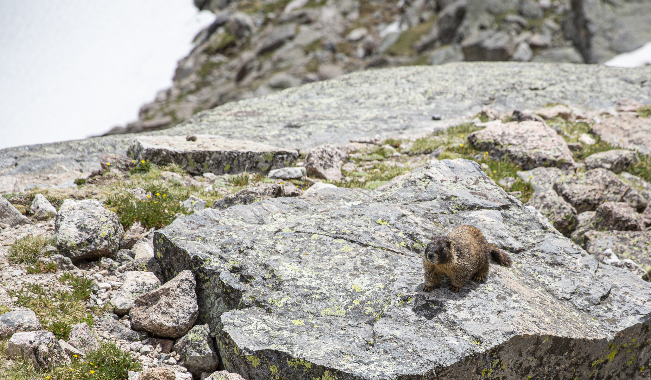
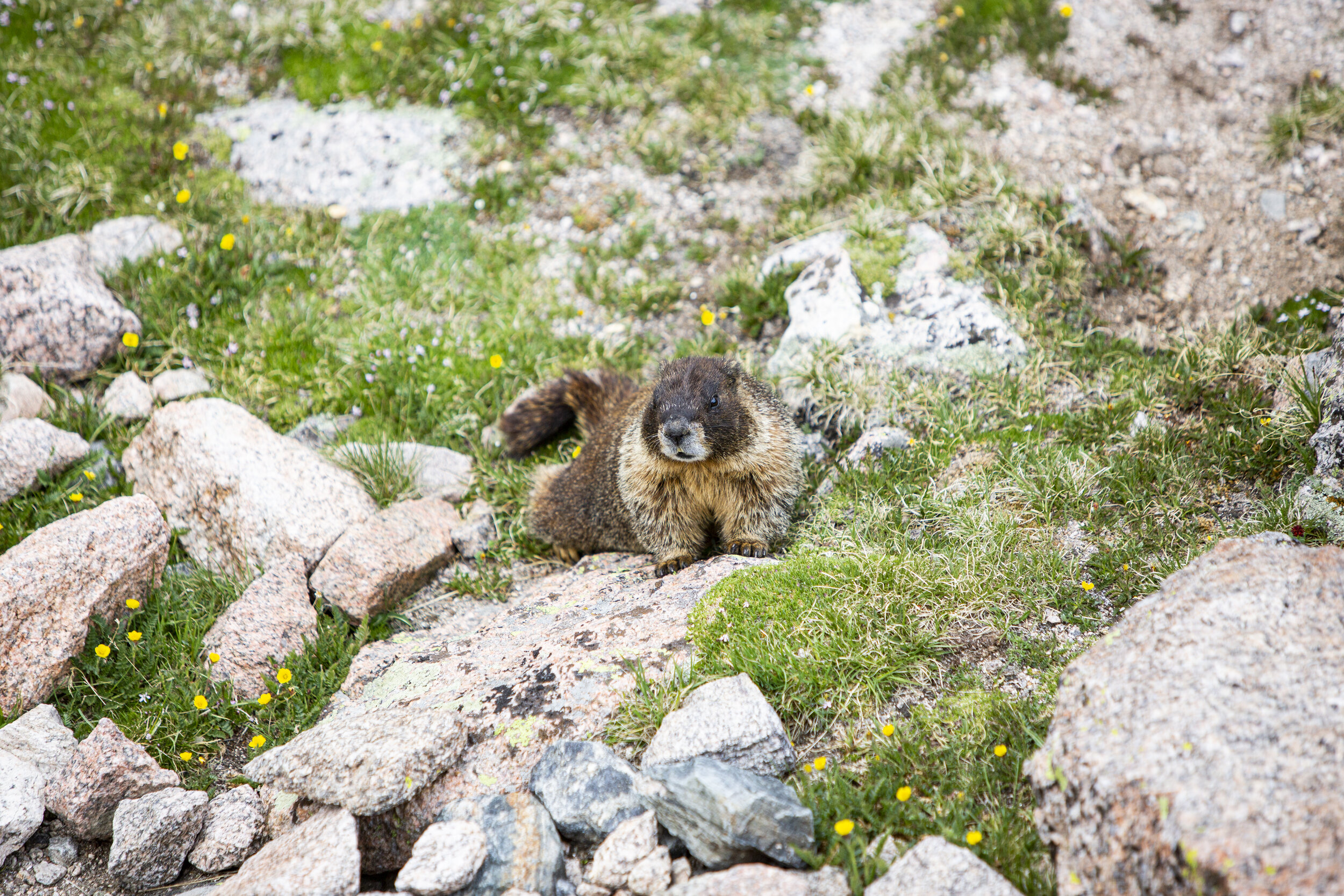
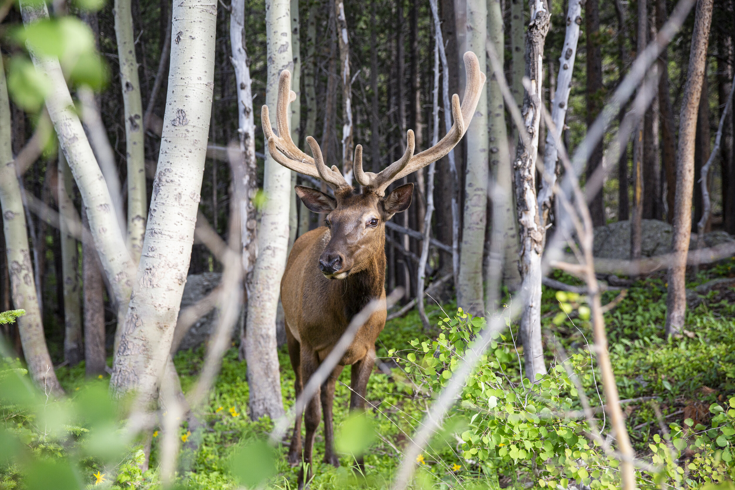
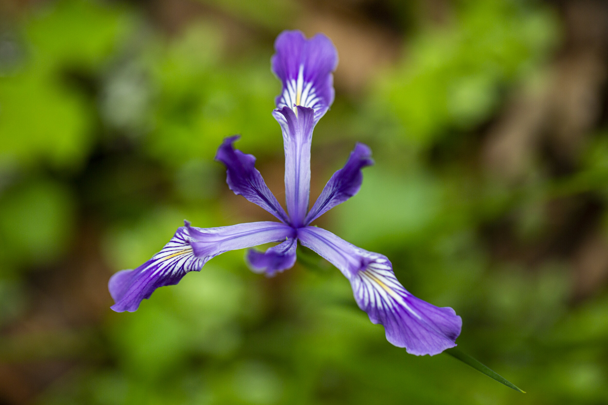
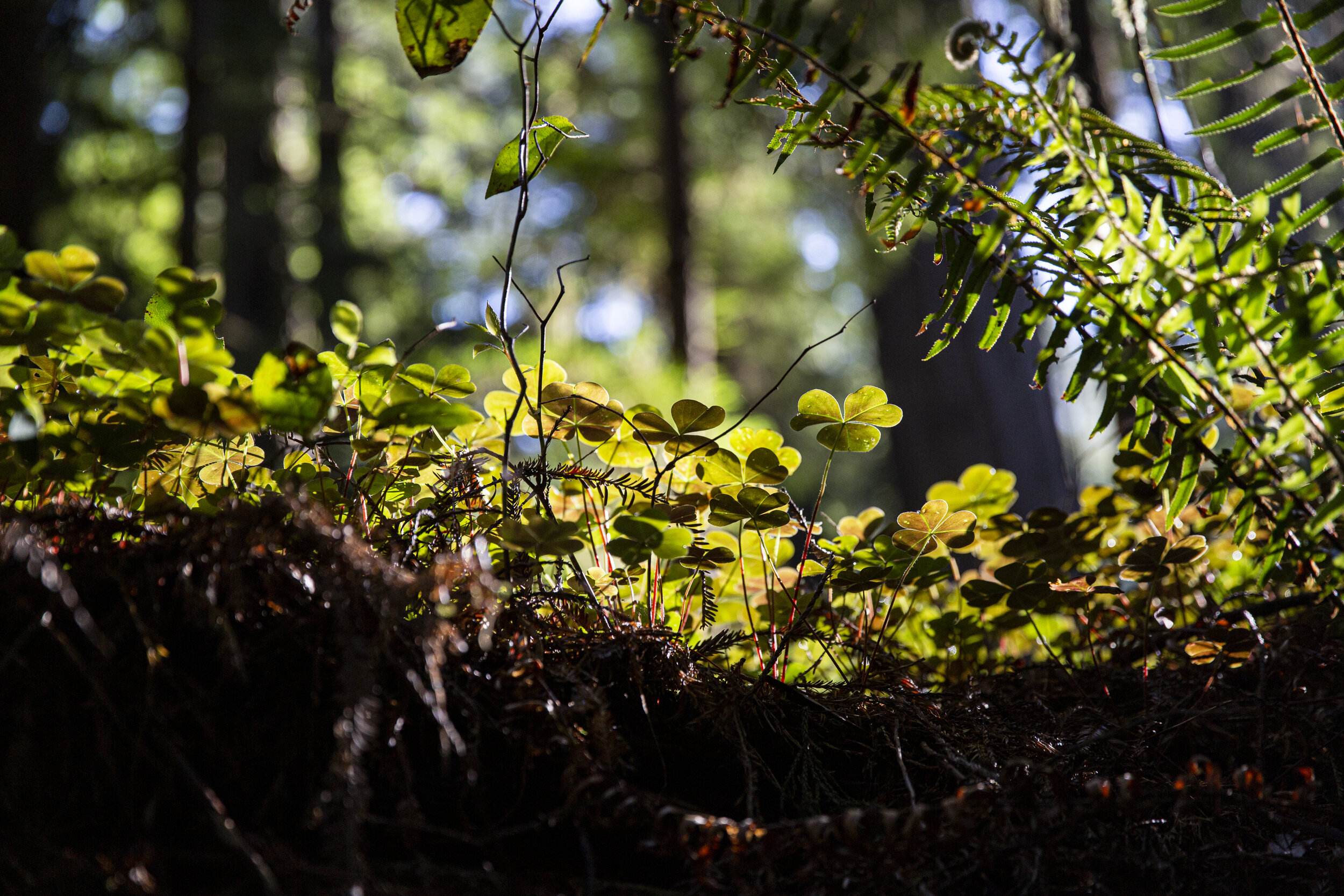
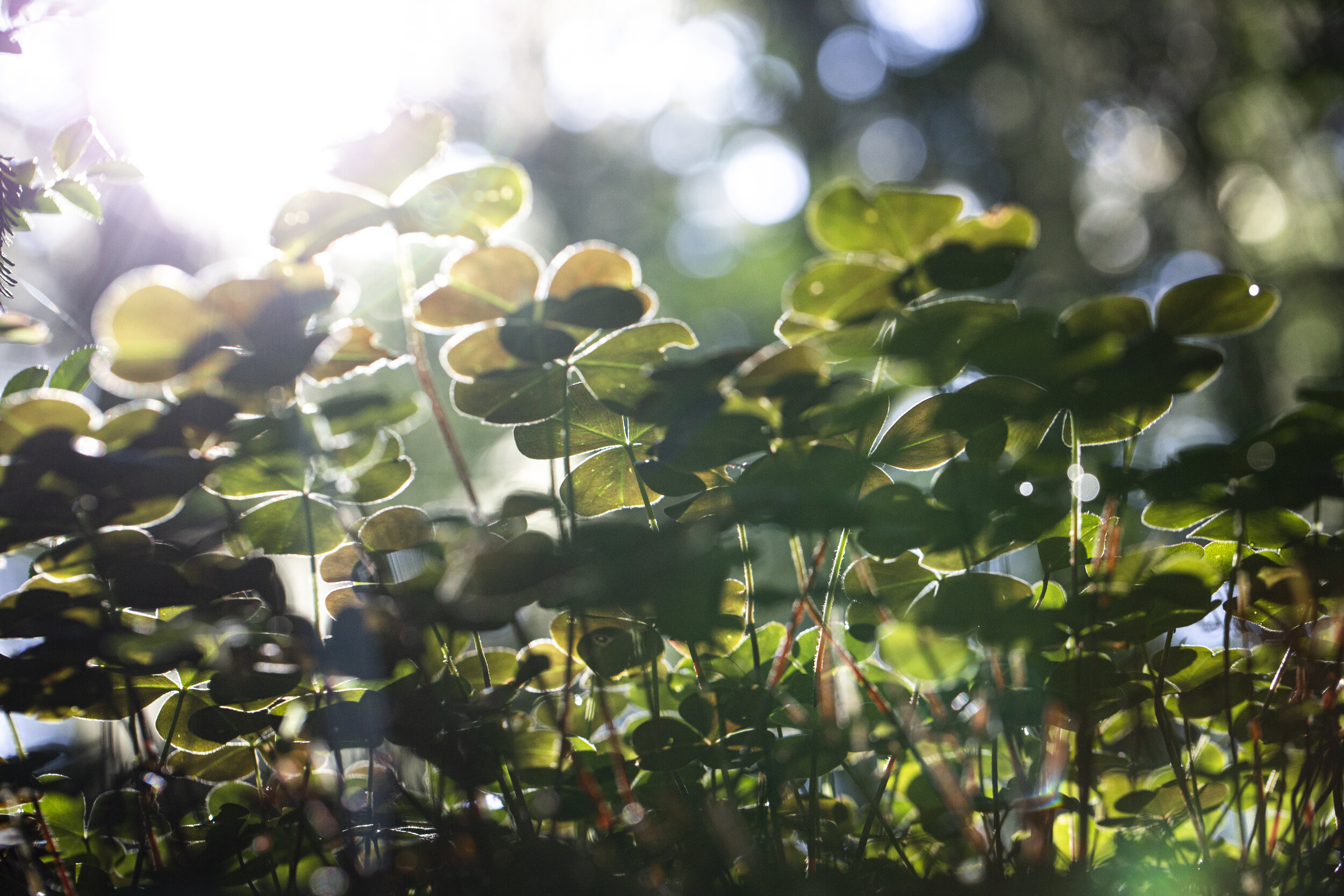
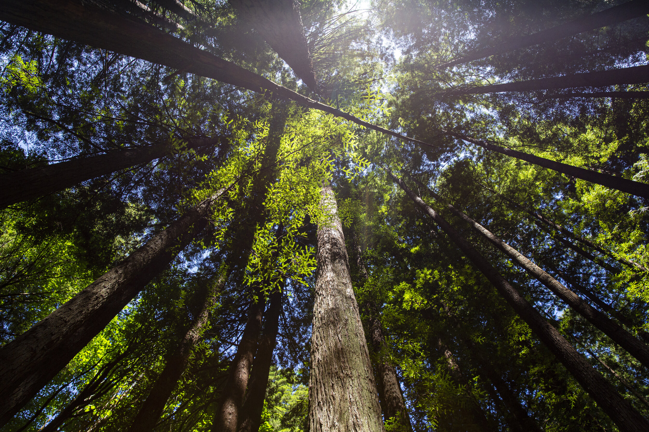
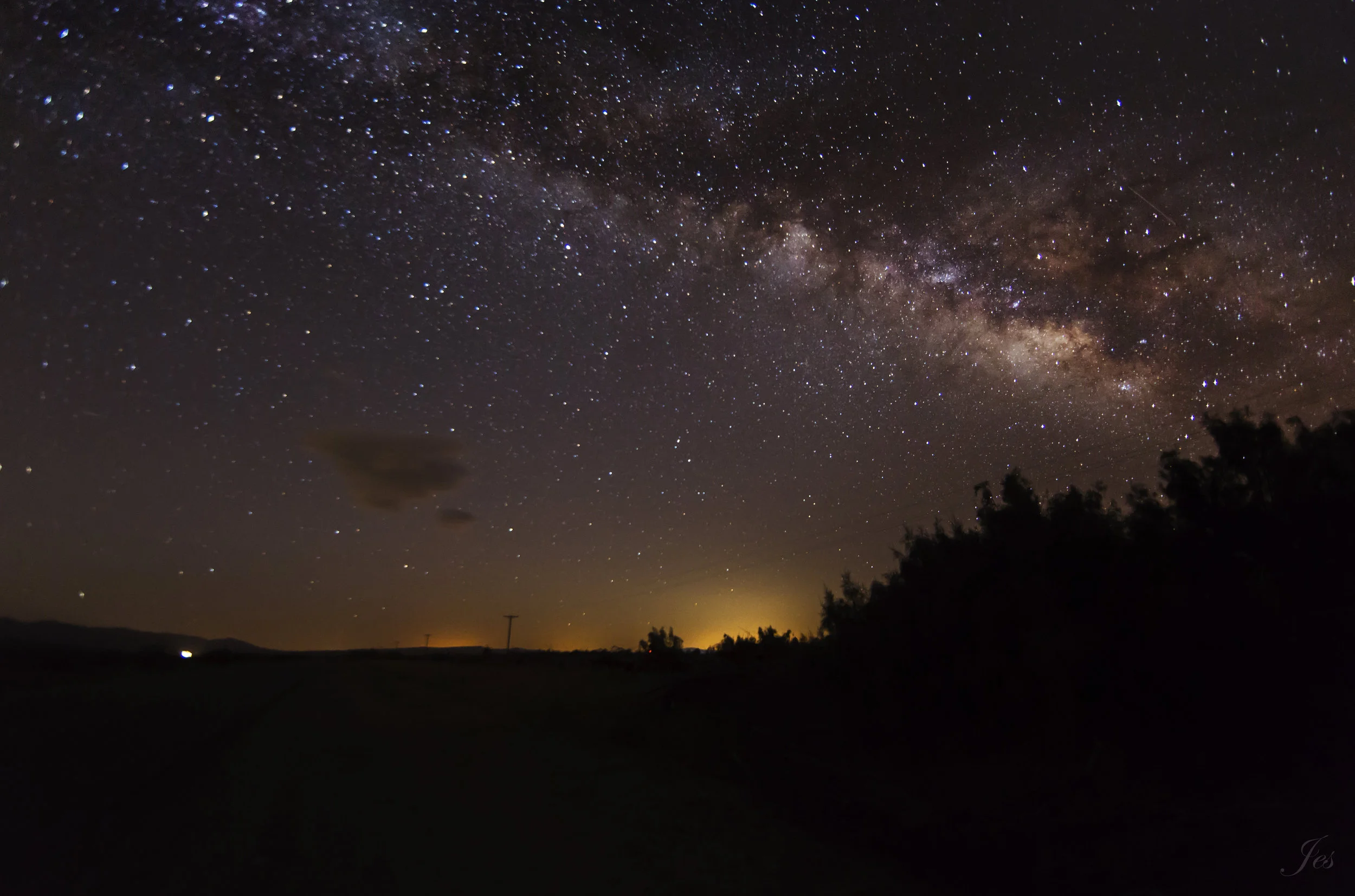
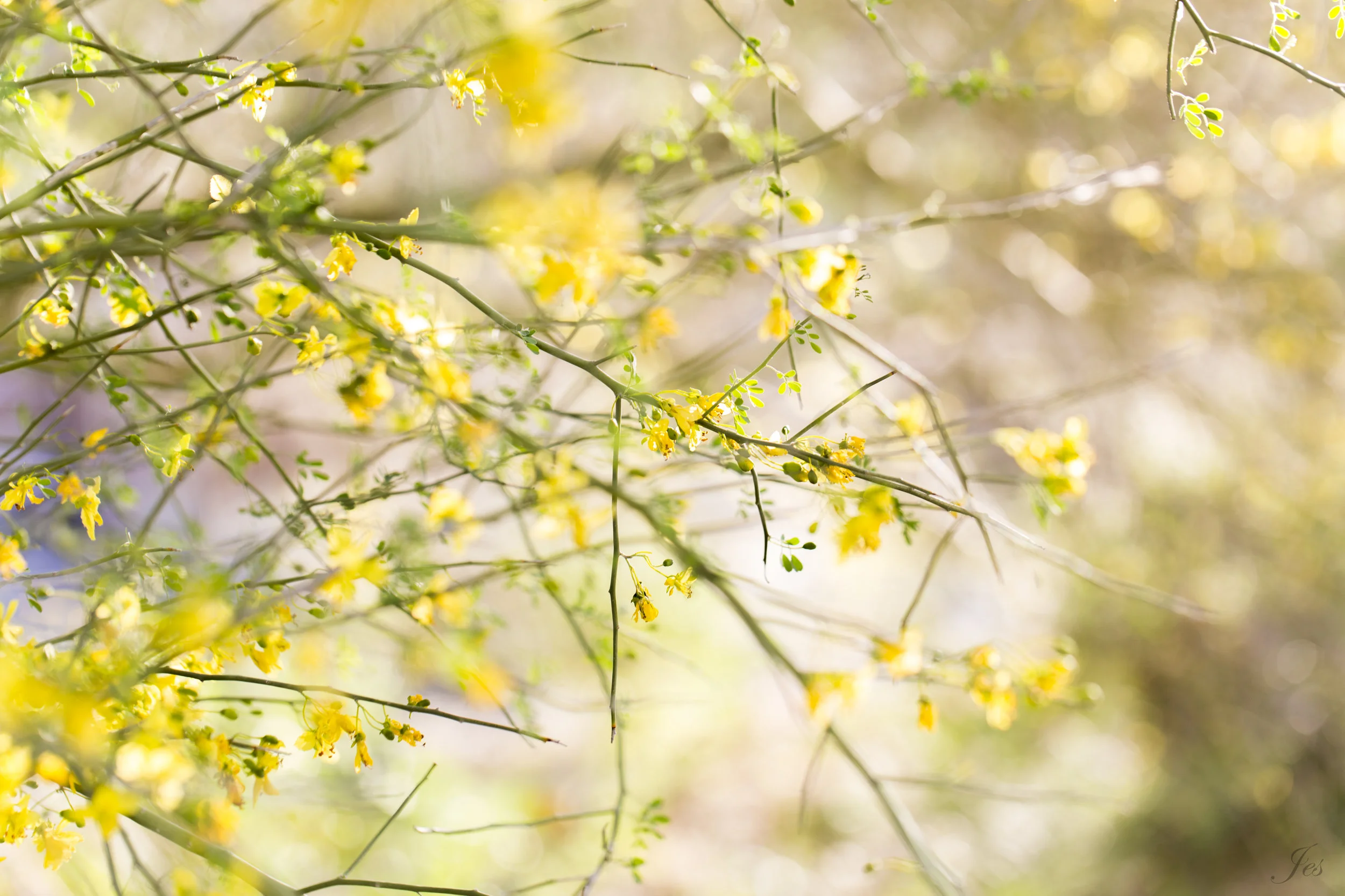
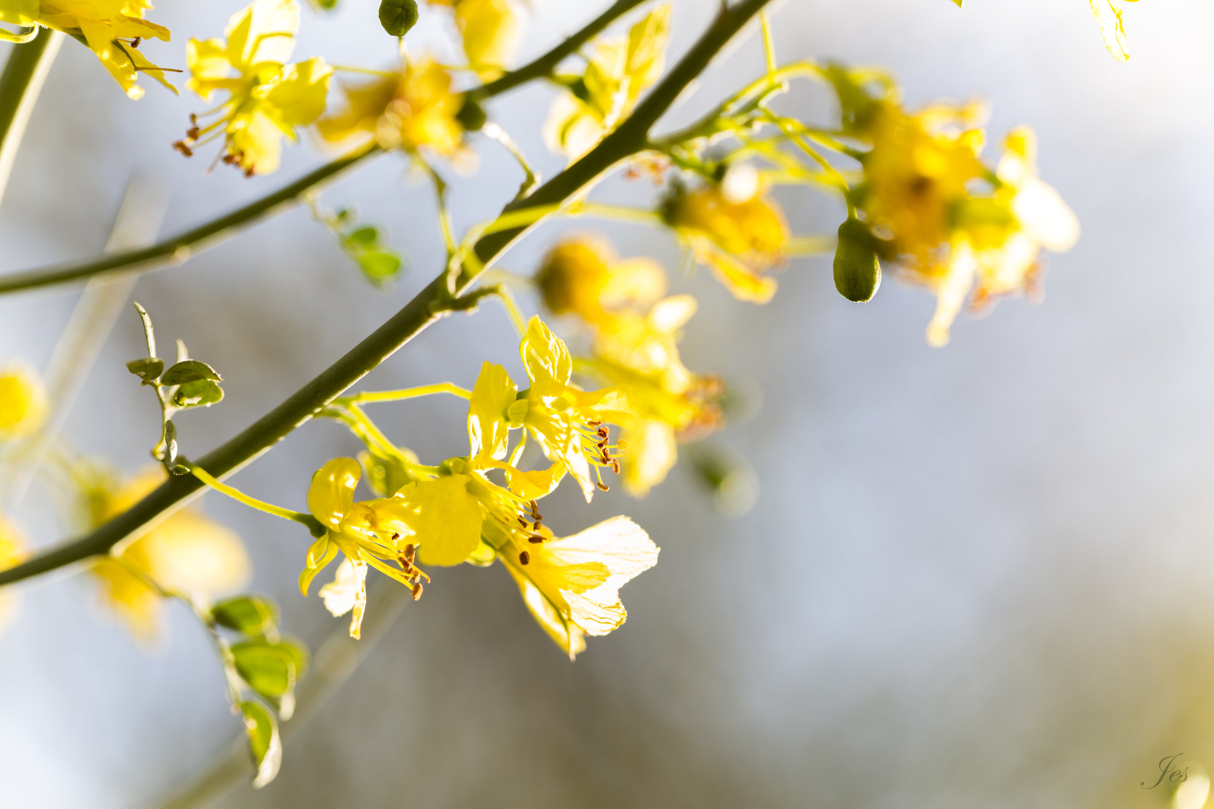
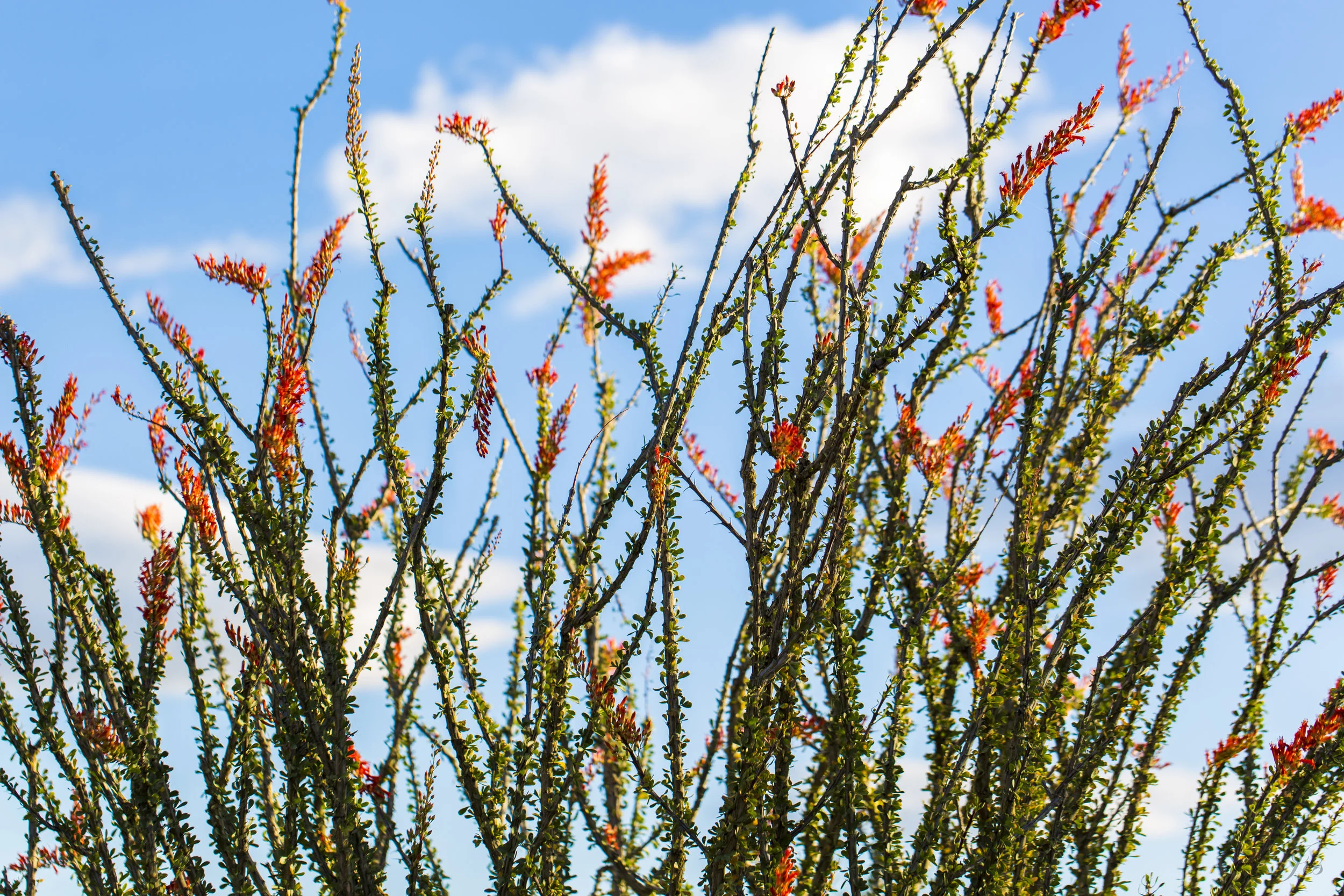
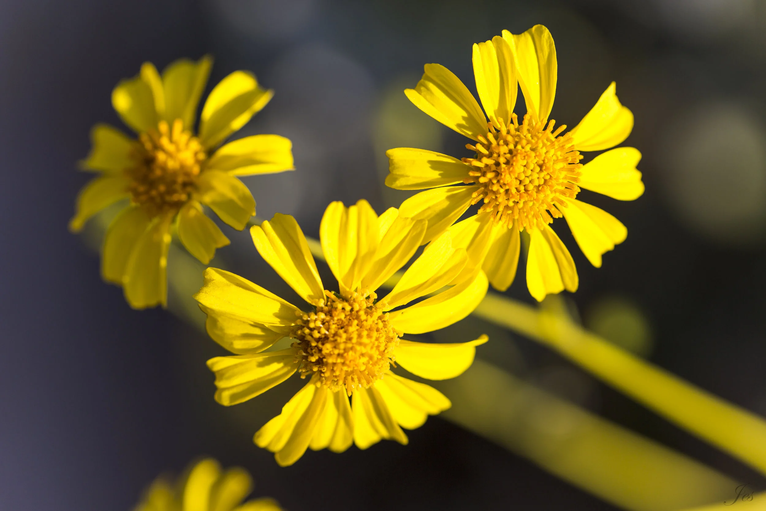
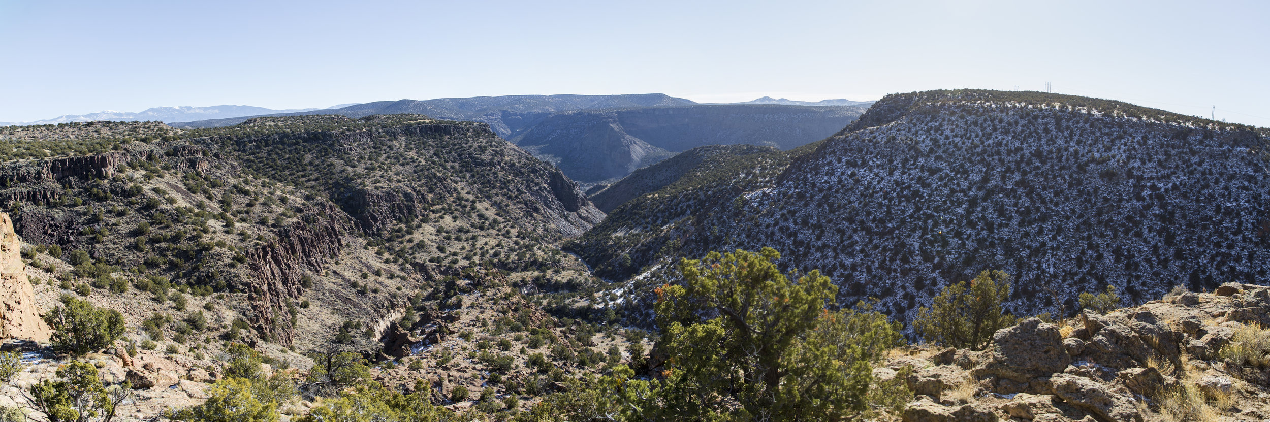
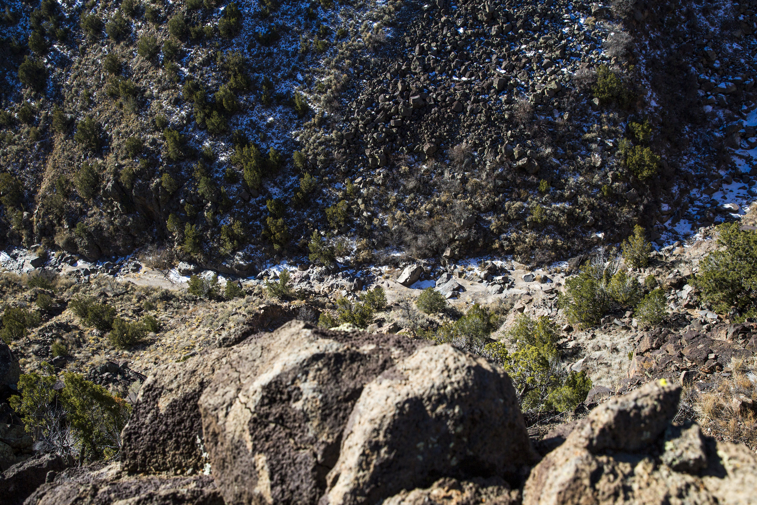
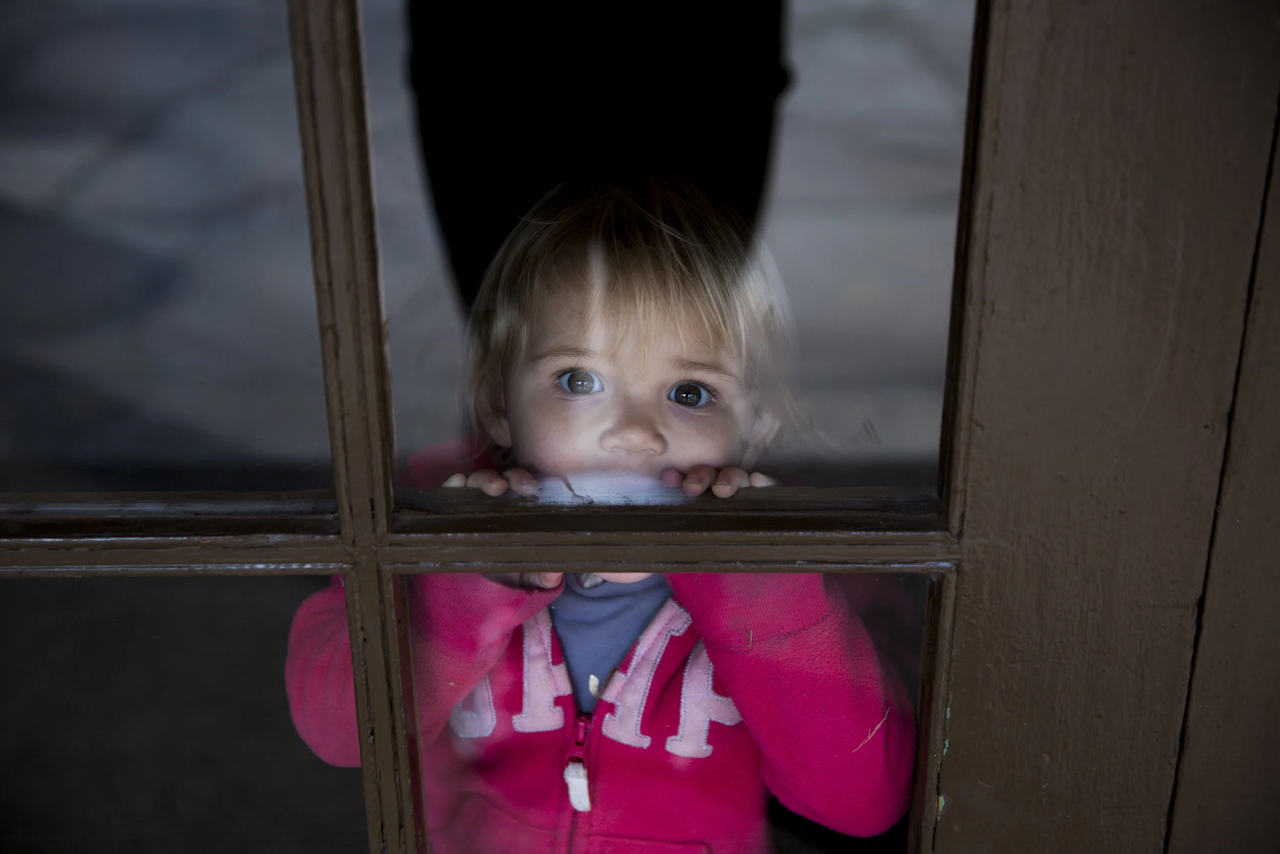
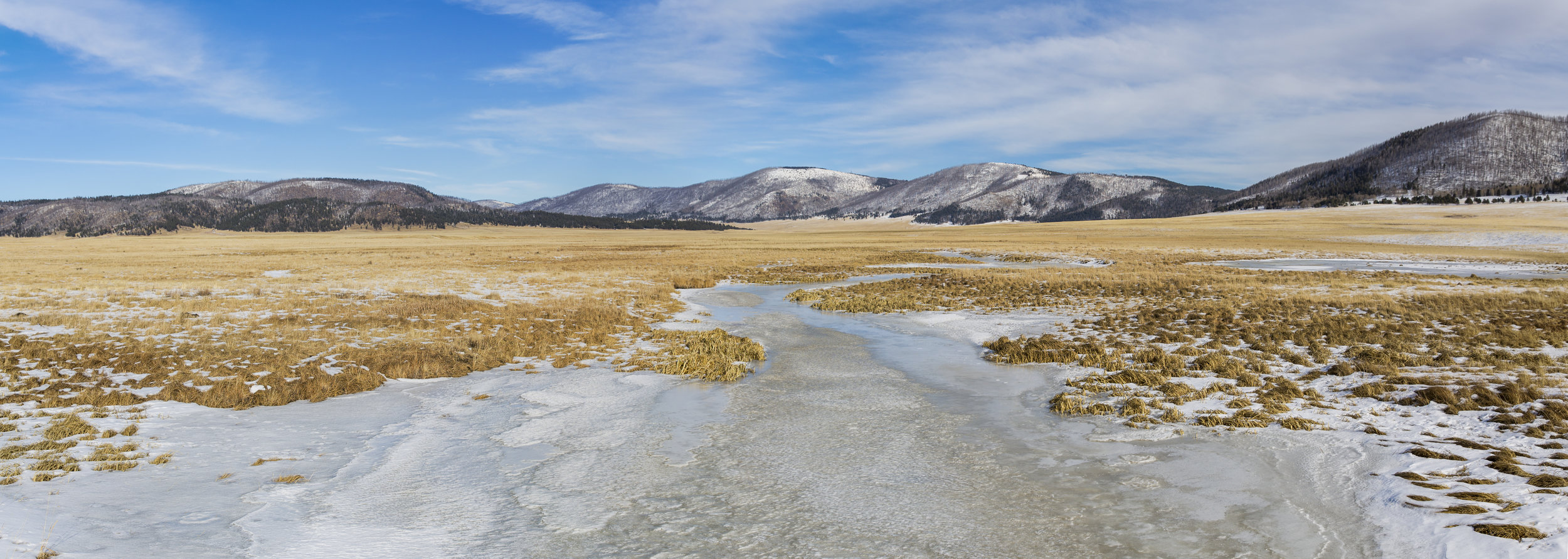
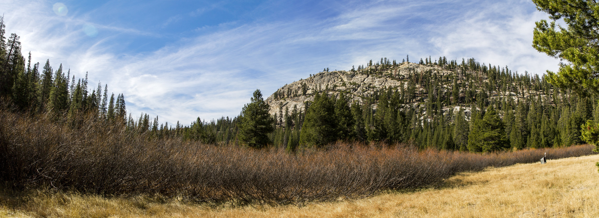
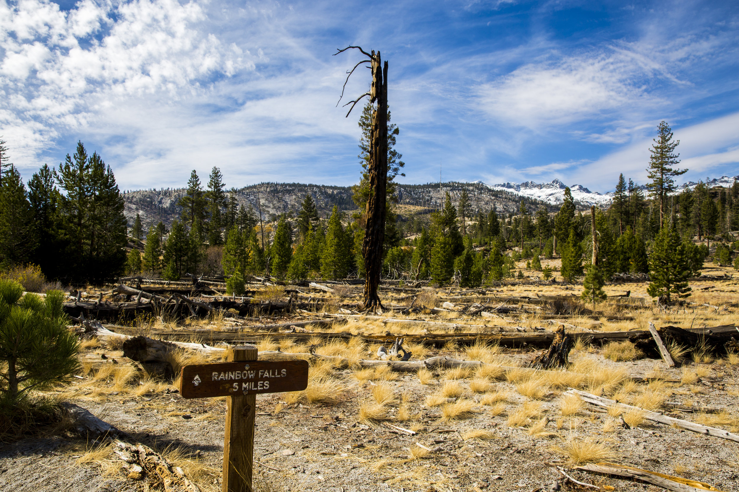
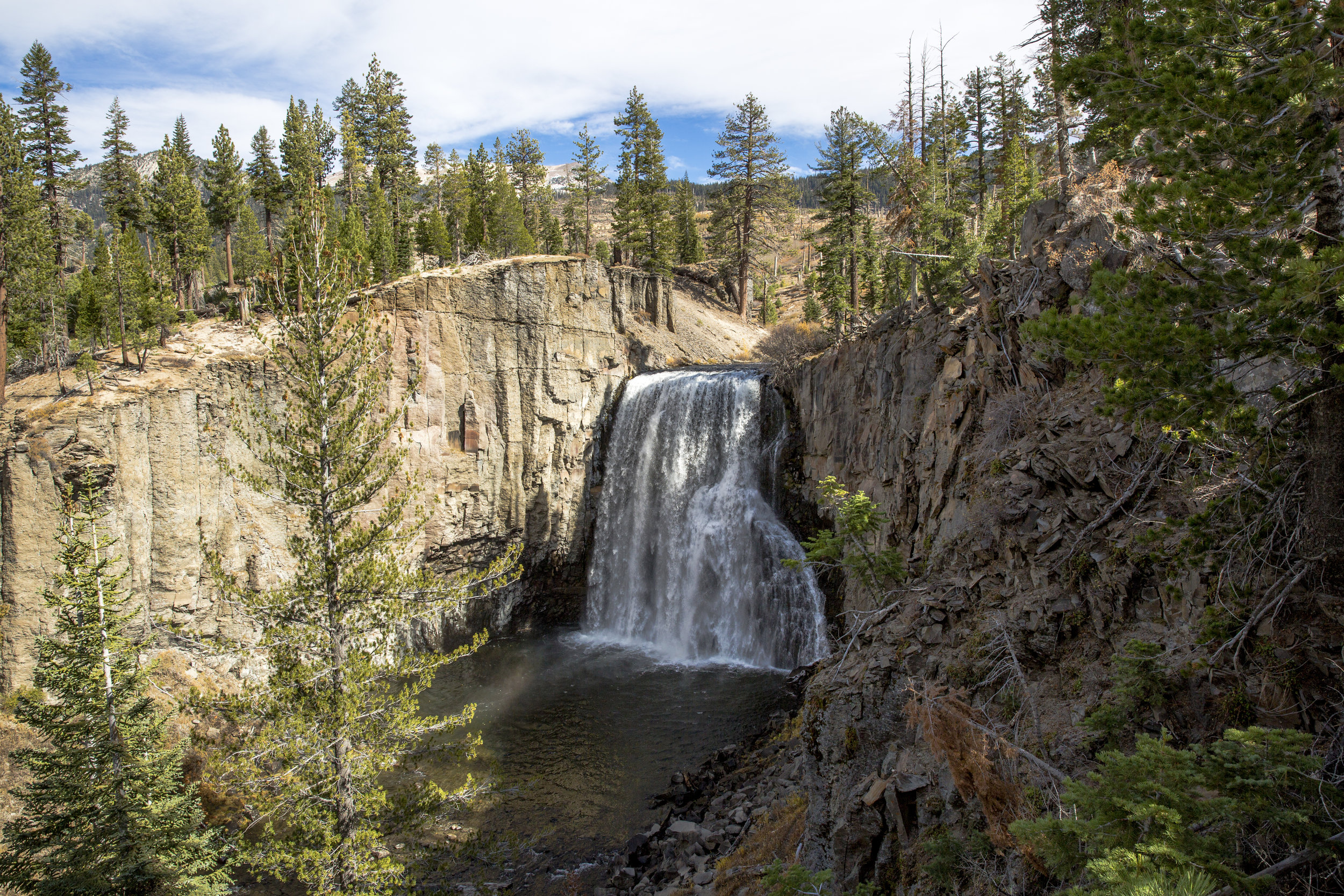
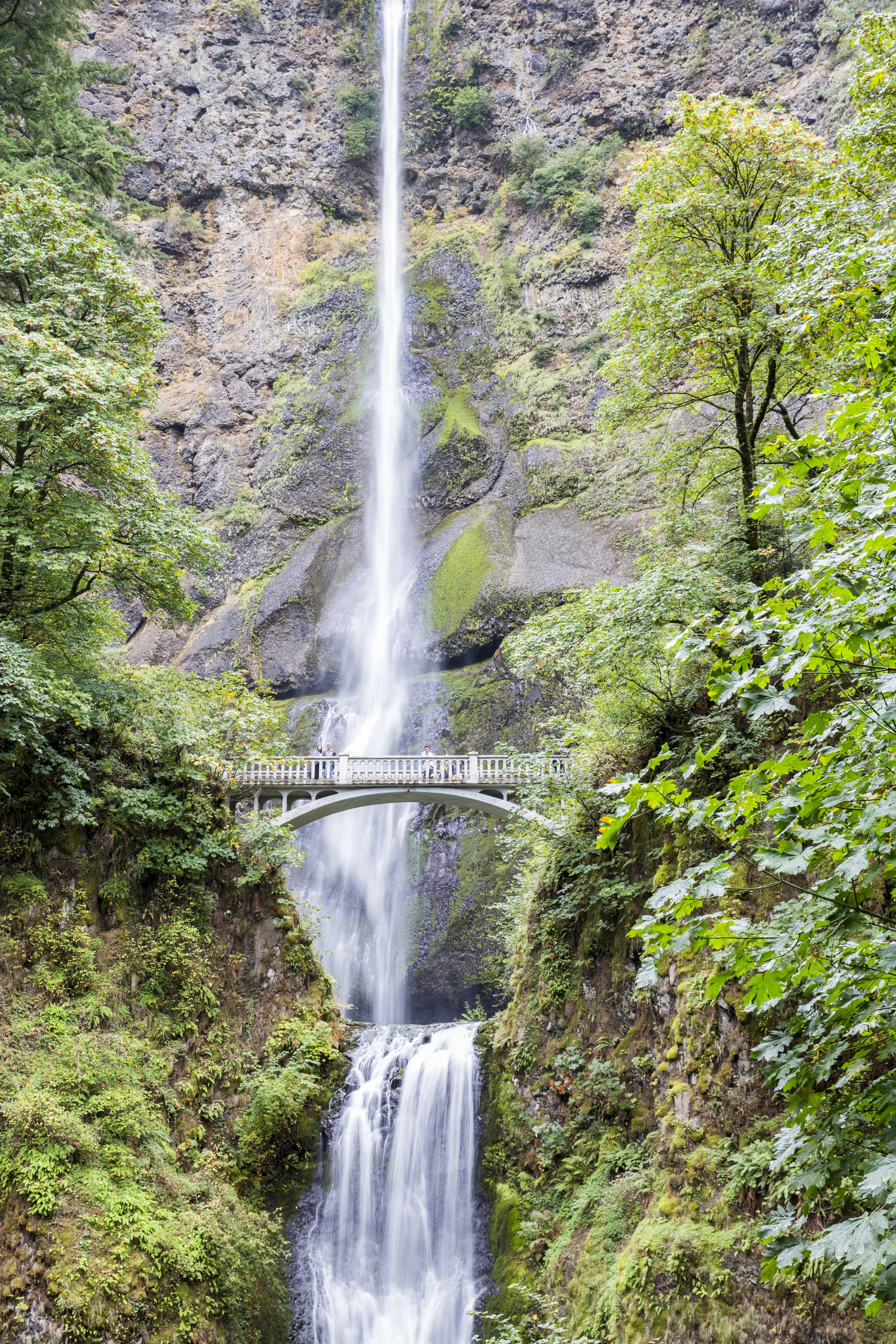
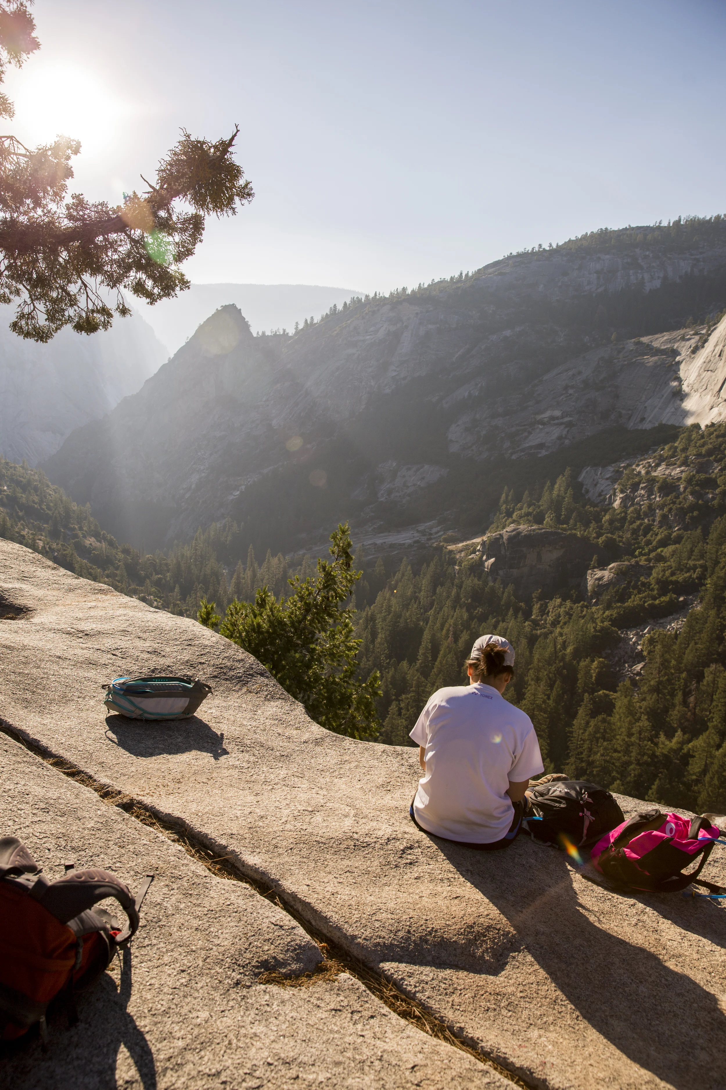
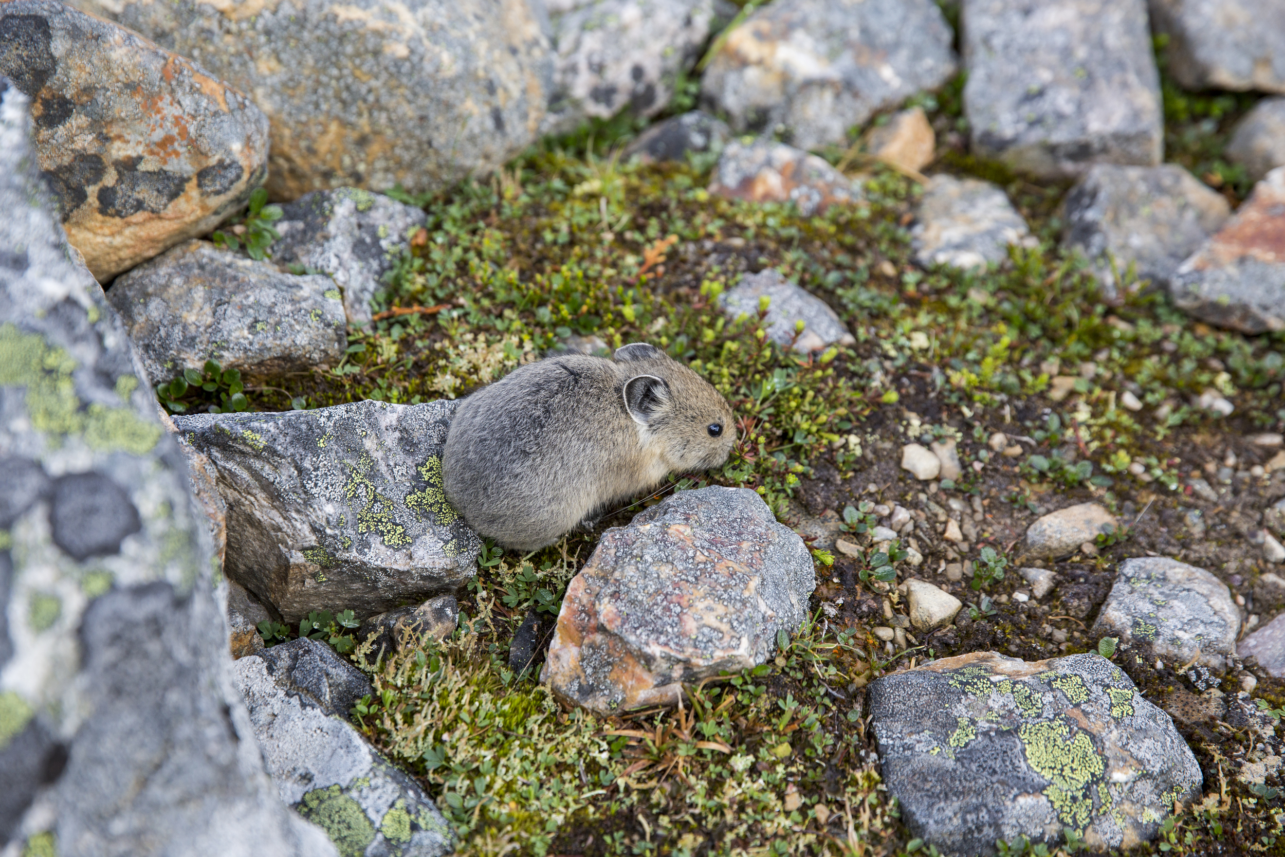
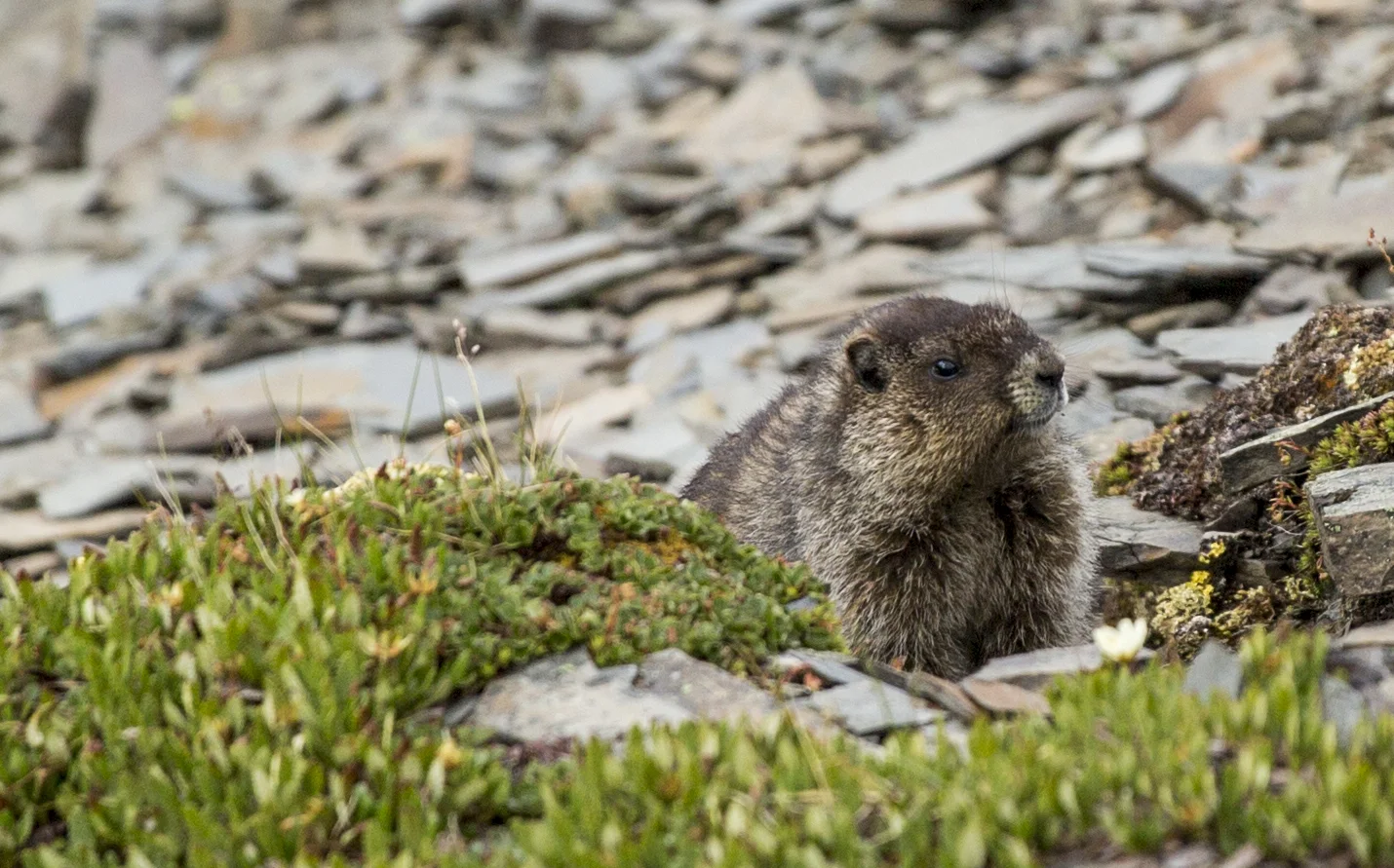
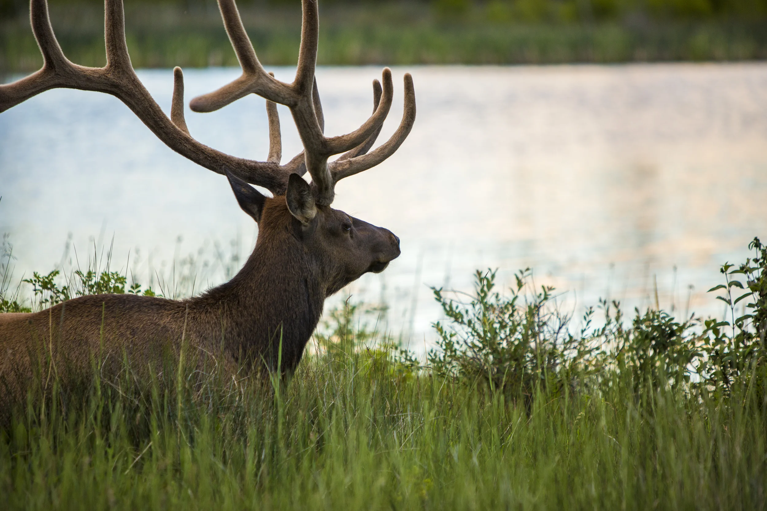
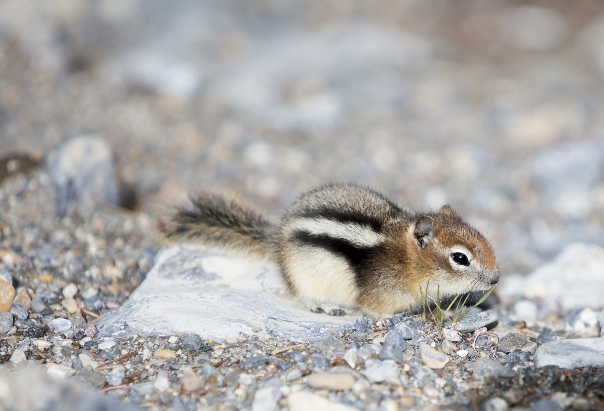
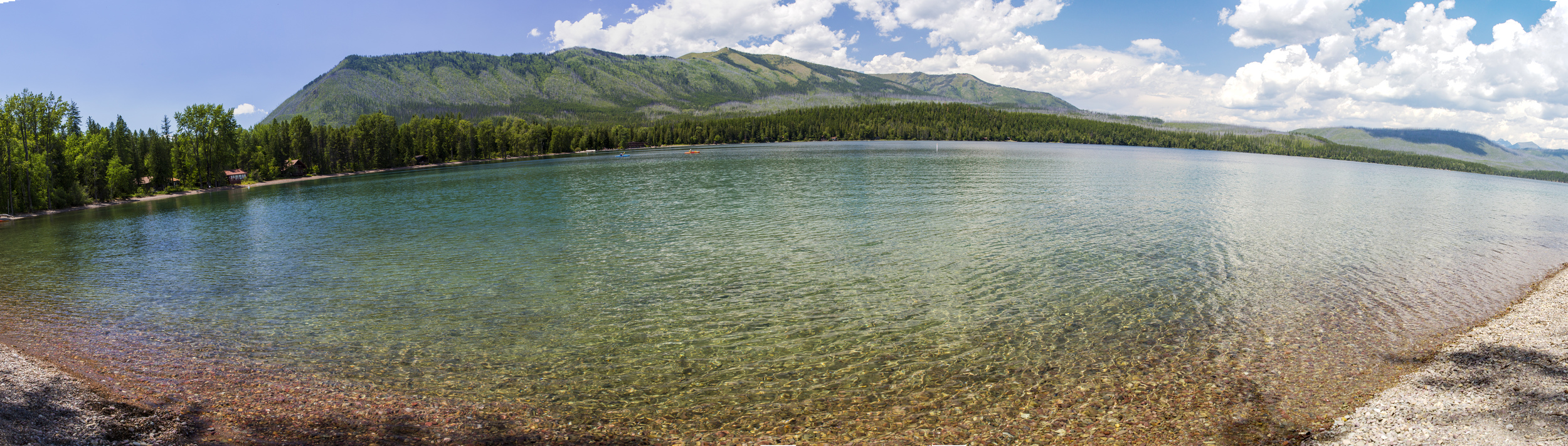
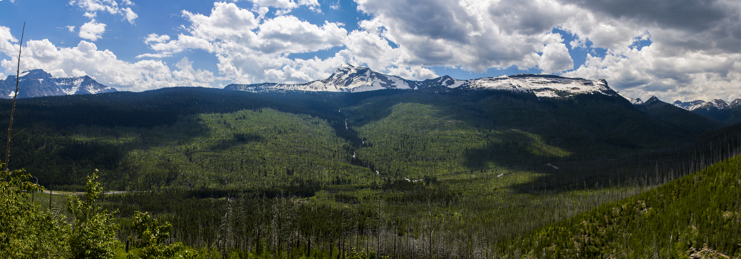
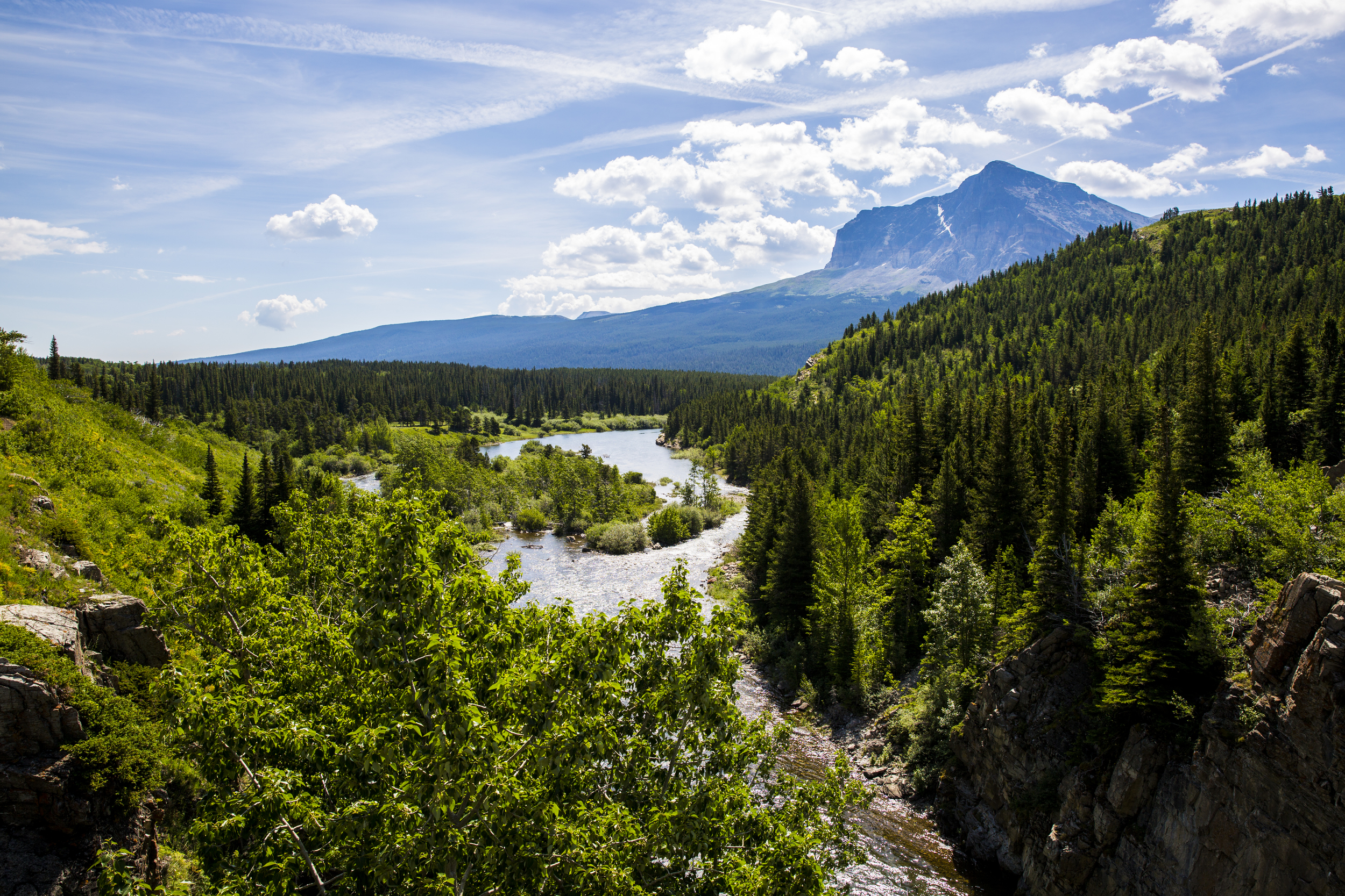
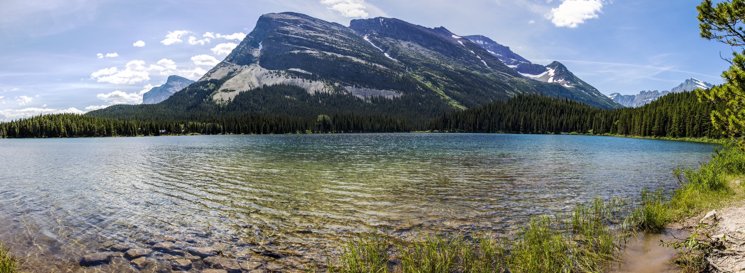
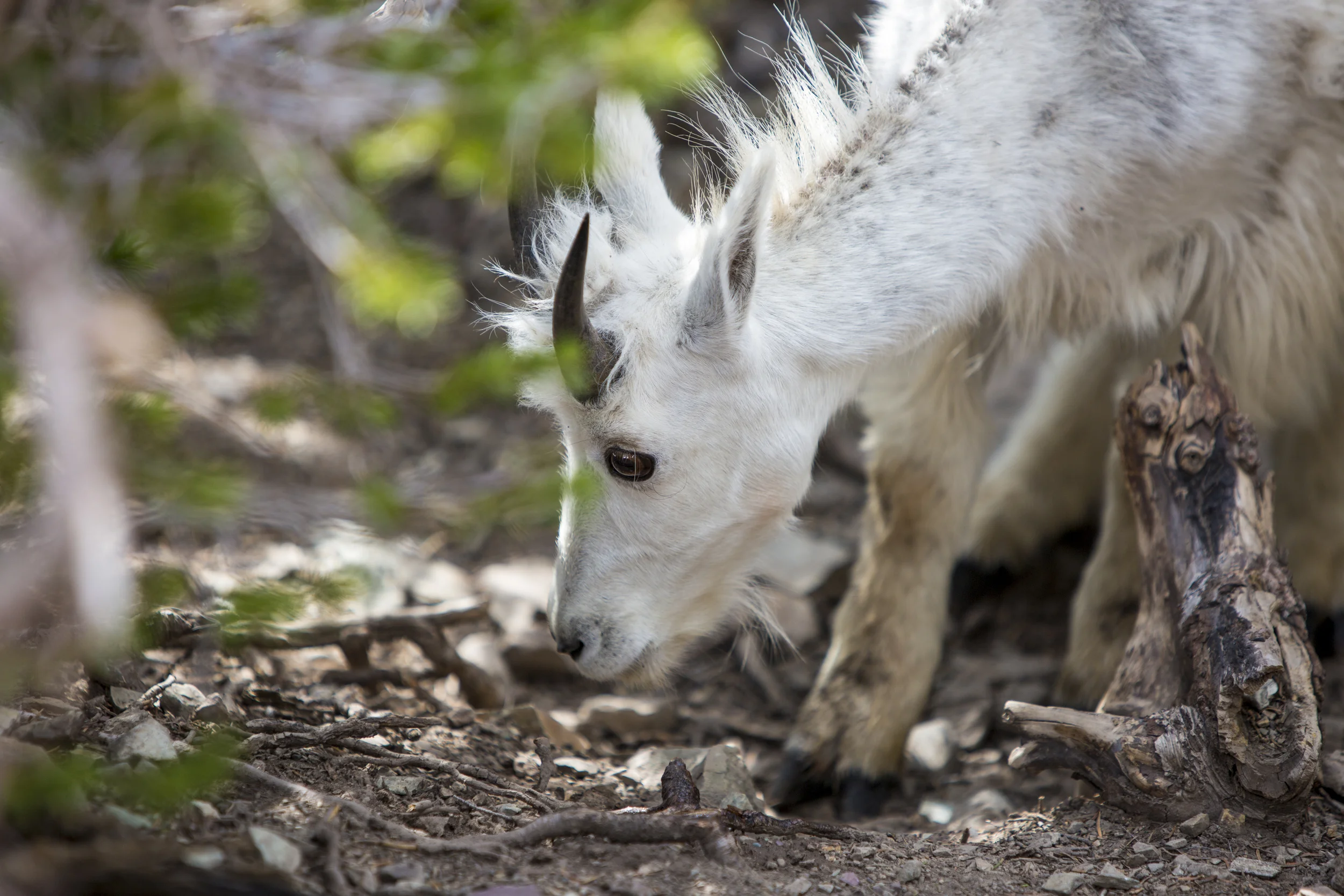
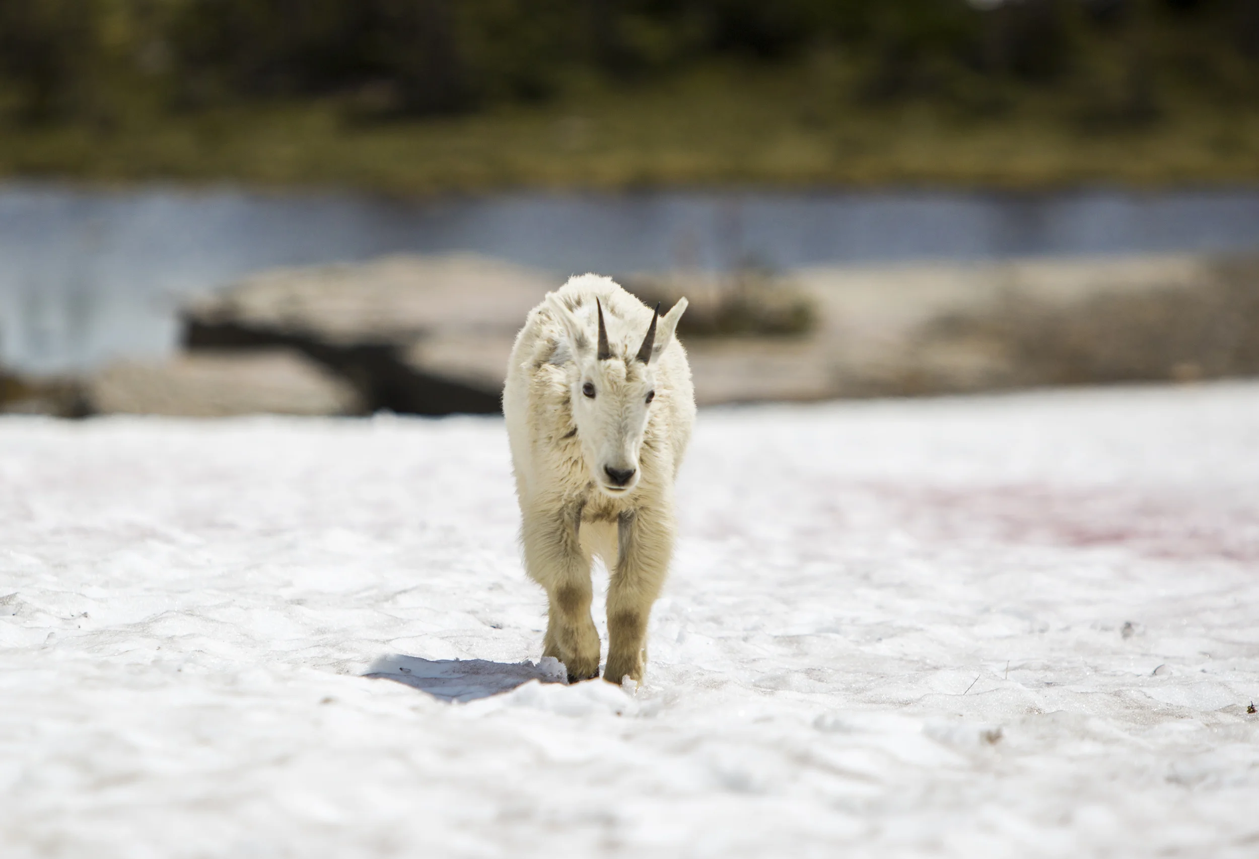
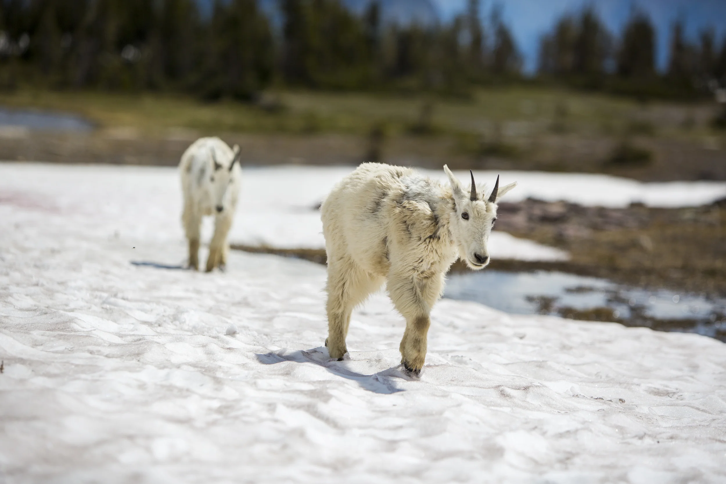
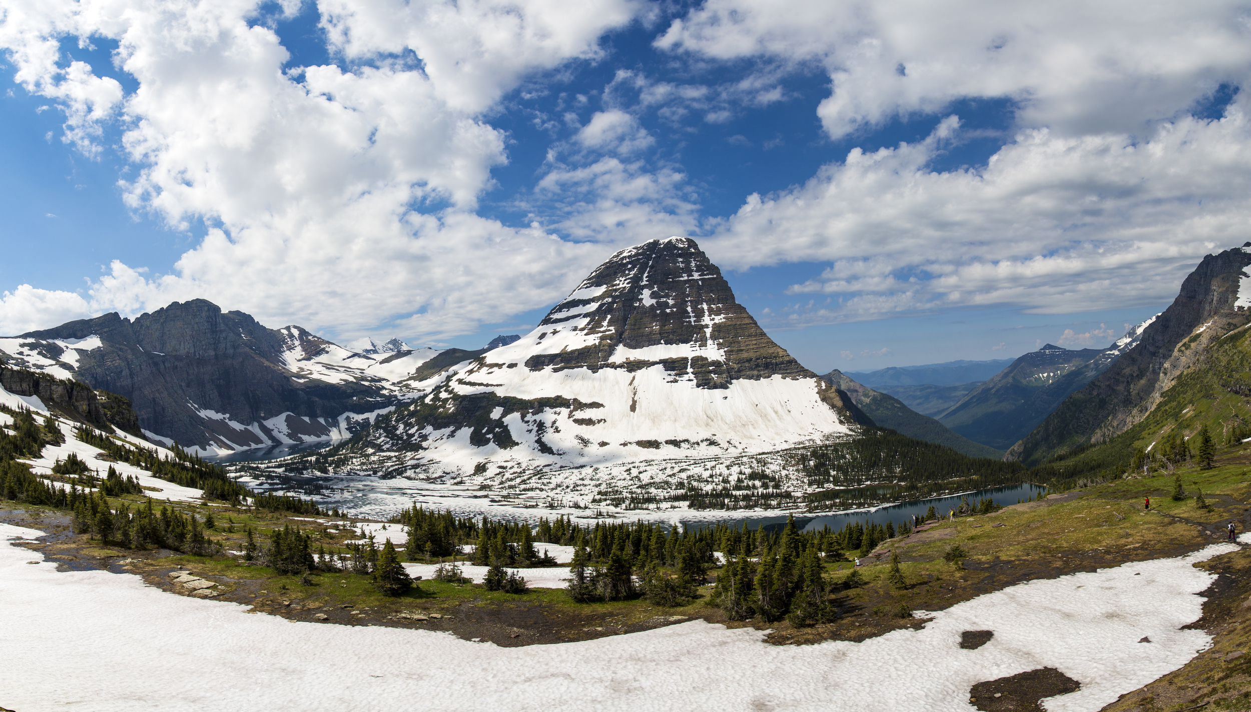
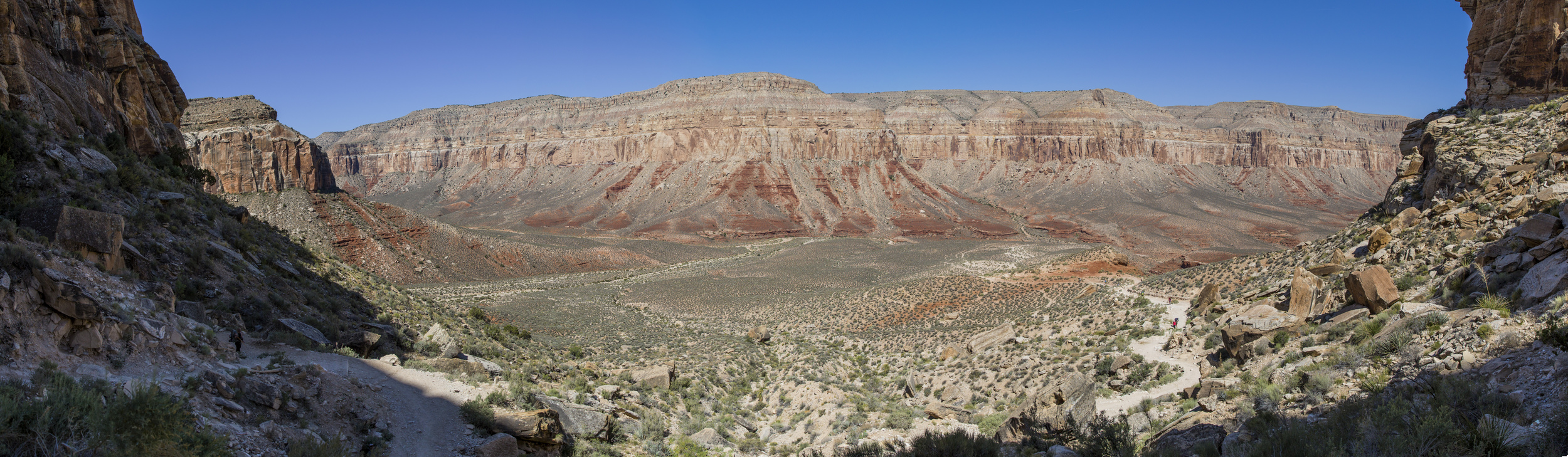
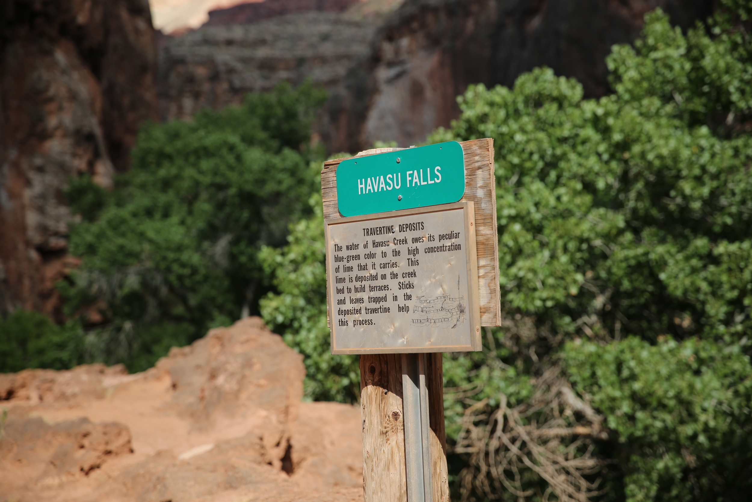
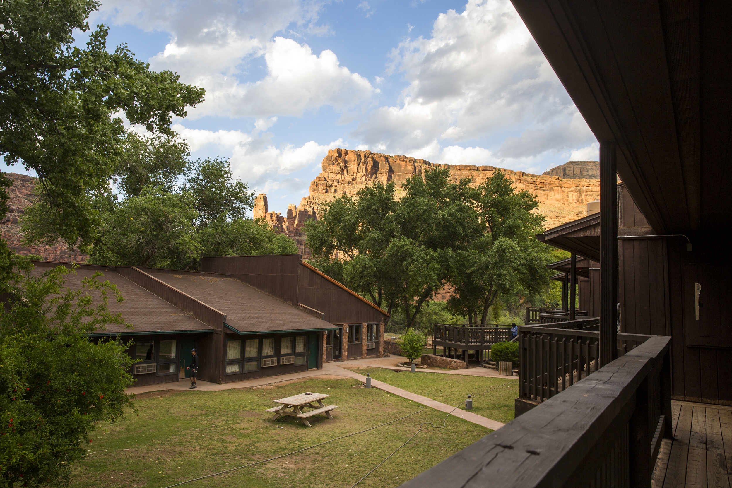
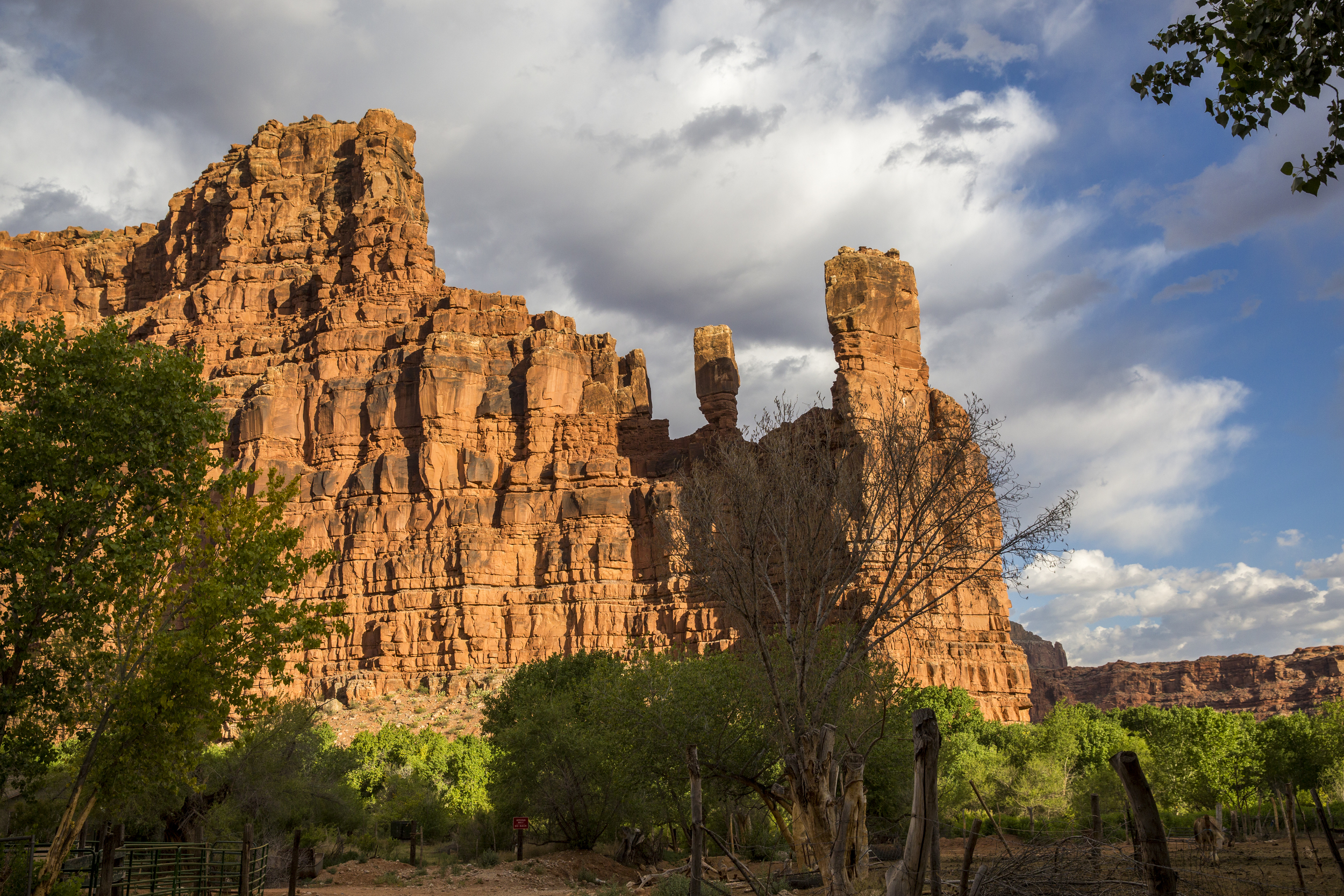
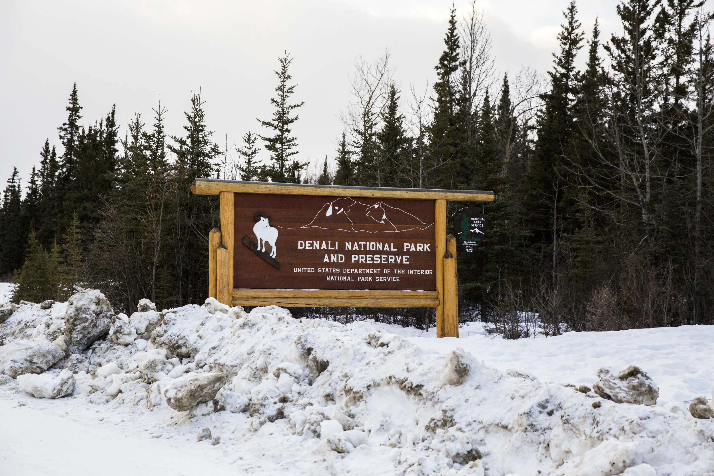
I am going to call this my annual backpacking trip although I am not sure I am going to do this every year. Last year in July, I had my first backpacking experience at the Enchantments (not recommended for a first backpacking trip BTW), and this year, we went to the Havasu falls in the Havasupai Indian Reservation. We have been there exactly 3 years ago (see post here), but instead of camping, we lodged, and we only spent 2 days hiking in and out, and therefore did not make it to the Beaver falls, which was the main reason we decided to go back!

Day 1 - Hiking in

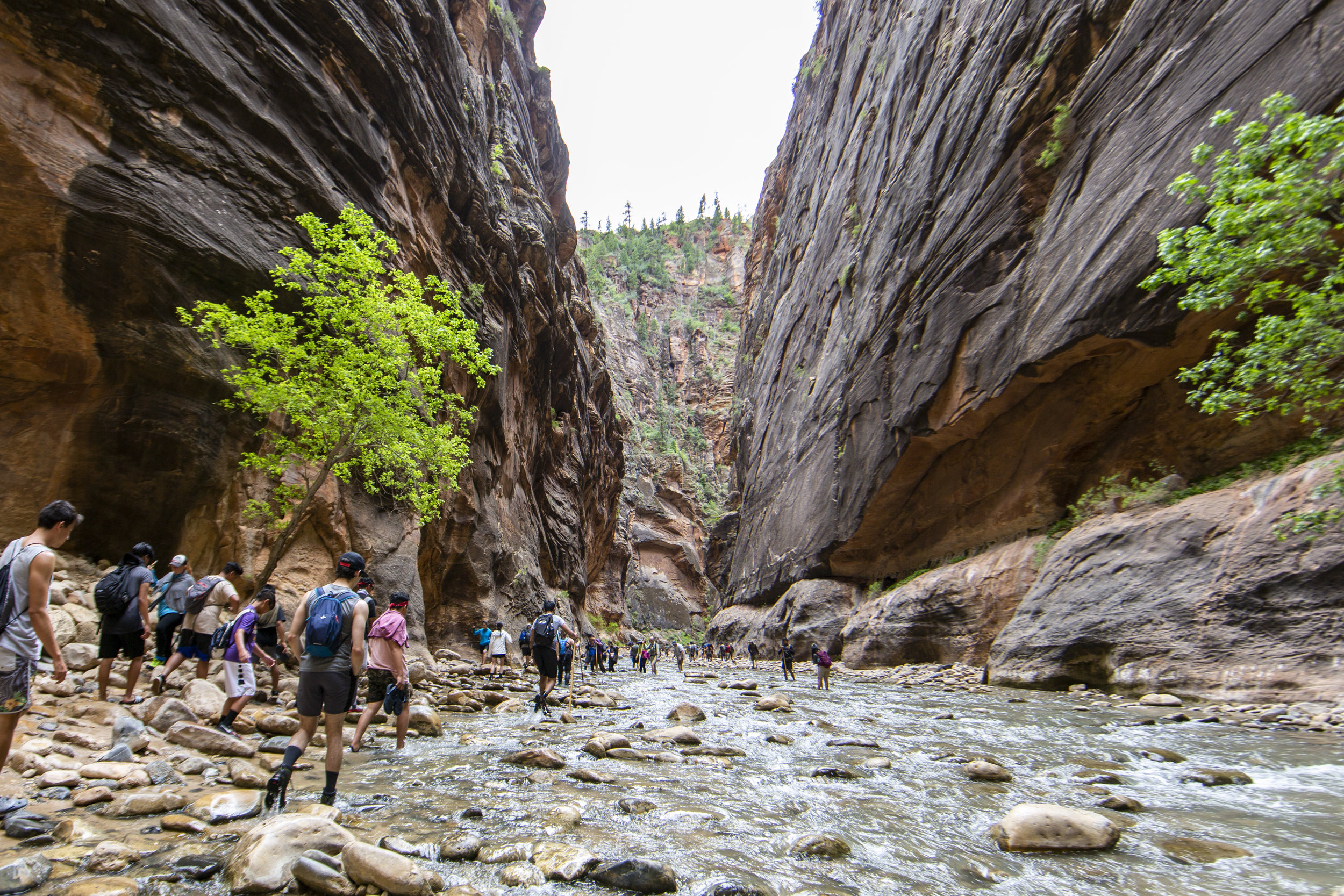
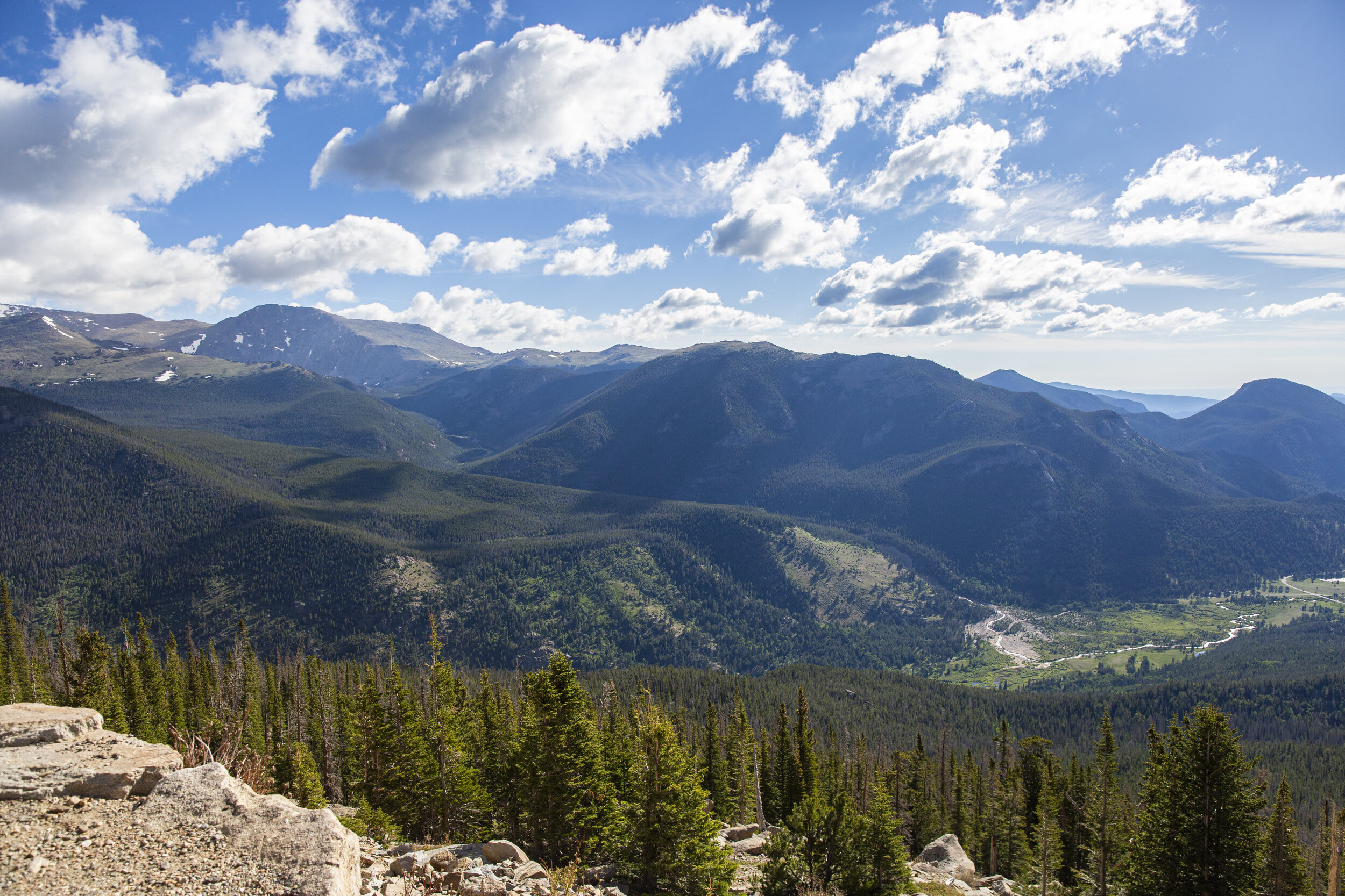
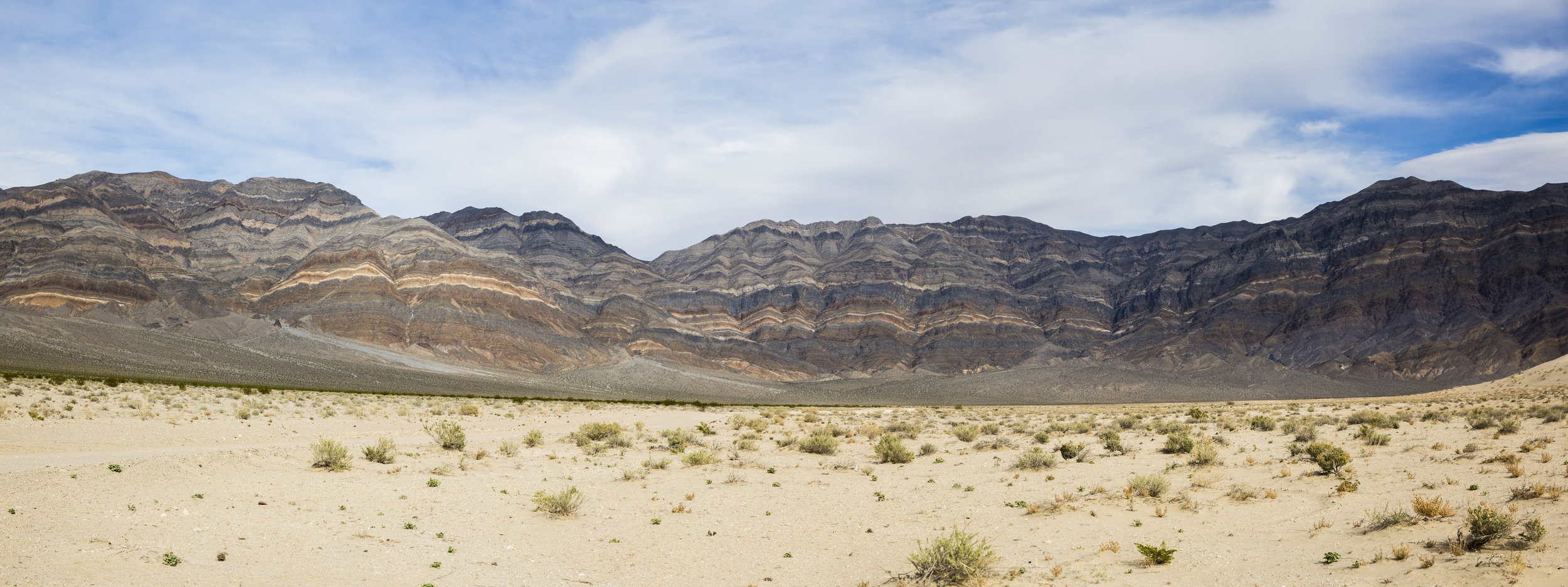
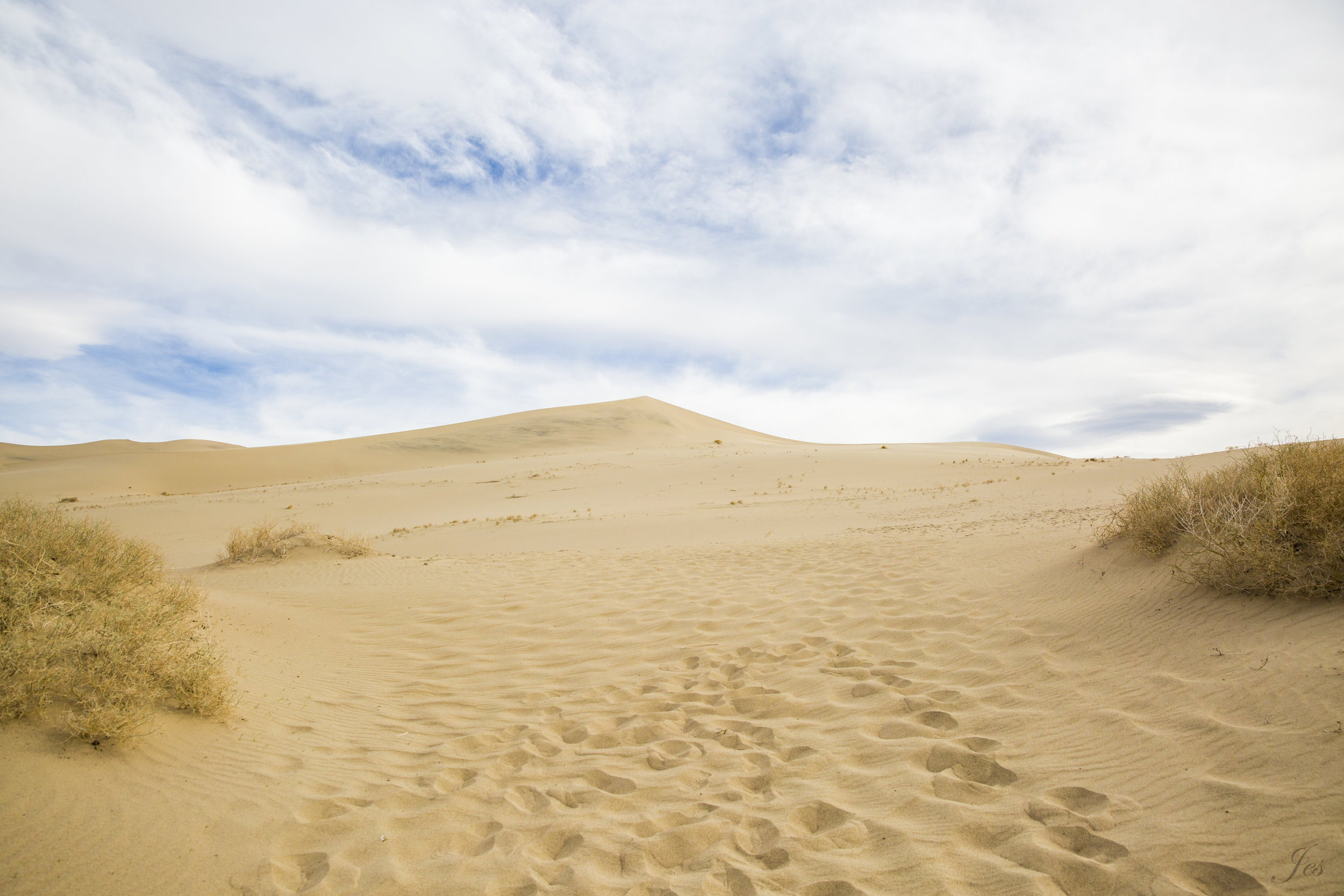
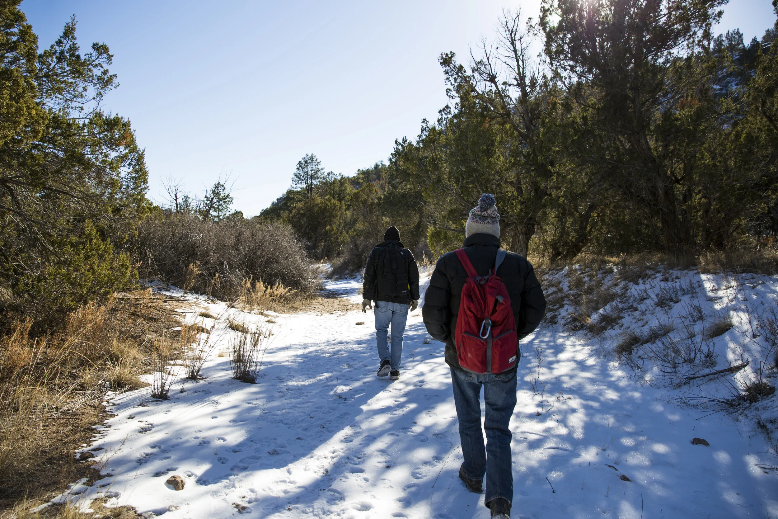
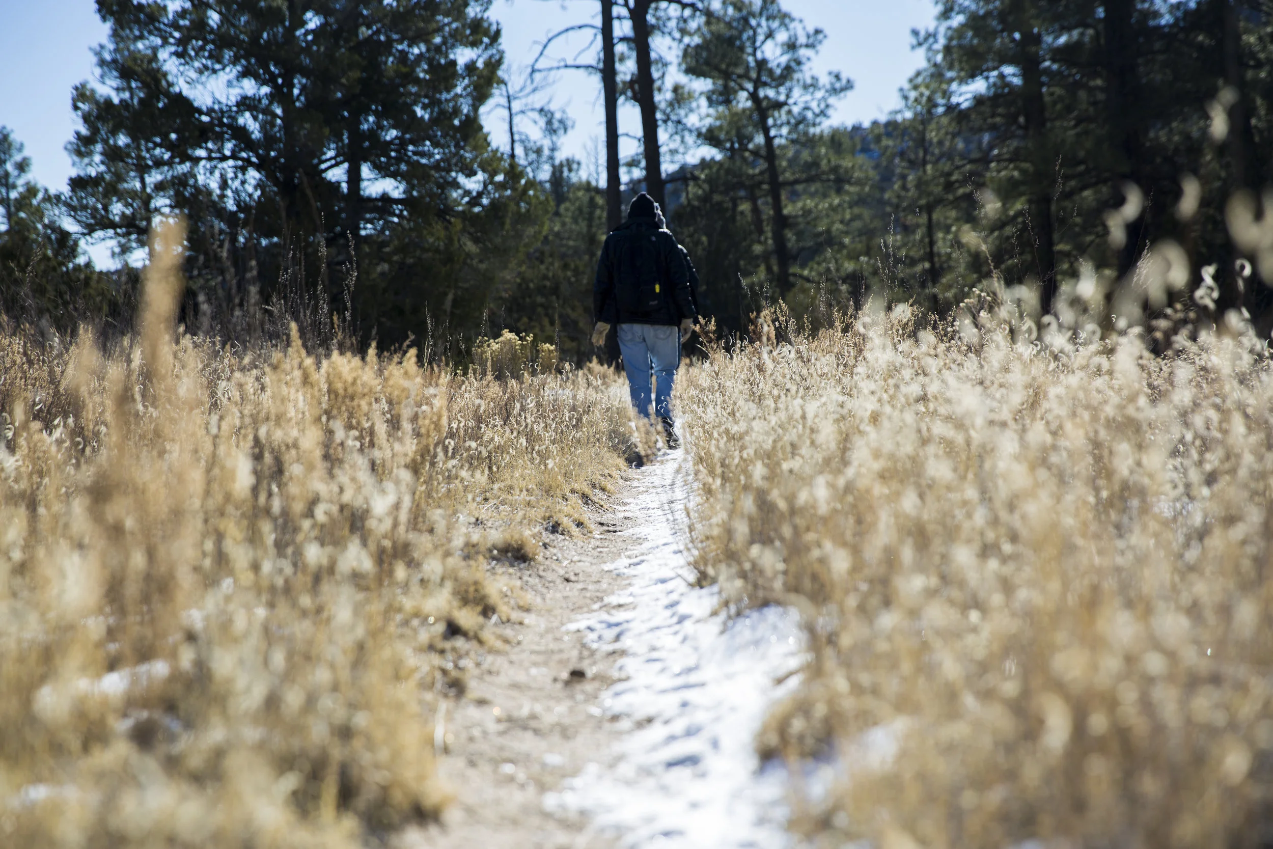
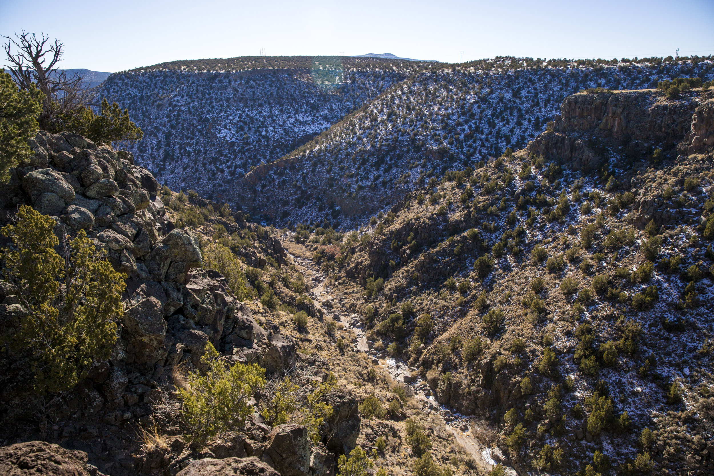
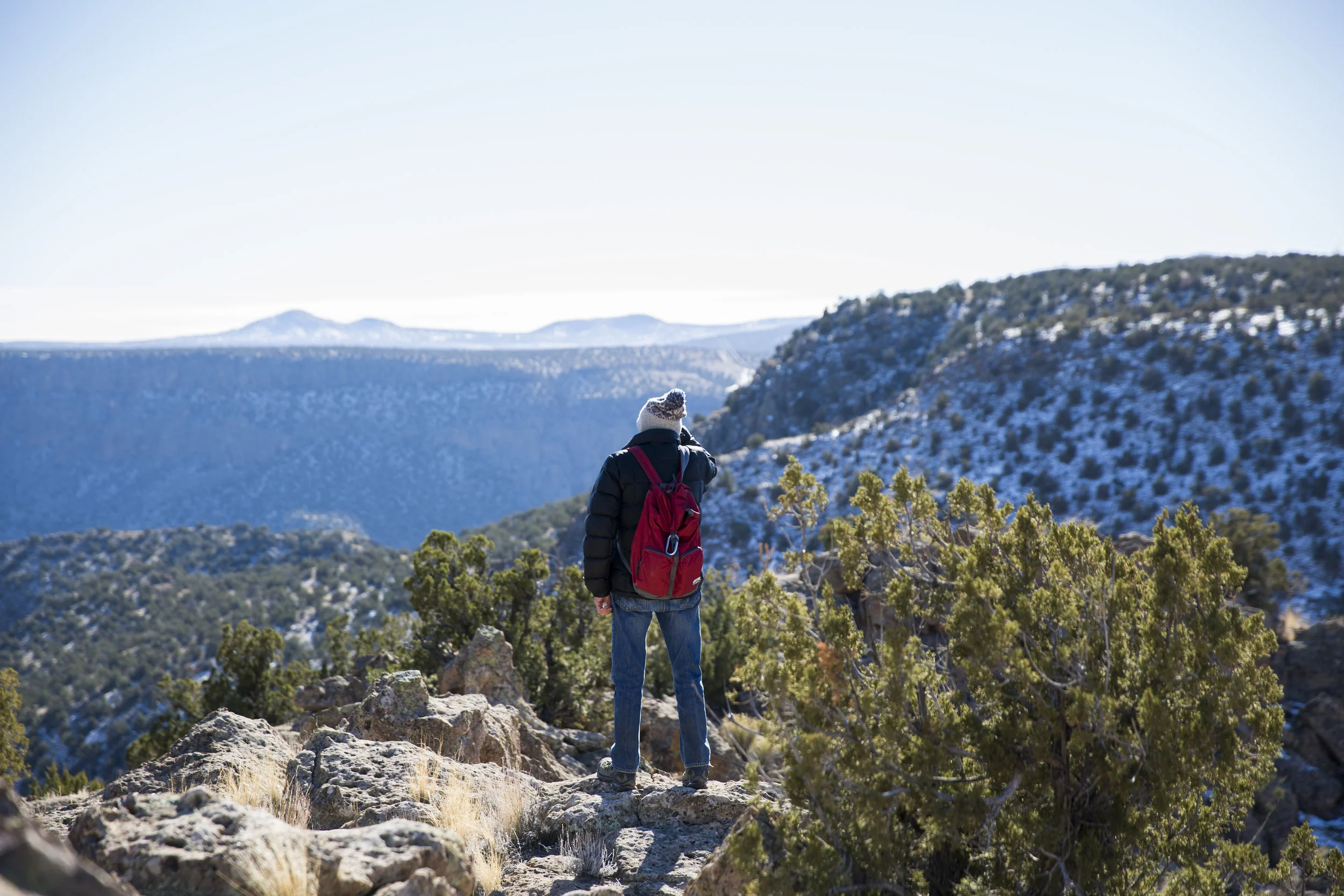
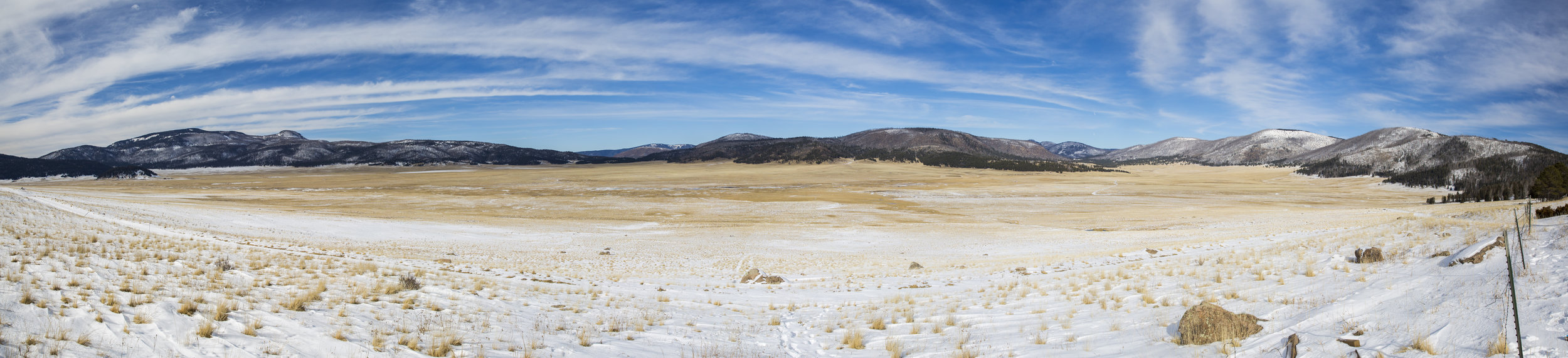
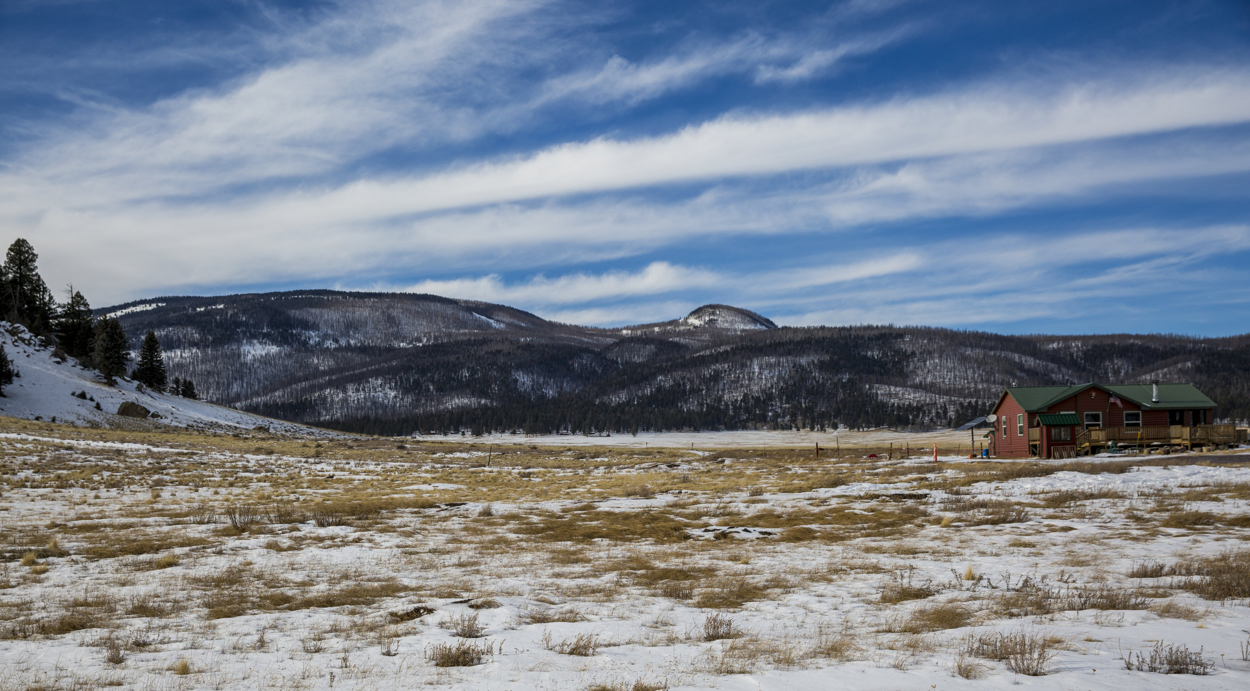
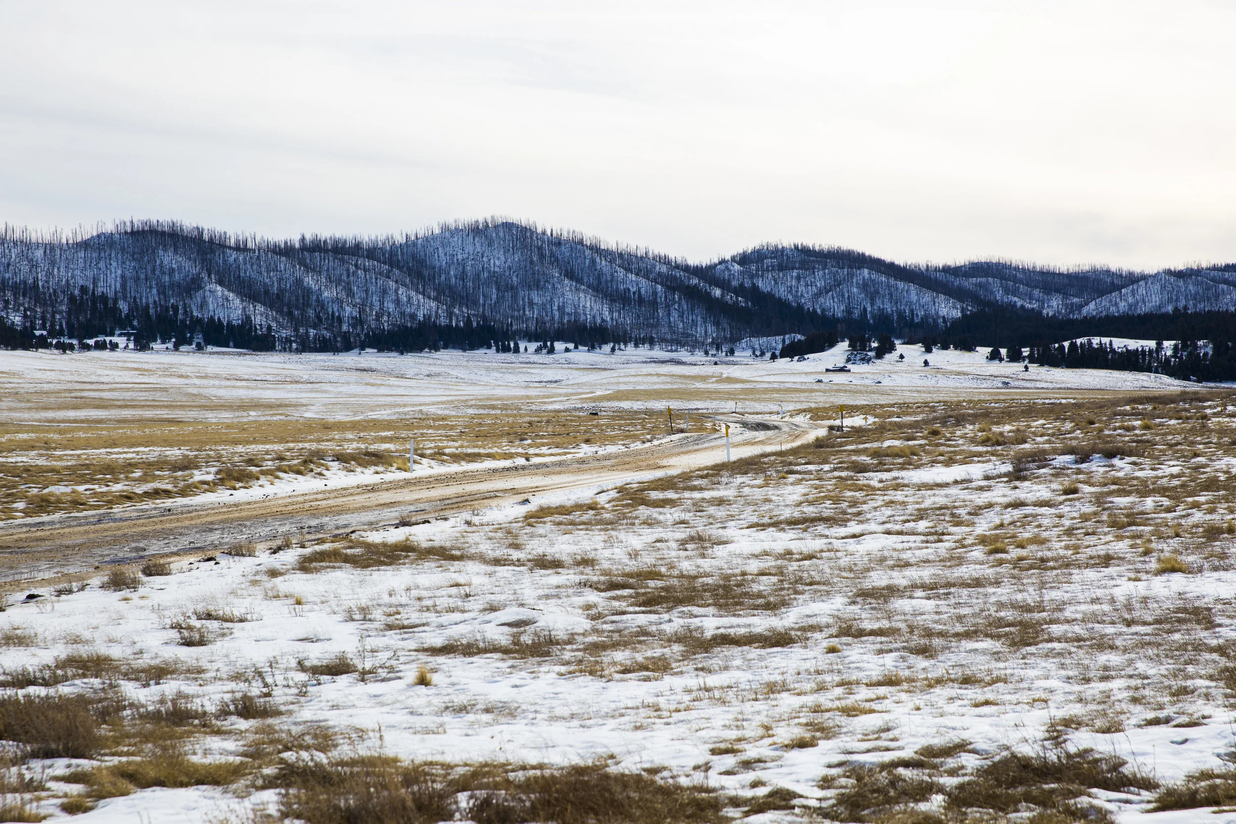
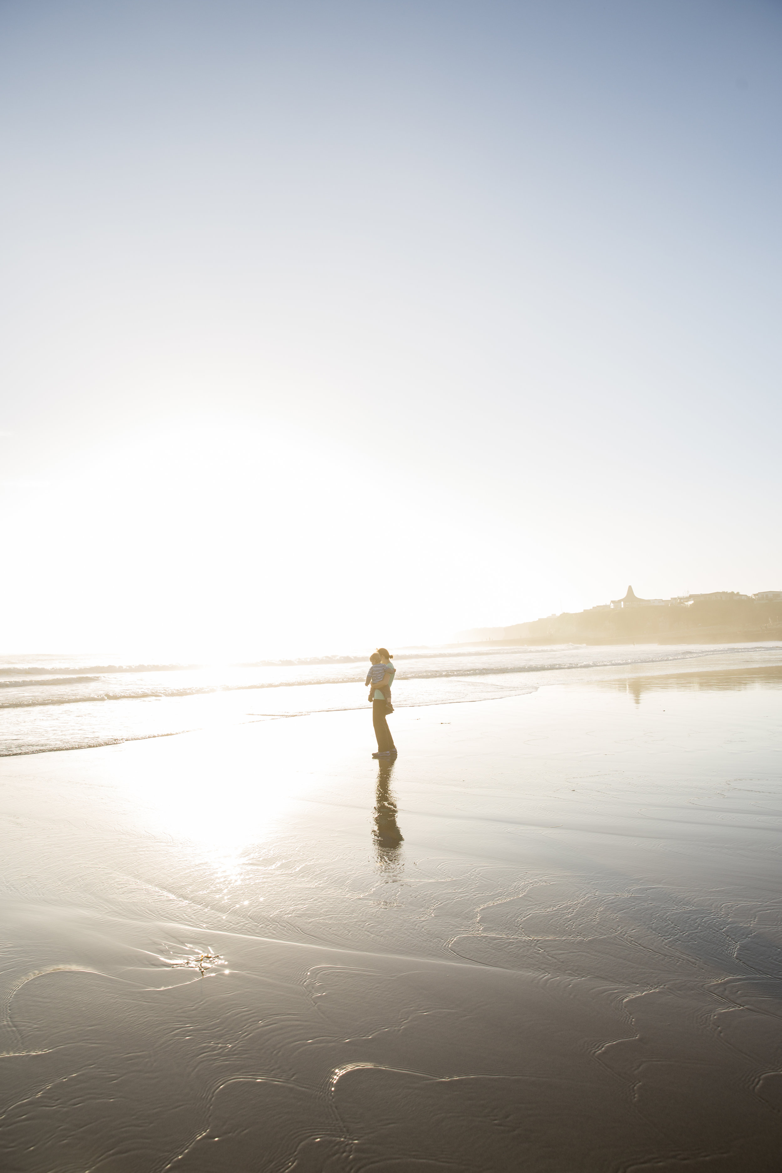
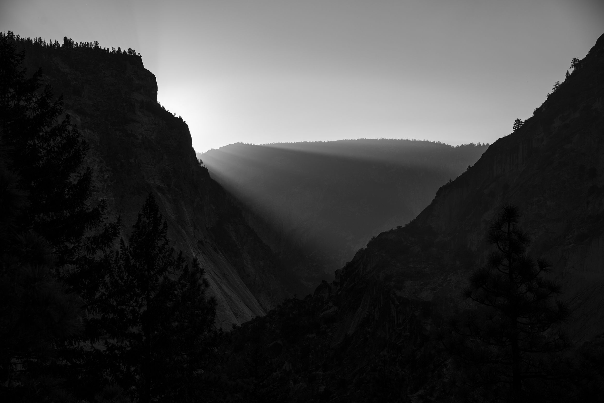
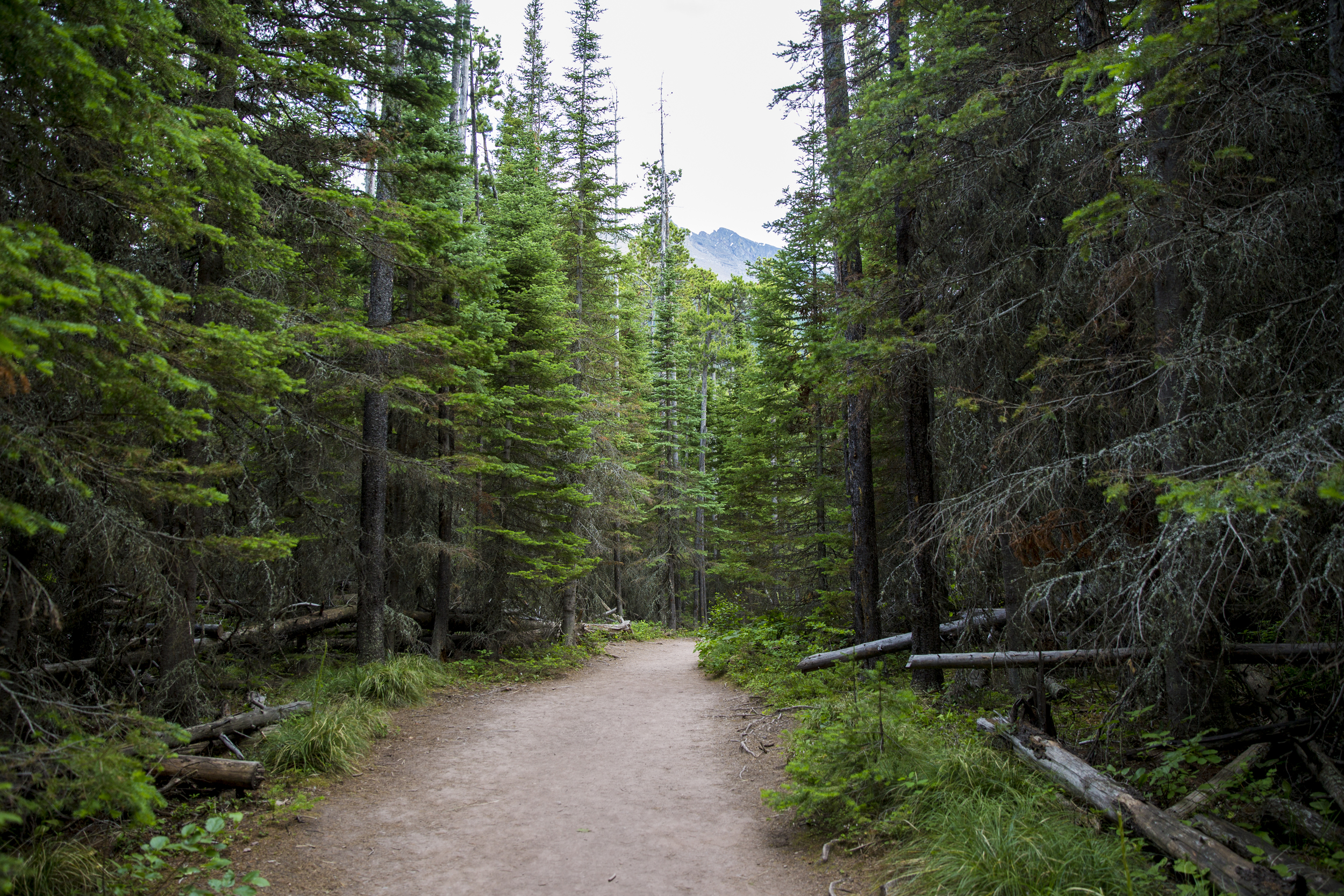
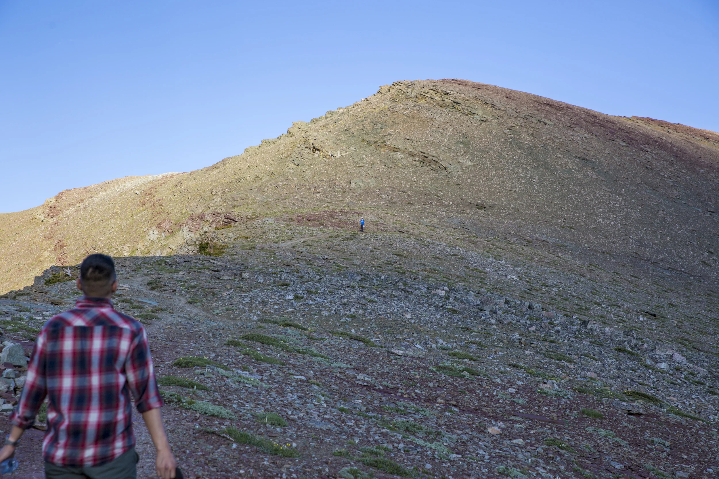
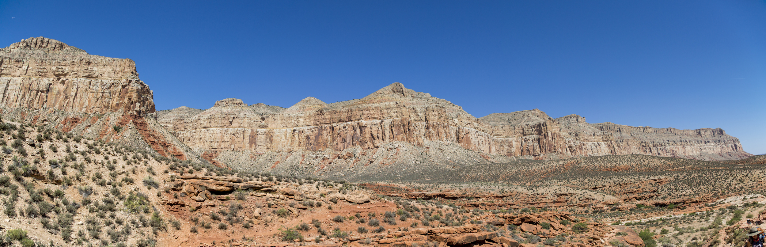
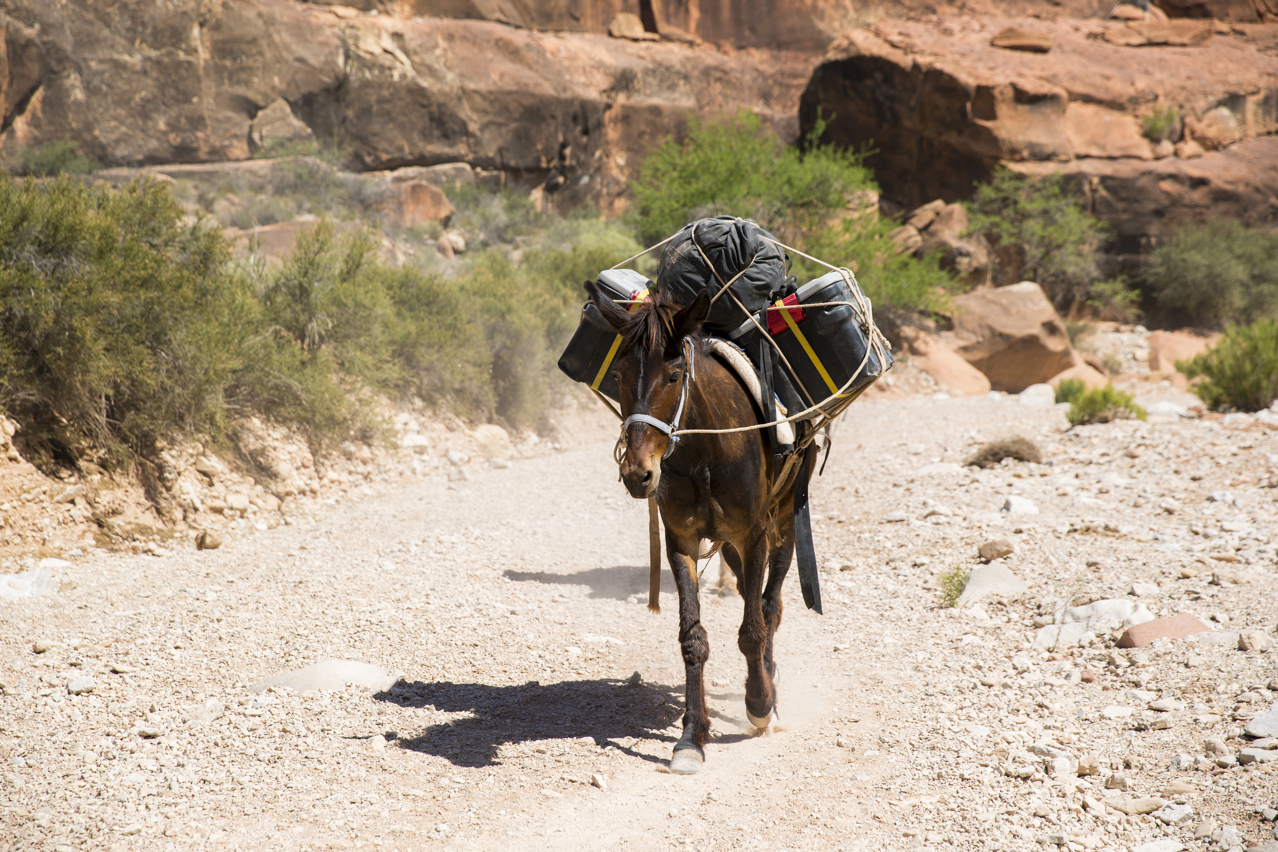
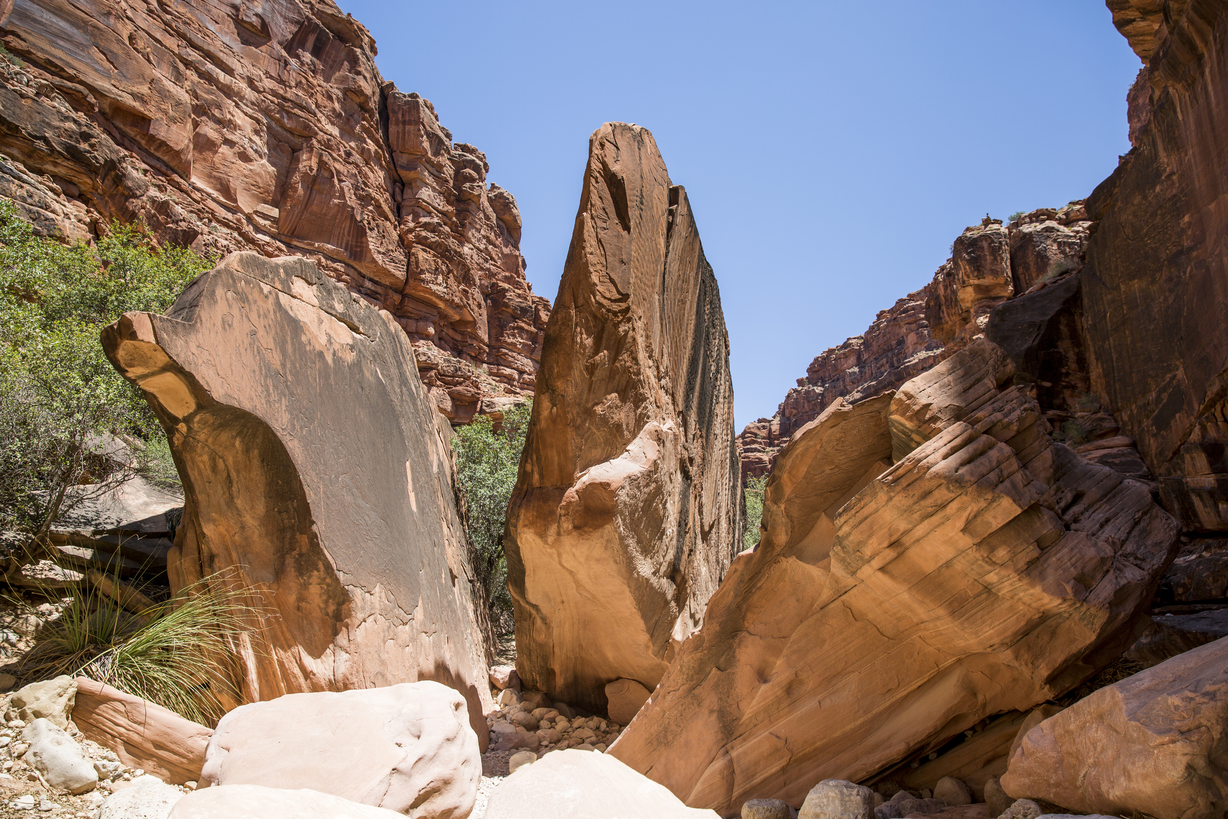
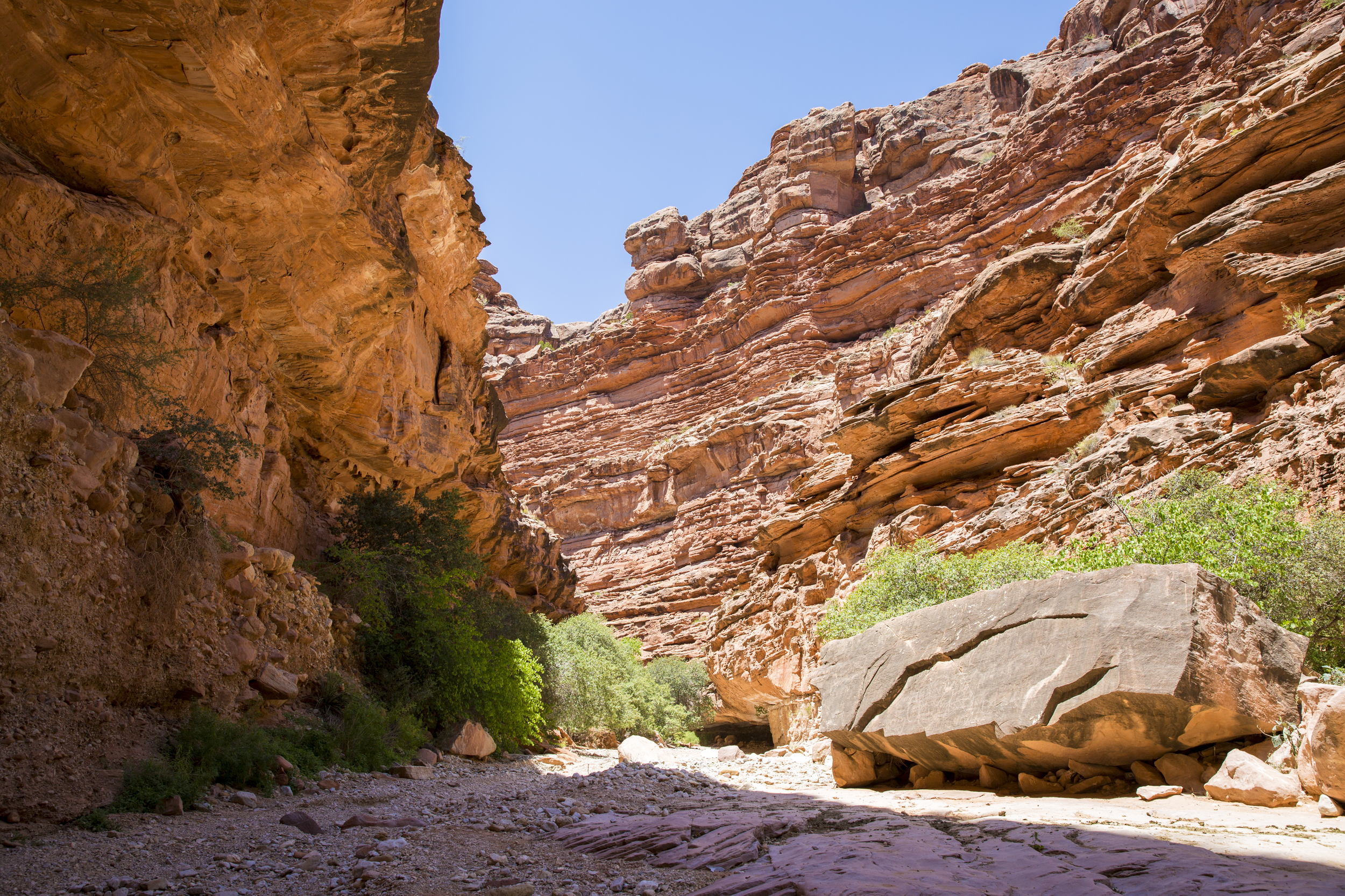
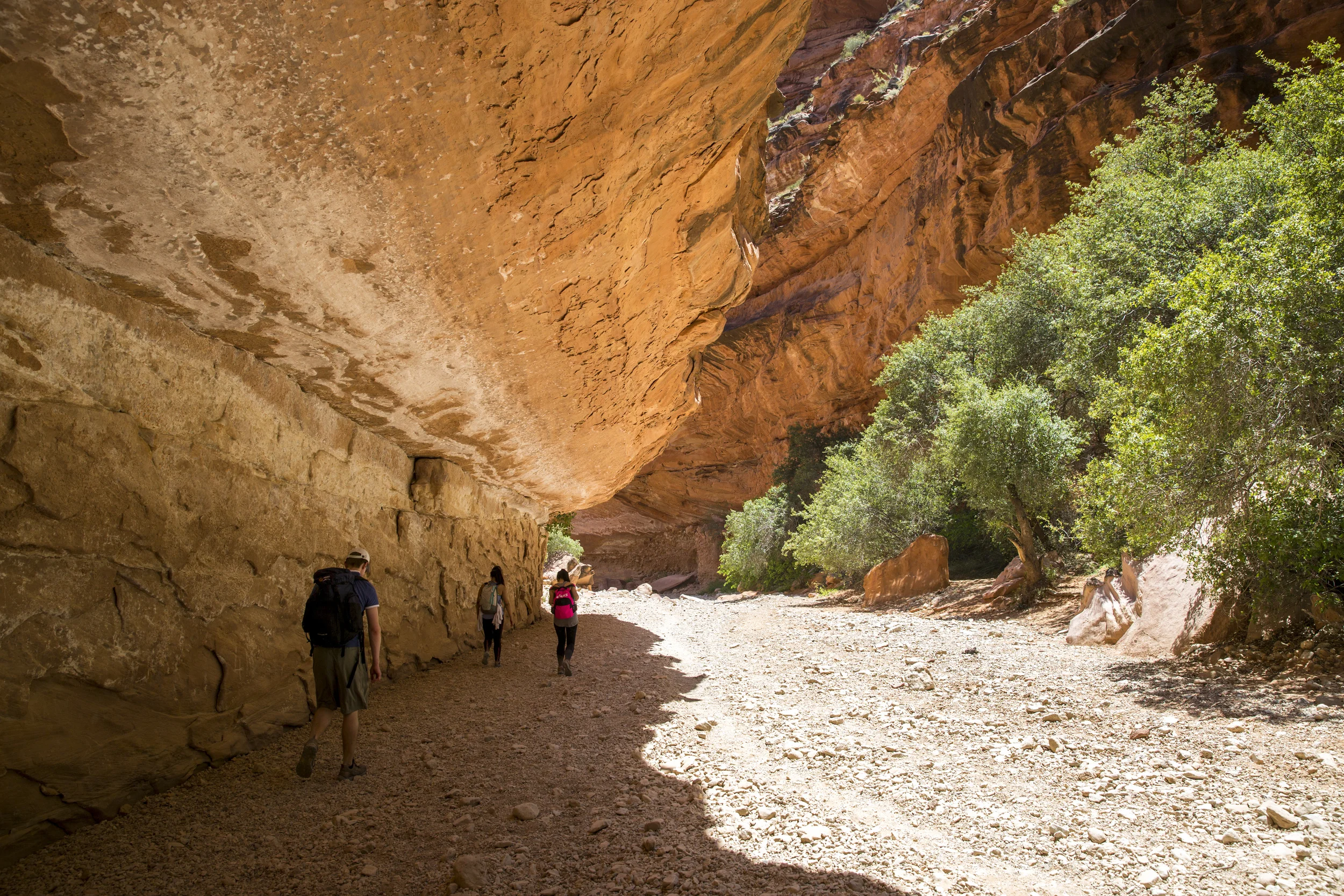
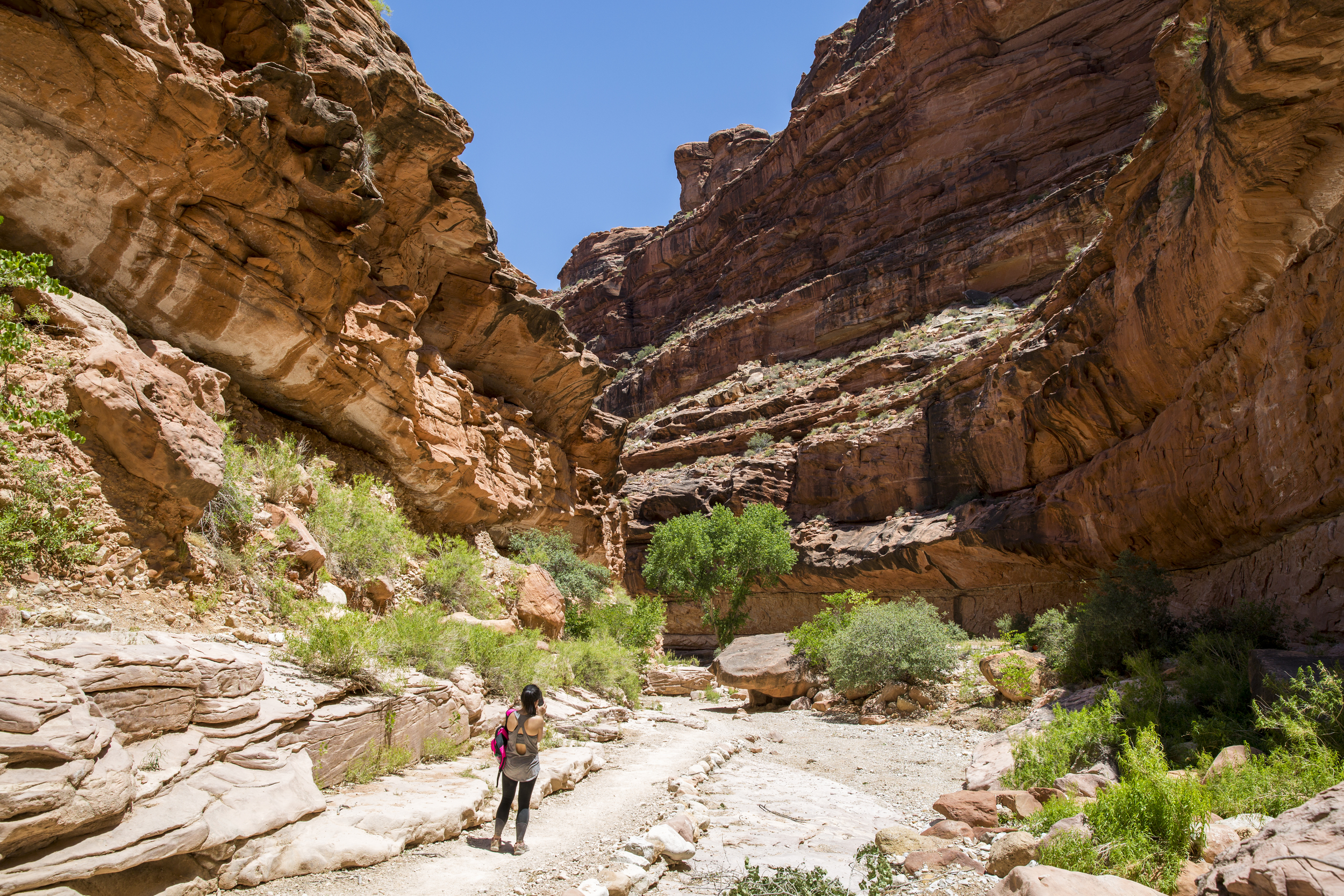
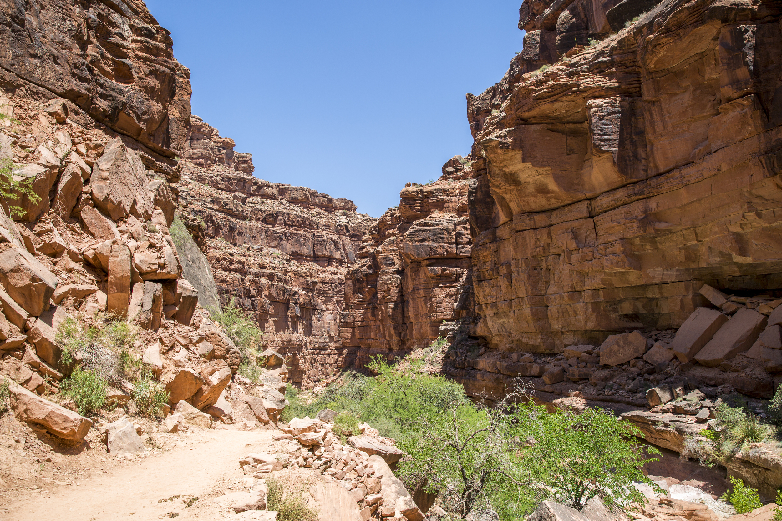
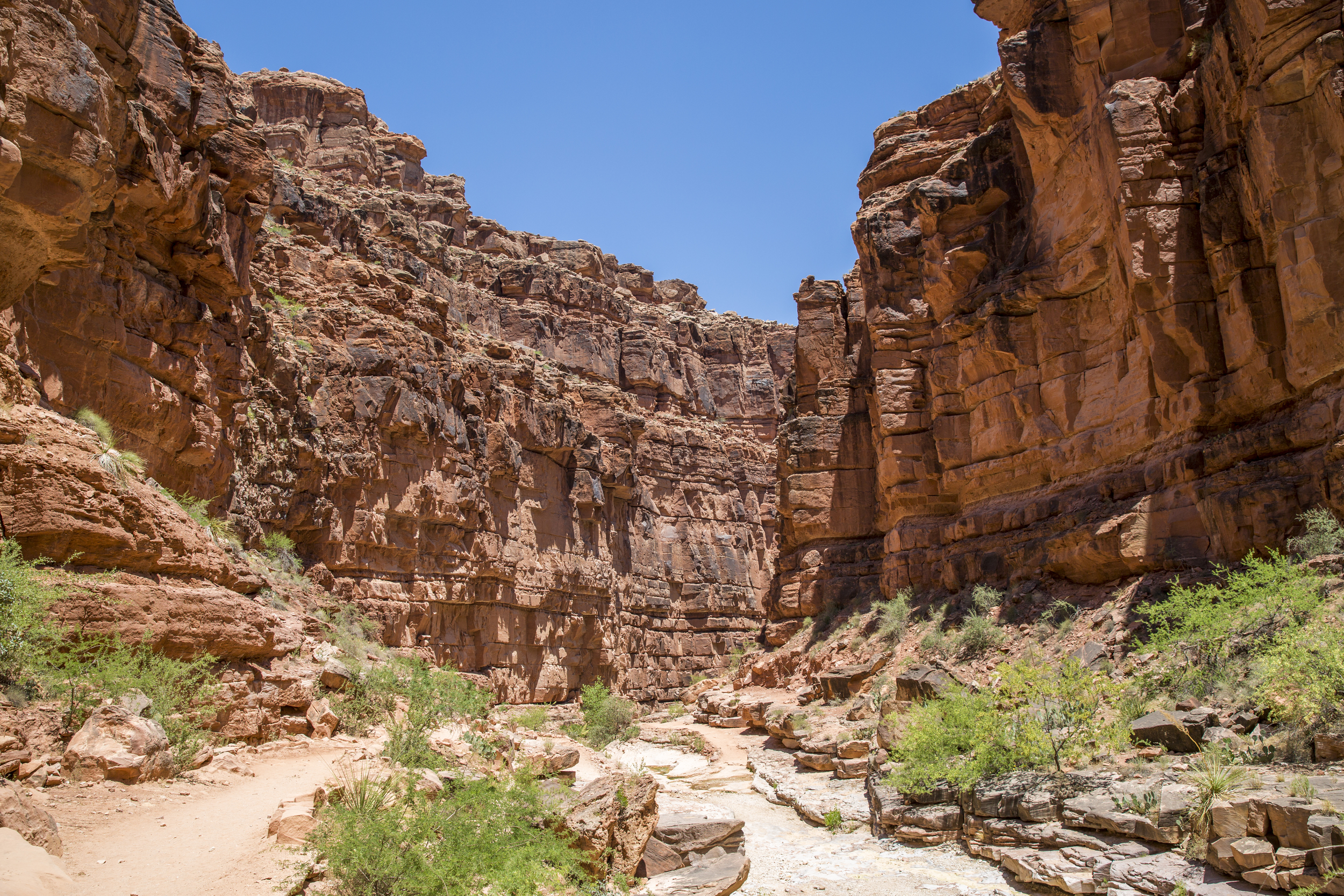
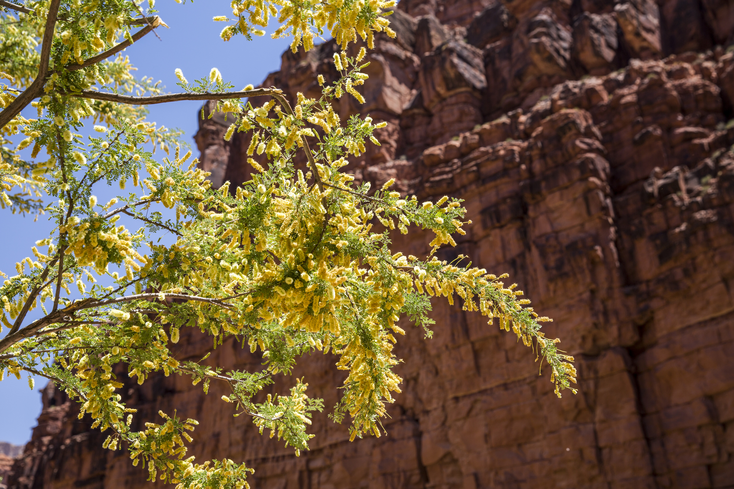
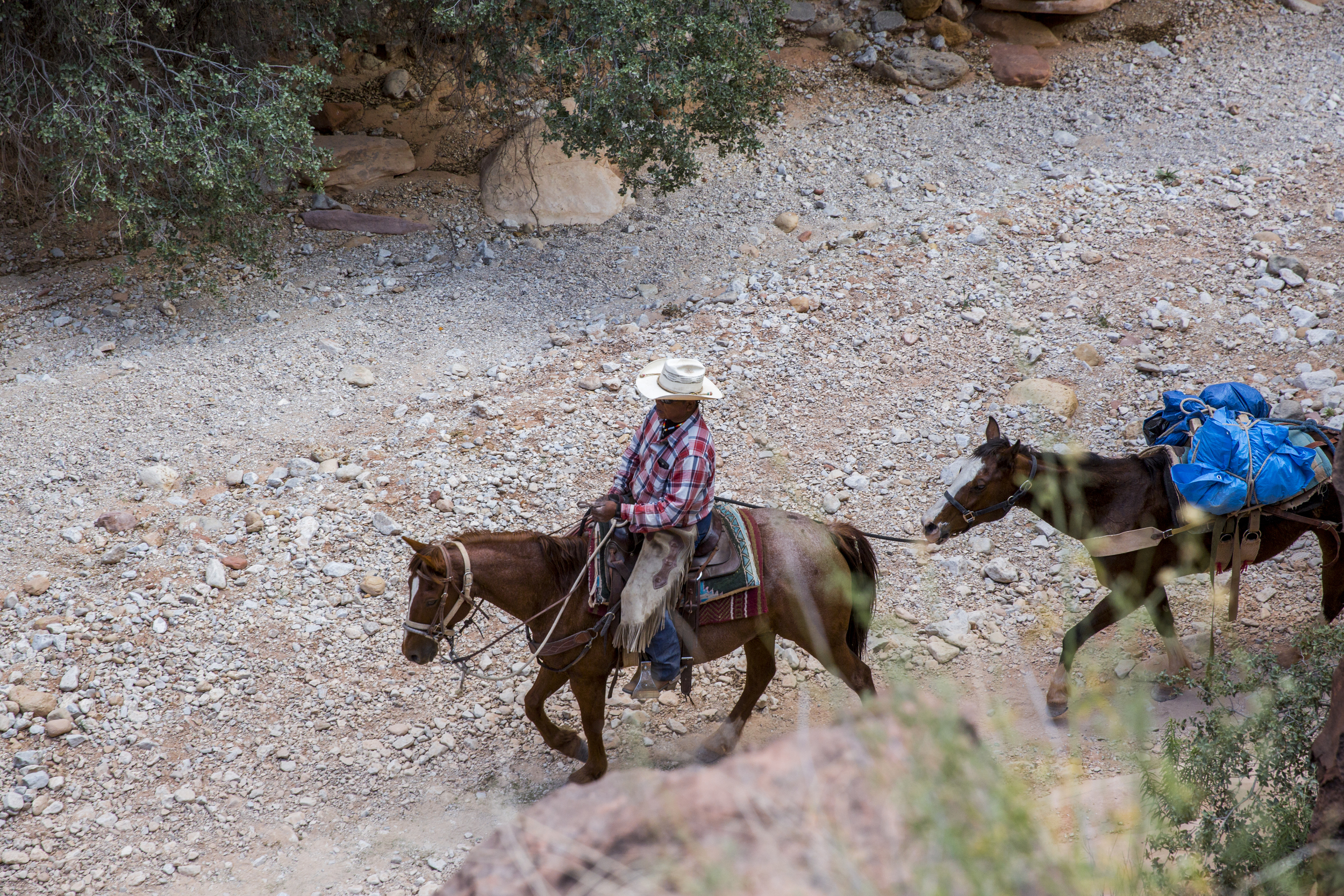
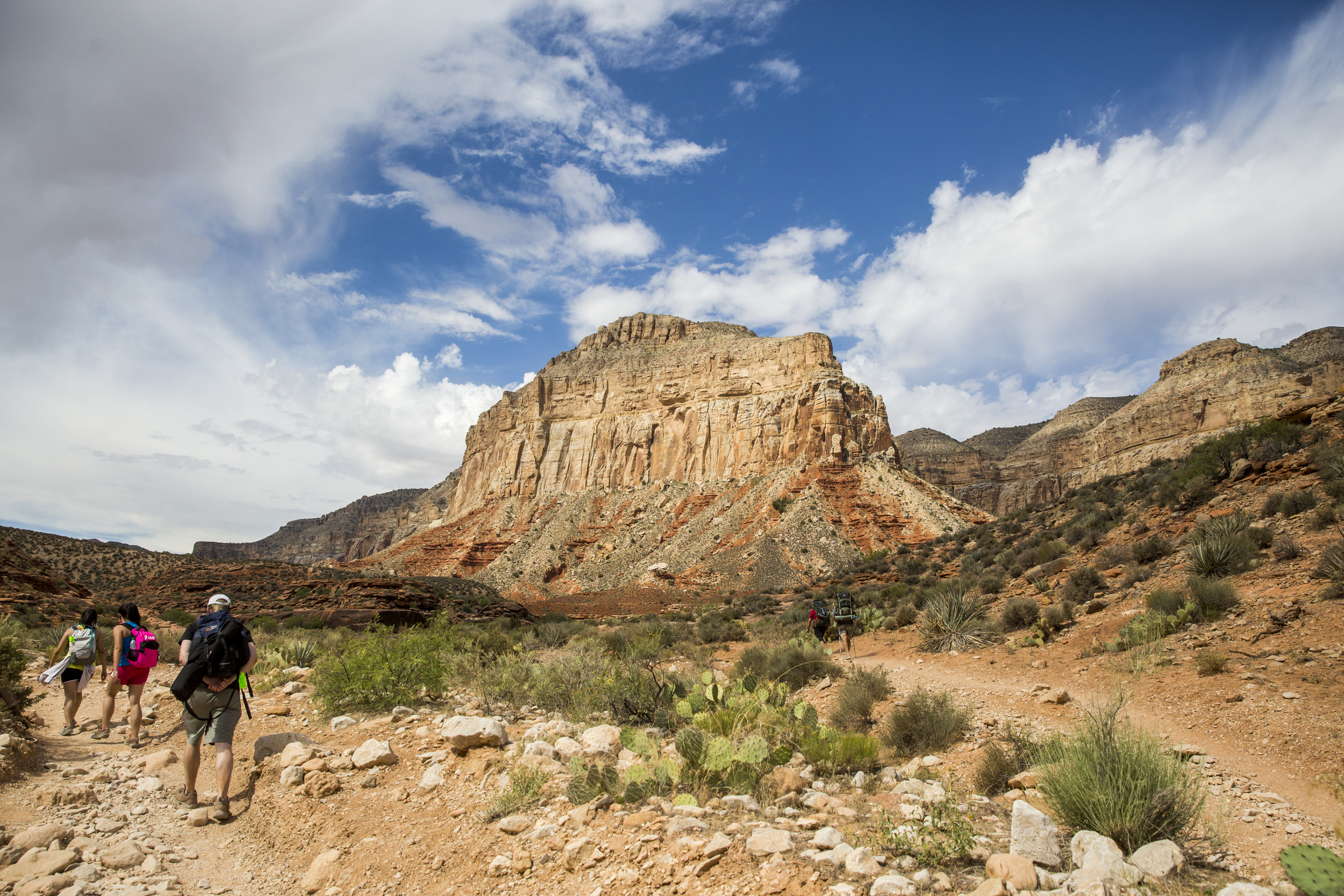
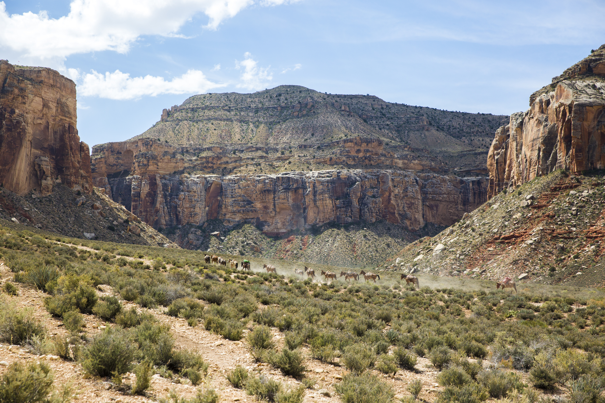
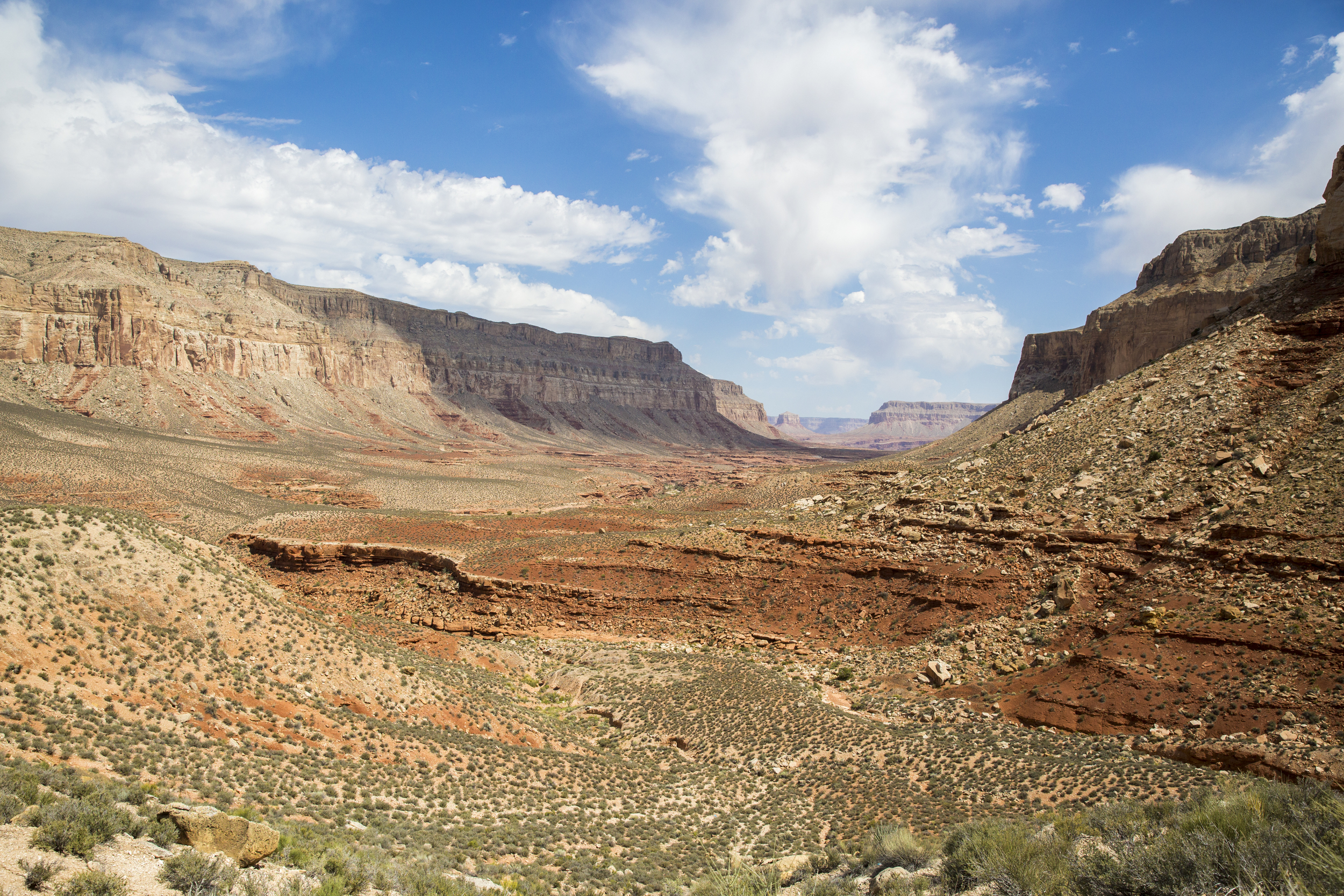
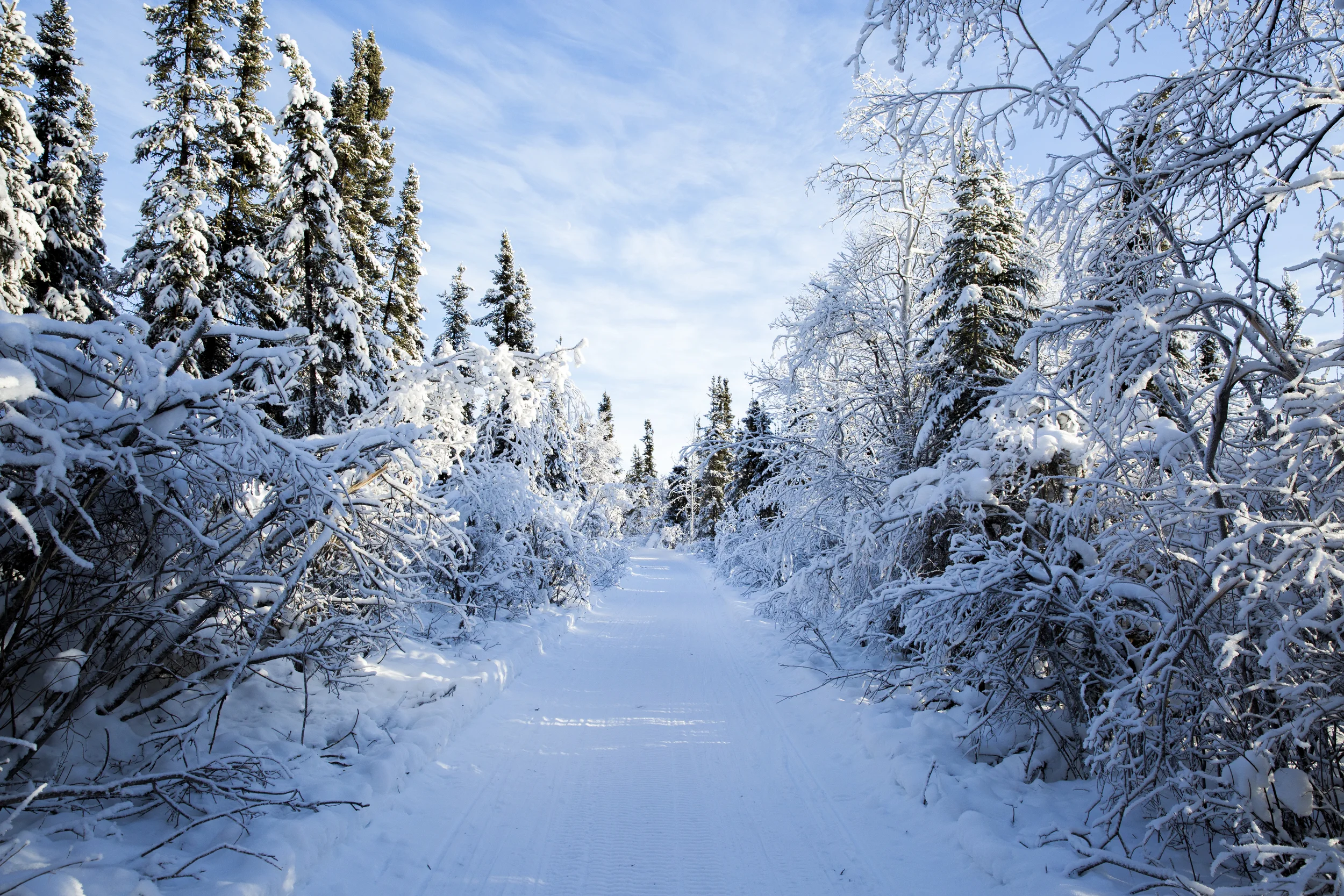
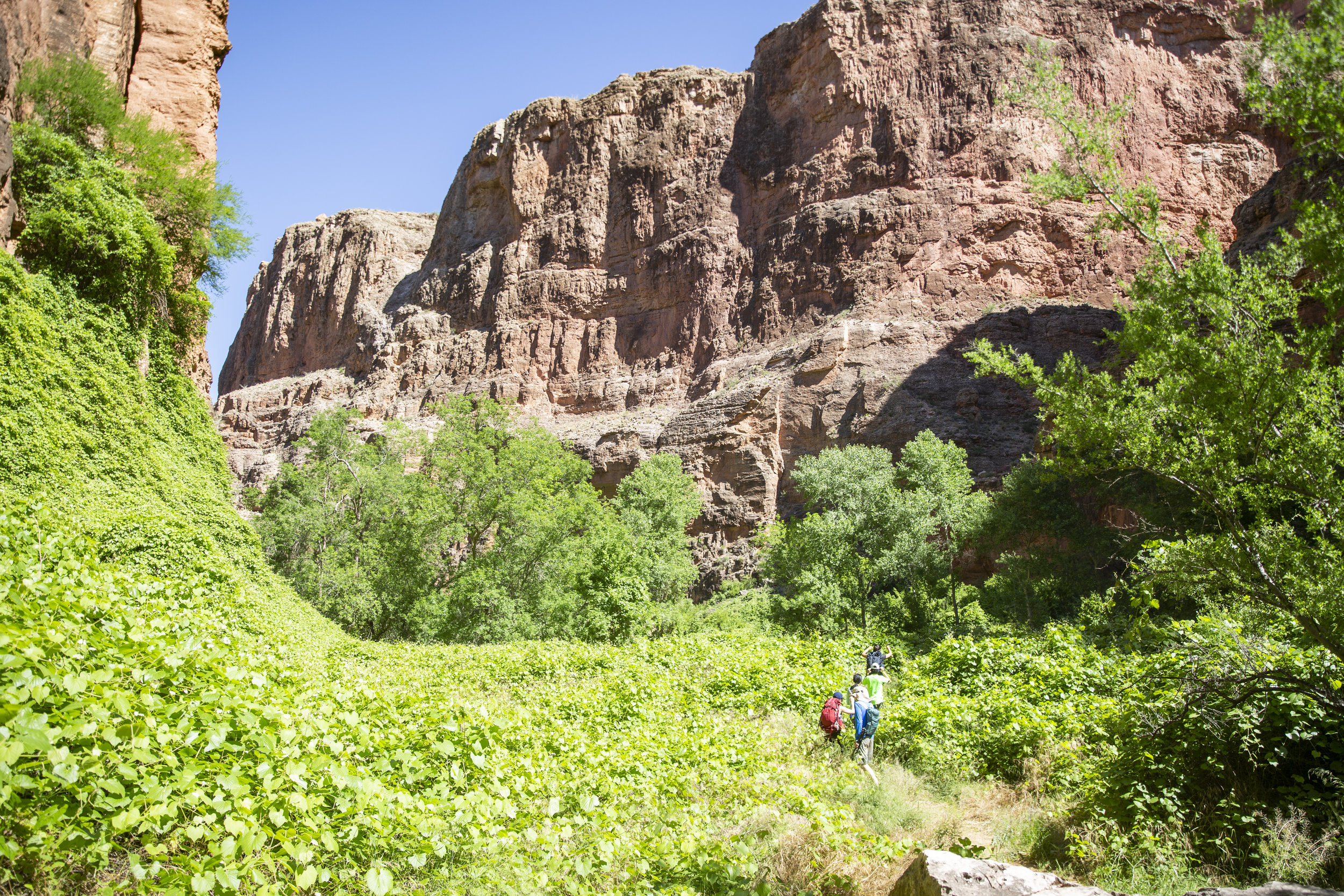
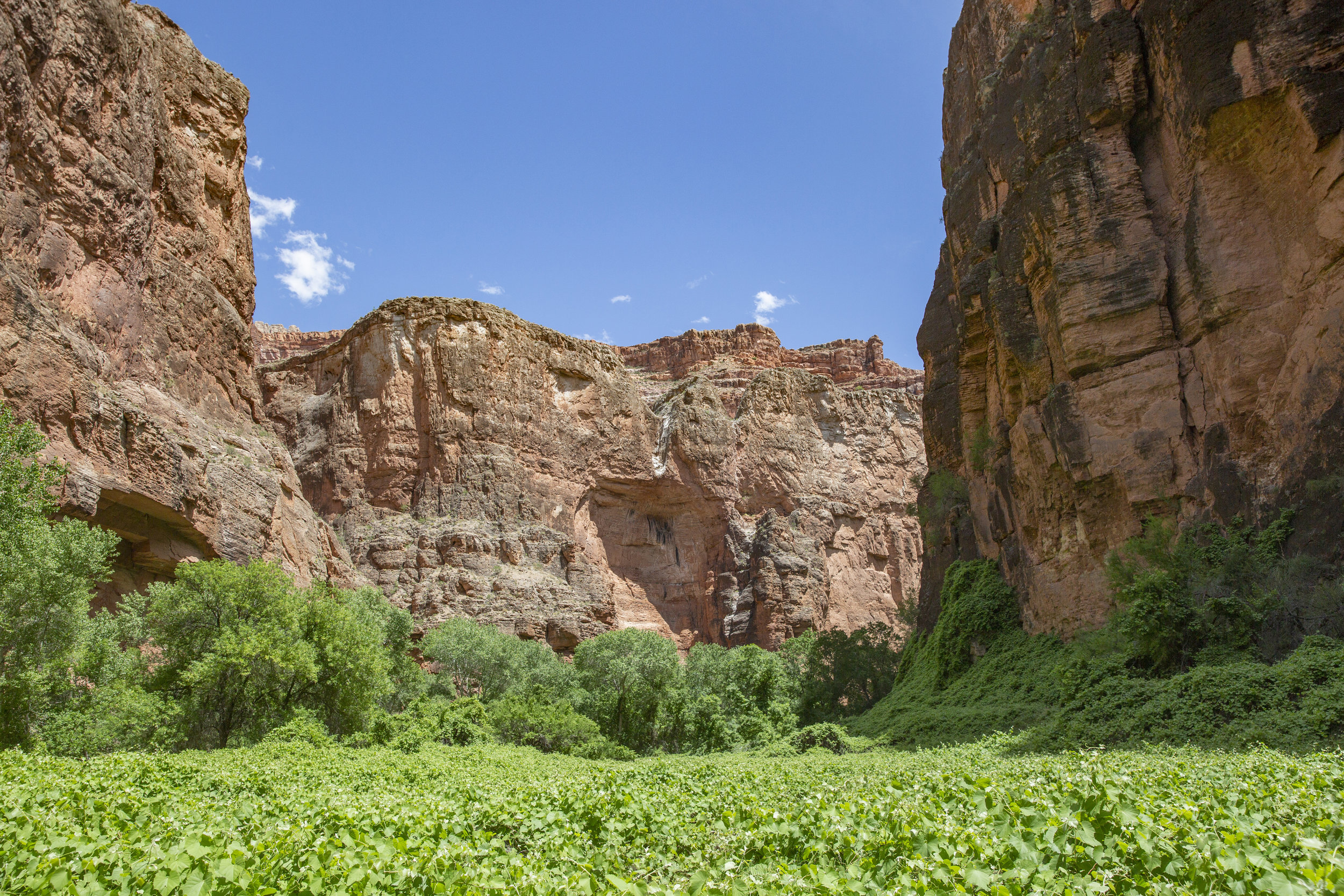
After spending the night at the closet hotel possible, we drove to the hilltop trailhead and started hiking in at around 8am. It is a 10-mile hike, downhill at first for about 2 miles and flat the rest of the way. It took us about 5 hours to reach the campsite (which is additional 1 - 2 miles after reaching the village) with our heavy backpacks.
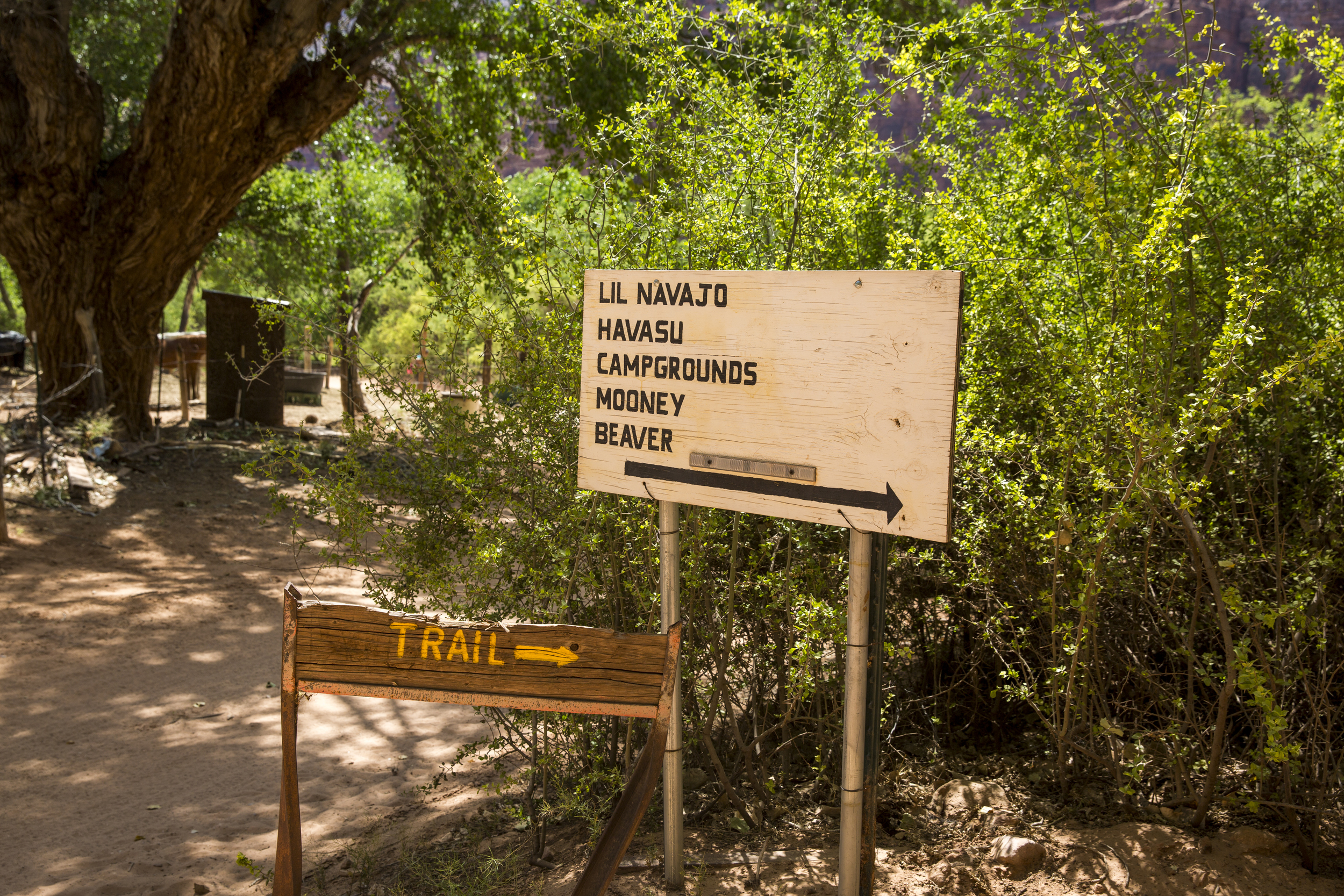
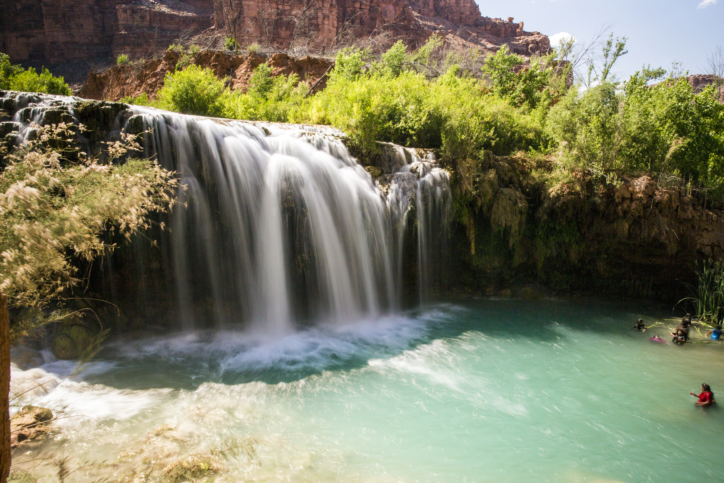
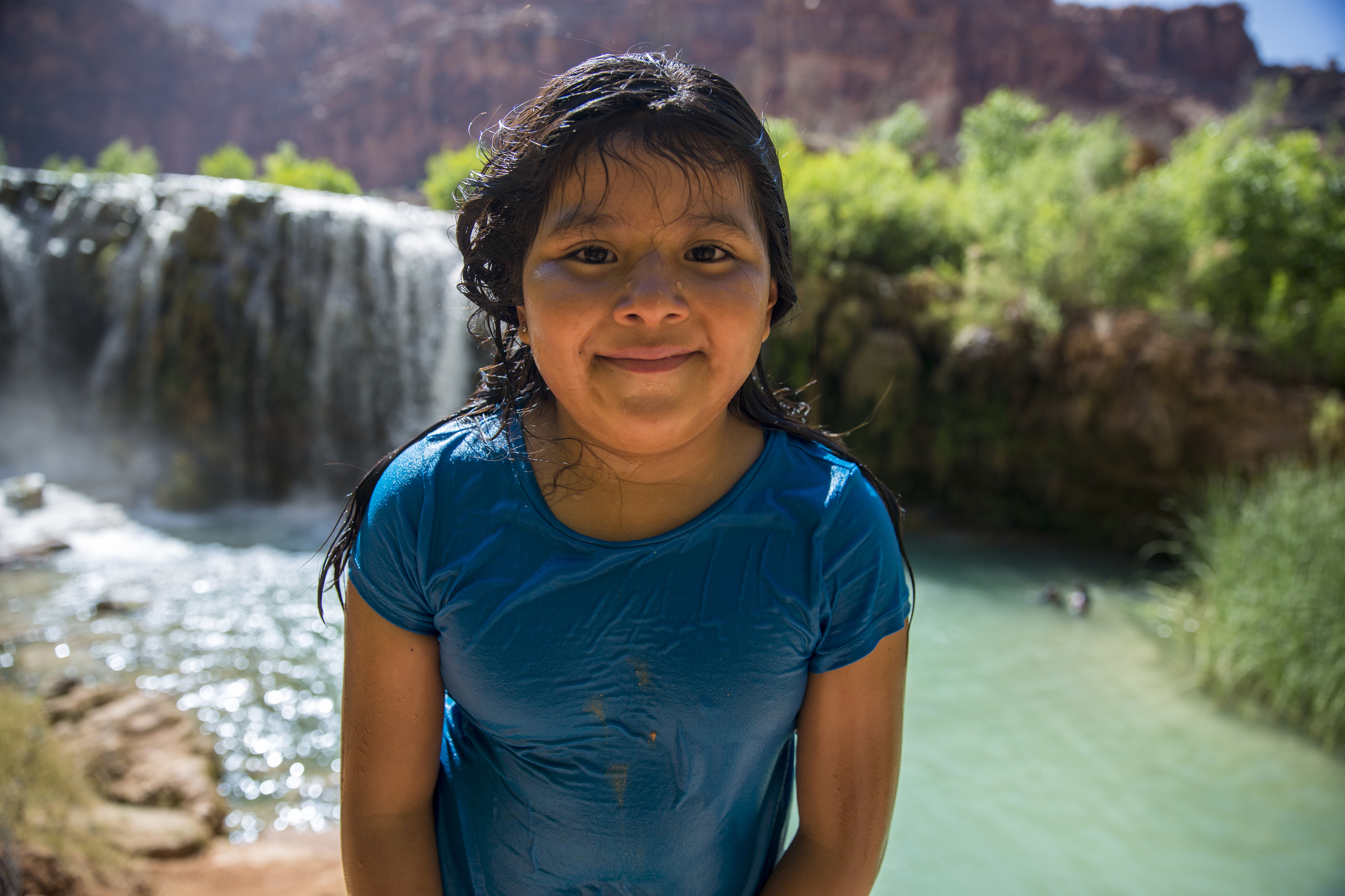
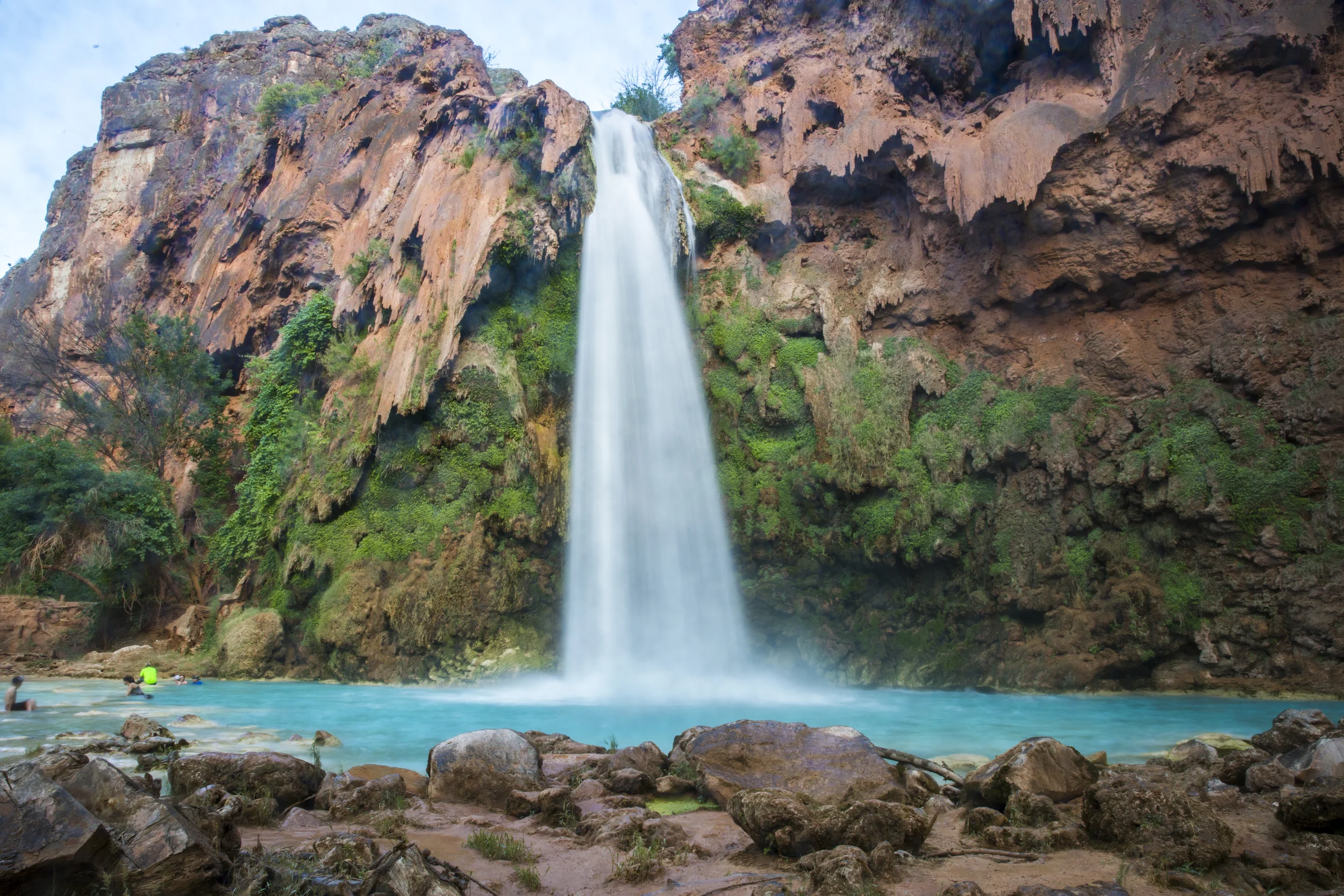
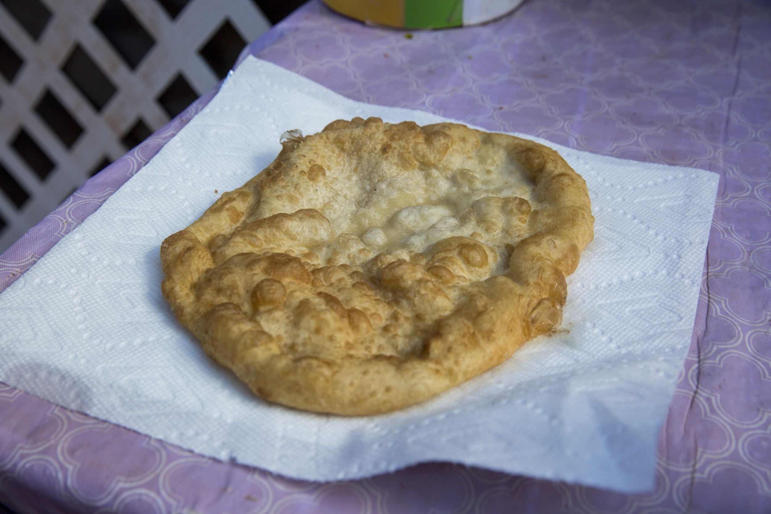
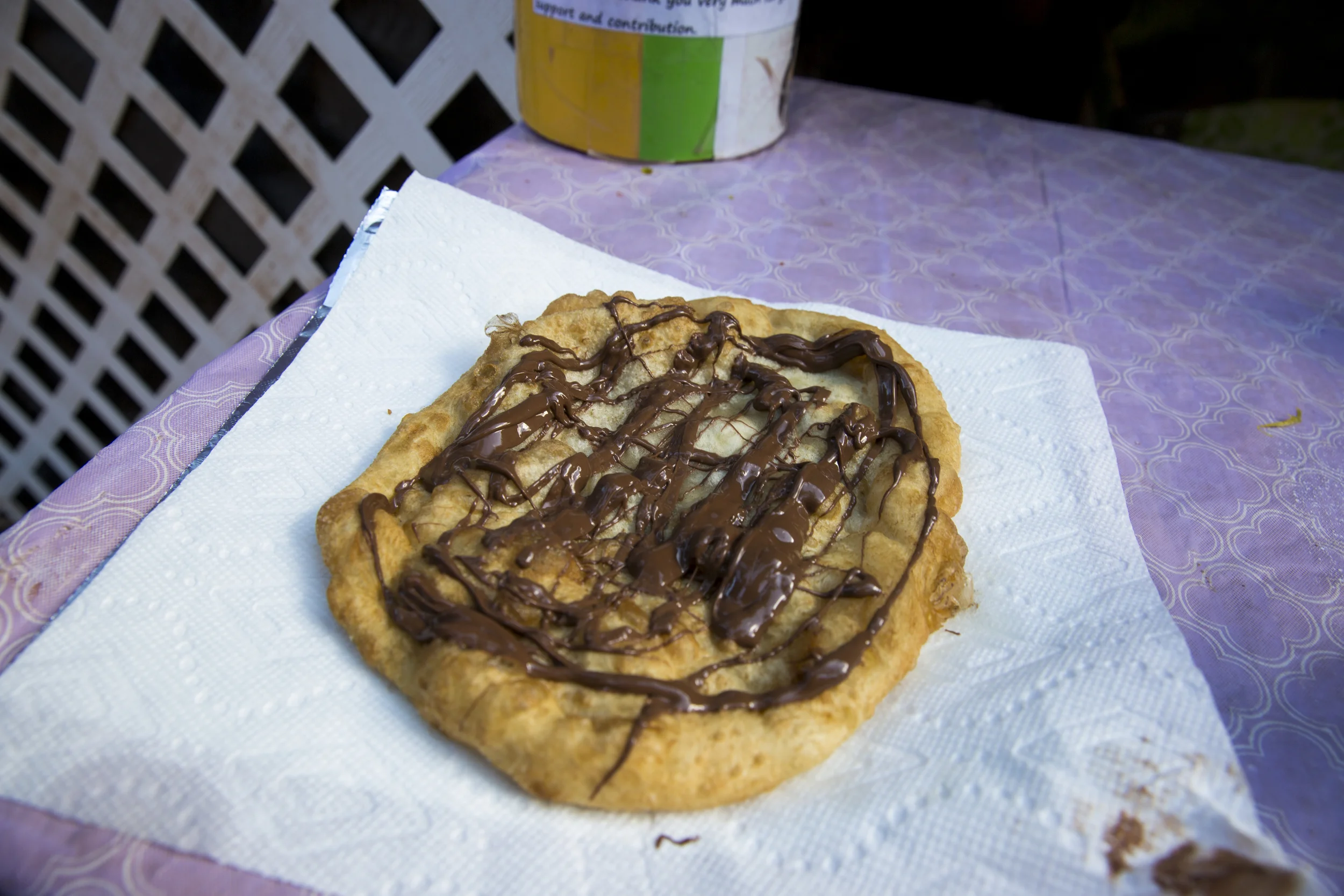
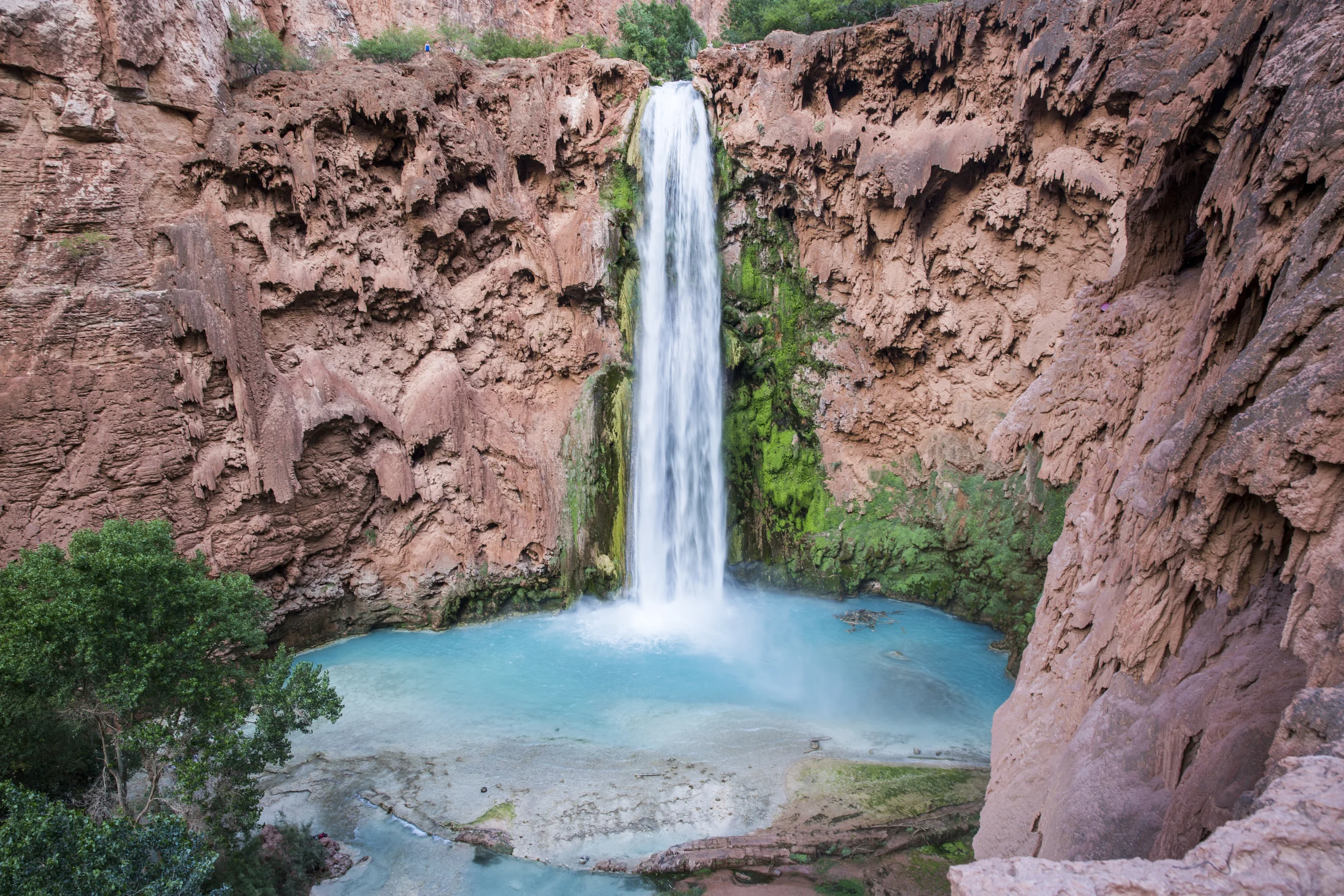
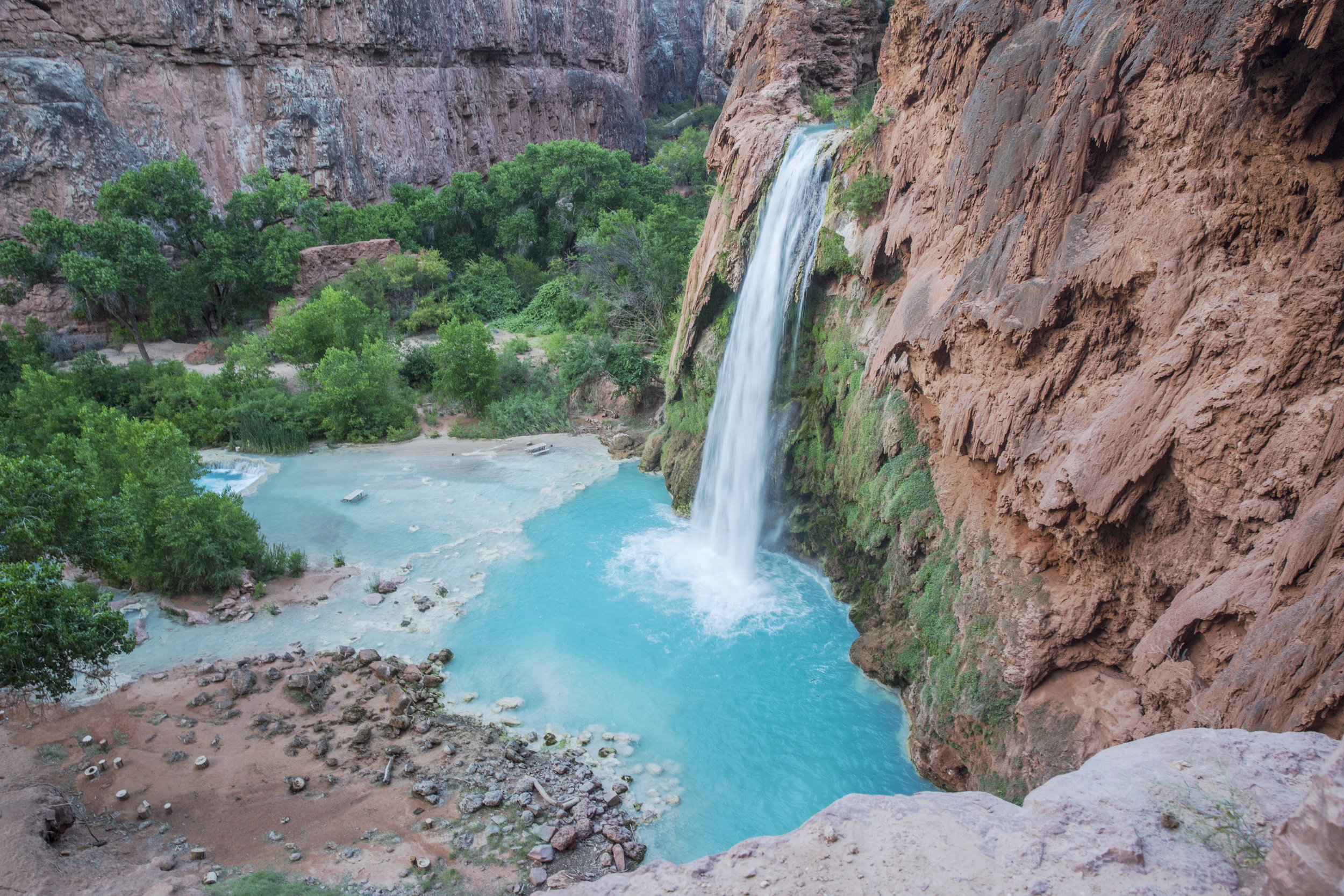
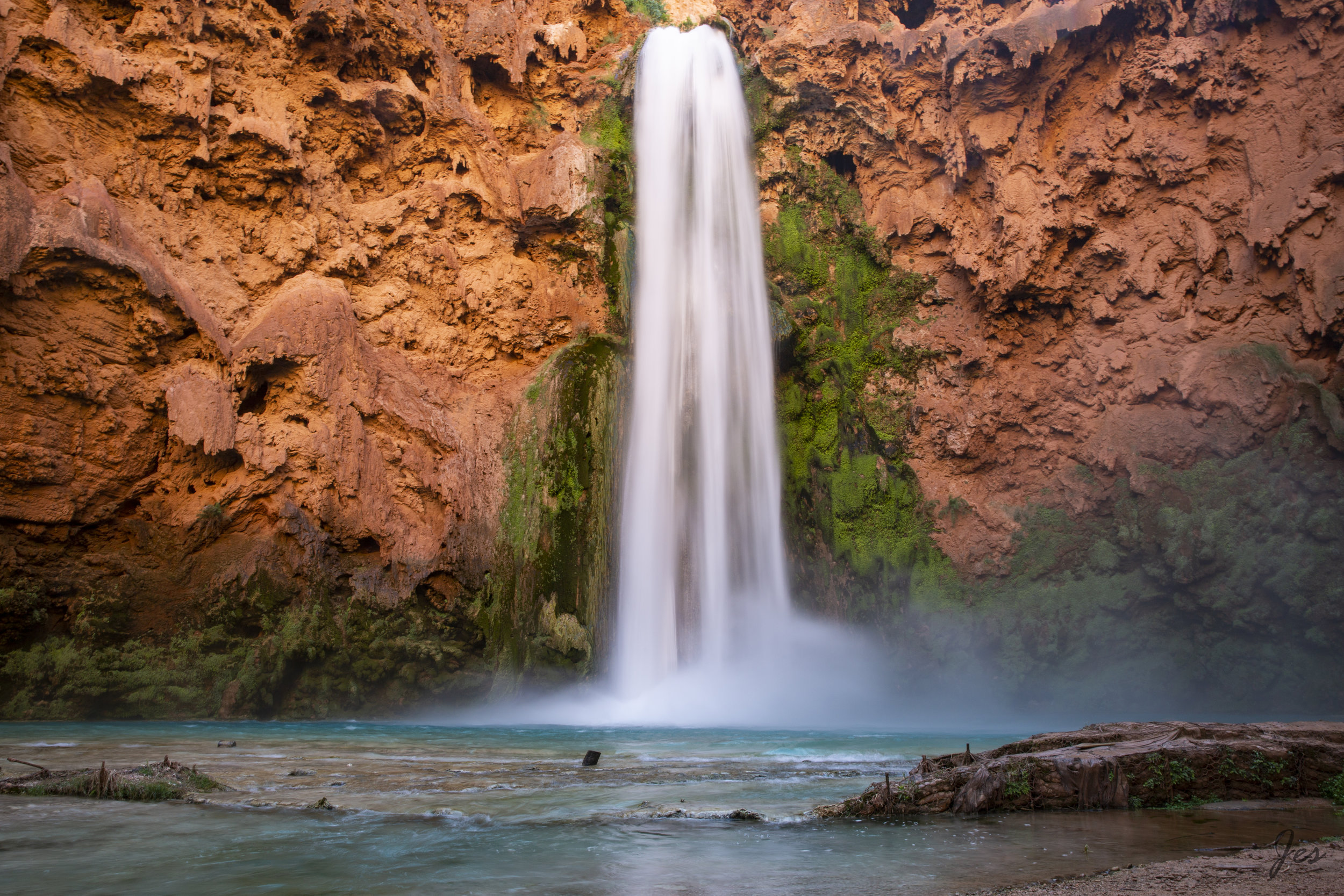
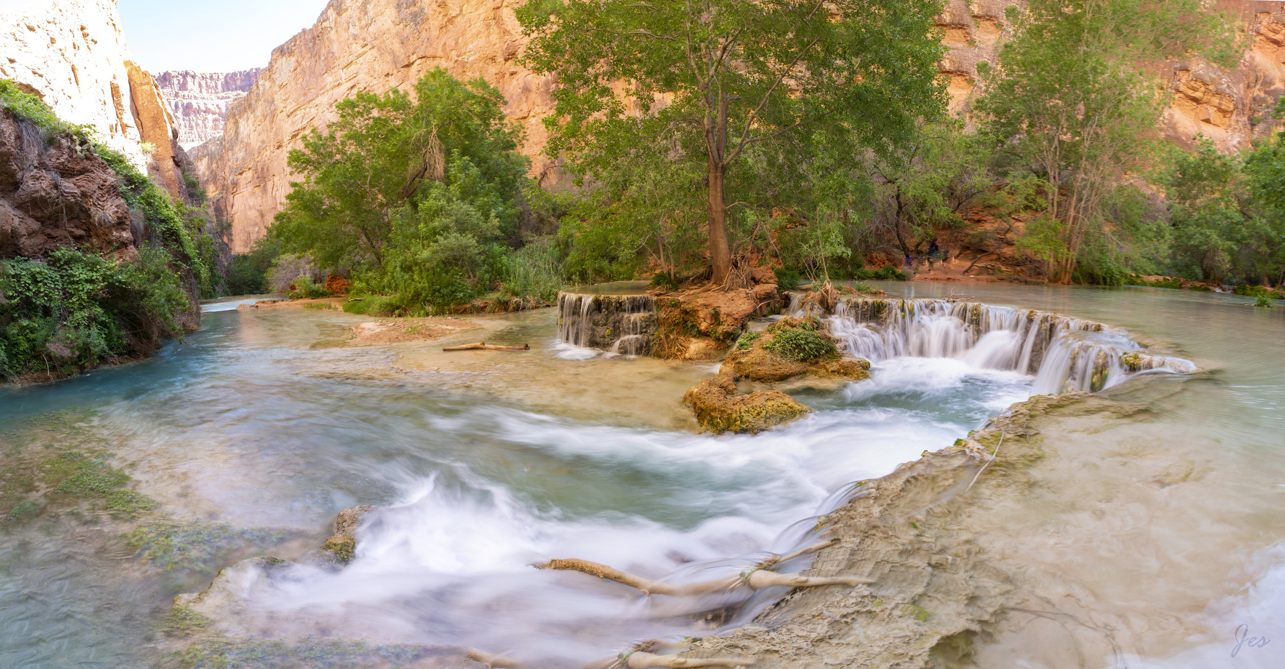
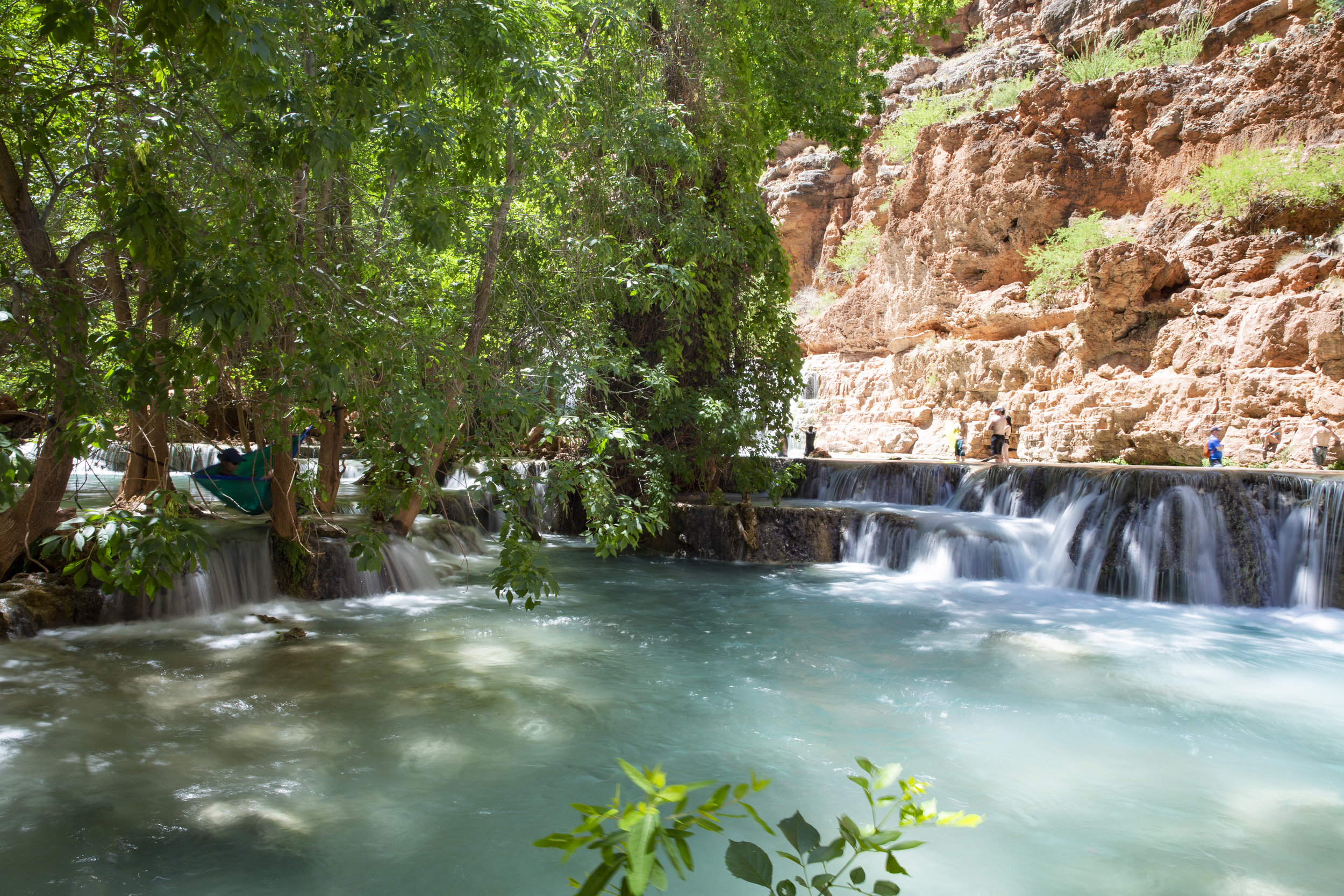
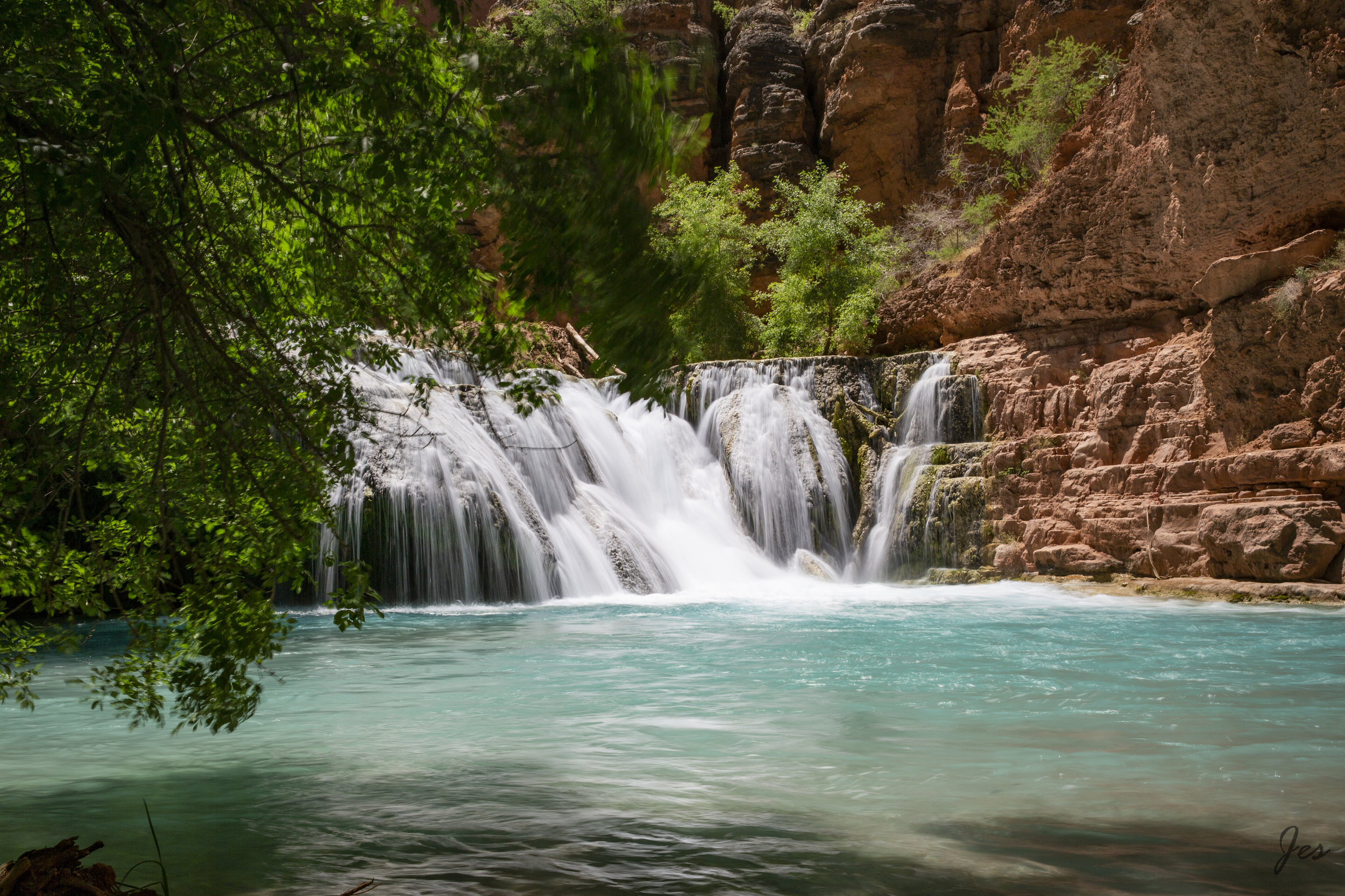
The campsite is conveniently located quite close to the Havasu fall, so after we set up our camps, we went there for a swim and chill for the rest of the night.

T67A4291.jpg

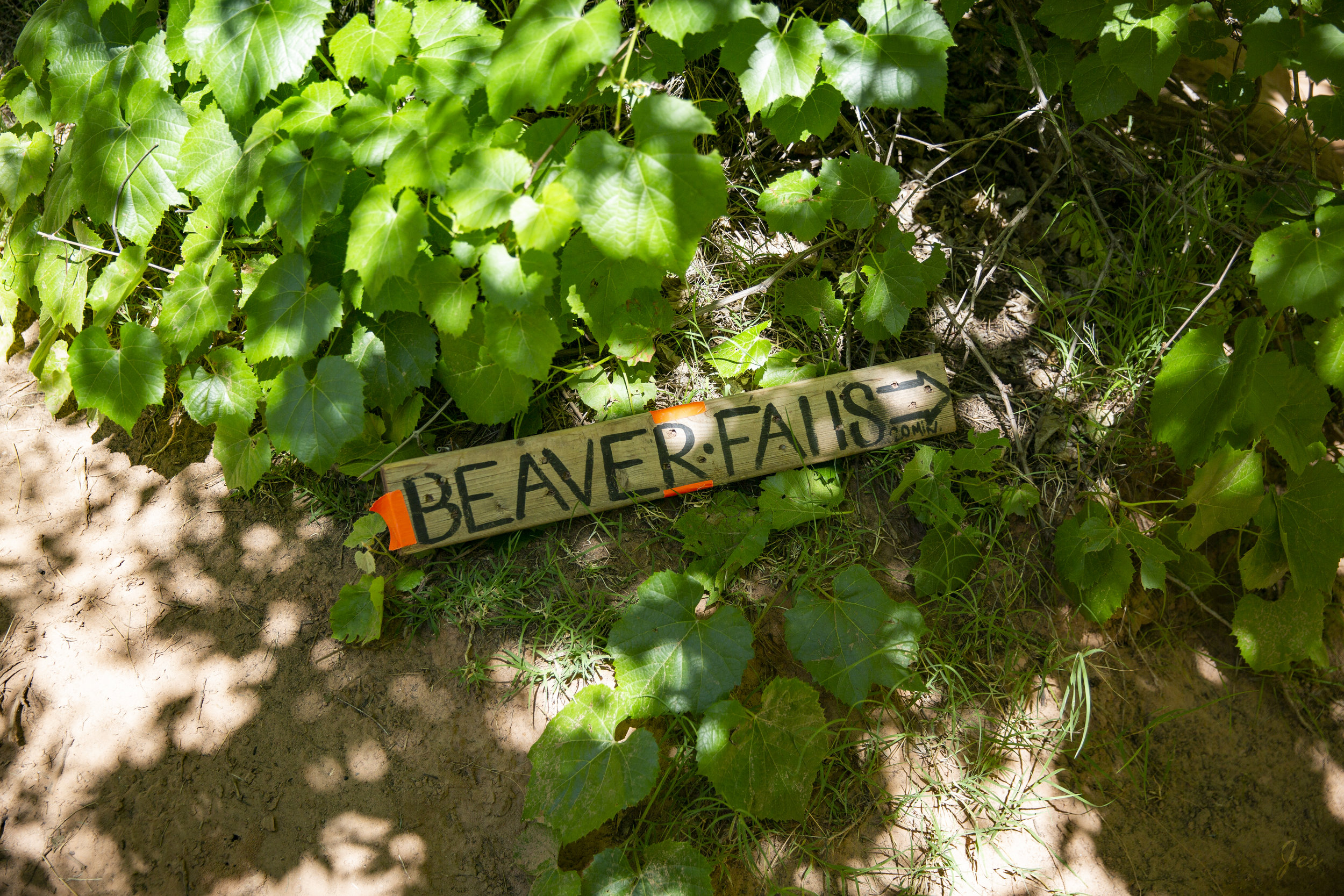
Day 2 - Hiking to the Beaver falls

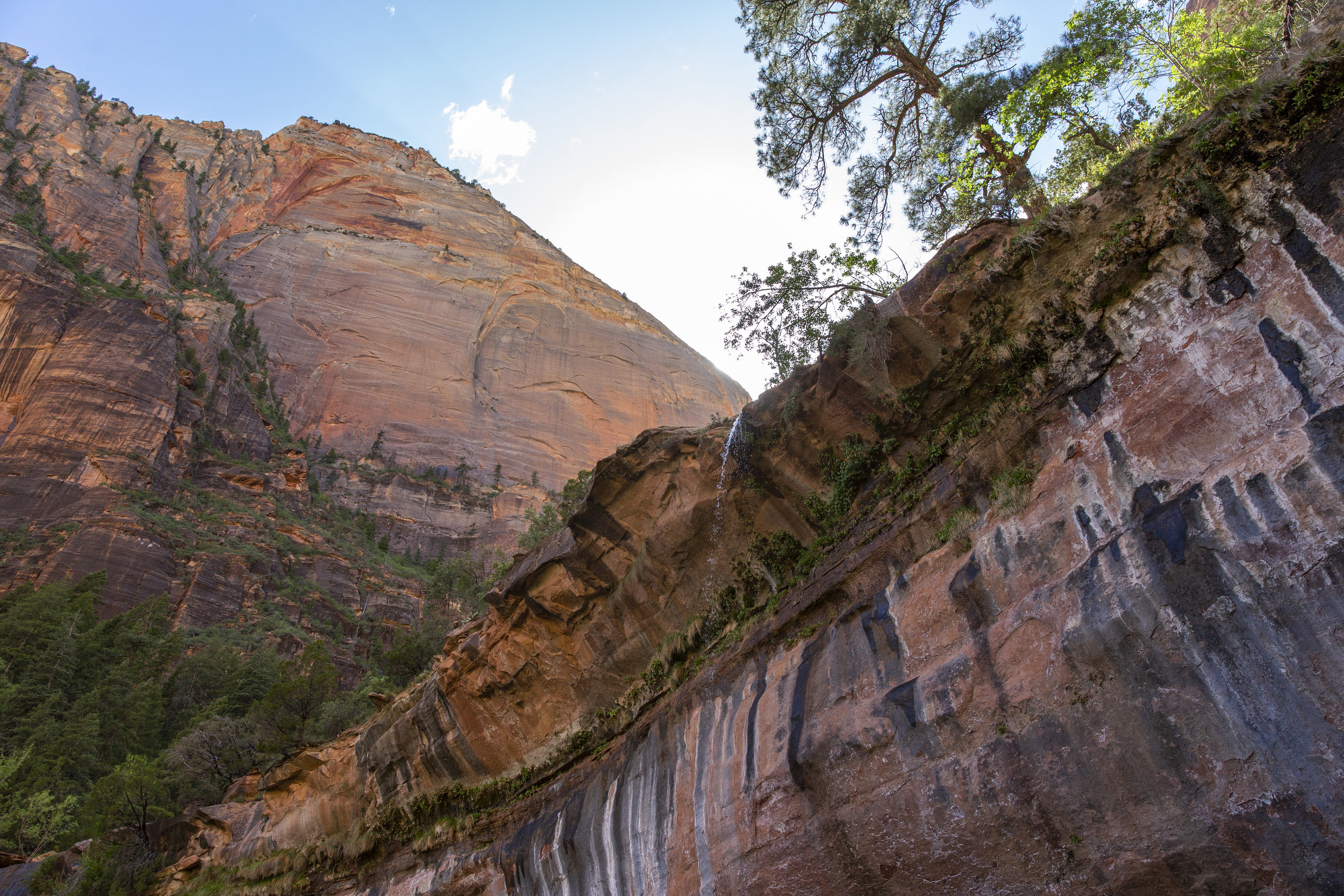
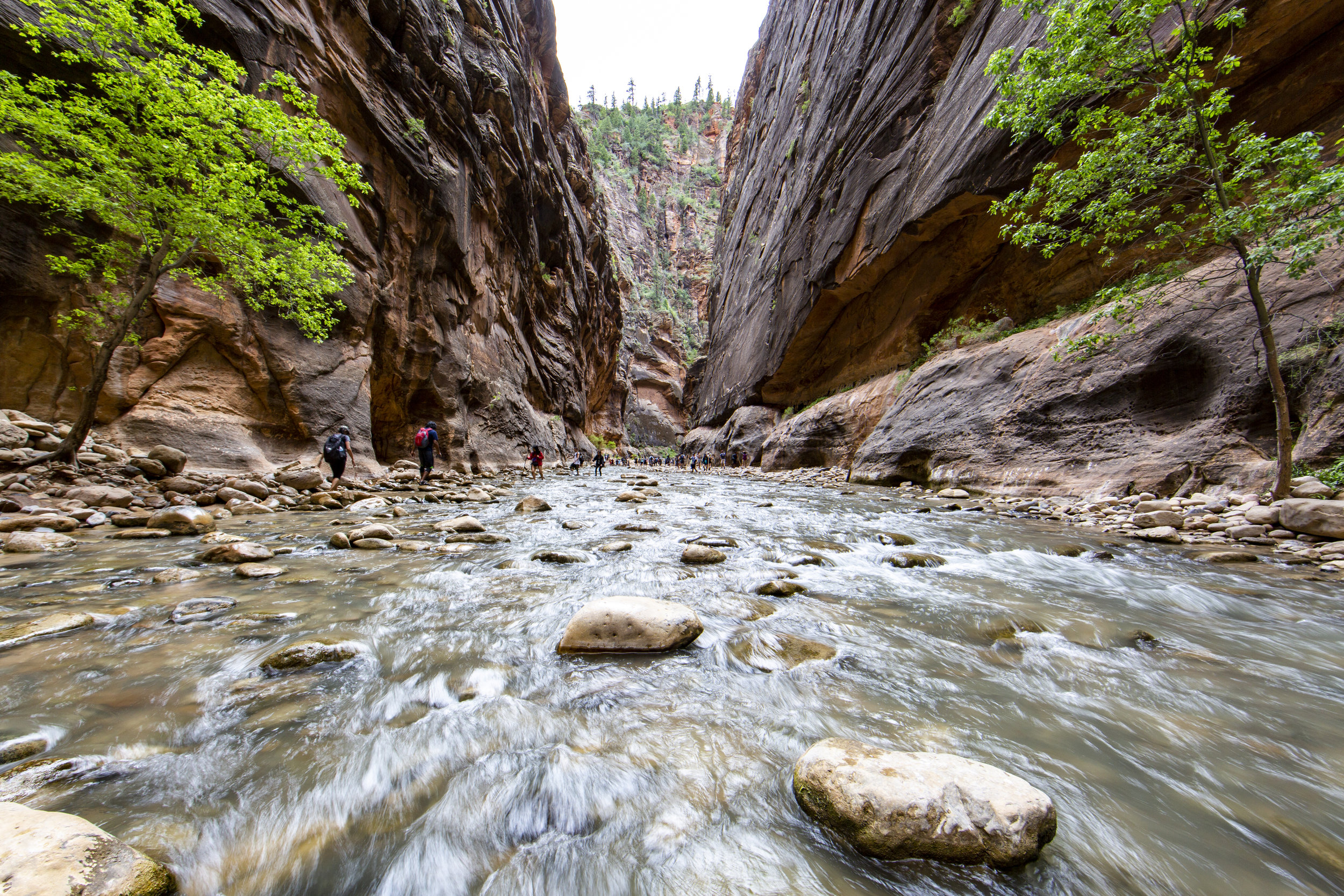
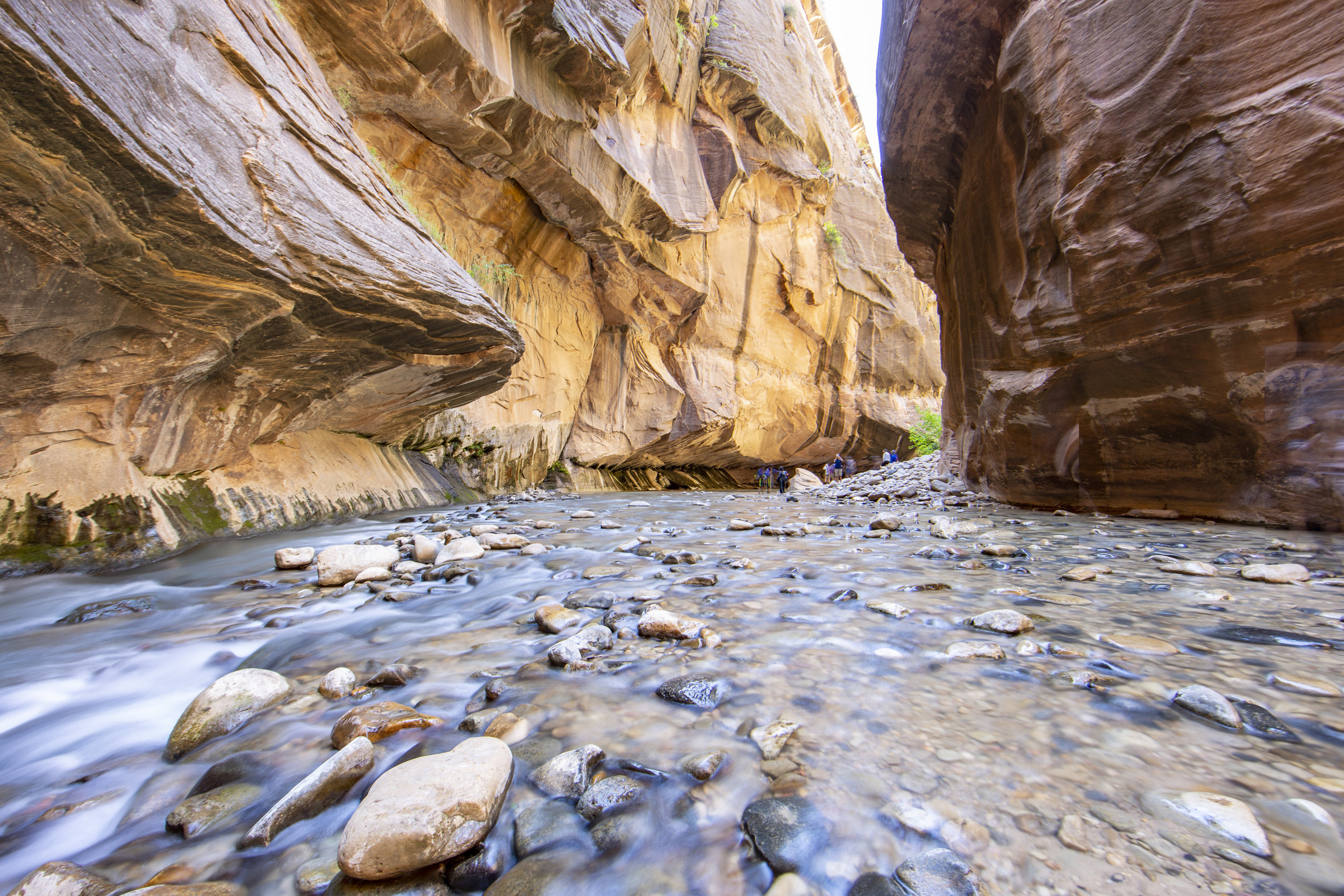
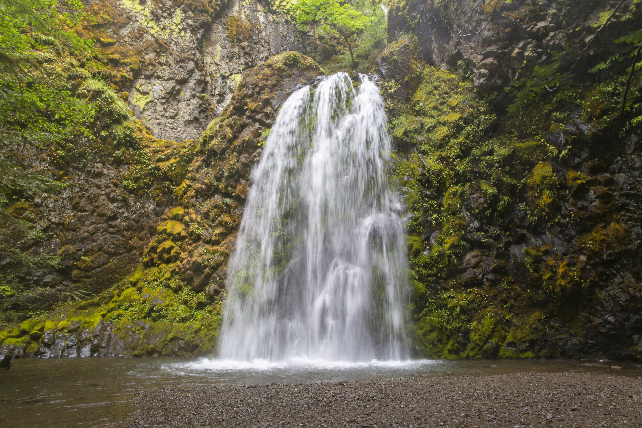
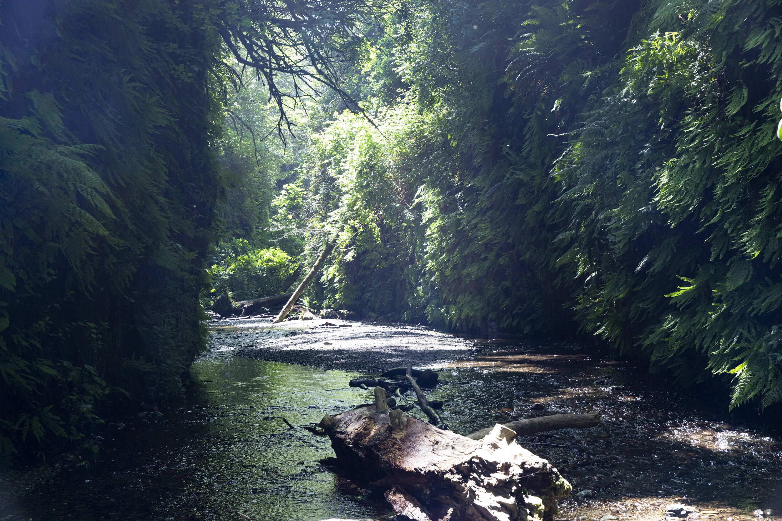
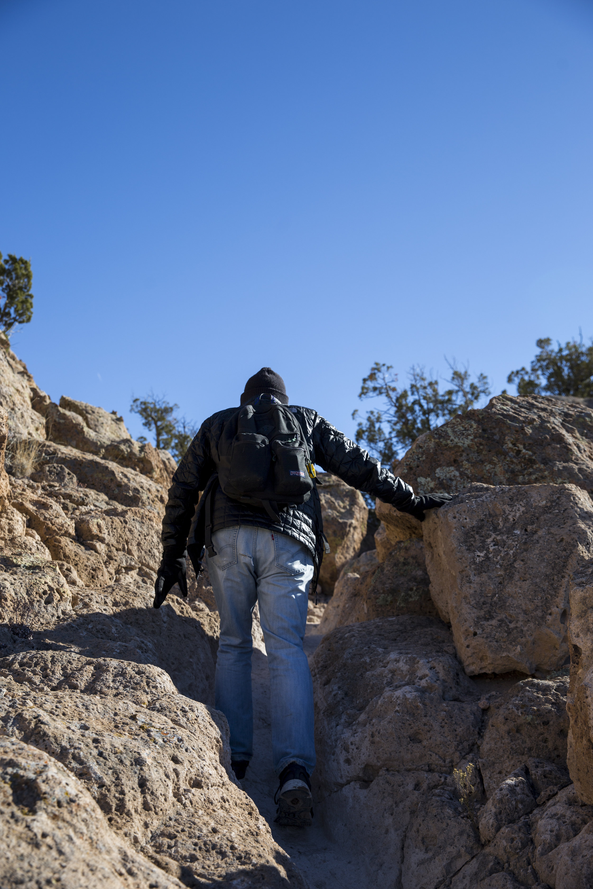
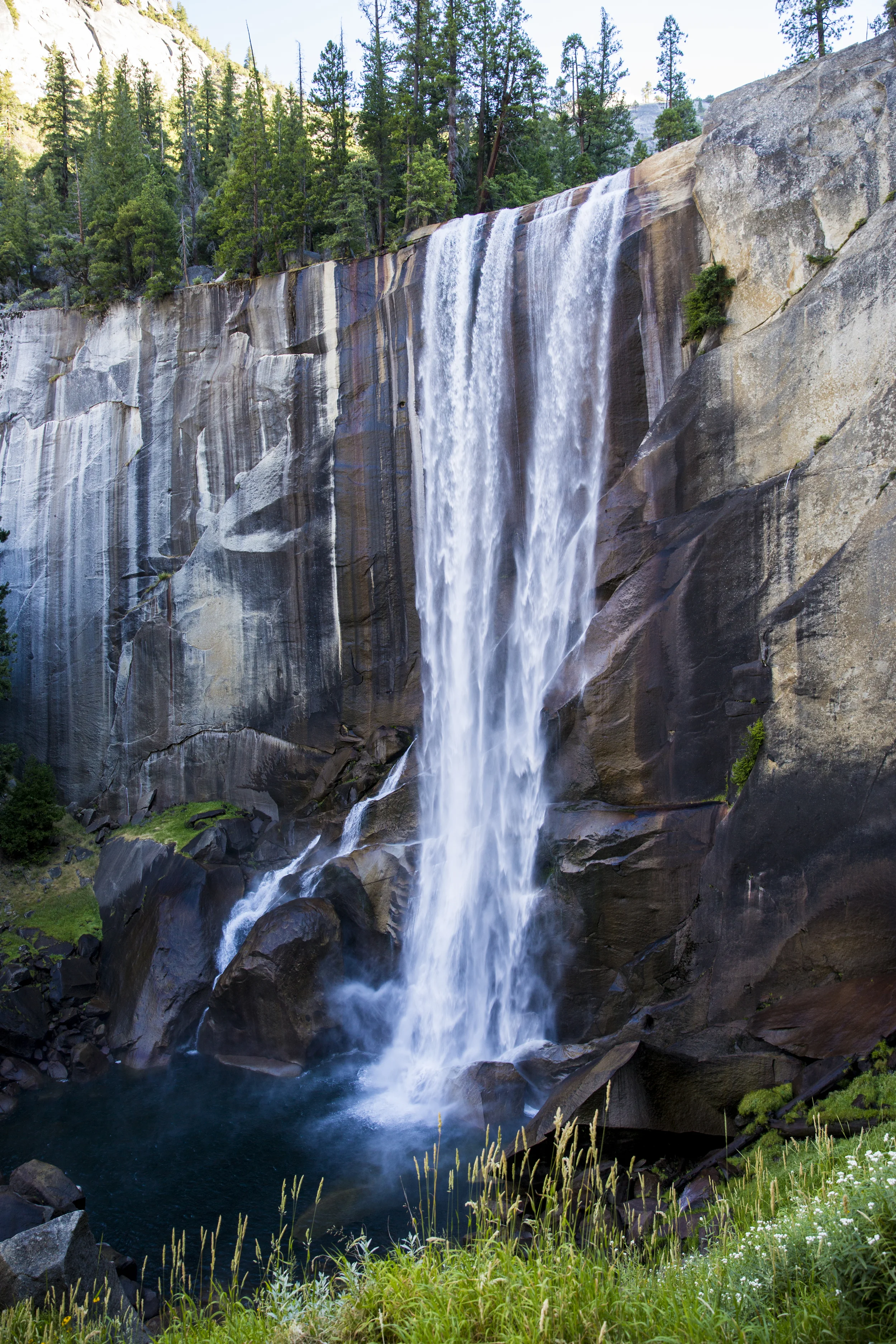
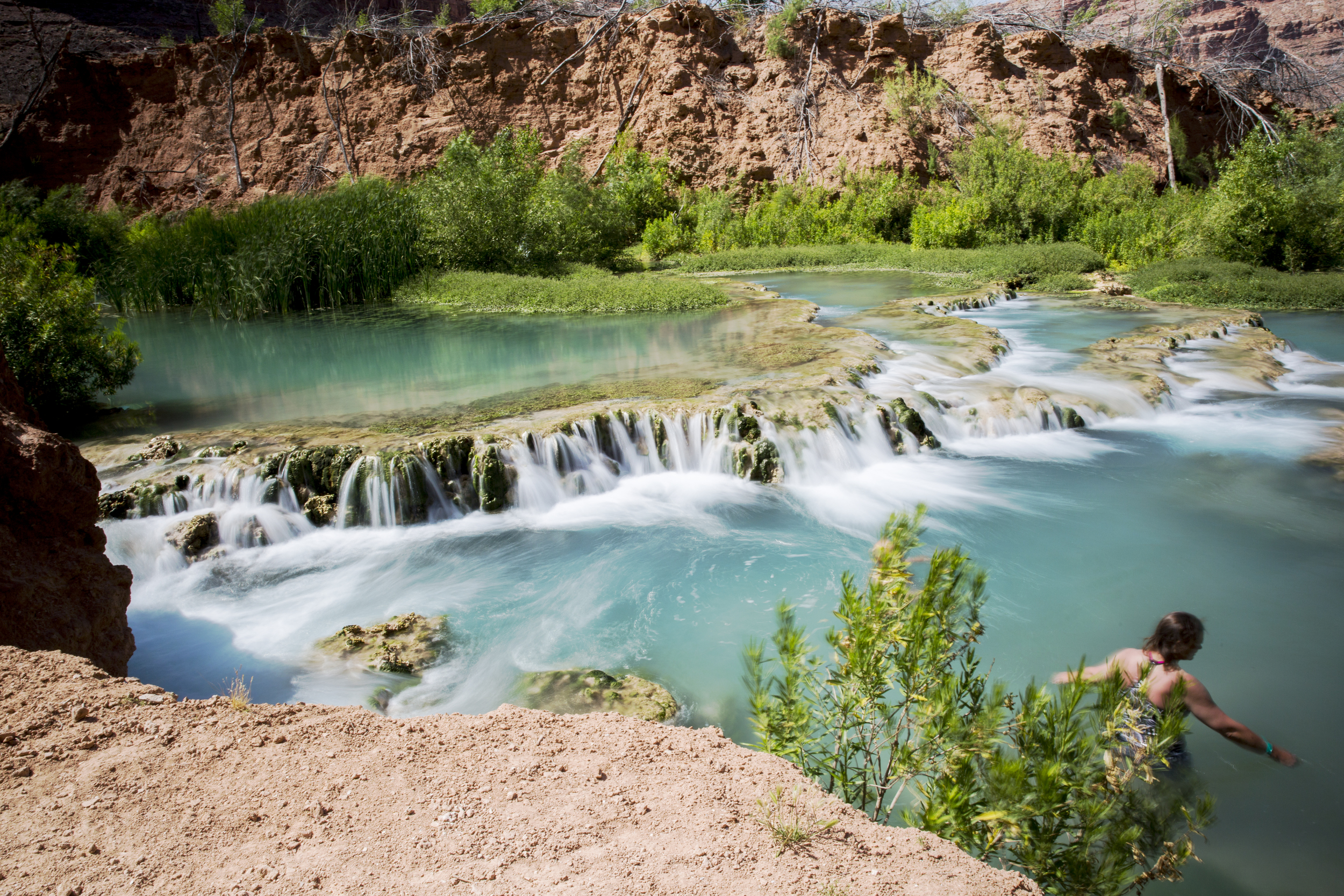
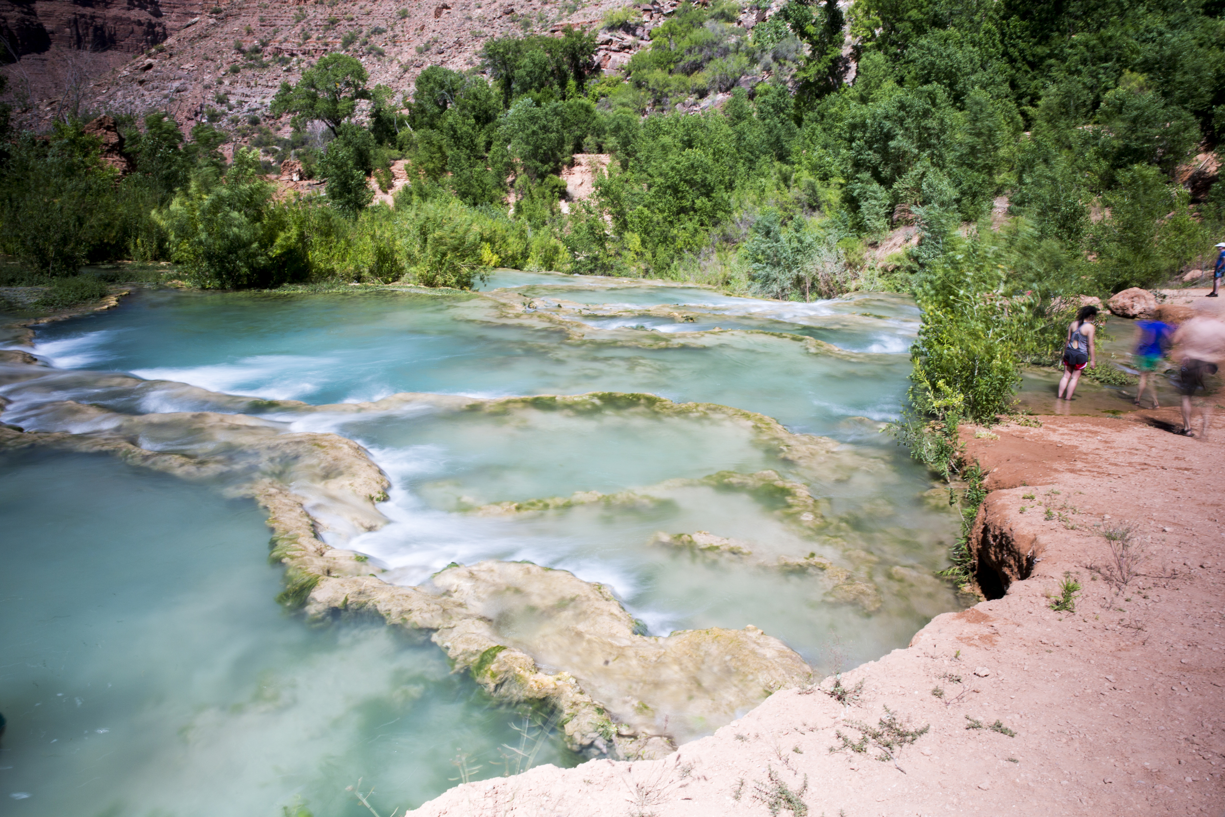
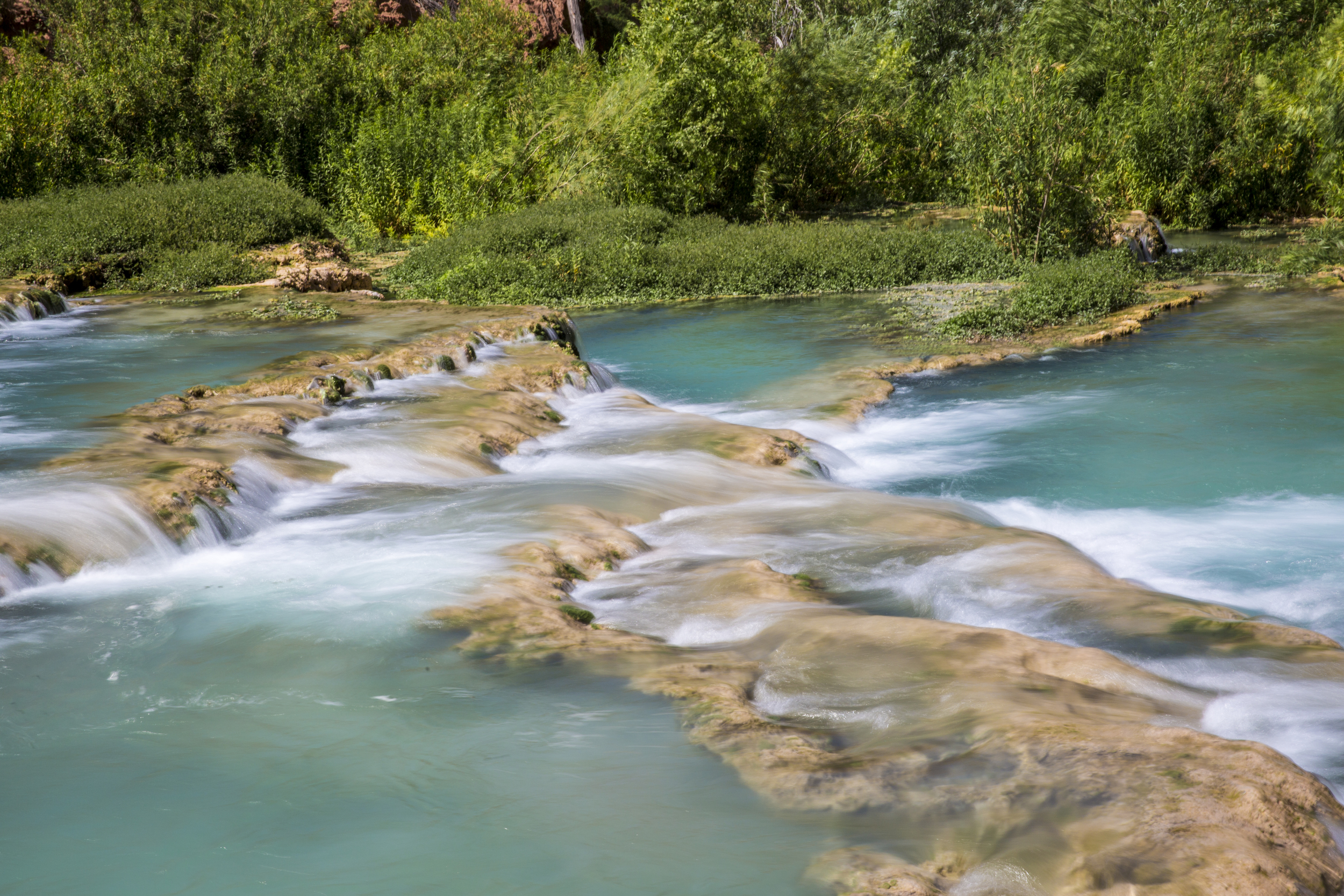
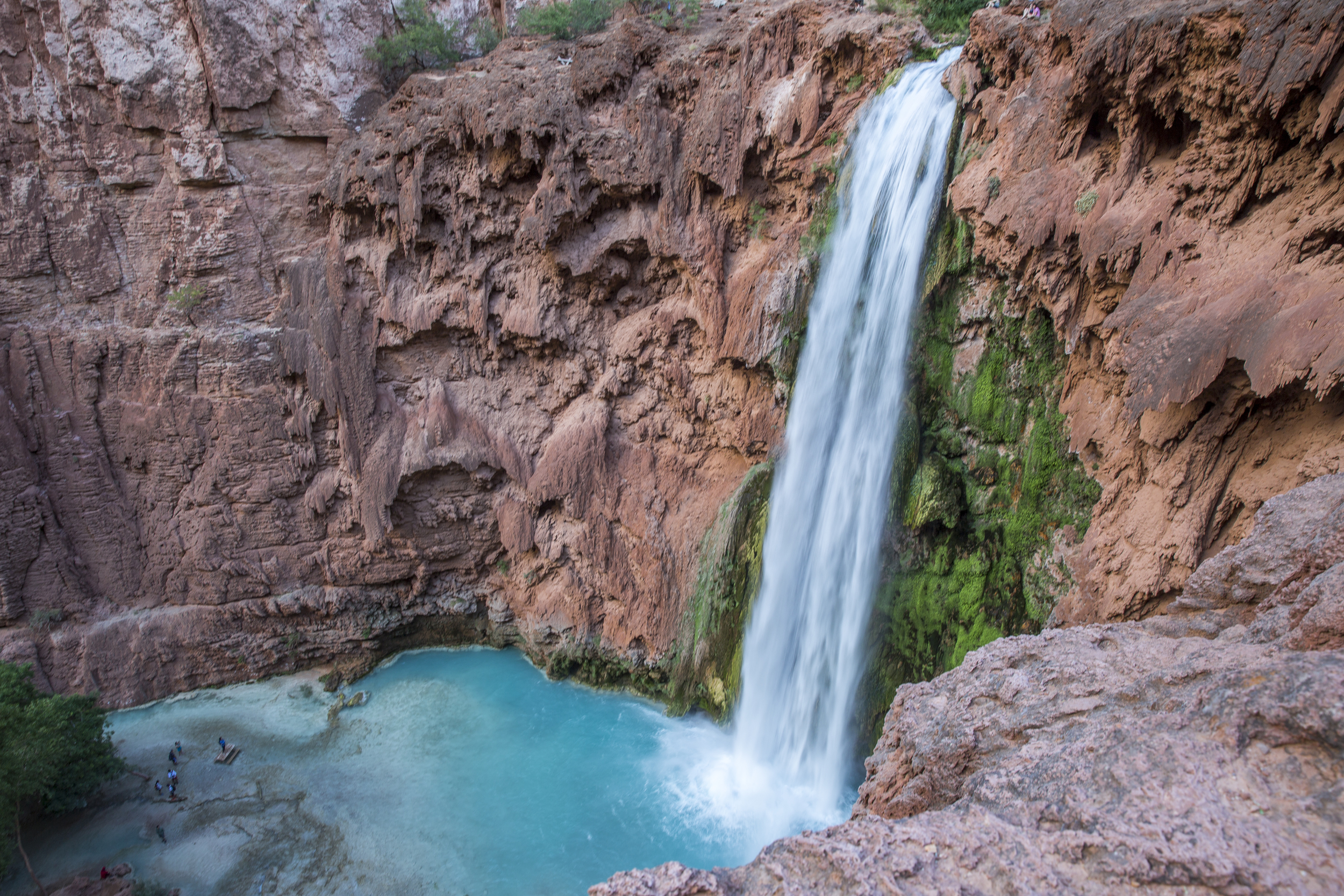
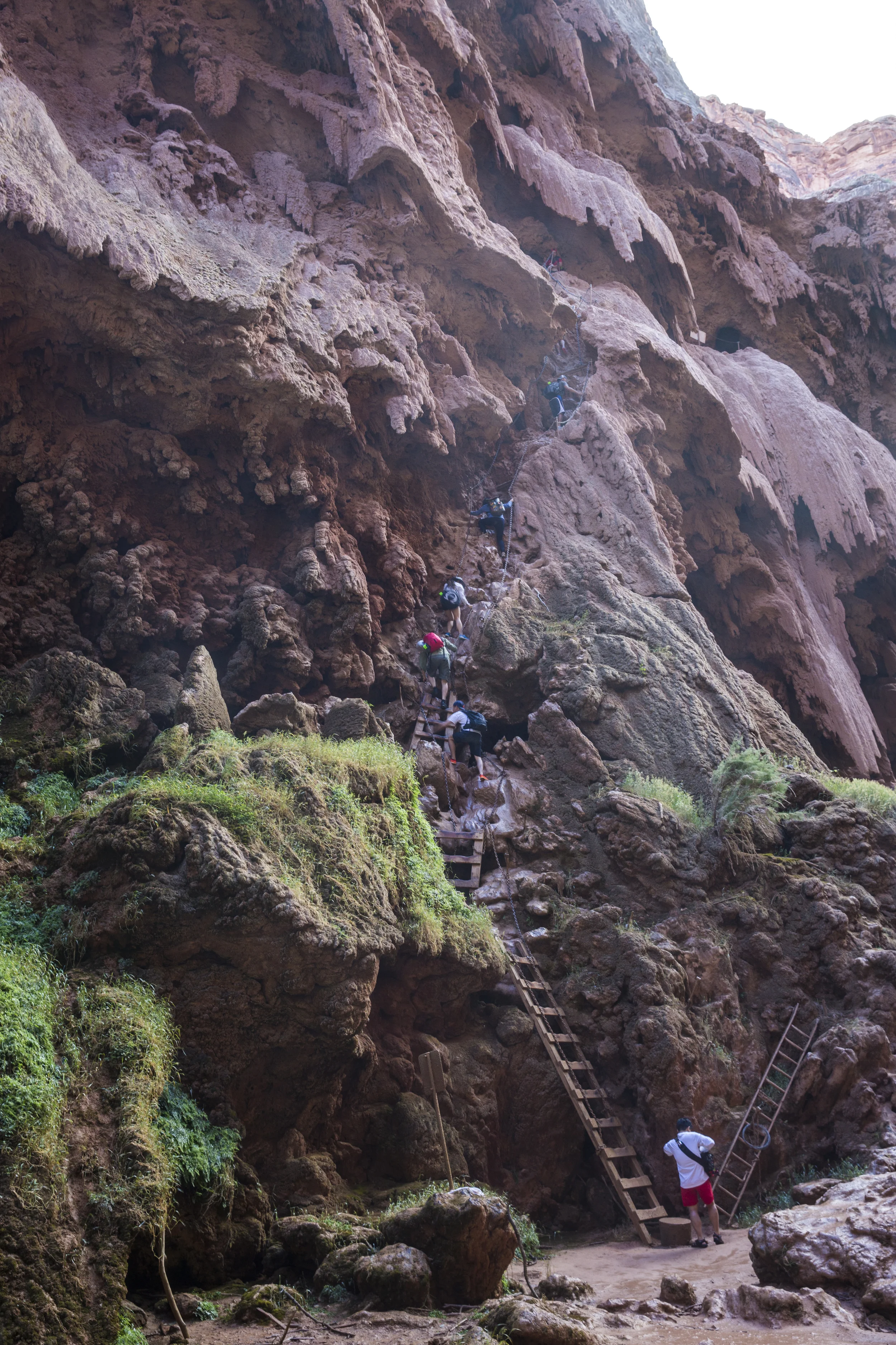
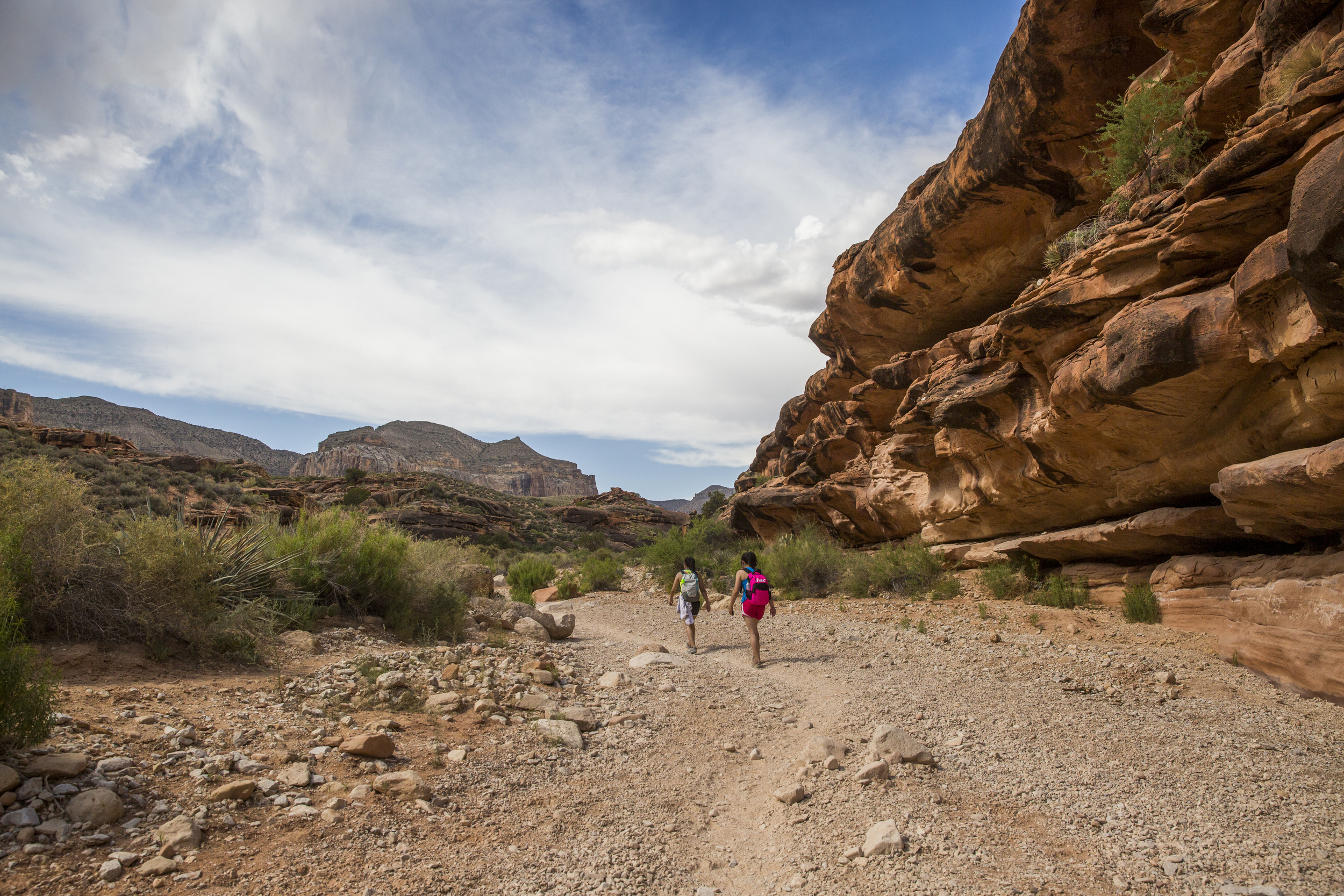
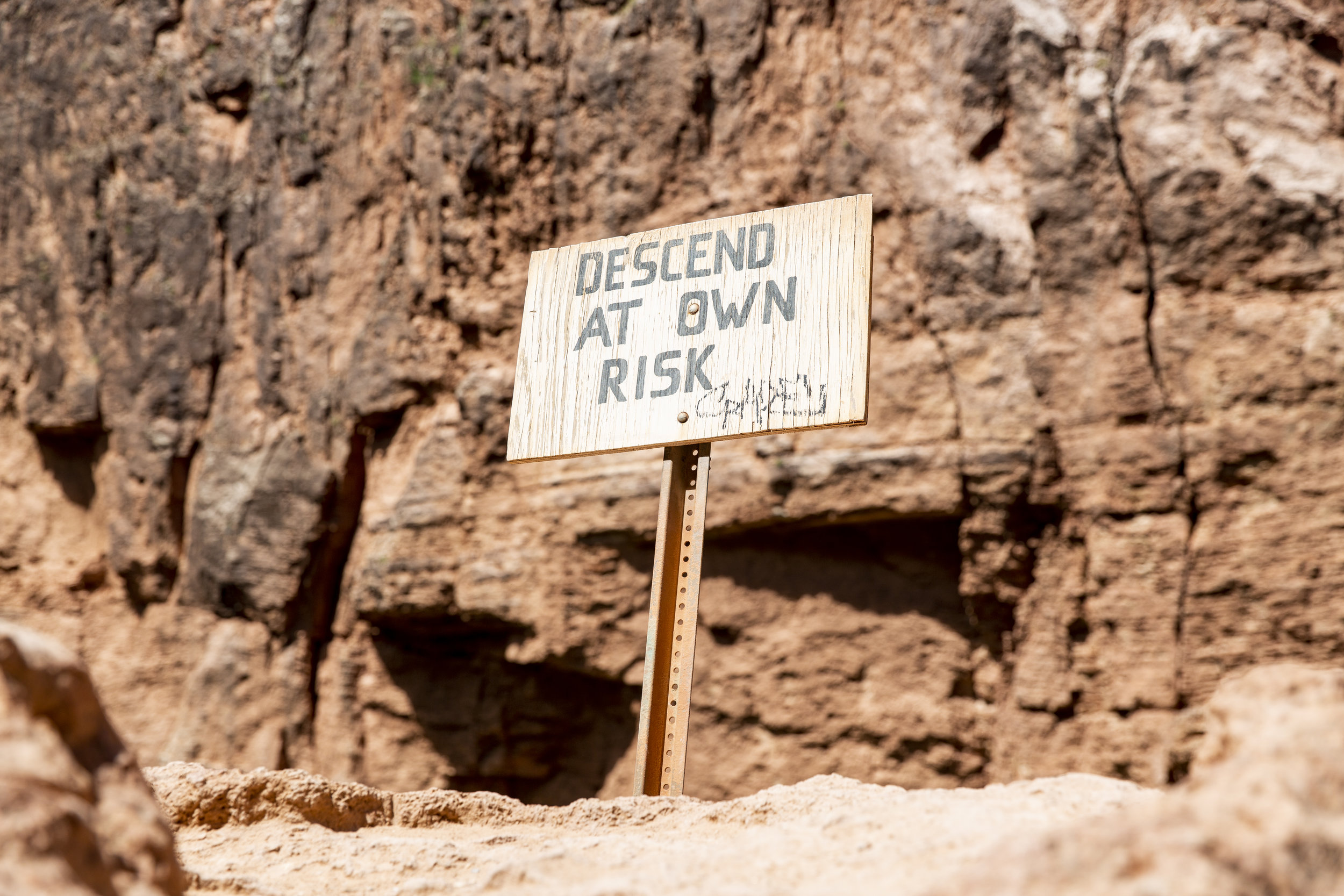
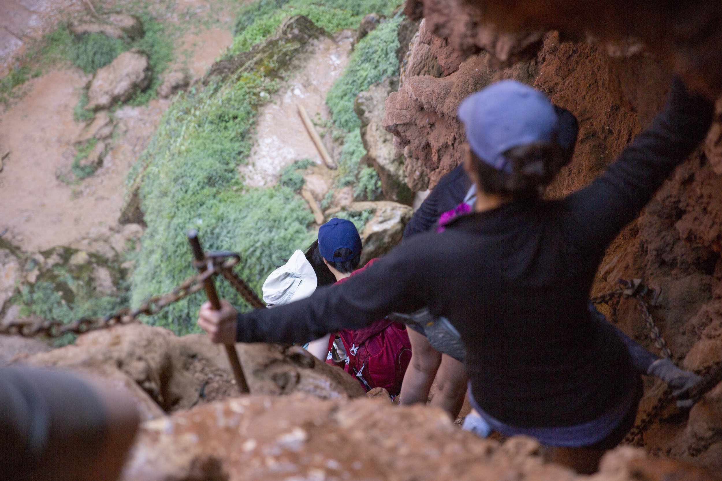
The hike to the beaver falls will pass by the Mooney fall (~1 mile), and it is quite a climb down, so be prepared to pack light and have shoes with good traction.

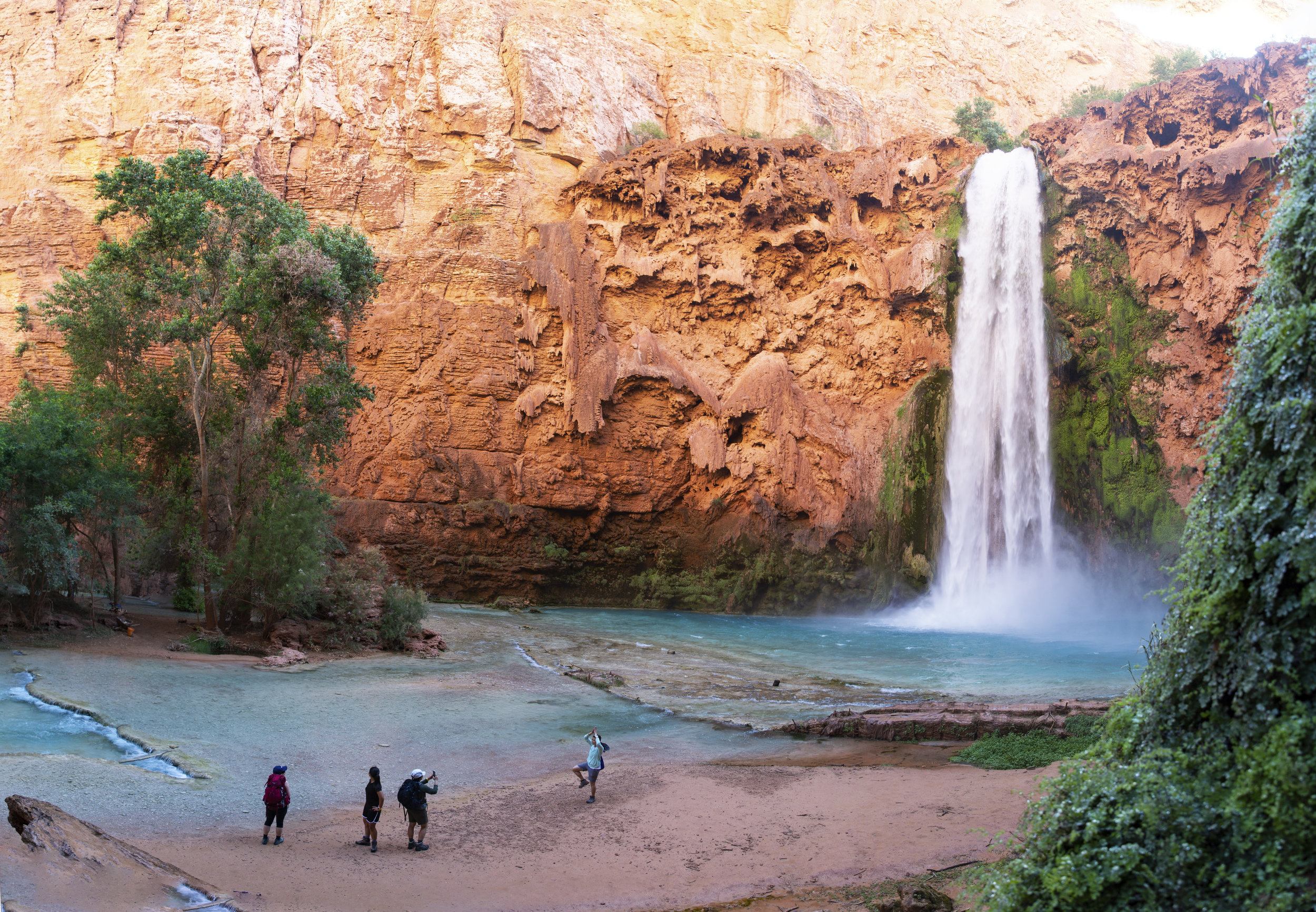
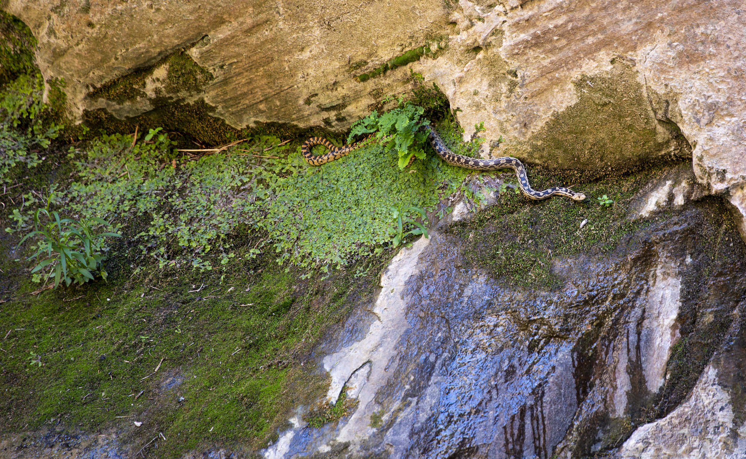
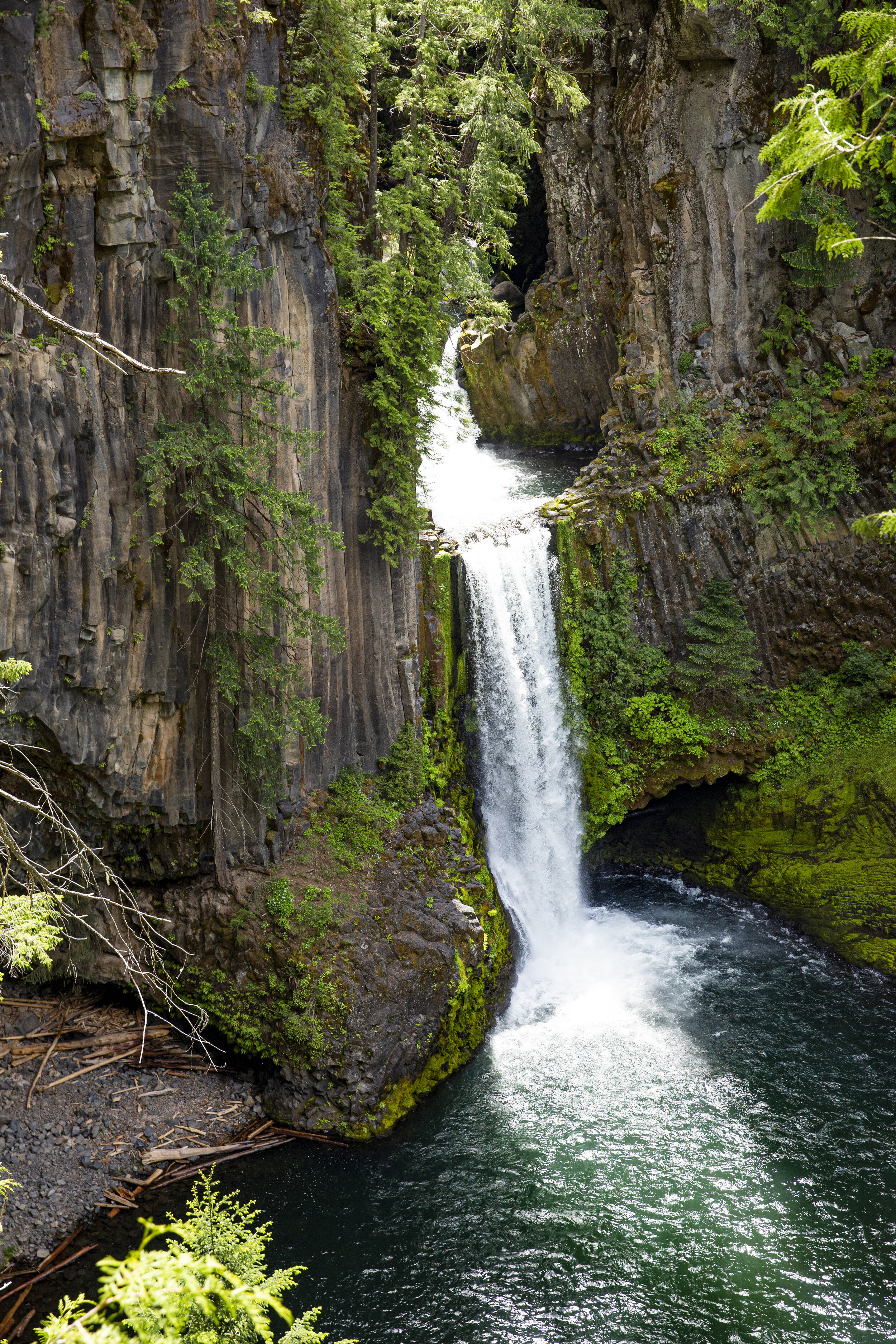
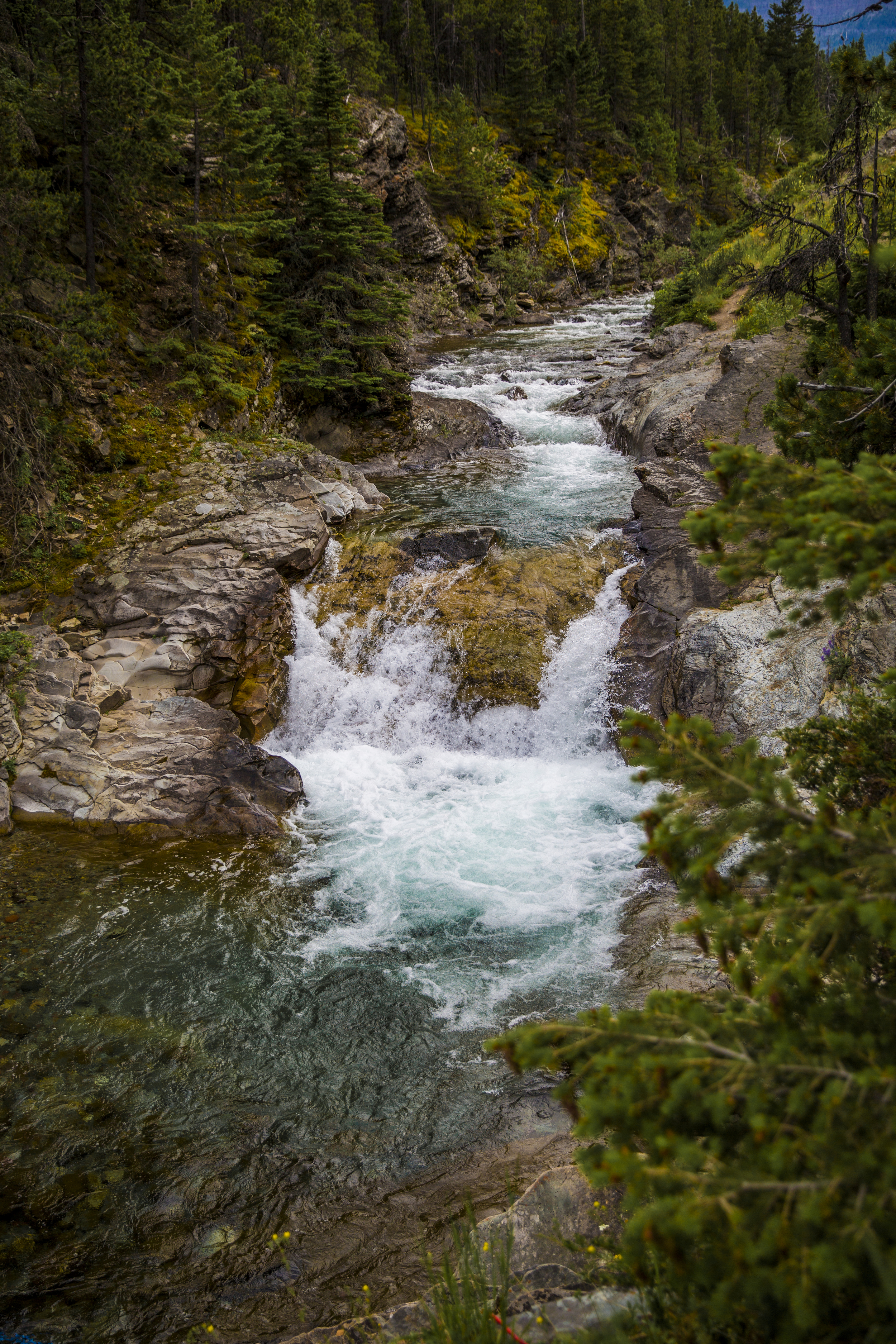
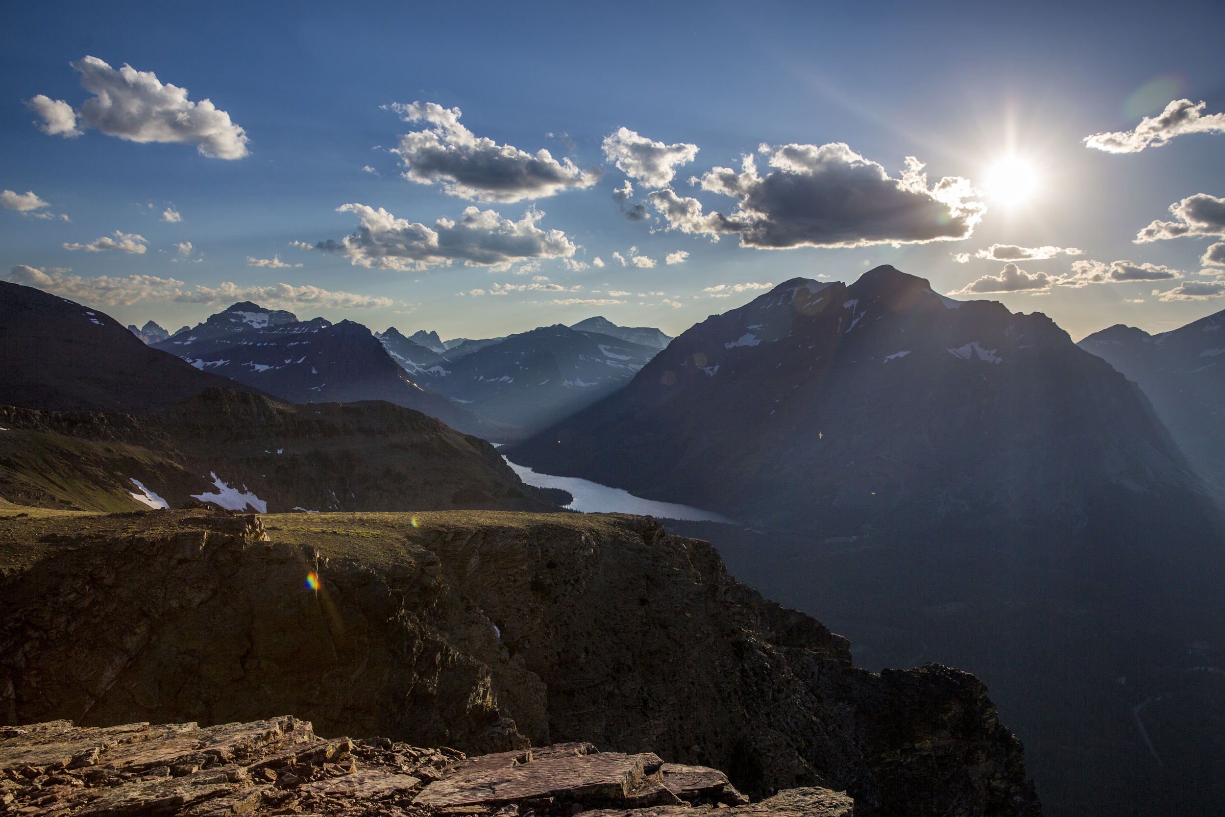
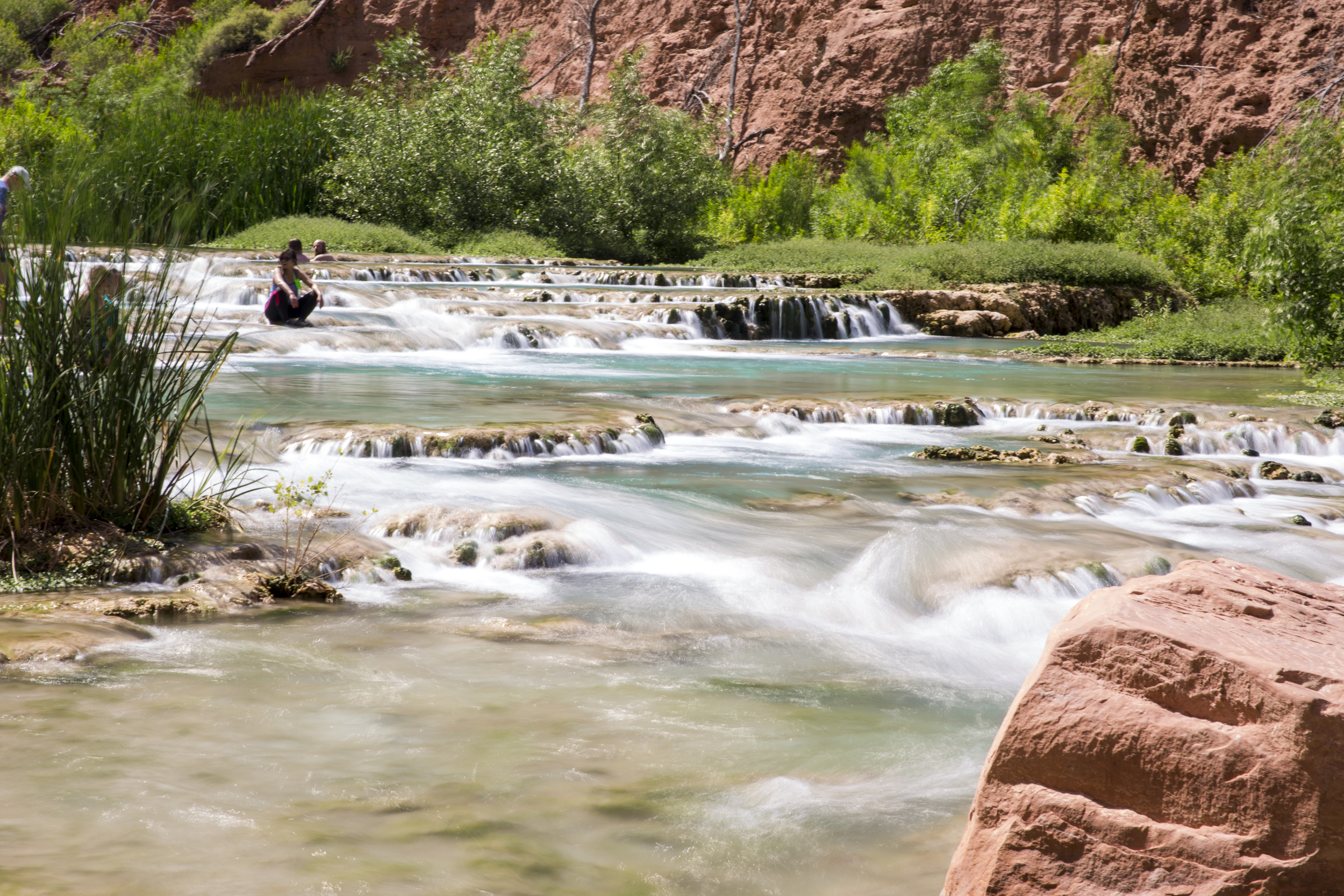
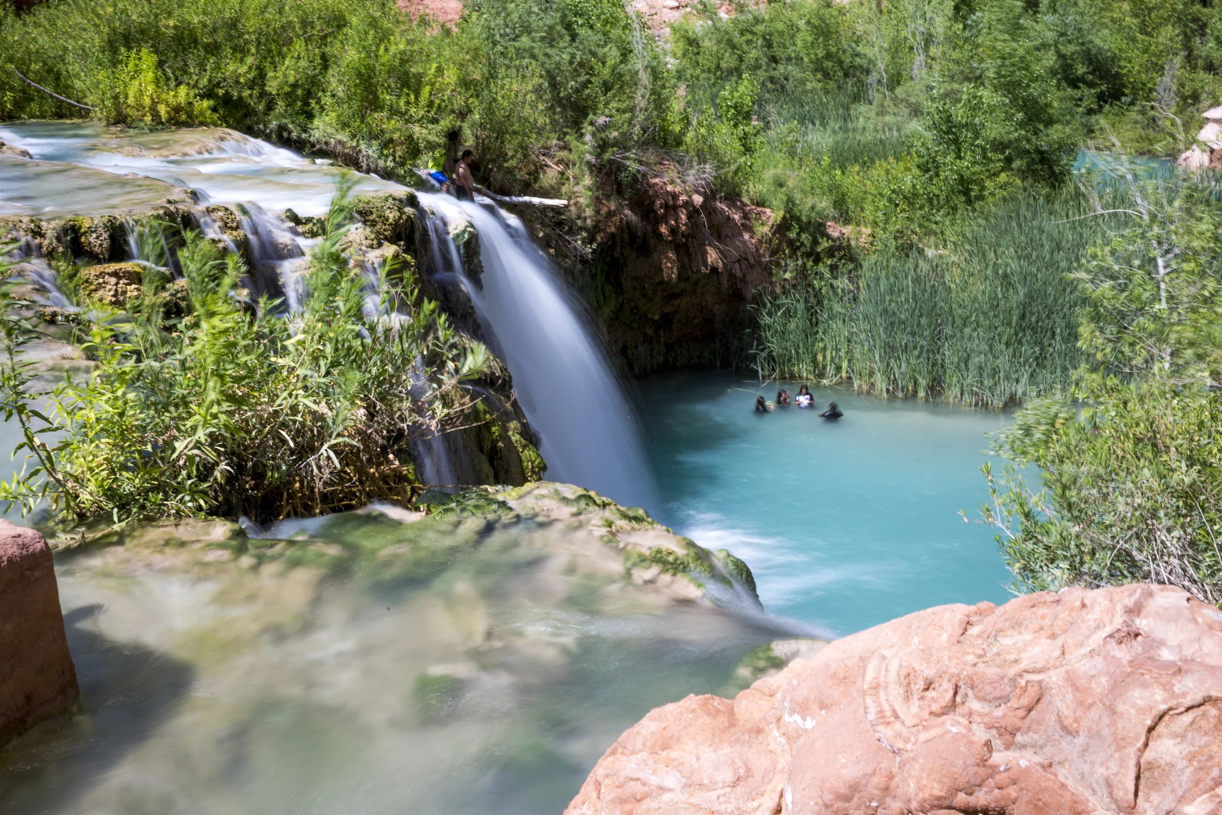
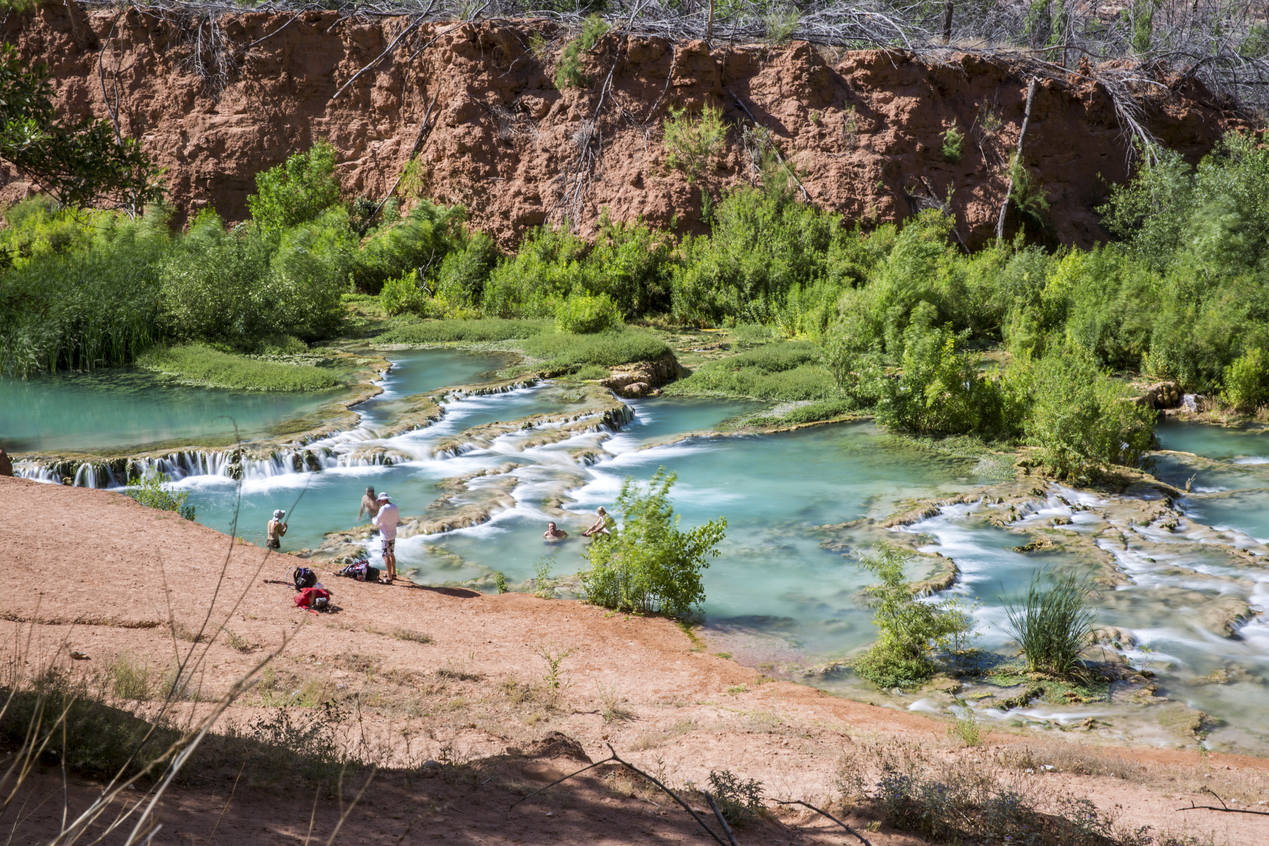
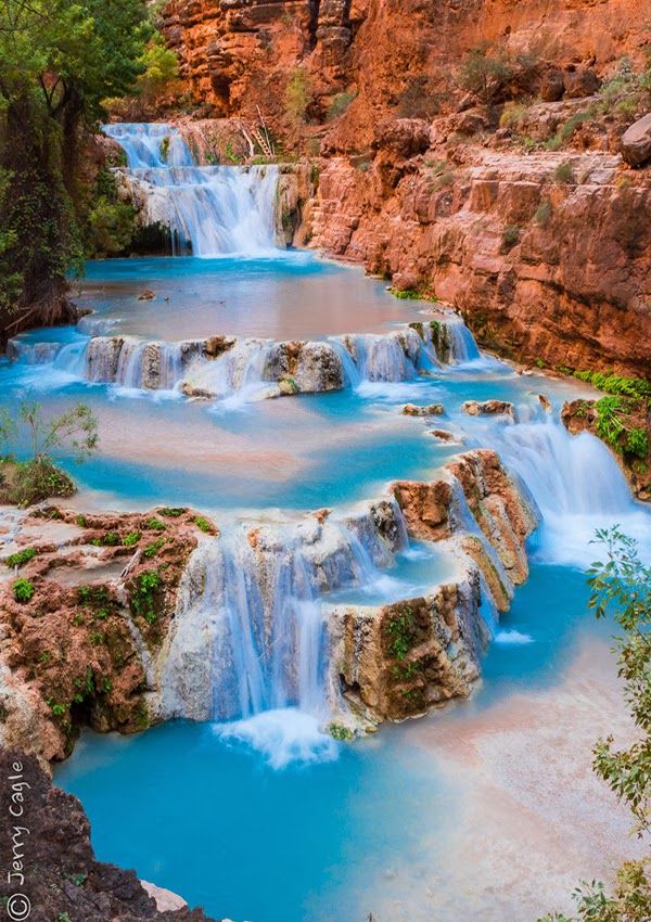
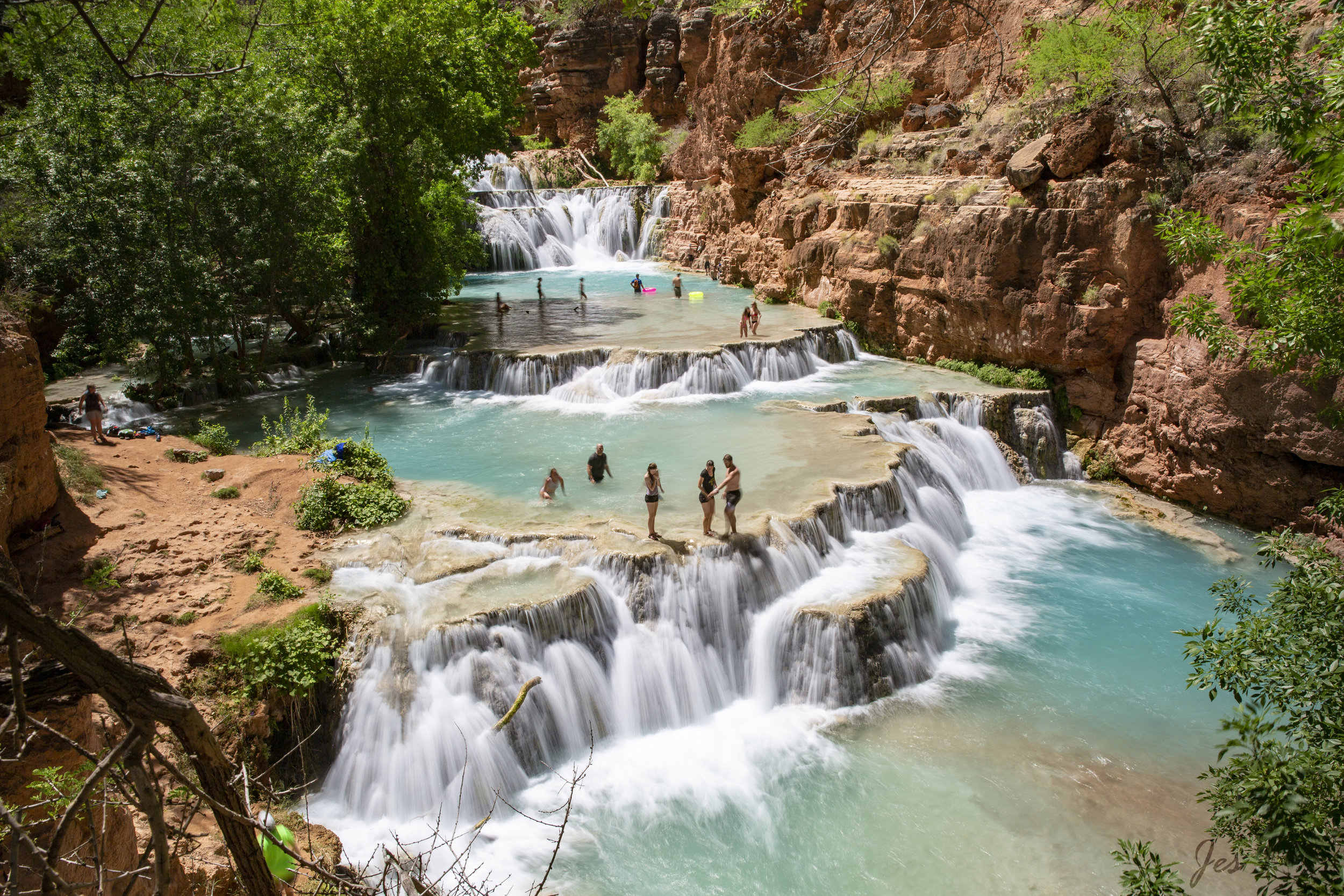
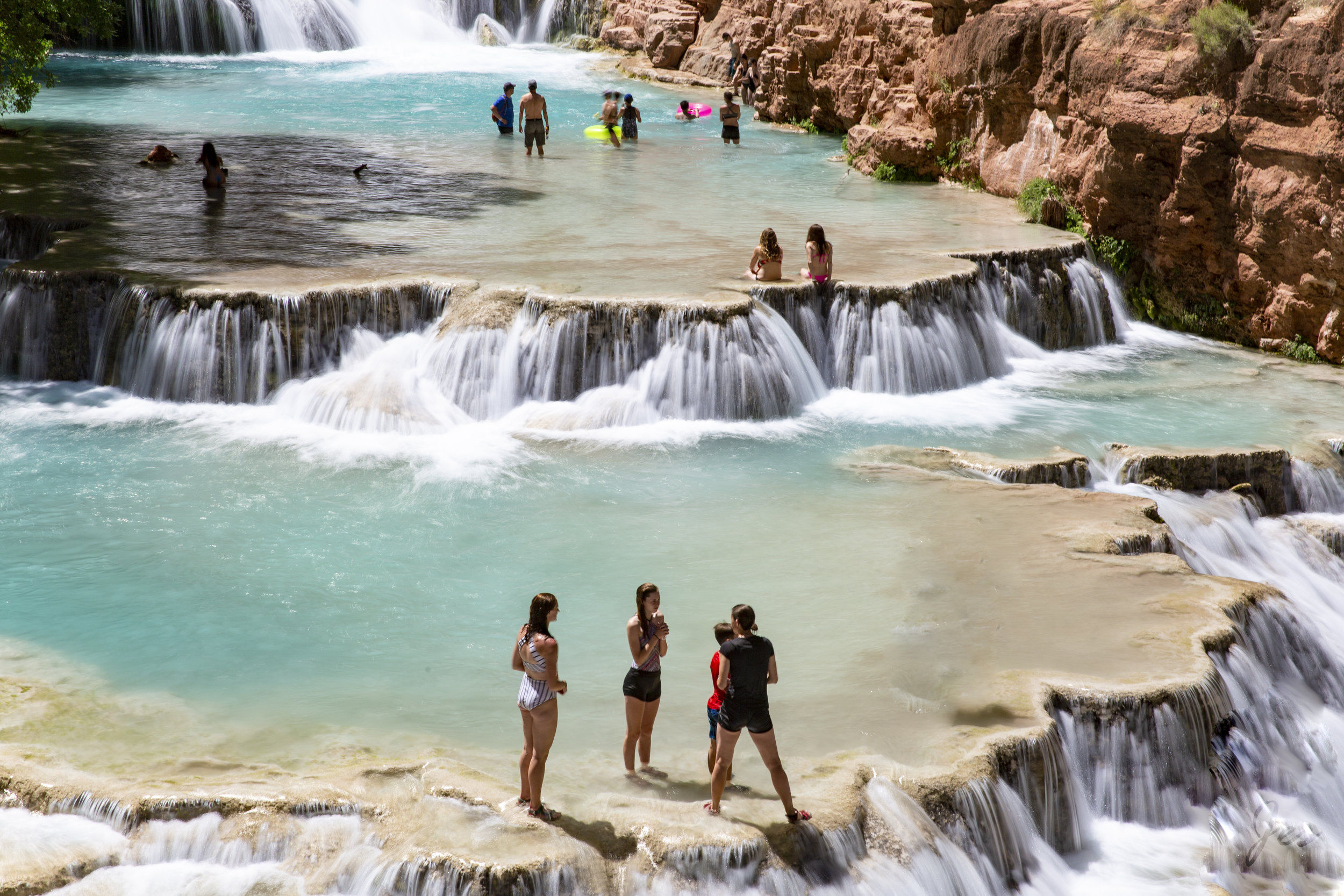
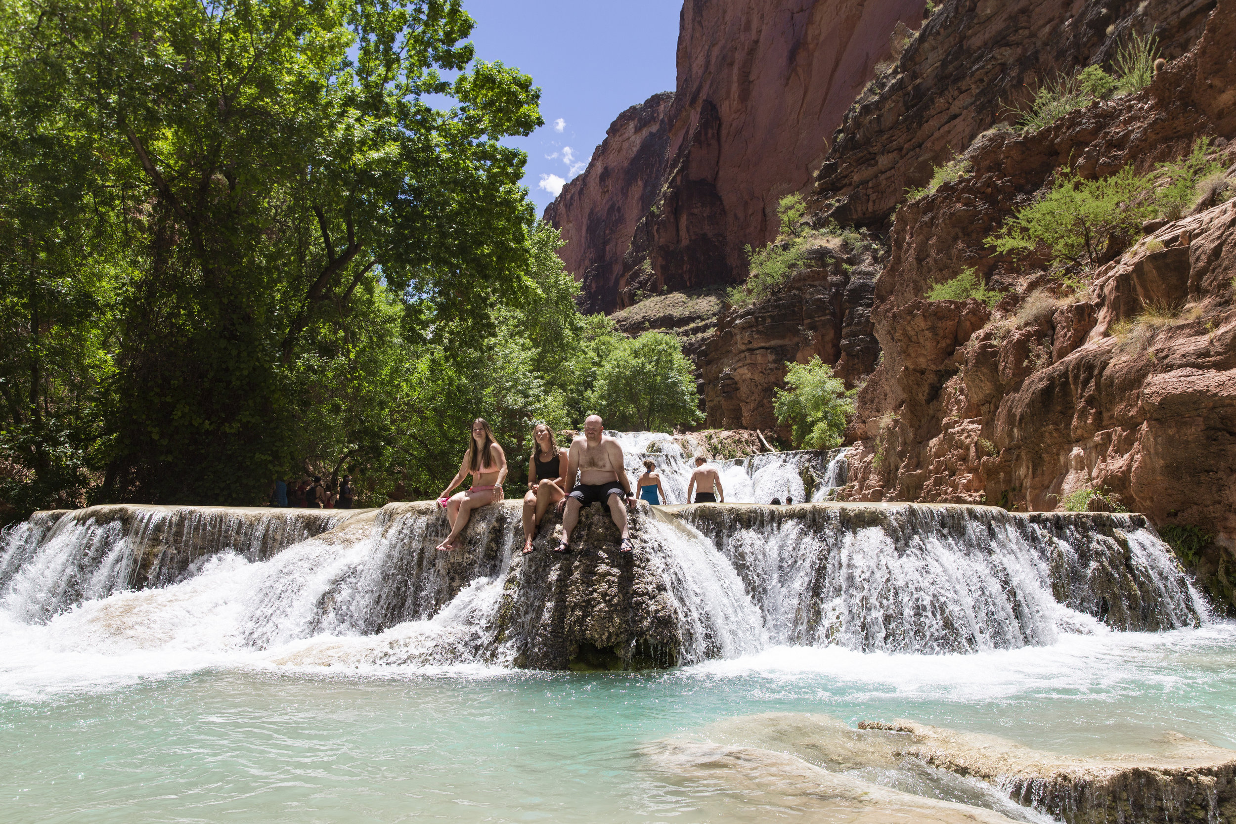
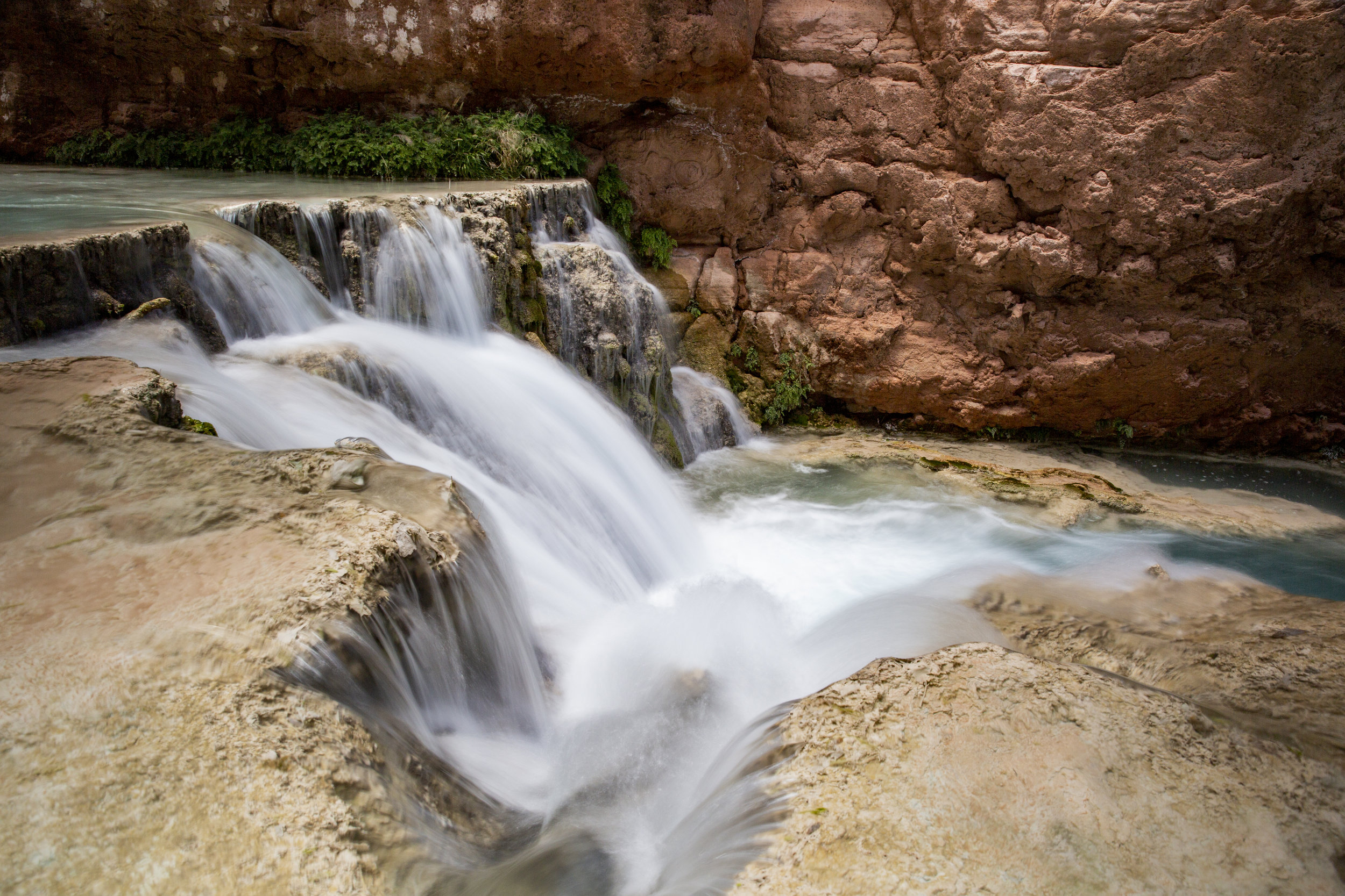
It is about another 2 miles from Mooney to Beaver falls, and there are 3 water crossings, which we got used to at the end, but it would be nice to have water shoes with you as the rocks in the water are quite uncomfortable or painful to walk on. When we finally reached the beaver falls, it was all worth it! It is absolutely gorgeous. It was a beautiful hike to the falls and the view at the end was just breathtaking.

Day 3 - Hiking out

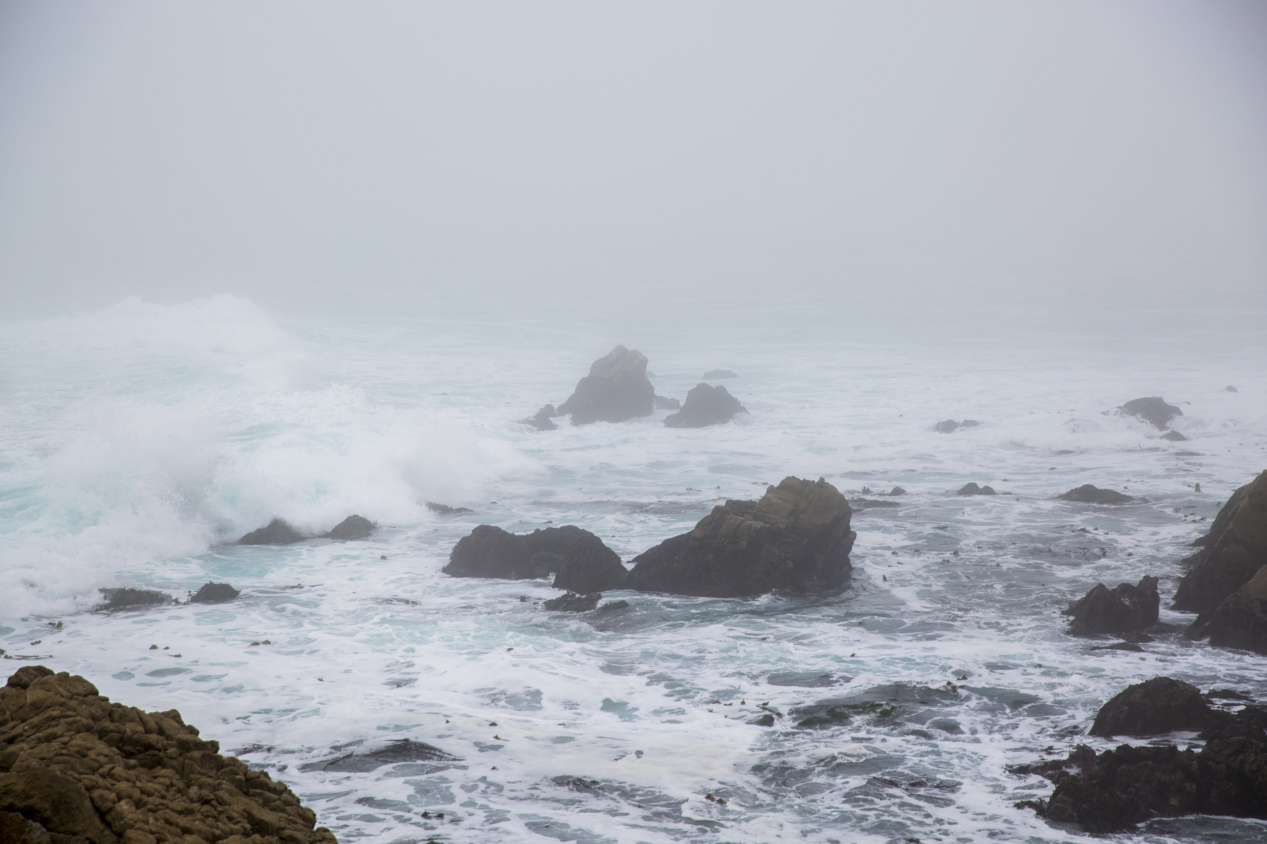
Based on our last experience, walking back up that hill in the sun was excruciating. So, we decided to start the hike really early to avoid the sun (and also to give ourselves enough time to catch the plane). We started hiking out from the campsite at around 4:30am, and most people (I was super slow probably to begin with, but I am blaming on the heavy camera and tripod I was carrying on top of the camping gears) got back to the trailhead at around 9. Turned out, it wasn’t sunny at all, and instead, it was all rainy and cold, which to be honest, is a better deal than the sun. Unfortunately, for people who were hiking in, the view of the falls might not be as pretty due to the rain.

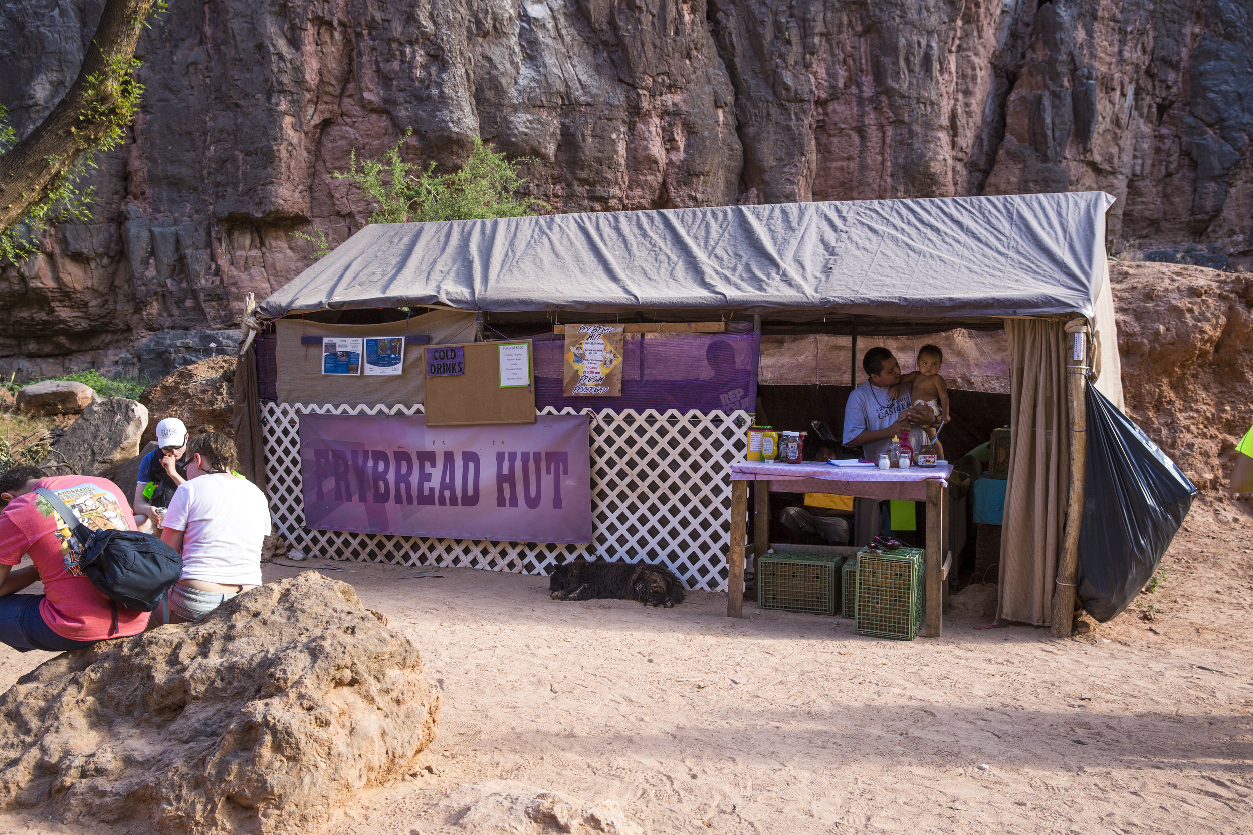
Due to the gain in popularity, it is super hard to get the permit, and the price has now gone up quite a bit as well. The reservation is for 3 nights (that’s the minimum length for the reservation), and it costs $375/person (and yes, it is for a camping spot). However, it is unlikely for a person to go more than once, so I think it’s worth checking it out!

For those who want to go, a couple things that you might want to know:
1. They have fresh spring water, so you will only need to bring enough for the hike in and a filter to turn the spring water into drinkable water (although there are people who drink straight from it)
2. They also have a bunch of leftover propane gas for cooking, so you might not have to bring one in
3. They have bathrooms with toilet paper, and to be honest, their bathrooms are quite nice in comparison to what I have seen in other national parks

Comment

Comment

California Superbloom 2019!

T67A3909.JPG

It is spring time everyone! And in this spring, we have the best super bloom in years! (and we just had one in 2017!) So good that it can been seen from space apparently! There are multiple locations you can see the super bloom, like Anza Borrego, Carrizo Plain National Monument, Walker Canyon near Lake Elsinore, Antelope Valley Poppy Reserve, etc. It is literally everywhere! So, if you don’t have plans this weekend, I will encourage you to go see the beautiful wild flowers!

Below are some closer shots of the flowers <3

Comment

Comment

The Enchantments

T67A2463.JPG

I spent my birthday weekend, walking ~26 miles carrying a ~30-pound backpack with lots and lots of mosquitoes. Not gonna lie, it was rough but very rewarding. It was my first backpacking trip, and I did not pick an easy one. There were a lot of steep climbs / drop that almost required a little climbing, which was quite challenging with a big backpack, but we survived! I got to see the beautiful mountains, meadows, crystal-clear lakes and super cute mountain goats and kids (apparently, goat baby is called kid). Can't think of a better way to spend my birthday!

Day 1 Stuart Lake and Colchuck Lake (~10 miles)
We drove to the snowlake trail head, and took a shuttle to the colchuck trail head so that we only need to hike one-way. Stuart lake is sort of a detour but it was our first day, we were full of energy, so we decided that we should check that out as well. As beautiful as it was, not sure if the detour was the right decision. Our original plan was to hike all the way to Aasgard pass, but after the 4.5 mile detour, we stopped at Colchuck lake as it was getting late and we were tired. Because we decided to stop, we had some time to enjoy and swim in the lakes for a little bit. 

Day 2 Aasgard Pass and Lakes (lots of lakes) (~ 7 miles)
We got up early and started to head up to the Aasgard pass. I was glad that we headed out early because we avoided most of the sun hitting us when we made the ascent. It was quite steep. It was about 1.6 miles of rocks with over 2000 feet elevation gain. As you climb, you can get a really nice view of the Colchuck lake behind you and some glaciers up on the mountain as well. Along the hike, we encountered a lot of mountain goats, and they were just so adorable, especially the baby goats. After we crossed the pass into the glacial basin, there were countless streams, lakes, small waterfalls, and I was just stunned by the sceneries. 
After the Aasgard pass, I was super tired, and I was walking really slow. Because of that, we did not get to the upper snow lake till 10pm. I got lost a couple of times, and found my way back to the main trail. As most people might know, whenever the trails are not clear, there will be some stone piles to help guide you. Unfortunately, some of the stone piles were wrong and we ended up wasting some time and energy trying to figure things out. At some point, I was left behind without an sunscreen and bug spray because I was super slow. I got charred by the sun and almost eaten by the mosquitoes during the hike, but even then, whenever I looked around, it was so breathtaking that I thought it was all worth it.

Day 3 Hiking out from the Upper Snow Lake (~ 9 miles)
The hike from here on was a lot easier, but it was still a long stretch. Starting with walking along and crossing some lakes, to a long walk in the woods, to the downhill switchbacks at the end. We barely made it in time to catch our flight back to LA!

The aftermath of this hike was quite unpleasant: Sprained ankle, 50+ bug bites and sunburn. But, I loved it! I just wished we had an extra day or 2 to enjoy it a little more!

Comment

Comment

Memorial Weekend - Zion National Park

Memorial weekend is the busiest weekend for Zion National Park every year, and it has been breaking its own record every year. I have visited Zion multiple times, and this is definitely the most crowded I have ever experienced. Although it was super crowded, the weather however was absolutely perfect for hiking in the canyons. We hiked the angels landing, emerald pool, and part of the narrows. It doesn't matter how many times I have been to Zion, I can never get tired of its beautiful red rock formations and spectacular scenery. Enjoy the photos below!

Comment

Comment

In between Oregon and California - the Crater Lake and the Lassen Volcanic National Parks

Oregon is the state above California. That is an understatement, because it is too damn far away! From Los Angeles to the California/Oregon border, it is a 10-hour drive without traffic. July 4th fell on a Tuesday this year, so I decided to take the Monday off and go check out the California/Oregon border area for the 4-day weekend! It was an awesome weekend spent with my new hiking buddy (I lost my old hiking buddy to her new found buddy.... this is life), and guai lo couldn't come because of work, so it's just two Asian girls into the wild. 

The question you have right now must be, what is there to see? There are a bunch of national forests, national monuments, wildlife refuge, etc. So, the answer is "a lot!". We picked two places to go, which is the Crater Lake National Park and the Lassen Volcanic National Park. 

The Crater Lake National Park

Since it was an awfully long drive, we powered through to Redding from LA on Friday night, and woke up early to head to the Crater Lake in Oregon the next morning. Most of the park is surprisingly still under snow (come on, it's July!), so there were not too many trails that were open. We did the two trails that were open, the Garfield peak and the Cleetwood Cove trail. The former is going up to get a better view of the lake and the latter is going down to see the lake. I guess we did the two most important trails!
The Garfield trail was not fully open, so we couldn't get to the top and because of the snow condition, we couldn't get a good look at the phantom ship (a tiny ghost ship looking island in the lake). However, the view of the lake was incredible. You can see from the photos below that there is a bigger island in the middle of the lake, and it is called the wizard island. When the park is fully open, you can hike down to the water, take the boat across to the island and then hike up to the top of the island. 
I did not regret doing the Cleetwood Cove trail even though I was aggressively attacked by mosquitoes. There were more than 5 mosquitoes on one of my leg at all times, and I was fending them off with my cap like a crazy woman the whole hike. Anyways. The Crater Lake is the deepest lake in the US and it has the cleanest water in the US as well. When you reached the bottom of the lake, you can find a spot, sit down and take it all in. It was truly breathtaking. I actually saw a lot of people swimming in the lake. 

Note*If you want to see a nice reflection in the lake, be sure to arrive in the morning*

We decided we wanted to see the milky way with the lake, and so we stayed till dark. We thought we can see a great view because there was minimal obstruction. But guess what? The moon was CRAZY bright. We did not need any flashlight to walk around, and we could see our shadows from the moonlight. Although it was a disappointment, seeing the lake at night was still an awesome experience. No one else was around, just you, the lake and the stars. 

The Lassen Volcanic National Park

The next day, after taking a last look at the lake, we drove down to a small town called Westwood back in California. We had a good night's rest before the Lassen Volcanic National Park. We were hoping more trails would be open for us to hike! Unfortunately, not much is open either! Most of the park is still under 13 feet of snow according to the park rangers. We couldn't even see the famous Bumpass Hell! You can see from one of the pictures below that the whole Bumpass Hell was under snow. Bumpass Hell is the largest hydrothermal area in the park, and temperature of the steam jetting from the Big Boiler could reach as high as 322°F or 161°C. However, we were able to see at least one geothermal area called the Sulphur Works, and you can see the bubbling mudpot and fumaroles (steam vents). 

We wanted to go to the south part of the park, the Warner Valley, and it WAS open. Unfortunately, the road condition was not good enough for a low clearance car, so we could not see the devil's kitchen (apparently, the ranger's favorite geothermal area). T_T

We took a side trip to this subway cave 15 minutes north of the Manzanita Lake. It is a very short self-guided trail, but don't forget to bring a flashlight because the cave is completely dark. It is also fairly cool, so also bring a light jacket! Twenty thousand years ago, the ground broke apart close to the Lassen Volcanic National Park. The top of the lava flow began to cool and solidify due to air exposure while the molten rock below continued to flow, creating this lava tubes we see today. 


We drove back down to the north part of the park - the Manzanita Lake. This was literally the only other part that was open besides the Sulphur Works. We walked around the lake and when we reached the opposite side of the lake in respect to the parking area, you could see all three peaks, with the Lassen snowy peak in the middle. We also drove up to the devastated area, which looked very devastating (hence the name). The devastated area was a result of the 1915 eruption of the Lassen Peak. 

On the way back, we stopped by Sacramento to see the Capitol. Visiting the Capitol on July 4th, how fitting! We then went to the Asian Art Museum in San Francisco for a couple of hours. I was going to get some delicious egg tart from the golden gate bakery in Chinatown, but the line was obscenely long. After San Francisco, we went to San Jose for dinner before heading back to LA. We broke up the drive quite a bit on the way back, so it did not feel as long, but I felt like this is really the furthest I can possibly drive for a long weekend, which is about as far as I went to the east (12 hours to Canyonlands in Utah). There are still so many places I want to go, Colorado, Wyoming, etc. If only I have the time...........

Comment

Comment

The Canyonlands

There are just too many great national parks in Utah that I want to explore, yet they are so far away! Distance is the only reason that I haven't explored all of them, and on the past memorial weekend, I decided to just do it! It was a 13-hour drive from Los Angeles, and we started kinda late that Friday, so we ended up arriving at 8am the next day (plus the one hour difference). I planned to arrive a couple hours earlier so that we can take a nap before heading out, unfortunately, the plan was a little off.... We were too excited when we arrived, so we headed out without any sleep.

We spent Saturday and Sunday exploring different part of the Canyonlands National Park. There are three parts of the park, the island in the sky, the maze and the needles. We only explored the island in the sky. We considered going to the needles, but it is 2 hours away plus the best part of it requires long hikes, with the extremely hot weather that weekend, we decided we would just stay on the island in the sky. As for the maze, it is extremely remote and requires a high clearance 4WD, so we just couldn't do it. But we really enjoyed our time there even though we only stayed on the island in the sky. 

Some of the highlights:

We headed out to Arches National Park on Sunday night to see the stars! We picked Arches because it is only a 10 minute drive from Moab.

Before we head back to LA on Monday, we went to see the delicate arch, which we missed (still can't believe we missed that!) the first time we went to the Arches. The delicate arch was AMAZING. Definitely should be the #1 thing you do when you go to the Arches National Park! Don't make the same mistakes we did!  

Comment

Comment

Anza-Borrego Desert State Park

I just really wanted to shoot the milky way, so I spontaneously decided we should go see it last weekend! I also heard that Anza-Borrego has a crazy super bloom this year, so I figured we can see both!

Summer is usually the best time to see the milky way, because you can see more of it at an earlier time of the night. In April, the milky way doesn't come out until around 4am, so we started driving at midnight hoping to catch it and we did! Unfortunately, I am still new at this and we started a little late (as you can see the sun started to rise!), so the pictures weren't the greatest, but I definitely enjoyed it. Gotta do more this summer!

The superbloom! I heard that last week was the peak week but I couldn't make it there. We still saw a lot of desert wild flowers everywhere, which was very nice. I recently bought this macro lens, and I got to try it out! I have to say, this new lens was FANTASTIC! The images are just so crisp, can't wait to explore this lens more~

Comment

1 Comment

Hottest, Driest and Lowest National Park - The Death Valley National Park

Death Valley located between the border of California and Nevada, east of the Sierra Nevada. It is one of the most diverse desert environments I have ever experienced. Within miles and miles of wilderness, it contains salt-flats, sand dunes, badlands, valleys, canyons and mountains. Such an incredible place. It is extremely hot, therefore summer might not be the best time for a visit. Spring and Fall is the best time to experience this vast nature without getting cooked. Especially in spring, you might be able to see desert flowers blooming, but that requires the right conditions for it to happen. 

Dante's View - Panoramic view of the southern Death Valley basin

Zabriskie Point - Erosional landscape used to be covered by water

ZabriskiePointPanorama.jpg

Badwater Basin - Huge salt-flat and the lowest point in North America

Natural Bridge - A short walk to see the canyon bridge formation

Artist Palette - Colorful landscape from different metal oxides

Mesquite Dunes - Awesome spot for a starry night

Eureka Dunes - A huge pile of sand in the middle of nowhere

We wanted to go to the Racetrack Playa, but got on the wrong road and ended up in Eureka Dunes, which is also a very magical experience. (*Note* Both attractions would need a 4WD) In the middle of nowhere, sits a huge pile of sand, a very unique experience. We happened to see a very tiny lizard baby, and that really made our day. 

This is my second time in the Death Valley, and yet I still did not make it to the racetrack playa! I have just made it my mission to see that this year!

1 Comment

Comment

Christmas in New Mexico

Before continuing the Paris trip, let me tell you what I did over the Christmas break! Guai lo and I decided to go to Santa Fe, New Mexico to visit his mom. It was great to have some family time, as well as having such a relaxing and chilled vacation!

Christmas Dinner

They set up the Christmas tree with all the ornaments they bought over the years, and it was so adorable! Each ornament has the year they bought written on it, so cute <3 And of course, the Christmas dinner was delicious, especially the dessert, apple crisp!

The next couple days, we were exploring different nature hikes in Santa Fe. And it was absolutely amazing! It is really nice to have such beautiful nature so close to you. 

Lion Cave Trail

Bandelier National Monument

Valles Caldera National Preserve

Diablo Canyon

Family + Nature hikes is the perfect ending for 2016. I could not have asked for more in 2016, and I hope this year will be even better! 

Comment

Comment

The Big Sur Half Marathon

Yes. That was the medal for finishing the half marathon! Isn't it adorable!!! It was quite tough for me, since I didn't train for it plus I was sick, but I finished!!!! I was not happy with my time obviously, but I was proud that I didn't give up and finished the run! Running along the coast was absolutely amazing.

The run was on Sunday, so we walked around the area on Saturday. First thing we did is of course getting the bib for the half marathon! And then, coffee!!! We found a place called Lumiere, which is close by and had pretty good coffee!

Then, we went to the Monterey Bay Aquarium. It was not my first time, but I never get bored with these amazing sea creatures. Also, you can never get disappointed with the jellyfish exhibition.

Some awesome jellyfish videos.

Next: The 17 Mile Drive. It was a drive along the coast, and the ocean was just so blue!!! It was way better than the Santa Monica beach. So much quieter and cleaner. After that, we walked around the town a little as well, I loved the chilly weather and string lights in the trees and on the stores! It was really festive!


Next day after the run, we went to Santa Cruz for lunch and met up with my dear friends, and then we went to the Natural Bridges State Park. I have been to Santa Cruz so many times, but never been here! The sand was so soft, and the sunset was beautiful.

We drove back to LA after that and on the way, we saw the super moon!!!! It was so big and round!!! Can't ask for a better way to end our weekend getaway/half marathon.

Comment

Comment

On the way to the Big Sur Half Marathon

Finally got the time to post this! It has been a hectic week, school work, career stuff, competition, etc. Anyways, guess what I did last long weekend? I went to Big Sur with a couple friends for a half marathon. We decided to take our time and make a couple stops on the way there.

First Stop: Santa Barbara

Had a nice brunch at Scarlett Begonia, got a nice coffee from the French Press, walked along the beach and saw a huge pelican. It's really big, HUGE!

Second Stop: Morro Bay

We got there right before sunset, and saw this giant rock. I didn't know at the time what's so special about a stupid rock, but then I asked Mr. Google, and found out that it is actually a volcanic plug. The rock is actually connected by land to the shore and visitors can reach the rock to get a closer look. Sea otters and sea lions are often seen around the area, and we saw two sea otters having some yummy crab legs. They are so cute!!! There's one fish and chips place around the area, and we were pretty hungry, so we decided to have a little snack. To our surprise, that might be the best fish and chips I have ever had! Definitely would like to go back for that. The sun sets pretty early these days, so we didn't get to make any other stops after this, so we just drove straight to Monterey Bay.

Once we got there, we tried to find some decent food around the area, and came across a Mediterranean place called the Dematra Café. We went there and there was a huge line, so the receptionist brought us to another Mediterranean place that's also owned by them. She said the menu and everything is the same, so we went, but it was still too crowded! So, she brought us to an Italian place that's also owned by them, and said that we can sit there with the same menu of the Mediterranean place. I was like, HOLY COW, they owned the whole freaking street! Anyways, we ended up at an Italian restaurant, eating Mediterranean food, and after so much trouble, the food was pretty mediocre. One of the dishes was so salty that we sent it back to the kitchen. We were so disappointed! Given the huge line, we thought it should at least be above average. Maybe it's us?Maybe it would have been better at the original restaurant? Who knows? 

Comment

Comment

Around the Mammoth Lakes

After the Cloud's rest, we have half day before heading back to LA. What is there to do around the area? We went to the Devils Postpile National Monument! We went on two really short hikes, the Devil Postpile (Dah!) and the Rainbow Falls. 

Devils Postpile

Some weird rock formation from lava, and it was a very short hike up to the top. 

Rainbow Falls

It's about 4 mile round trip, and relatively flat. We didn't go to the lower viewpoint because none of us feel like walking back up after the hike yesterday XD

This really concludes hiking this year, and I have already started to think about next year's hikes!! Maybe I will start early next year! 

Comment

Comment

Cloud's Rest - Yosemite

Hiking season is almost over, so we (me + hiking buddies) decided we should do an epic end-of-season hike - the Cloud's rest. We did the half dome almost two months ago, and now we decided to get another view of it from afar! We originally wanted to camp on the summit so that we can see the sunset, milky way, sunrise, but unfortunately, it is a little late for that. It already started snowing a little! Oh well, we will just do a day hike instead!
It was a 15-mile hike from Tenaya Lake on the Tioga Road (which will close in early November), and only about 1800 feet elevation gain. Having said that, the trailhead is at 8150 feet elevation and the summit is about 9930 feet, which for people like me (who get affected by altitude quite a bit), is not an easy hike. If you have more time, I would recommend spending a day chilling around the mono county to adapt to the altitude before hiking!

As you can see from the photos, there are patches of snow everywhere already! I am glad that we didn't wait any longer to do this! You can get a very nice view of the half dome from the cloud's rest summit, and we just couldn't believe we were actually on top of that! Look at that!!! It's so STEEP!!!! That's crazy. It took us about 9.5 hours to finish the trail, which was kind of expected. The trail was a lot easier than anticipated, but it's still not an easy hike because of the high altitude.

On the way back to the airbnb, we decided to stop by the Mono Lake to see those peculiar rock formation. I didn't know until we came back to LA that there were a couple different spots we should have gone to see the different rock formations. Oh well, next time!

After dinner, we decided to go out to see the stars. We drove all the way back to the Tenaya Lake, which is probably not necessary, but we did, and we can clearly see the milky way and shooting stars were everywhere! Unfortunately, we were all too tired and too cold to stay any longer. This concludes another crazy hike we did together, till next year!

Comment

Comment

A spontaneous weekend getaway - Portland, Oregon!

Last weekend was a very random and spontaneous getaway! We said that we wanted to see the foliage, so we picked somewhere close to go, Portland, OR! Being from Hong Kong, and living in California, I really would love to see some fall colors! I guess we are a tad bit early, so the color just started to change :(

Multnomah-Wahkeena Loop Hike

It is a 5-mile round trip loop with spectacular waterfalls everywhere!

Thor's well

This is 3 hours away from Portland, but I insisted we have to see it! Unfortunately, we didn't go at the right time of the day...... the tide is too low to see the Thor's well at its glorious moment (click for some google image I found), instead we got a pretty pathetic hole..... The beach was absolutely gorgeous though :D

Dog Mountain Hike

A 7-mile round trip hike, 2800 feet elevation gain, not an easy hike, but it's pretty scenic. The trail head is actually in Washington state, and you have to pass the "Bridge of the Gods" ($2 toll both ways). When you arrive at the trail head, there's a self-service pay station, and it's $5 per car. You can definitely see some beautiful fall colors on this trail, as well as getting a stunning view of the Columbia River Gorge.

Of course, there's food and coffee!! We went to 4 different coffee places, found a delicious donut place (my favorite is meyer lemon and the maple bacon donuts), and had some really good Thai food (love the papaya salad there)! It was a pretty tiring schedule for a 2-day trip to Portland, but it was fun! Nice views, good food, awesome company!

Comment

Comment

The half dome - Yosemite

My hiking buddy contemplating life lol

My hiking buddy contemplating life lol

This might just top all the crazy weekends that I have had! The half dome hike is one of the lottery hikes, and there are two types of lotteries you can try, the pre-season and the daily. The application to the pre-season lottery is in March every year, and 225 permits are available for each day. You can apply for any day from late May to early October, as long as the cable is up, and the result is in by mid-April. For the daily lottery, approximately 50 permits will be available each day during the hiking season. The daily lotteries have an application period of two days before the hiking date and the results will be available online late that night.

So, this is what happened. We entered the lottery Thursday morning for the hike on Saturday, thinking that it's unlikely we are going to get it the first try. We checked the result around midnight and found that we actually GOT IT! Immediately, I texted my hiking buddy and started the preparation. In the next 15 hours (on top of working in lab and sleep), we managed to freeze a bunch of water bottles, made 15 sandwiches, bought some gloves, got some bars and snacks, packed a bag, booked the hotel and hopped on the road to Fresno!

My hiking buddy and I managed to find 3 other people to join us in such short notice. A group of 5 Asian girls~ definitely a rare find for this hike. We stayed in Fresno for the night because that's the closest city we can find with empty rooms and a decent price. We left the hotel at 4:30 in the morning to drive to the trail head (shuttle bus stop #16 Happy Isles). We started hiking at about 7:30am, and we ended up getting back to the car at about 9pm. A total of 15 miles, 4800 feet elevation gain and 13.5 hours, it was very exhausting but it's also very rewarding.

The left picture shows the most famous or infamous part of the hike, the cables! You will definitely need a pair of gloves for this, and it is not as scary as it looks, but it is pretty damn hard to get up there without some arm strength (I was holding on to the cable way harder than I needed to, and my arms ARE SO SORE). But the view on top and the feeling of being on the top of the world will make you forget everything! When you are up on the dome, that is pretty much the tallest point around, and I have to say.... I feel pretty damn accomplished.

On the way to the half dome, we passed by two beautiful waterfalls, trees and forests, we saw a deer, marmots, chipmunks and squirrels, it was overall a very enjoyable hike. This is definitely one of the bucket list hike items for fellow hikers! One more thing that I checked off on my list! (Although the list is constantly getting longer lol)  

The Half Dome up close!

The Half Dome up close!

The view on the Half Dome

The view on the Half Dome

The view on the Half Dome, walking towards the cable

The view on the Half Dome, walking towards the cable

Stunning view after passing the Nevada Fall through the John Muir Trail

Stunning view after passing the Nevada Fall through the John Muir Trail

Below are some random pictures during the hike~

Comment

1 Comment

The Canadian Rockies - Banff + Jasper


The next 3 days, we are going to be exploring Banff and Jasper in Canada! On the way there, we saw a double rainbow!!!! Something you don't see often in California because there's no rain (lol). This is a long weekend for Canada too, so the park was SUPER crowded. It took us a long time to get into the park. We found a parking spot at the overflow parking, and took the shuttle to Lake Louise. We decided we should canoe on this beautiful lake, and it was so much fun! It was surreal to paddle towards the glacier on a gorgeously blue lake! 

The national parks in Canada are a lot more... um..... urbanized? Not sure what's the right word for it, but they have a village/town in the park that has tons of gift shops, restaurants, hiking stores (e.g. Northface), which is so bizarre to me! I kinda like it because I have access to wifi, food, etc., but at the same time, I don't like it because it doesn't feel like I am in the nature. Anyways, Banff is definitely very family friendly for those who want to spend a weekend close to nature with the kids or the elderly. 

Above is the Vermillion lake. This was a less populated spot for us to chill. Everywhere else was SO damn packed. This is why we decided we wanted to go to Jasper the next day, fewer people possibly and more in the wild. 

We got up super early and made it to Jasper at about 10am. We did a little research last night and decided we are going to do the Edith Cavell Meadow hike in Jasper. It turned out to be my favorite hike on this trip! At the beginning of the trail, you can do a side trail called "path of the glacier" to see the angel glacier (doesn't it look like an uterus? That was the first thing that popped in my mind lol). It is only about a mile and this is probably as close as you can get to a glacier, and it was incredible! Then, we went up the mountain. The trail is about 5 miles round trip, 1600 ft elevation gain if you don't go to the highest point. It took us another 2 hours round trip to the very top of the mountain and it was snowing and hailing on the way up there. It was very steep and the path was full of rocks, but it felt very good to be at the top of the mountain (besides the fact that we were all freezing and starving). We saw some marmot and pika on the trail as well. They were adorable! 

Above were some of the animals we saw on the road, elks, chipmunks and deer. We even saw two small bears while we were driving in the car! We were all very tired after the hike and just went back to the hotel afterwards. 

Today is the last day we have, and we are driving back to Banff and tried to hit some of the spots we didn't go due to the crowd 2 days ago. Between Banff and Jasper is the Icefields Parkway (144 miles), and it passed by so many glaciers, lakes, mountains. That might be the most beautiful drive I have ever done. We stopped at the Columbia icefield/Athabasca Glacier. It was a short walk to see the glacier from afar, but if you want to be those people on the ice in the picture, that's $80/person for a guided tour. We didn't have time nor the money to do that, so we just saw it from afar. 

We also passed by the Peyto lake, and it was just a short walk to walk to the overlook. There is a small one-mile loop after the overlook if you want a little walk. 

We ended our trip with the Moraine Lake, which is definitely one of the most beautiful lakes I have ever seen. The water is so blue that it looks fake! We went up the rocks to see the Moraine lake up higher and it was spectacular. There is also a flat trail, about 3 miles round trip along the lake. A very beautiful walk, and at the end, you can see a small cascade waterfall that brings the water from the melting glacier to the lake. 

This is the longest hiking trip that I have ever done. We usually do about 3 days, and this time it was 5 days total, with A LOT OF driving. As fun as it was, it was also SUPER tiring. Would I do it again? Probably. Was it worth it? Absolutely.

To my dear friends who came with us: hope you guys had fun and thank you for being crazy with us! 

1 Comment

Comment

The glacier - Montana Day 2

We found out there was a grizzly bear attack last night, and the park ranger was mauled to death. My friends freaked out about this, and we decided that we should get some bear mace for the hike (we didn't end up getting one because we didn't pass by any stores on the way there, but we survived without it lol). Today, the plan is to explore the "many glacier area" of the park. 

So many beautiful lakes on the way, and you can see waterfalls everywhere from the melting glaciers! It is so sad to think about how many more lakes we have right now due to more glaciers melting. Who said global warming ain't real?

We went on the Grinnell glacier hike, 7.6 miles round trip and 1800 ft elevation gain. The trail started at the Swiftcurrent lake, and it was a slow and steady climb up along the lake. We were very sad that we couldn't make it all the way to the glacier because of the ice on the trail (still!!!! It is July!), but it was definitely the most scenic hike. There were so many beautiful wild flowers on the trail. At the end of the hike, we met this "little mountain man" (as his mom called him), he carried his own little backpack with water, hiking all this way and still jumping around at the end. He was so adorable. On the way back, other hikers warned us they saw a grizzly bear 30 feet away from the trail, and we should be careful. So, we clapped our way back (make noises so that the bear won't come close), and fortunately (or unfortunately?) we didn't see it.

Next, we drove to the Waterton National Park, which is a tiny park on the Canadian side next to the Glacier National Park. We didn't really hike much around the park because we still have to drive back to Calgary (~ 3 hours). We went to a very short hike called the Red Rock Canyon, and because the day we went was the Canada Day, it was so PACKED there. It was an easy walk, and you get to see some red rock, waterfall. After that, we just walked around the lake, the giftshops, etc. 

Comment

1 Comment

The glacier - Montana Day 1

Another hiking trip! This time, in Alberta, Canada with a bunch of friends! We first wanted to come here just for the July 4th long weekend to go to Banff, but then we ended up extending the trip because a friend of mine has some relatives there we can stay with for free! We have a total of 5 full days to explore the area, and we decided to go to Montana (back to the US lol) for the first two days to visit the Glacier National Park. 

The Glacier National Park is literally at the border of Canada and the US, and it was a 3 hours drive to Logan Pass visitor center in the park. We got up really early so that we could spend more time there. One amazing thing about summer in the north is that the sun doesn't set till 11 pm!! That gave us more time to hike! 

First hike we did was right next to the visitor center, which led to the Hidden Lake Overlook. It was about 3 miles round trip, 540 ft elevation gain. It was a little hard to walk on the day we went because there was still snow on the ground in July!!!! We saw some mountain goats and wild flowers on the way, and at the end, we saw the lake, and it was still half frozen. 

Next, we were driving on the "going-to-the-sun road", which is a 50-mile scenic drive from the St. Mary to Lake McDonald. We passed by the weeping wall, the bird woman fall, lake McDonald, and we stopped at different spots to contemplate the beauty of the earth. 

At 5:30 pm, we decided to go on a hike near the Two Medicine lake to the Scenic Point, 8 miles round trip and 2300 ft elevation gain. It was quite strenuous. At first, you can see the two medicine lake from a higher point, and it was nice, but then the scenery did not change much. The rest of the hike was dry land, bald trees, was not very scenic. We almost did not go all the way, but I did not want to be a quitter! And if you don't go all the way, you will always wonder what's at the end. Guess what?! We saw Bighorn sheep at the end of the trail, and the scenery up top was amazing as well. It's like we are on top of the world! On the way down, I rolled my ankle, but luckily, I could still walk. When we were back in lower altitude, with denser trees, my friends said they heard tree branches breaking, and they were all freaked out! The glacier is a bear country, and there are black bears AND grizzly bears (more aggressive and bigger!). We tried to hike more quickly and got back to the car at about 10 pm, but the sun still hadn't set. This is the first time we hiked so late! Oh my, it was tiring, yet we felt very accomplished. 

1 Comment

Comment

Havasupai Indian Reservation - Havasu Falls

Last year around this time, I came across some pictures of this beautiful waterfall in the Grand Canyon, and I was determined to make a trip there. The hike is rather long for a day hike, so you will have to stay at the Supai village, and hike back another day. I called and tried to reserve the lodge (If you have camping gear, you can also reserve a campsite.), and it was fully booked for all the long weekends for the rest of the year! I didn't want to take any days off, so I decided that maybe I can reserve it for the following year, and the reservation for next year begins on June 1st. I called back and made a reservation for memorial weekend this year, and it was AWESOME! (For those who don't have to go on a long weekend, the reservation for the campsite/lodge is a lot easier to make.)

So, this is our plan.
Saturday morning - drive to Vegas (4.5 hours) - have a buffet - hang out a little bit - drive to Peach Springs (2.5 hours)
Sunday morning - drive to trail head (1 hour) - hike into the village (8 miles) - check in at the lodge - hike to the falls
Monday morning - hike back out - drive to Vegas and eat (3.5 hours) - back to LA (4.5 hours)

Las Vegas
I have heard so much about the Bacchanal Buffet at Caesars Palace (People said it's the best buffet in Vegas), so since we are passing by Vegas, might as well try it! I am not a big fan of buffet usually, because the food is never THAT good. But I thought I'd give it a try. 
It was a huge line, and we hadn't eaten at all, so we were totally starving. We waited for about 45 mins till we were at the table.

There was definitely a huge variety of food. They have Italian, Mexican, Asian, American, Seafood, and I would say it is pretty decent. However, for two people, it costs about $130, and with this price, we can probably have a meal at a fancy restaurant that served better quality food instead of mass produced food. I do like their $7 unlimited mimosa deal though. 

After the big meal, we walked around Vegas to digest our food and we won some money from Roulette (the only thing I know how to play at the tables). We then drove to the Hualapai lodge in Peach Springs to stay the night (this is the closest place I can find to the trail head). None of us feel the need to eat another meal for the rest of the day, I guess in that case, the price is not bad for breakfast + lunch + dinner (lol). 

The hike into the village

We arrived at the Hilltop (the trail head) at around 9am, and there is almost no place to park!!!!! We have to walk like an extra half a mile from the car to the actual parking lot where the trail begins. I guess we should have started even earlier!!!!! One mile in, we saw people walking back out already, and I was like, how is that possible? It is only 10am! They told us they woke up at 4am to start to hike to avoid the heat. 
The hike started with a little less than 2 miles of descending road, all the way to the bottom of the canyon. Then the rest of the way is pretty flat, and a really nice walk between canyons. You will encounter a lot of mules labor on the trail, carrying camping stuff for people. We were only staying for a night, so we just pack the minimal stuff we need, and the heaviest thing is the water, but you want to make sure you bring enough water for the hike. It is really sunny and dry. About a mile left, you will see the sign of the village, and you know you are almost there! We got there at around 1pm, and it is a lot quicker than I thought! The path was very clear too, so you won't have to be worried about getting lost. We checked in to the lodge and unloaded all the stuff we carried through the hike, took a break, then headed out for the falls!

The falls
There is pretty much one trail that hits all the falls and leads to the Colorado river at the end. First fall we passed is the Navajo Falls, and the water is really as blue as it looks in the picture! I didn't believe the picture (I thought there's some amount of Photoshop to make the water so blue) until I saw it with my very own eyes! 

The Navajo Falls (~1.5 miles)

This falls consist of a bunch of shallow cascades and a waterfall at the end that is not too high to jump! A lot of people jumped and we saw a girl who was standing at the edge for more than 15 mins wanting to jump but was too scared to actually do it. Guai lo wanted to jump too, and he walked all the way to the edge, and chickened out. I am not a very good swimmer, so I passed. 

The Havasu Falls (~0.5 miles)

Keep walking on the trail, and you will see the next fall! This is a much higher fall, and it was so pretty! We spent the most time here in the water, enjoying the scenery. After the Havasu fall and before the Mooney fall, there is a little food stand with fried bread and hotdog! We ordered a fried bread with nutella to share. 

The Mooney Falls (~1 mile)

You will be able to look down to the fall from the trail, but in order to get down to the fall, you will need to crawl into two narrow caves, and climb down with the help of some cables and stairs. So, remember not to bring too much stuff to the hike! It was really fun! Going up is easy, just be careful when you hike down.

A picture I took from Google since I didn't make it there T_T

A picture I took from Google since I didn't make it there T_T


The Beaver Falls (~2 miles)
We took our sweet time in the other 3 falls, that by the time we got the Mooney, it's already 7pm! So, we couldn't make it to the Beaver falls because that would be a 4 miles round trip, and it is getting dark, and we don't want to climb those rocks in the dark. So, we made a painful decision and went back. We later looked at the pictures online and talked to people who hiked there, and it was sooooo pretty!!! T_T It is a couple of step falls that is a little higher than the one in Navajo falls. Damn! We should have gotten up earlier in the morning! Or now that I know the hike into the village is not as bad as I thought, we couldn't have not stopped in Vegas, and hiked in on Saturday, then we get to spend all day Sunday in the falls! Oh well, next time..... 


We decided to walk back to the Havasu fall and stay there till dark to see the stars. The sky was so dark and it was amazing. We didn't see the milky way, and that's probably because we were at a much lower altitude (~850m) than when we were in the Bryce Canyon (2400-2700m). It happens that it was a moonless night, and we were able to see a lot of stars and even shooting stars. 

Hiking back out

We were so tired that we decided to start at 6:30am instead, and hopefully it won't be too bad by the time we got to the last part of the hike, which is ~1.5 miles uphill back to the parking lot. It was slightly overcast at the beginning, which was like the perfect weather for hiking, and by the time we got to the hill, the sun was literally in our face! But we made it back up at around 11am, and they have ice cold Coca-Cola up there for sale! And that is the best Coca-Cola I have ever tasted. 

*Tips* I made sandwiches for the trip because there isn't really anything good to eat over there, and we weren't camping, so we couldn't cook either. In order to keep the sandwiches good, I froze a bunch of water bottles to bring with us, and put the sandwiches with the ice-cold water to keep the sandwiches from going bad, At the same time, you get to enjoy ice-cold water during the hike as well! Something I learned from the tour guide when we hiked "The Wave".

The drive back
We stopped at Vegas to get some food. I have heard a really good Thai restaurant called Lotus of Siam in Vegas, and was dying to try! I have never found any really good Thai place in the US, so I was very excited about this, and it was really worth the detour! However, the drive back from Vegas to LA was ABSOLUTELY terrible. I still don't quite understand where the traffic is coming from, and it's not like it's the first time I drive back to LA on a long weekend! We started driving at 7pm and got back to LA at about 1:30am. I was so tired the next day at work that I could barely think. People were asking me about the trip, and all I could say is "it was good", and now that I have recovered, I was able to tell everybody about it! 


Comment

1 Comment

The last frontier - Alaska

Aurora Borealis is a lot of people's bucket list item, and it's one of mine as well. And I thought, why wait? I have always wanted to go to Northern Europe to see it, but making a short trip there just to see the aurora might be a little crazy (I do have a job to go to..... unfortunately), so we decided to go somewhere "closer", Fairbanks, Alaska. 

We took a red eye (as usual) and arrived in Fairbanks Saturday morning, and we rented a car and drove to Denali National Park right away! (2 hours drive with good road conditions) There are still a couple trails you can go on during winter time, and they are right next to the park entrance. We went on the Mount Healy Overlook trail, which has a 1700 feet gain in elevation. It took us 4 hours round trip because it can be hard walking in the snow. With a clear sky, you will be able to see the view of Denali at the top, and it was spectacular as you can see from the pictures above! The snow here is very different from the snow I have seen in other places. They are more crystalized, we didn't find a perfect snowflake, but we found an icy rose! After all, it was Valentine's day weekend!
After this, we went to the horseshoe lake trail, but 5 mins into the trail, we gave up. It was just too icy! There's no way we can make it through without breaking my camera. It was unfortunate, but we decided to head back to Fairbanks to get ready for the aurora viewing tonight.

Before the trip, I checked the aurora forecast, and it doesn't seem like there's too much activity, which is disappointing, but you never know! We got some suggestions from a friend that went last year on aurora viewing locations. We only had 2 nights, and we are very tired after a red eye flight, so we went to a closer location tonight, the Mt Aurora Skiland! we drove there and found out that we have to pay for $30/person to be there to watch the aurora, and they said that if we don't want to pay, then we can go to the public parking a little further down, but the view is not as good. We decided to go to the public parking, which we regretted afterwards because it was actually a good show tonight! We got there at around 10:30 - 11 pm, and we didn't see anything at first. We were looking at the sky for a while, pointing at different clouds, thinking that might be the aurora. At around 11:30pm, we started to see very dim light! Oh my gosh, I was so excited! Then it got stronger and stronger. It was mostly green, also saw some red, and it was dancing a little bit across the sky. It was absolutely the most amazing thing I have ever seen! 
I was very sad that I didn't take very good pictures of the aurora, I swear it looked better than my pictures! Part of the reason is that there are a lot of tour buses parked in the parking lot and they left their red lights on, which affected the pictures a little bit. On top of that, I don't have any experience taking these pictures, and I couldn't see the pictures clearly until I got back to the hotel, which I found had a lot of focusing problems..... and the settings aren't the best either...... So, I was hoping I could get better shots the next day after tonight's lesson!

The next day, we decided to go the Chena Hot Spring Resort to see the Aurora, and we found that there are a lot of winter activities (ice museum, dog sledding, hot spring, dog sledding, snow machine tour, etc.) you can do there as well. It's about 1.5 hour drive there one way, and we saw a moose on the way!!!! You don't have to stay there to participate in their activities, which is very nice, but it seems like a nice place to stay for a night or two. There are two hikes around the resort, and we went on one of them, and the scenery is just breathtaking. Everything is so white!!! I am from Southeast Asia, and moved to California, so I have never seen anything this wintery! I felt like it was Christmas again. It was around -5 to 0 F when we were there, and apparently, this is a very warm winter for them! It usually goes down to -30F! Lucky for us! We got warm jackets, pants and everything but shoes. Our toes were already frozen at this temperature, and I think our toes would have fallen off if it was -30! 

*I was also looking into this Running Reindeer Ranch (a little bit late though), which you get to walk/hike with this mystical creature, reindeer!!! It was fully booked, so I didn't get to do it, but that might be something I would look into ahead of time next time!

We still have some time before dinner, so we decided to go for a dog sled ride! It was pretty expensive for a 15 minutes activity, but it was fun! Well, we can't exactly do it in California, it is a new experience! But, we saw some people riding snow machines during our hike, and that looks like so much fun, and we will probably do that if we come again next time! 
In the resort, there is a cafe in the activity center, which a lot of people just hang out there and wait for the aurora. There's free warm water, bathroom and most importantly, heat! It is a nice place to wait for the aurora. We noticed that there is a big Japanese tourist population at the resort, and everything is either in English or Japanese! Even the people who work in the resort are Japanese! We asked around, and apparently, Japan is only 5600km (about 3500 miles) from Alaska, and if you look at the world map closely, there are a series of islands that almost goes from Alaska all the way to Japan. Some of those islands were occupied by Japanese before World War II. (interesting, huh?) Anyways, it seems like pretty popular travel destination for Japanese. 

Unfortunately, the aurora on our second night was very weak, so I didn't get to take better pictures, which is very disappointing and sad for me. But, we did see a nice show the first night! Aurora is there all the time, weak or strong, and with a clear sky and little light pollution, you should be able to see it. I would say, if you stay there for a week, you have a very high chance of seeing an active aurora show, and we were just here for 2 days, so we were pretty lucky to see it at all!  That being said, I checked the aurora activity after I got back to LA, and LOOK on the left!!!! The activity was EXTREMELY HIGH THE DAY I LEFT! I am just a little bitter about how unlucky I am when it comes to nature viewing stuff! (Last time was the Uyuni salt flat reflection....) But once again, I am usually on a tight schedule, and I can't expect to see everything I want when I am there. I just wish I could have more time for my travel. C'est la vie. 

1 Comment